Off-Road Trails in Utah
Discover off-road trails in Utah
Learn more about Enduro Loop/Parallel Trail 
Enduro Loop/Parallel Trail
Total Miles
1.2
Tech Rating
Easy
Best Time
Spring, Winter, Fall
Learn more about Energy Corridor Rd to Manganese Spring
Energy Corridor Rd to Manganese Spring
Total Miles
3.5
Tech Rating
Easy
Best Time
Spring, Summer, Fall, Winter
Learn more about Englestead Trailhead
Englestead Trailhead
Total Miles
0.5
Tech Rating
Easy
Best Time
Spring, Summer, Fall
Learn more about Ephraim Cyn Side Trail
Ephraim Cyn Side Trail
Total Miles
7.9
Tech Rating
Moderate
Best Time
Summer, Fall
Learn more about Ericson Pass Road
Ericson Pass Road
Total Miles
14.9
Tech Rating
Easy
Best Time
Summer, Fall, Spring, Winter
Learn more about Erz Connector
Erz Connector
Total Miles
0.7
Tech Rating
Moderate
Best Time
Spring, Summer, Winter, Fall

Learn more about Eva Conover-BLM639
Eva Conover-BLM639
Total Miles
12.2
Tech Rating
Easy
Best Time
Spring, Summer, Fall, Winter
Learn more about Evasive Maneuvers
Evasive Maneuvers
Total Miles
7.3
Tech Rating
Easy
Best Time
Summer, Spring, Fall, Winter
Learn more about Exiting Manti Canyon
Exiting Manti Canyon
Total Miles
7.2
Tech Rating
Moderate
Best Time
Summer, Fall
Learn more about Exorcist
Exorcist
Total Miles
2.5
Tech Rating
Moderate
Best Time
Spring, Summer, Fall, Winter
Learn more about Eye of the Whale Arch
Eye of the Whale Arch
Total Miles
2.9
Tech Rating
Easy
Best Time
Spring, Summer, Fall, Winter
Learn more about FAA To The Radio Towers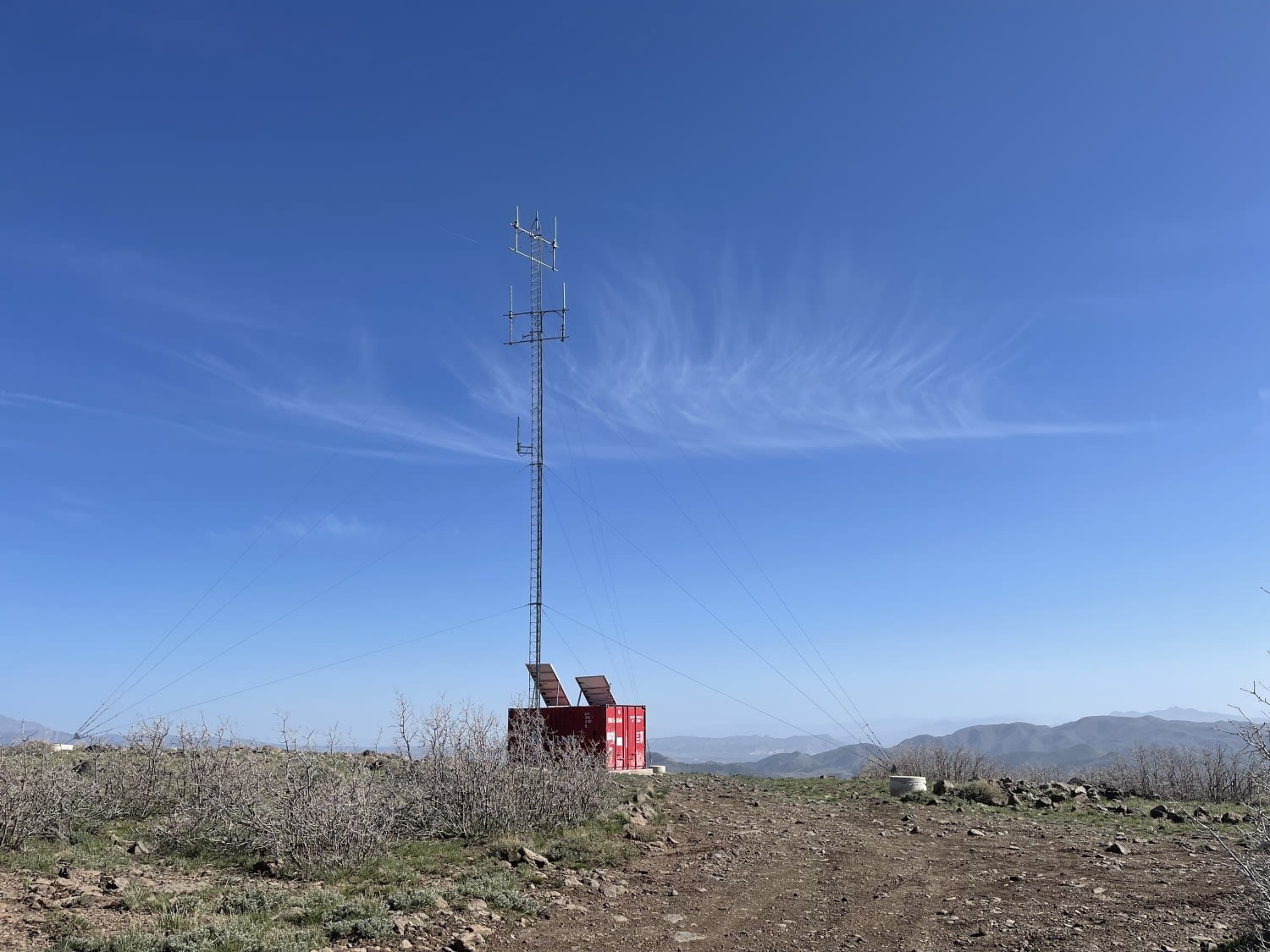
FAA To The Radio Towers
Total Miles
3.0
Tech Rating
Moderate
Best Time
Fall, Spring, Summer
Learn more about Factory Butte Road
Factory Butte Road
Total Miles
8.9
Tech Rating
Easy
Best Time
Spring, Summer, Fall
Learn more about Fairview Ranch - Lonesome Beaver Rd
Fairview Ranch - Lonesome Beaver Rd
Total Miles
22.5
Tech Rating
Easy
Best Time
Spring, Summer, Fall, Winter
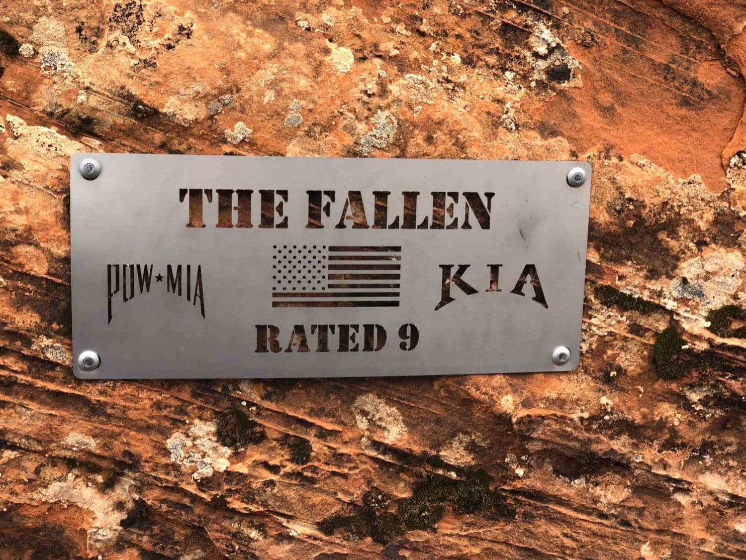
Learn more about Fallen Peace Officer Trail
Fallen Peace Officer Trail
Total Miles
9.9
Tech Rating
Moderate
Best Time
Spring, Summer, Fall
Learn more about Fallen Tree Gulch (FS#40634)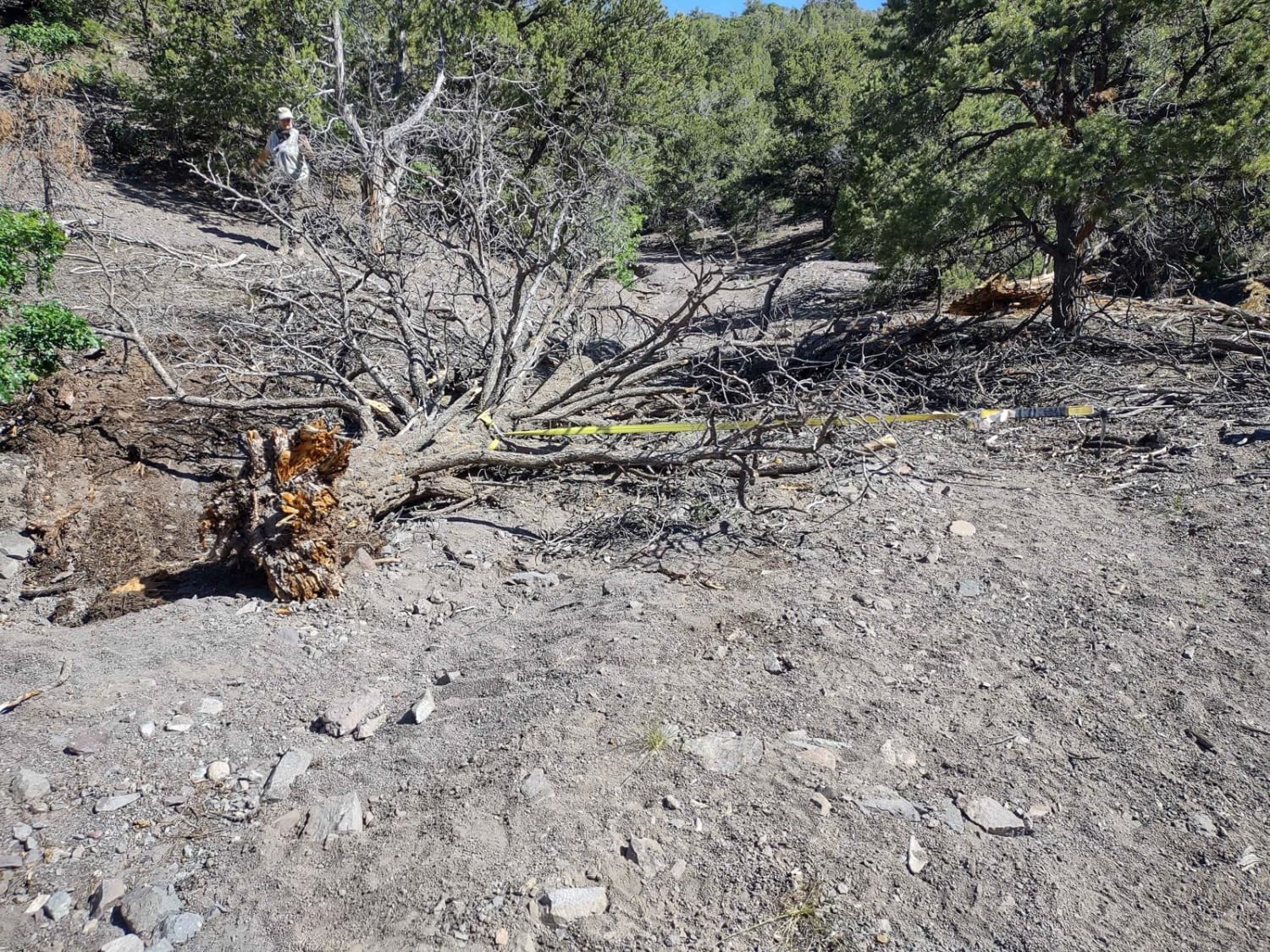
Fallen Tree Gulch (FS#40634)
Total Miles
4.0
Tech Rating
Easy
Best Time
Spring, Summer, Fall
ATV trails in Utah

Learn more about 14 Mile Road
14 Mile Road
Total Miles
14.7
Tech Rating
Easy
Best Time
Spring, Summer, Fall, Winter


UTV/side-by-side trails in Utah
Learn more about 14 Mile Road
14 Mile Road
Total Miles
14.7
Tech Rating
Easy
Best Time
Spring, Summer, Fall, Winter
The onX Offroad Difference
onX Offroad combines trail photos, descriptions, difficulty ratings, width restrictions, seasonality, and more in a user-friendly interface. Available on all devices, with offline access and full compatibility with CarPlay and Android Auto. Discover what you’re missing today!