FAA To The Radio Towers
Total Miles
3.0
Technical Rating
Best Time
Fall, Spring, Summer
Trail Type
High-Clearance 4x4 Trail
Accessible By
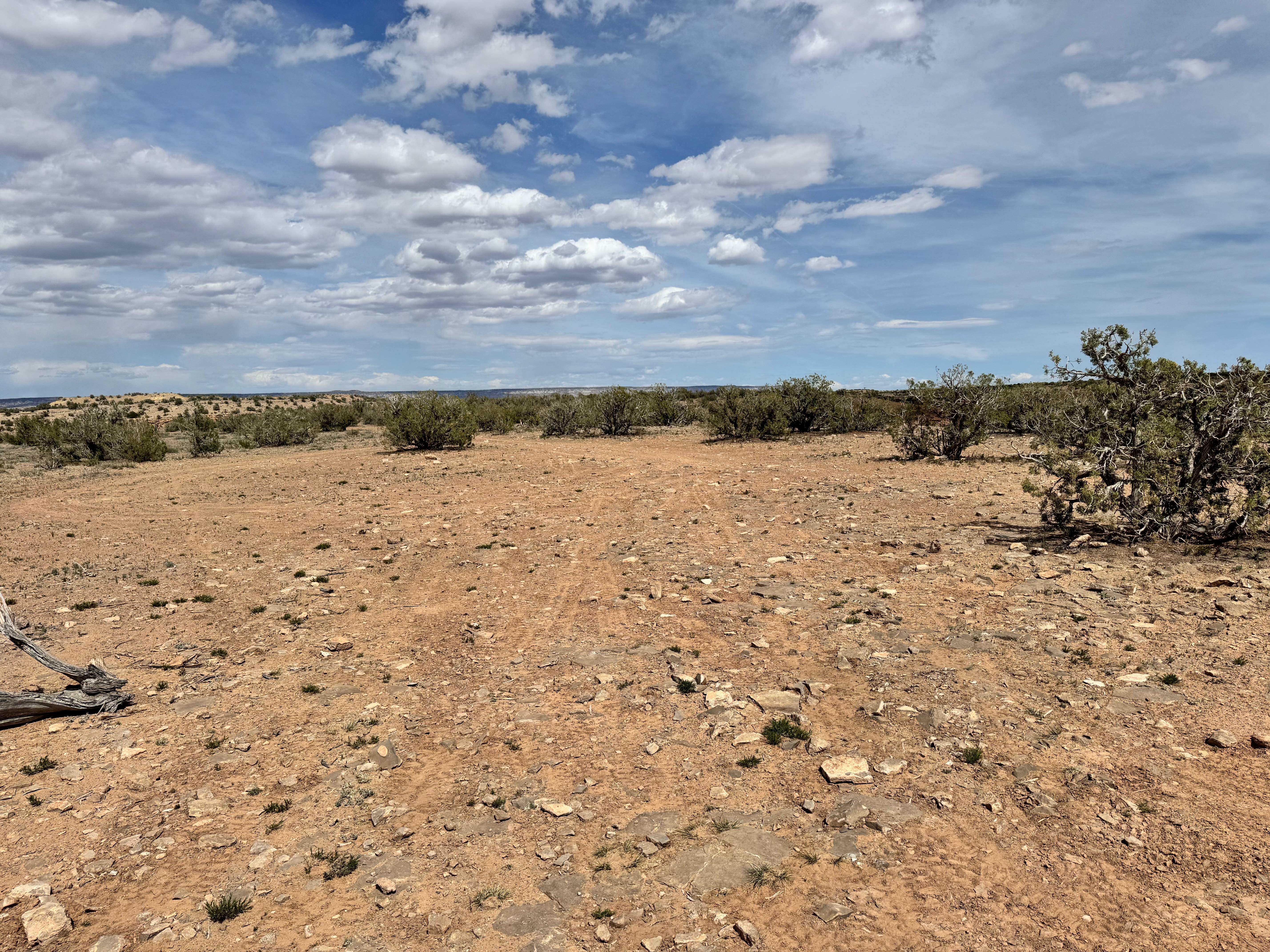
Trail Overview
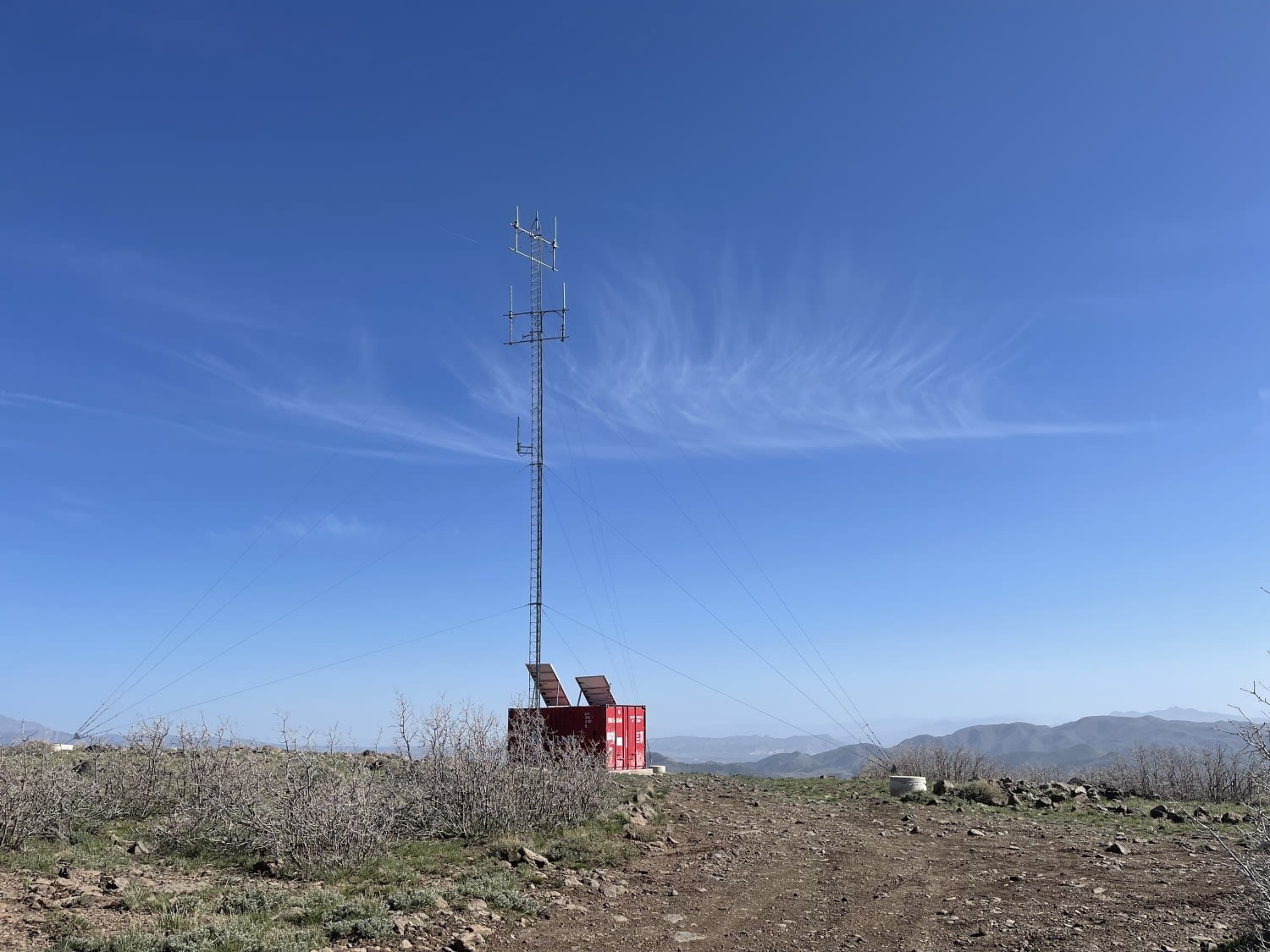
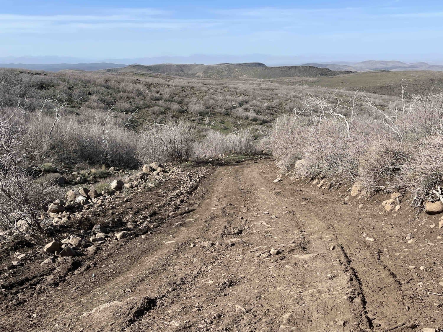
This moderate out and back heads to the top of the world, where there's an interesting-looking Conex container with some experimental-looking equipment. The lower section is twisty and rolling hills with excellent views all around. There is even a nice look tank, but unfortunately, no camping signs are posted in that area. Continuing on, the trail takes a sharp turn and has a long steep rocky climb. This hill is quite a climb and could be a nightmare if rainy. There are two bars of LTE service atop the mountain. None during the hill climb.
Photos of FAA To The Radio Towers
Difficulty
Mostly easy until you arrive to the steep loose hill climb, Its long and there could be no traction when wet.
Status Reports
FAA To The Radio Towers can be accessed by the following ride types:
- High-Clearance 4x4
- SxS (60")
- ATV (50")
- Dirt Bike
FAA To The Radio Towers Map
Popular Trails
Eggnog Star Springs Road-BLM13000
West Wedge Trail 1
Green Springs Trail
The onX Offroad Difference
onX Offroad combines trail photos, descriptions, difficulty ratings, width restrictions, seasonality, and more in a user-friendly interface. Available on all devices, with offline access and full compatibility with CarPlay and Android Auto. Discover what you’re missing today!