Fairview Ranch - Lonesome Beaver Rd
Total Miles
22.5
Technical Rating
Best Time
Spring, Summer, Fall, Winter
Trail Type
Full-Width Road
Accessible By
Trail Overview
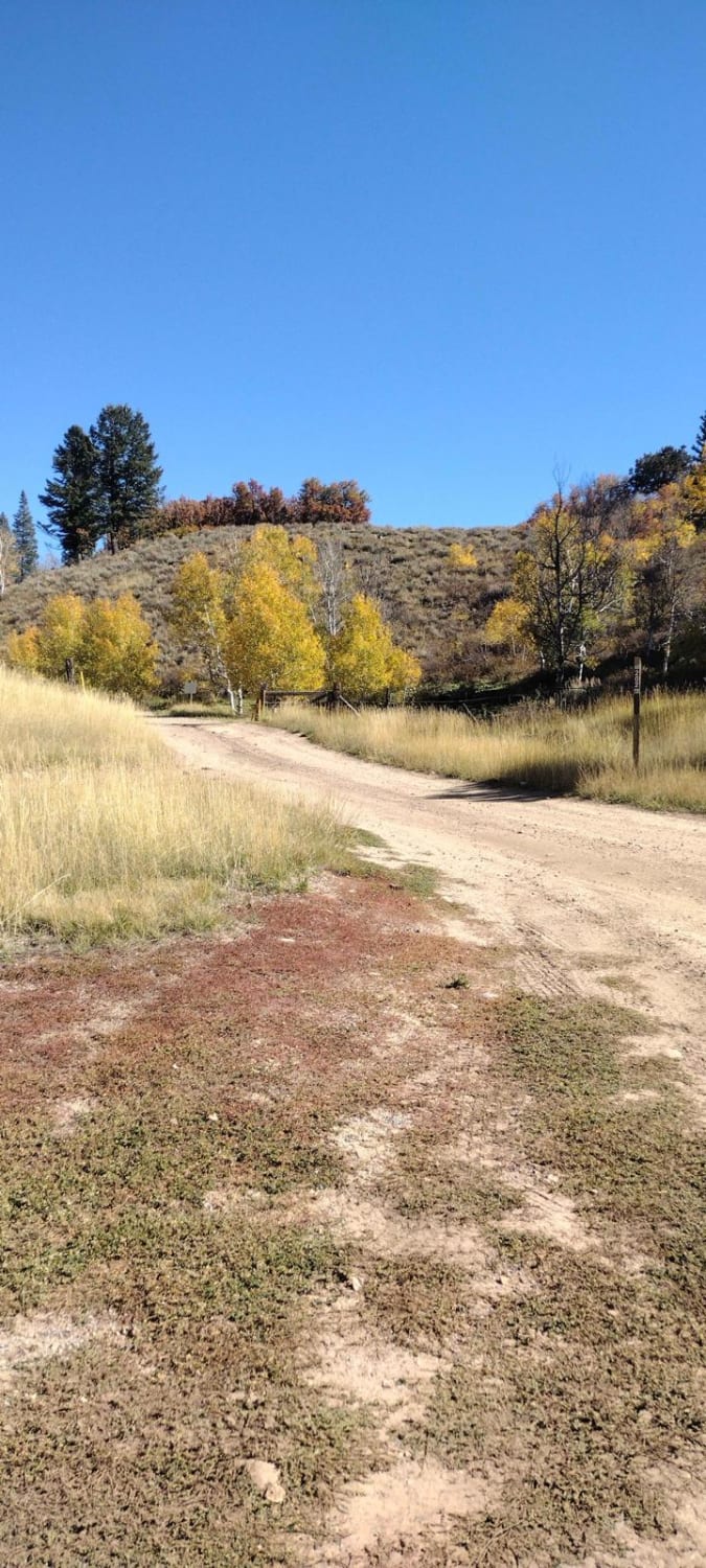
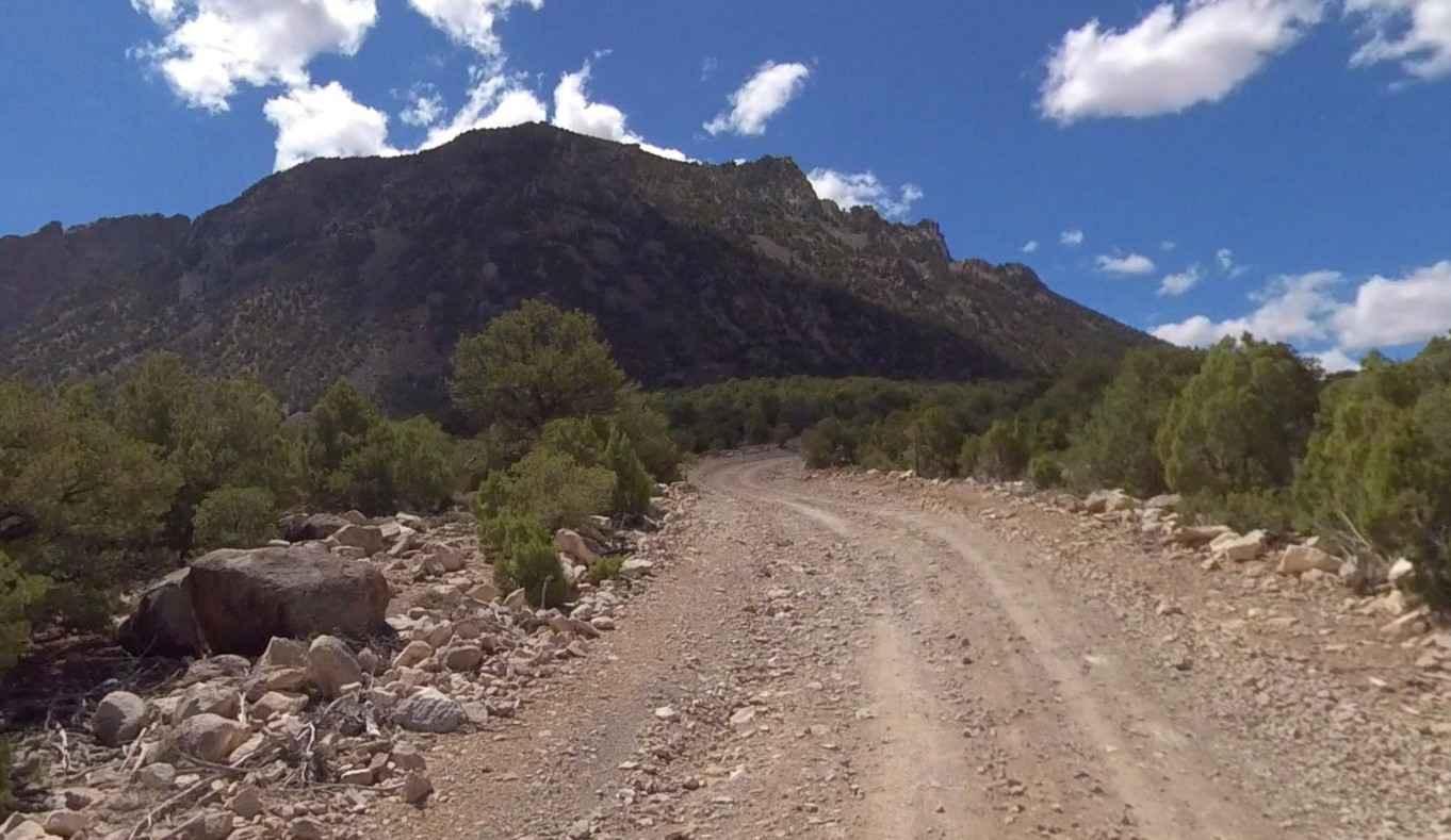
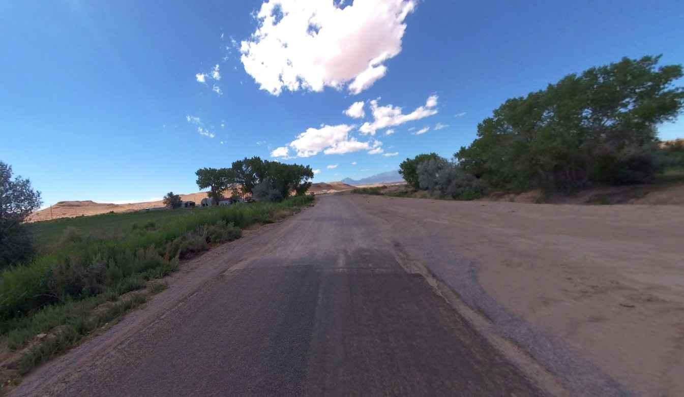
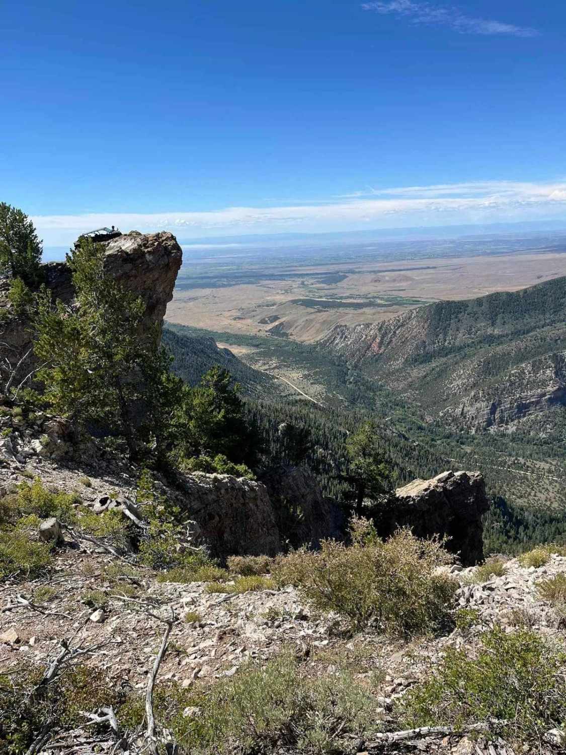
Fairview Ranch-Lonesome Beaver Road is a 22.5-mile point-to-point county road rated 2 of 10 located in Wayne and Garfield Counties. The road name is Fairview Ranch while in Wayne County and changes to Lonesome Beaver when it crosses over into Garfield County. Starting in the community of Hanksville this road leads to the Bull Mountain Wilderness Study Area and Wickiup Creek Pass. This is the primary north access to the Henry Mountains. The portion of the road from Hanksville to the Garfield County line is generally well well-maintained 2-lane gravel/dirt road. As the road continues south from the county line it will climb about 3000' in altitude in the last 5 miles. The northern portion of the trail runs through barren desert and scrub with some interesting rock mesa features. The southern portion of the road as it climbs into the Henry Mountains starts in pine and transitions to Aspen. The road up into the mountain is generally open from late spring until early winter. Once snow starts falling the southern portion of the road will become impassable. Cell service was intermittent once leaving Hanksville and non-existent in the mountains. The nearest services are located in Hanksville.
Photos of Fairview Ranch - Lonesome Beaver Rd
Difficulty
County dirt road with infrequent or light maintenance after rain or snow, high clearance light duty 4WD may be required.
Fairview Ranch - Lonesome Beaver Rd can be accessed by the following ride types:
- High-Clearance 4x4
- SUV
- SxS (60")
- ATV (50")
- Dirt Bike
Fairview Ranch - Lonesome Beaver Rd Map
Popular Trails

FS 80202 - Cedar Hollow

Ripple Valley Road 2.0

Stout Canyon Road
The onX Offroad Difference
onX Offroad combines trail photos, descriptions, difficulty ratings, width restrictions, seasonality, and more in a user-friendly interface. Available on all devices, with offline access and full compatibility with CarPlay and Android Auto. Discover what you’re missing today!


