Evasive Maneuvers
Total Miles
7.3
Technical Rating
Best Time
Summer, Spring, Fall, Winter
Trail Type
Single Track
Accessible By
Trail Overview
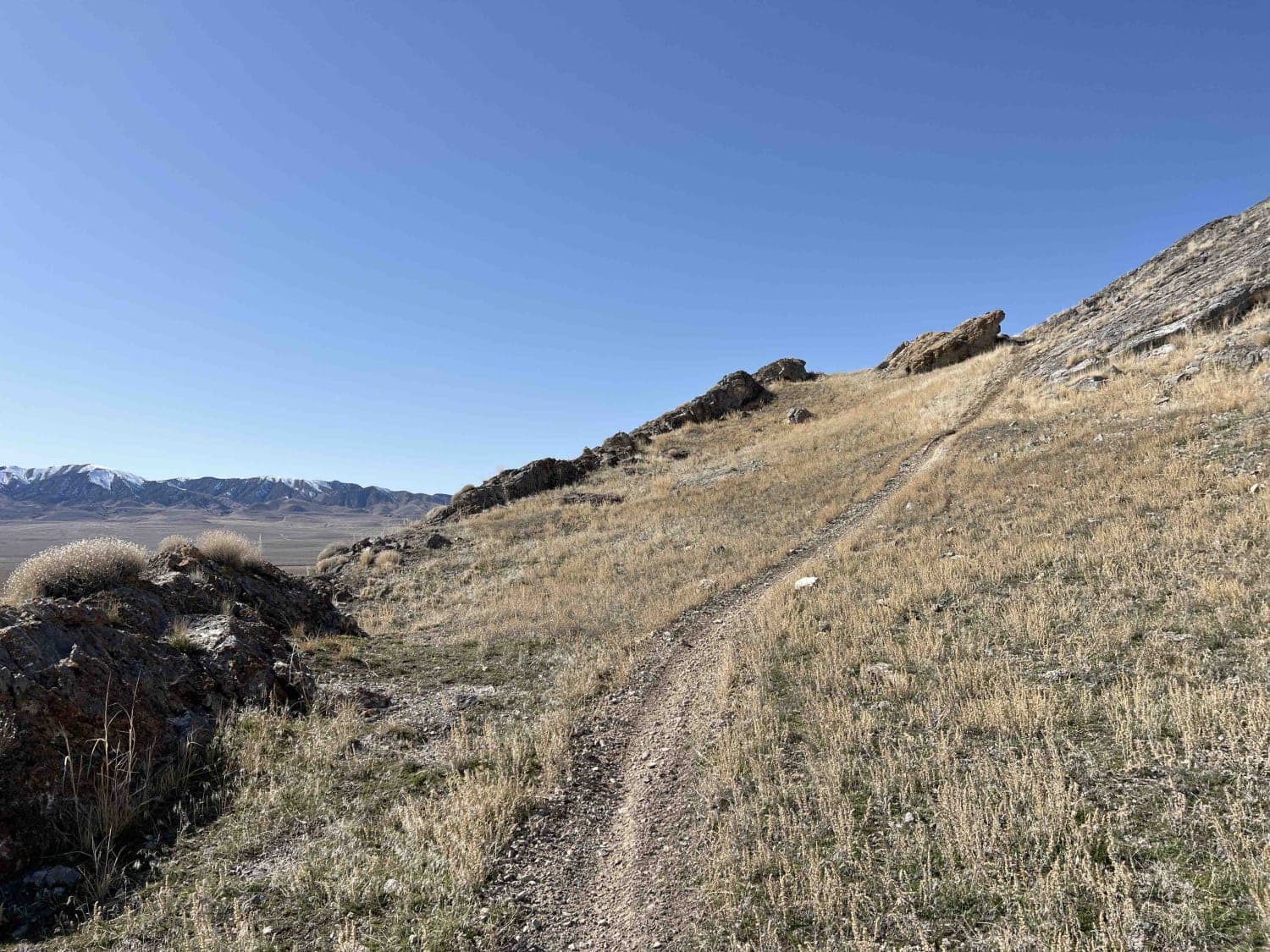
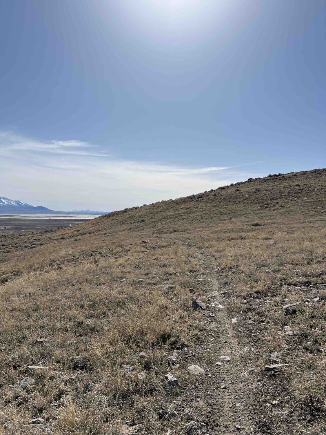
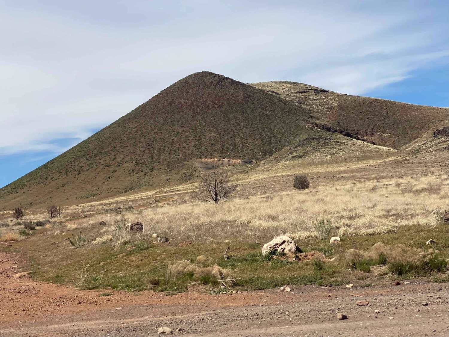
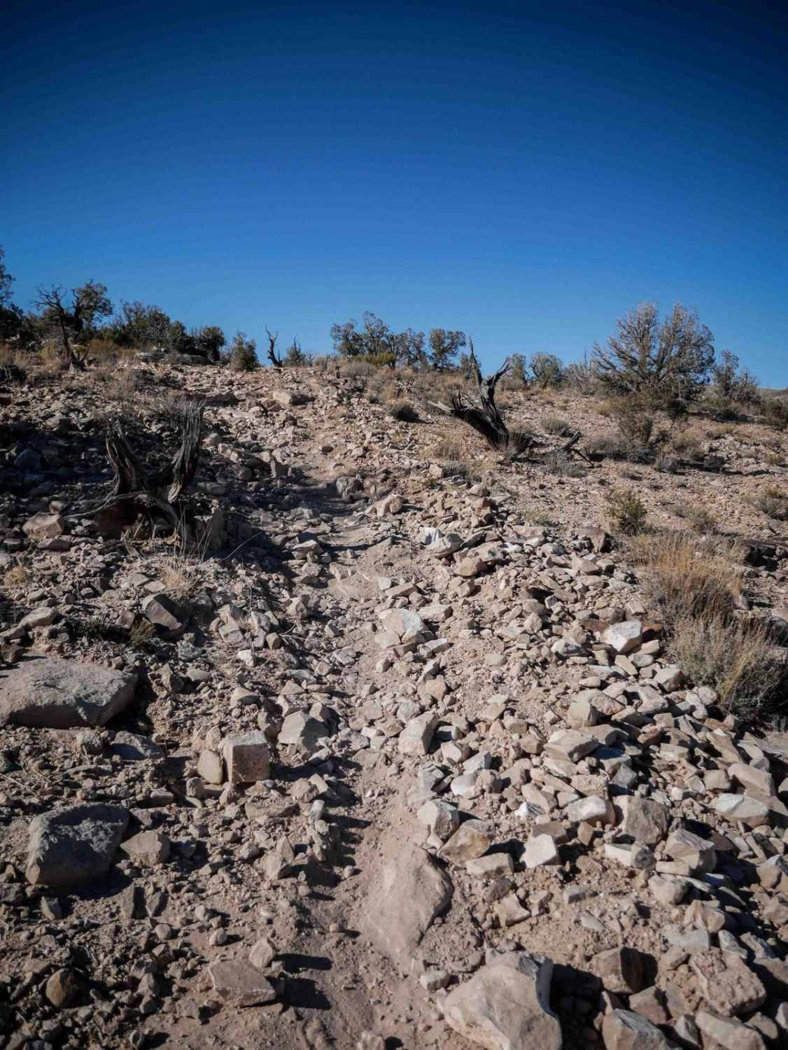
Evasive Maneuvers starts where Easyrider and Basin Twister intersect. It travels mostly westward from here, although there are about 100 turns to make before reaching the end at Rusty Drum and Cow Connector. This track is 7.4 miles long and covers tons of ground in the foothills north of the Delle exit. Most of the trail is soft dirt through fields, however, there are some solid rock sections.
Photos of Evasive Maneuvers
Difficulty
This trail is mostly grass and dirt surface with some solid rock slabs and moderate hill exposure.
Evasive Maneuvers can be accessed by the following ride types:
- Dirt Bike
Evasive Maneuvers Map
Popular Trails


Southeast Promontory Road
Neversweat Wash North
The onX Offroad Difference
onX Offroad combines trail photos, descriptions, difficulty ratings, width restrictions, seasonality, and more in a user-friendly interface. Available on all devices, with offline access and full compatibility with CarPlay and Android Auto. Discover what you’re missing today!