Easyrider
Total Miles
4.6
Technical Rating
Best Time
Spring, Summer, Fall, Winter
Trail Type
Single Track
Accessible By
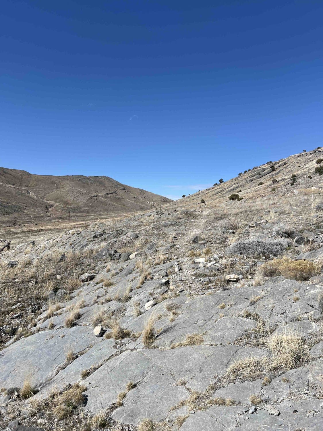
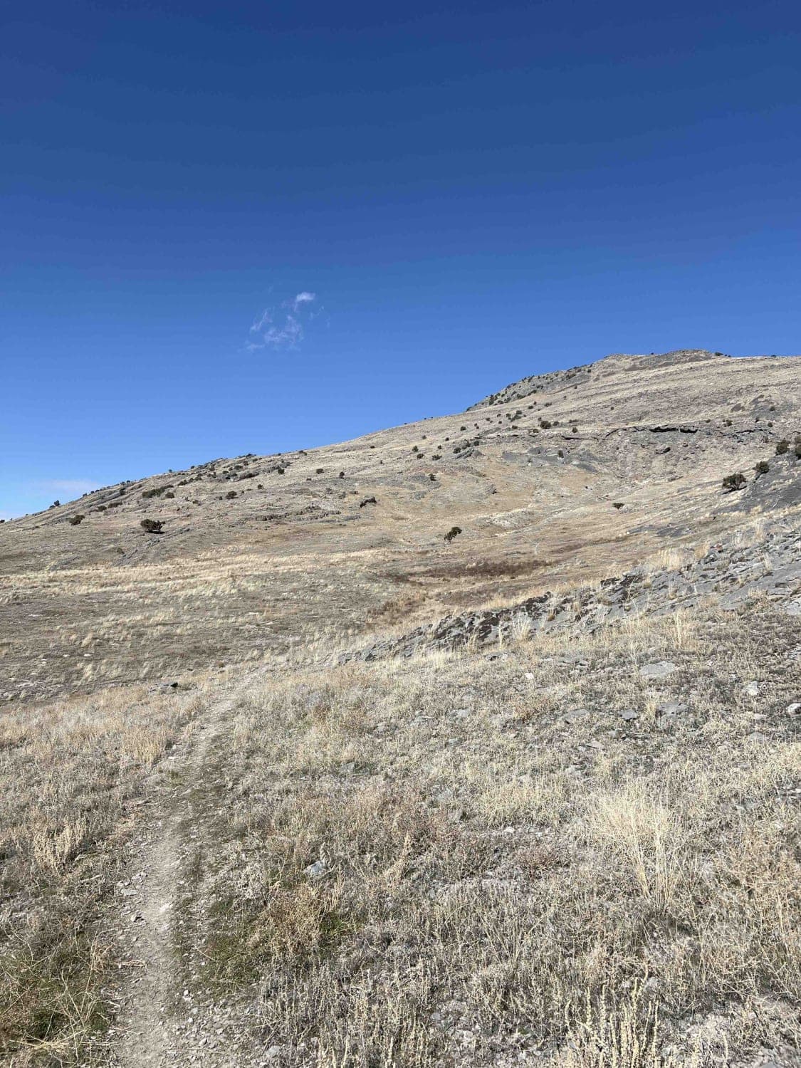
Trail Overview
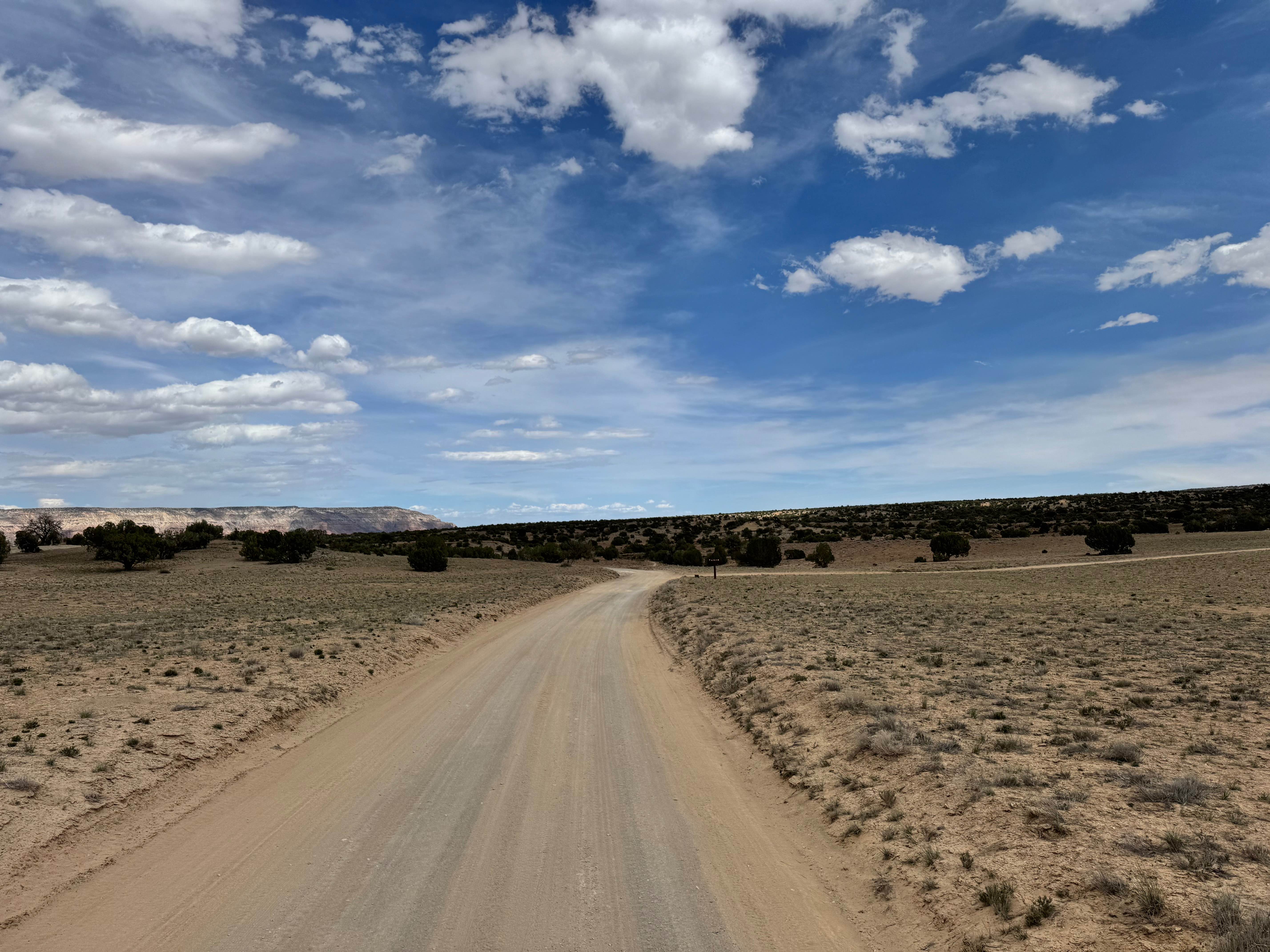
Easyrider is a 4.7-mile-long mellow trail that connects the Rowley Turn Track to Basin Twister. It runs along the bottom of the mountain range through grass fields. The ground surface is primarily dirt with very few rocks. It's a forgiving trail with lots of wide-radius turns where you can really get some speed going. Watch out for several ditches that break up the flow of the trail in a few areas.
Photos of Easyrider
Difficulty
This is an easy, wide trail that doesn't have any obstacles besides a few ditches.
Status Reports
Easyrider can be accessed by the following ride types:
- Dirt Bike
Easyrider Map
Popular Trails
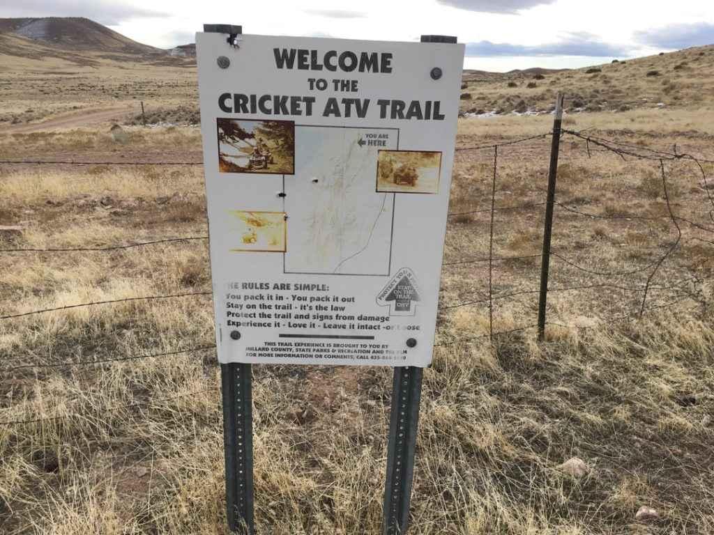
Cricket Mountain OHV Route 12
BLM 626 Cutoff

North Lakeshore Drive
Lower Wedge Road
The onX Offroad Difference
onX Offroad combines trail photos, descriptions, difficulty ratings, width restrictions, seasonality, and more in a user-friendly interface. Available on all devices, with offline access and full compatibility with CarPlay and Android Auto. Discover what you’re missing today!