BLM 626 Cutoff
Total Miles
1.2
Technical Rating
Best Time
Spring, Summer, Fall, Winter
Trail Type
Full-Width Road
Accessible By
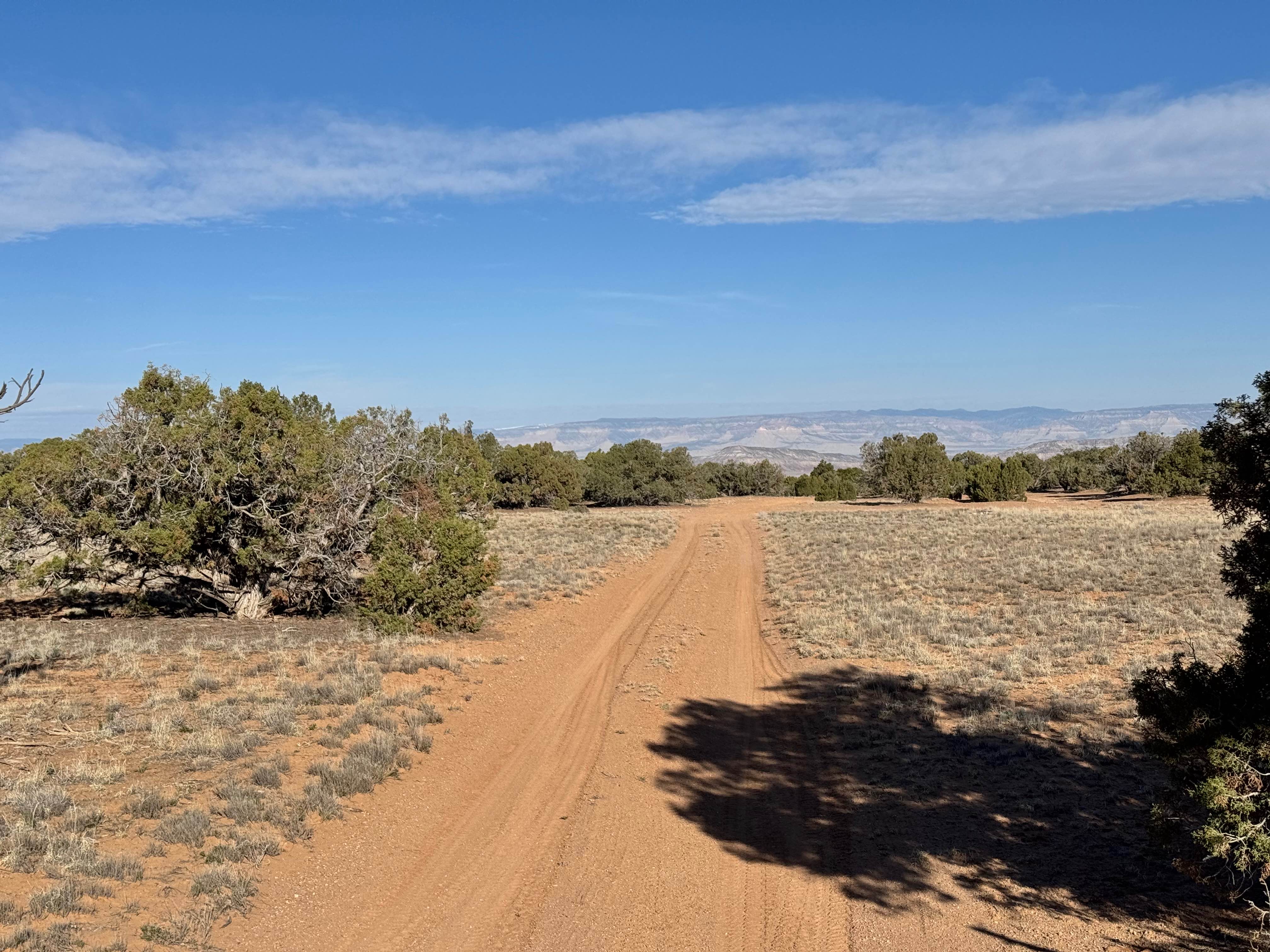
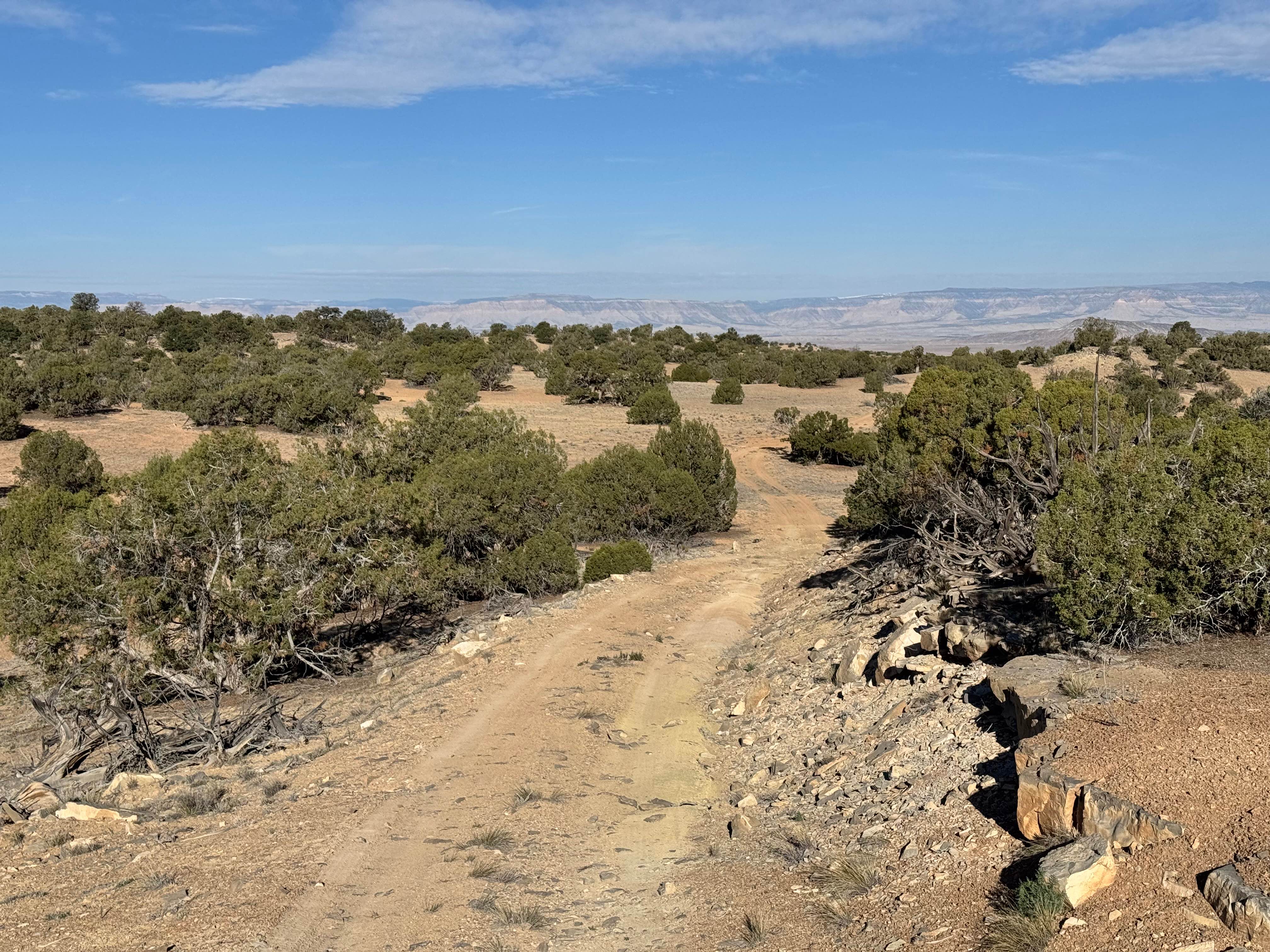
Trail Overview
Non-Resident OHV permits apply to ATVs, UTVs, and dirt bikes. Plated street-legal vehicles typically do not need one on legal motorized routes. This quiet spur lives up to its reputation, offering a peaceful escape from the more traveled routes in the San Rafael Swell. Connecting BLM 626 to Calf Canyon, the trail is a simple dirt and sand two track that winds through open desert terrain with scattered cacti and small trees lining the route. It remains only one vehicle wide for its entire length, so passing opportunities are limited and require planning if another vehicle is encountered. The drive is easy with no major obstacles, making it accessible for most high clearance 4x4 vehicles in dry conditions. If traveling from Calf Canyon, the trail opens up to impressive views of the distant mountains, adding to the sense of isolation and space. Along the way, there is a standout campsite that offers a scenic overlook, perfect for those looking to spend a quiet night away from the crowds. Staying on the established trail is important to protect the surrounding desert environment.
Photos of BLM 626 Cutoff
Difficulty
This trail is a straightforward dirt and sand two track with no major obstacles, making it suitable for most high clearance SUVs and 4WD vehicles in dry conditions. The only challenge is the narrow, one-vehicle-wide route with limited passing opportunities and light vegetation that may brush against your vehicle potentially resulting in pinstriping.
History
The San Rafael Swell is a massive geologic uplift shaped by erosion into canyons, mesas, domes, and reefs. Many roads in the region were later used for ranching, mining, and energy exploration, creating the access routes travelers still use today.
Status Reports
BLM 626 Cutoff can be accessed by the following ride types:
- High-Clearance 4x4
- SUV
- SxS (60")
- ATV (50")
- Dirt Bike
BLM 626 Cutoff Map
Popular Trails

Revenue Gulch to Rainbow Road
Mount Dutton - Cottonwood (30125/30353)
San Rafael 9130

Murdock Basin - FR 80137
The onX Offroad Difference
onX Offroad combines trail photos, descriptions, difficulty ratings, width restrictions, seasonality, and more in a user-friendly interface. Available on all devices, with offline access and full compatibility with CarPlay and Android Auto. Discover what you’re missing today!