Off-Road Trails in Utah
Discover off-road trails in Utah

Learn more about Crystal Geyser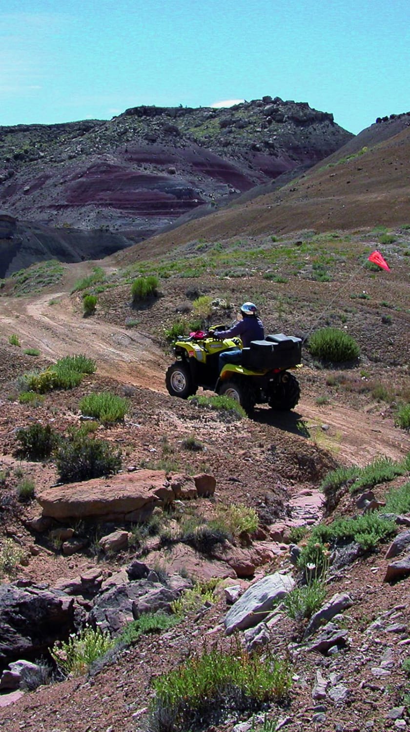
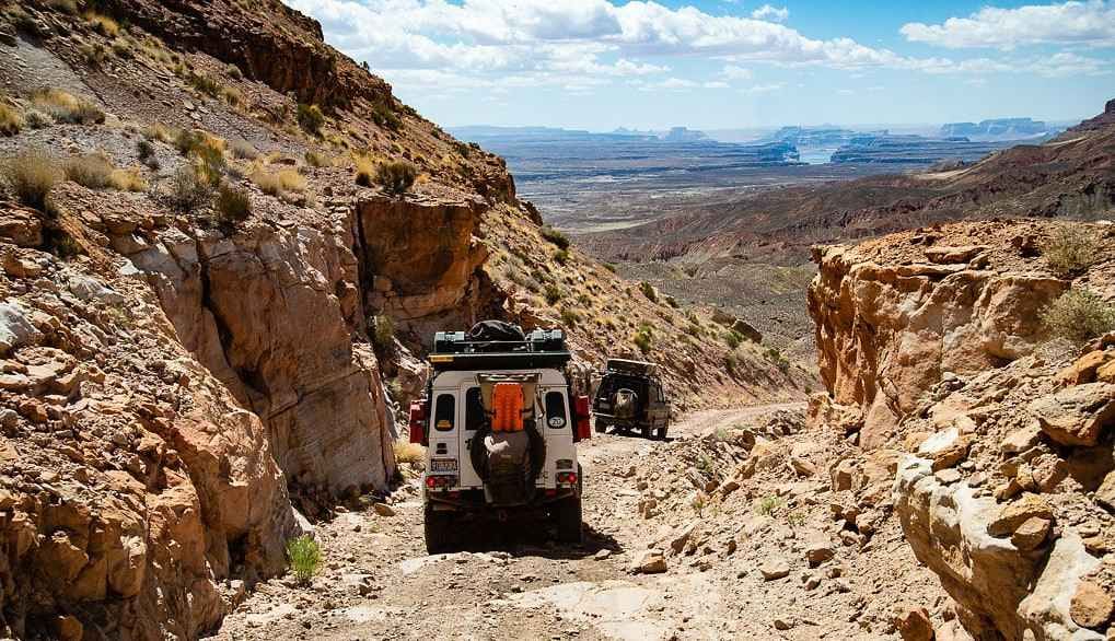
Crystal Geyser
Total Miles
22.4
Tech Rating
Moderate
Best Time
Spring, Summer, Fall
Learn more about Crystal Geyser Road 
Crystal Geyser Road
Total Miles
4.3
Tech Rating
Easy
Best Time
Spring, Winter, Fall
Learn more about Crystal Geyser Road -Grand CR150
Crystal Geyser Road -Grand CR150
Total Miles
6.4
Tech Rating
Easy
Best Time
Spring, Summer, Fall, Winter
Learn more about Crystal Geyser Road to Salt Wash North 4x4 
Crystal Geyser Road to Salt Wash North 4x4
Total Miles
5.3
Tech Rating
Moderate
Best Time
Spring, Winter, Fall
Learn more about Crystal Geyser Trail (North) 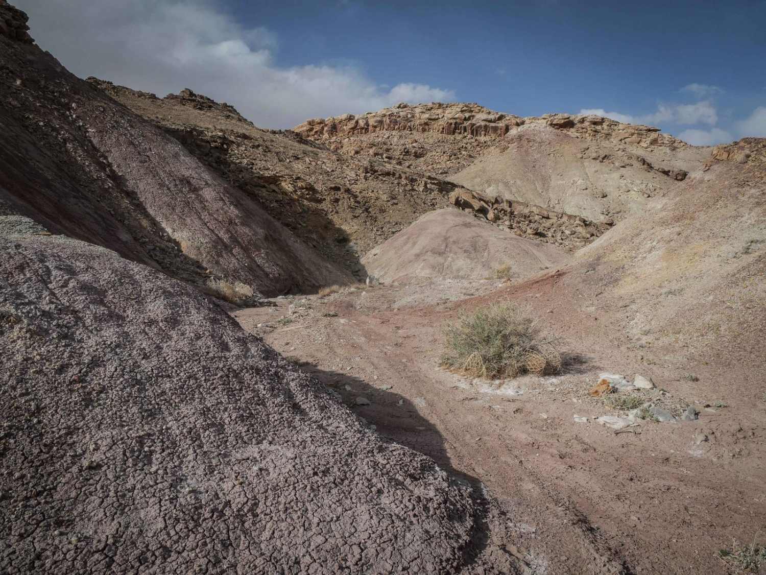
Crystal Geyser Trail (North)
Total Miles
1.5
Tech Rating
Moderate
Best Time
Spring, Winter, Fall
Learn more about Crystal Geyser Trail (South)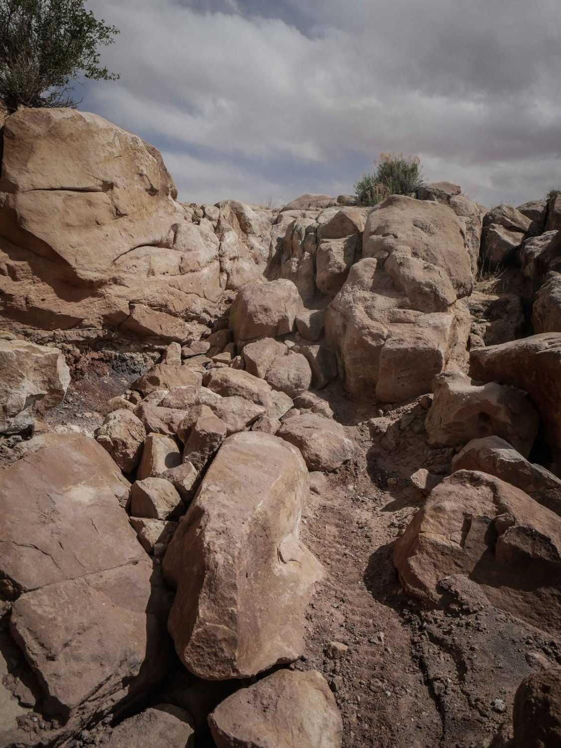
Crystal Geyser Trail (South)
Total Miles
5.8
Tech Rating
Difficult
Best Time
Spring, Winter, Fall
Learn more about Cummings Creek Road- FS 41680
Cummings Creek Road- FS 41680
Total Miles
4.2
Tech Rating
Easy
Best Time
Summer, Spring, Fall
Learn more about Cummings Parkway Road
Cummings Parkway Road
Total Miles
7.9
Tech Rating
Easy
Best Time
Summer, Fall
Learn more about Cunningham Wash Road (BC-4)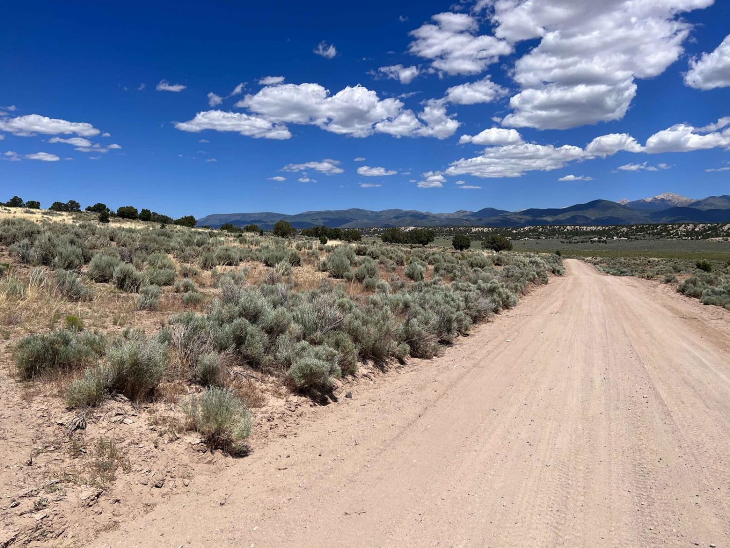
Cunningham Wash Road (BC-4)
Total Miles
18.8
Tech Rating
Easy
Best Time
Spring, Summer, Fall, Winter
Learn more about Curly Hollow Wash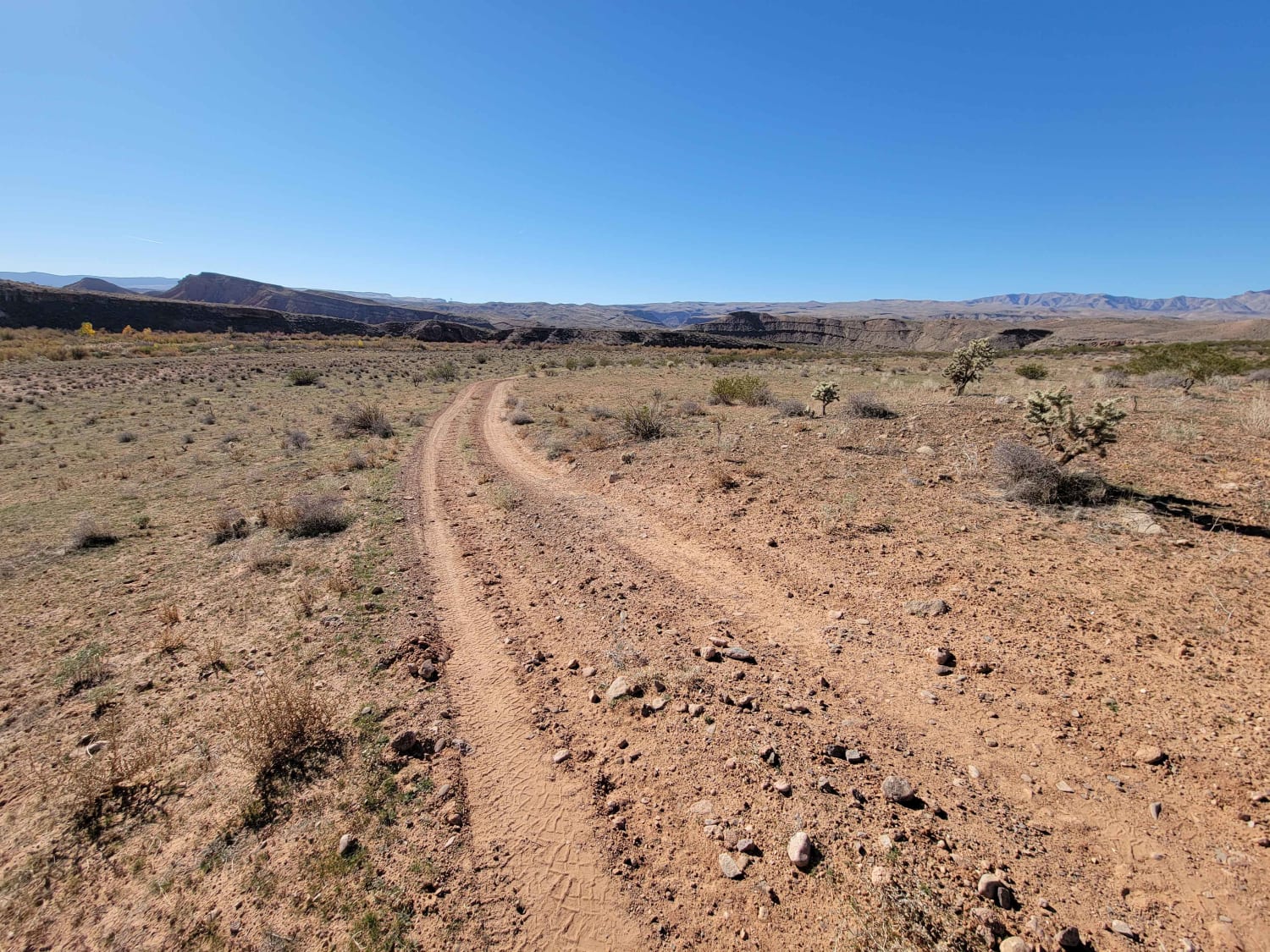
Curly Hollow Wash
Total Miles
2.7
Tech Rating
Easy
Best Time
Winter, Fall, Summer, Spring
Learn more about Currant Ridge (FR 70080)
Currant Ridge (FR 70080)
Total Miles
19.7
Tech Rating
Moderate
Best Time
Summer, Fall
Learn more about Curtis Creek Road (FR059)
Curtis Creek Road (FR059)
Total Miles
16.6
Tech Rating
Easy
Best Time
Spring, Summer, Fall
Learn more about Cutler Point-BLM1035
Cutler Point-BLM1035
Total Miles
4.2
Tech Rating
Easy
Best Time
Spring, Summer, Fall, Winter
Learn more about Cutoff Canyon - BLM AR11
Cutoff Canyon - BLM AR11
Total Miles
2.9
Tech Rating
Easy
Best Time
Spring, Summer, Fall
Learn more about Cutoff Ridge Road - BLM AR13
Cutoff Ridge Road - BLM AR13
Total Miles
5.5
Tech Rating
Easy
Best Time
Spring, Fall
Learn more about D's Workaround (D1228)
D's Workaround (D1228)
Total Miles
2.2
Tech Rating
Easy
Best Time
Spring, Summer, Fall, Winter
ATV trails in Utah

Learn more about 14 Mile Road
14 Mile Road
Total Miles
14.7
Tech Rating
Easy
Best Time
Spring, Summer, Fall, Winter


UTV/side-by-side trails in Utah
Learn more about 14 Mile Road
14 Mile Road
Total Miles
14.7
Tech Rating
Easy
Best Time
Spring, Summer, Fall, Winter
The onX Offroad Difference
onX Offroad combines trail photos, descriptions, difficulty ratings, width restrictions, seasonality, and more in a user-friendly interface. Available on all devices, with offline access and full compatibility with CarPlay and Android Auto. Discover what you’re missing today!