County Road 1345
Total Miles
1.6
Technical Rating
Best Time
Spring, Summer, Fall
Trail Type
High-Clearance 4x4 Trail
Accessible By
Trail Overview
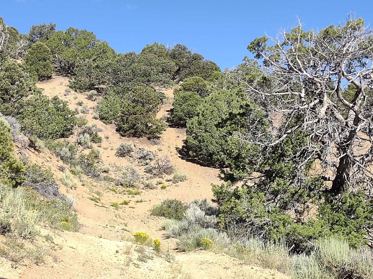
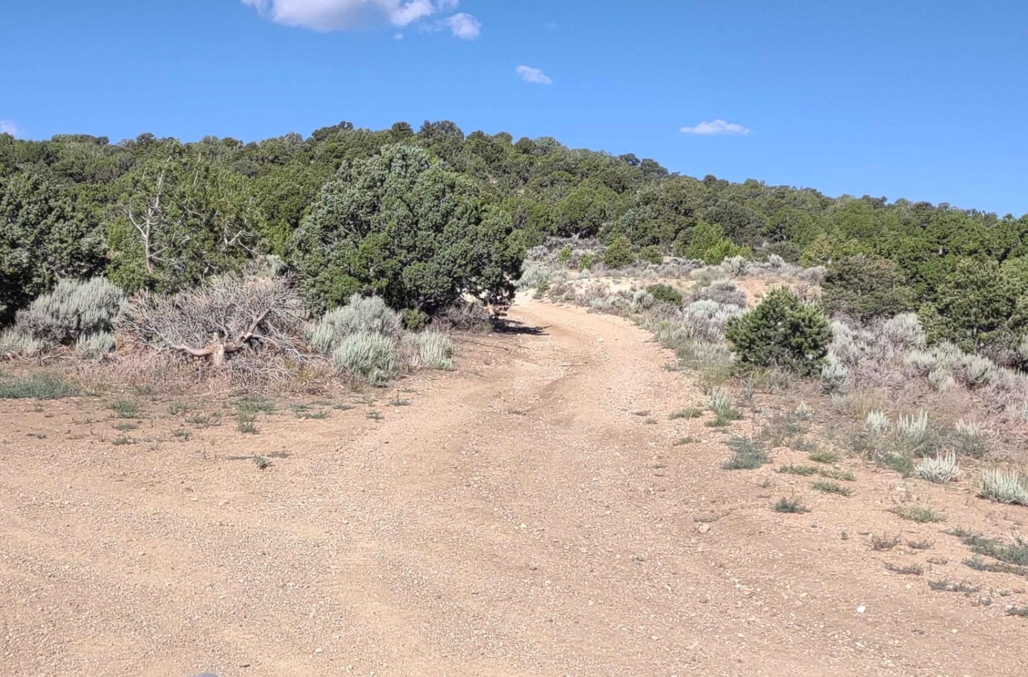
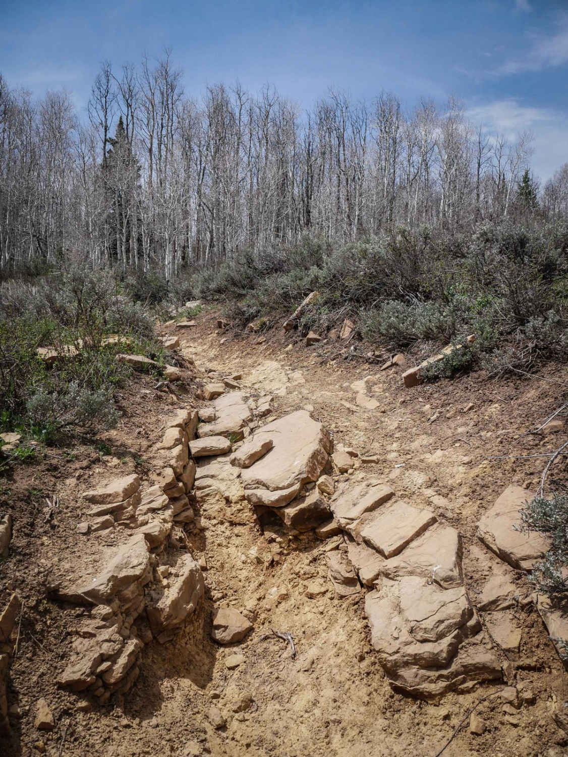
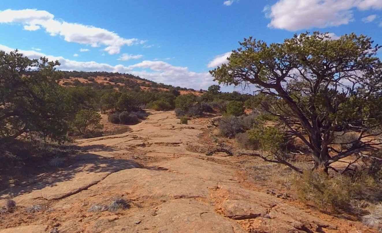
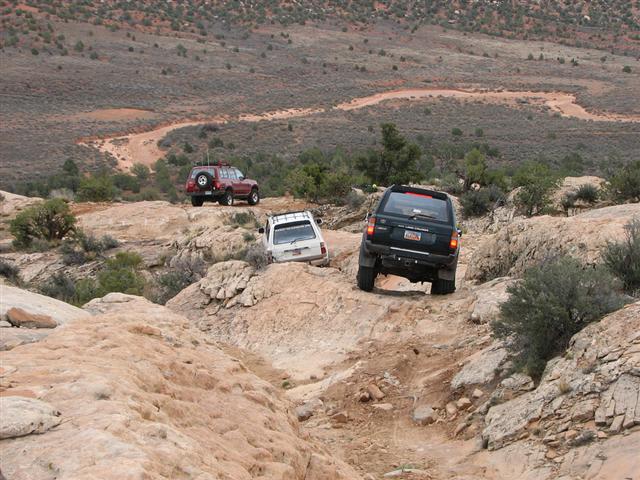
County Road 1345 is a two-track trail on the map, but the BLM labeled it as a county road. It's a good trail, it's full-width, and it connects to a huge riding area with a lot of trails that only show up as two tracks, but it's not a "county road" in the traditional sense of the word. This trail climbs around in the foothills below the Sevier Plateau. It's a dirt trail with some embedded rocks that are not difficult to navigate but do require good ground clearance. In parts of the trail, the ground is more sandy than dirt. You move among the pines and oak brush, and at the top of the hills, you have fantastic views of the valleys below and the distant mountains. There is hardly any traffic in this area, so that's nice. Some of the trails are a bit off-camber as they run along the side of the hills in places, but it's nothing too difficult. And there are side trails galore, so you can ride to your heart's content. Remember, to off-road in Utah, you need an OHV sticker and the online education course certificate.
Photos of County Road 1345
Difficulty
There are rock obstacles, some off-camber, and some inclines/declines that may be impacted by run-off or heavy rain.
History
This area of Southern Utah is rich in mining history, as well as dairy and cattle ranching and a sawmill operation that operated on top of the Sevier Plateau. Henry Torgerson operated a sawmill over near Monroe Peak from 1914 to 1939. The Brindley Dairy was in operation on the Sevier Plateau from 1891-1894. Old mining operations/sites can be found all over these mountains but most have no historical data.
Status Reports
County Road 1345 can be accessed by the following ride types:
- High-Clearance 4x4
- SxS (60")
- ATV (50")
- Dirt Bike
County Road 1345 Map
Popular Trails

French Hollow #027
Two Pipe Springs-BLM16260
Hotel Rock
The onX Offroad Difference
onX Offroad combines trail photos, descriptions, difficulty ratings, width restrictions, seasonality, and more in a user-friendly interface. Available on all devices, with offline access and full compatibility with CarPlay and Android Auto. Discover what you’re missing today!