Off-Road Trails in Utah
Discover off-road trails in Utah
Learn more about Bushmaster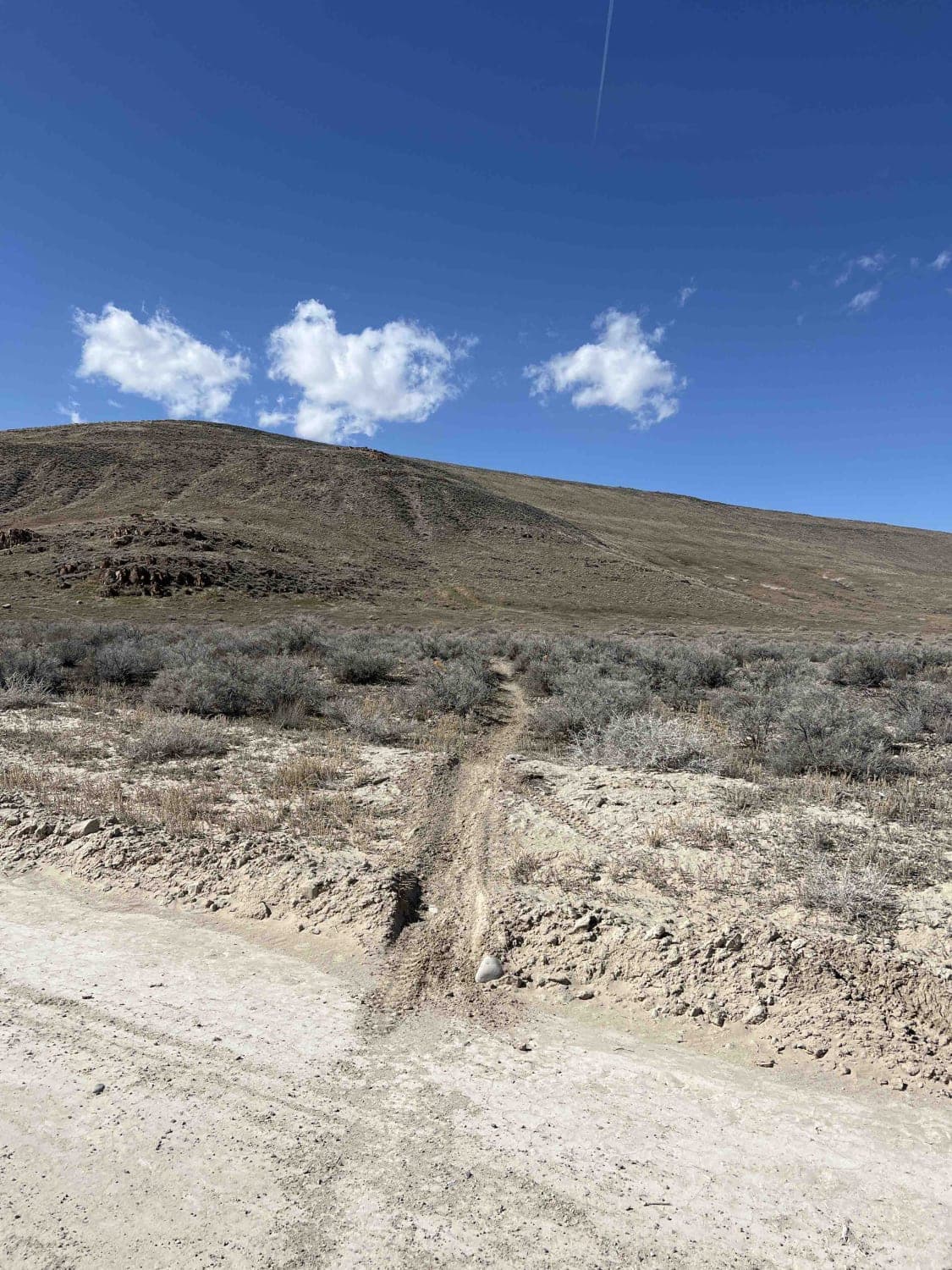
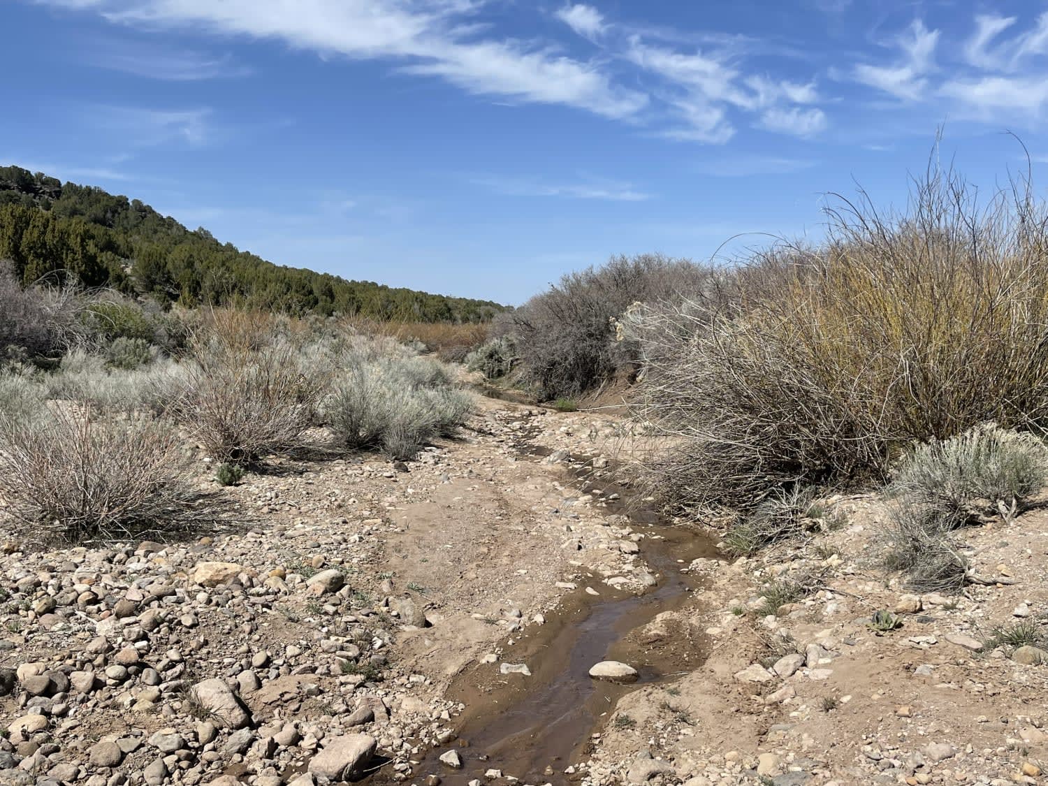
Bushmaster
Total Miles
4.2
Tech Rating
Moderate
Best Time
Spring, Summer, Fall, Winter
Learn more about Butch Cassidy Loop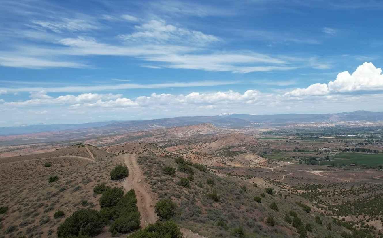
Butch Cassidy Loop
Total Miles
14.9
Tech Rating
Moderate
Best Time
Spring, Summer, Fall, Winter
Learn more about Butch Cassidy Trail
Butch Cassidy Trail
Total Miles
3.6
Tech Rating
Easy
Best Time
Spring, Summer, Fall
Learn more about Butch Cassidy's Hideout - FS 30121
Butch Cassidy's Hideout - FS 30121
Total Miles
1.5
Tech Rating
Easy
Best Time
Spring, Summer, Fall
Learn more about Butler Springs Trail - FS40359
Butler Springs Trail - FS40359
Total Miles
2.1
Tech Rating
Easy
Best Time
Spring, Summer, Fall
Learn more about Butler Wash Road
Butler Wash Road
Total Miles
21.3
Tech Rating
Moderate
Best Time
Spring, Fall
Learn more about Butterfield Canyon
Butterfield Canyon
Total Miles
13.8
Tech Rating
Moderate
Best Time
Spring, Summer, Fall
Learn more about Buttes and Towers-Moab
Buttes and Towers-Moab
Total Miles
17.5
Tech Rating
Easy
Best Time
Spring, Summer, Fall, Winter
Learn more about Bzzackward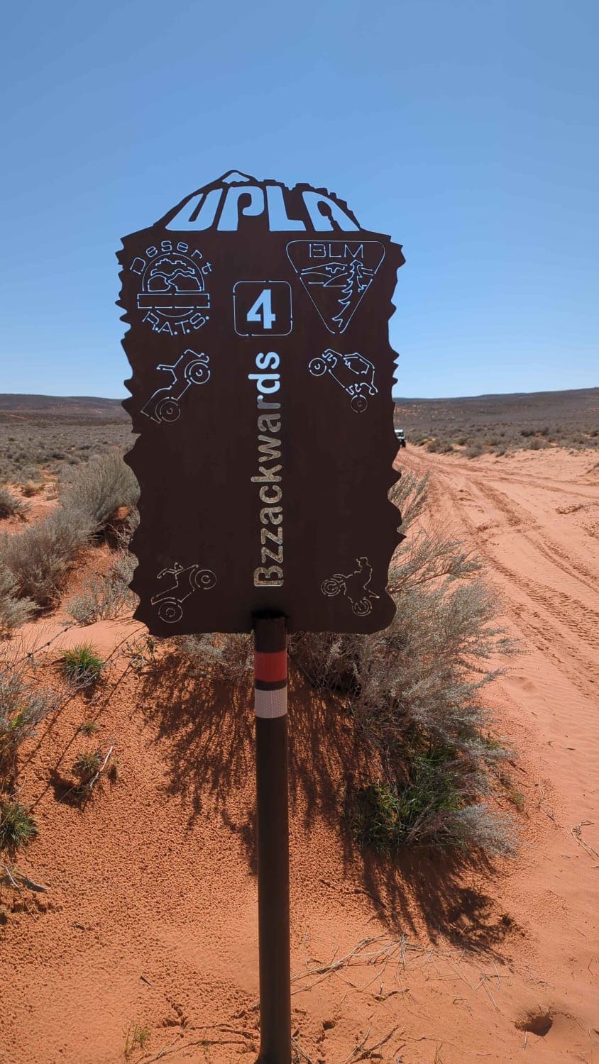
Bzzackward
Total Miles
10.3
Tech Rating
Moderate
Best Time
Spring, Summer, Fall, Winter
Learn more about Cactus Rat
Cactus Rat
Total Miles
3.0
Tech Rating
Moderate
Best Time
Spring, Summer, Fall, Winter
Learn more about Cactus Rat Hills
Cactus Rat Hills
Total Miles
3.3
Tech Rating
Easy
Best Time
Spring, Summer, Fall, Winter
Learn more about Cactus Rat Spur 2
Cactus Rat Spur 2
Total Miles
3.7
Tech Rating
Easy
Best Time
Spring, Summer, Fall, Winter
Learn more about Caddy Creek/Little Valley
Caddy Creek/Little Valley
Total Miles
5.5
Tech Rating
Easy
Best Time
Spring, Summer, Fall
Learn more about Cameo Cliffs to Wilson Arch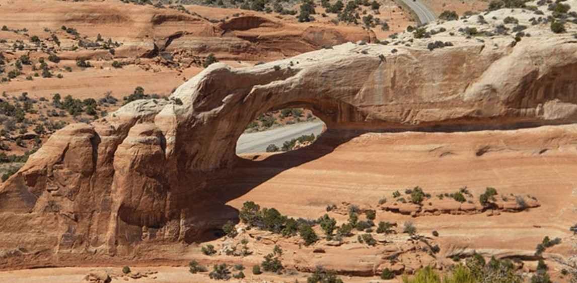
Cameo Cliffs to Wilson Arch
Total Miles
18.4
Tech Rating
Moderate
Best Time
Spring, Summer, Fall, Winter
Learn more about Camp Jackson Trail
Camp Jackson Trail
Total Miles
3.9
Tech Rating
Moderate
Best Time
Summer, Fall, Spring
Learn more about Campbell Hollow - FR70122
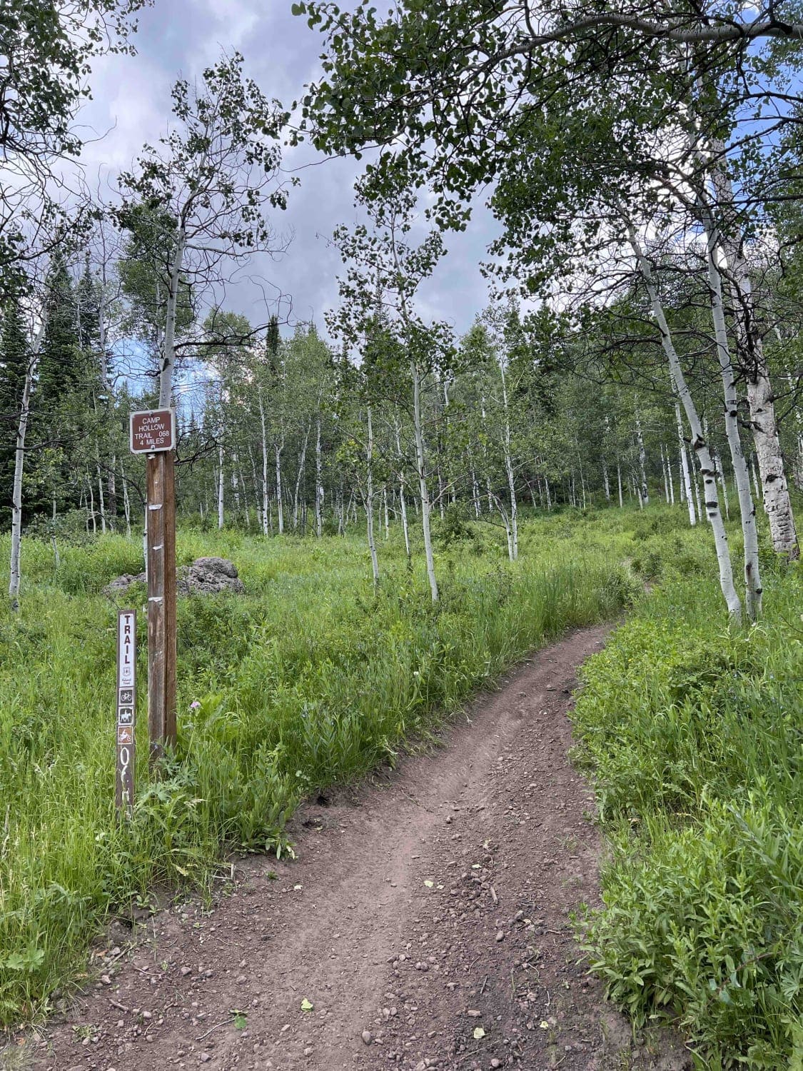
Campbell Hollow - FR70122
Total Miles
2.9
Tech Rating
Easy
Best Time
Summer, Fall
ATV trails in Utah

Learn more about 14 Mile Road
14 Mile Road
Total Miles
14.7
Tech Rating
Easy
Best Time
Spring, Summer, Fall, Winter


UTV/side-by-side trails in Utah
Learn more about 14 Mile Road
14 Mile Road
Total Miles
14.7
Tech Rating
Easy
Best Time
Spring, Summer, Fall, Winter
The onX Offroad Difference
onX Offroad combines trail photos, descriptions, difficulty ratings, width restrictions, seasonality, and more in a user-friendly interface. Available on all devices, with offline access and full compatibility with CarPlay and Android Auto. Discover what you’re missing today!