By The Way
Total Miles
0.8
Technical Rating
Best Time
Fall, Summer
Trail Type
High-Clearance 4x4 Trail
Accessible By
Trail Overview
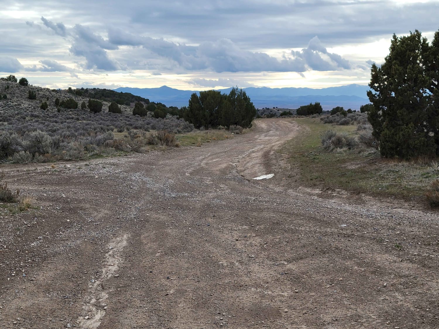
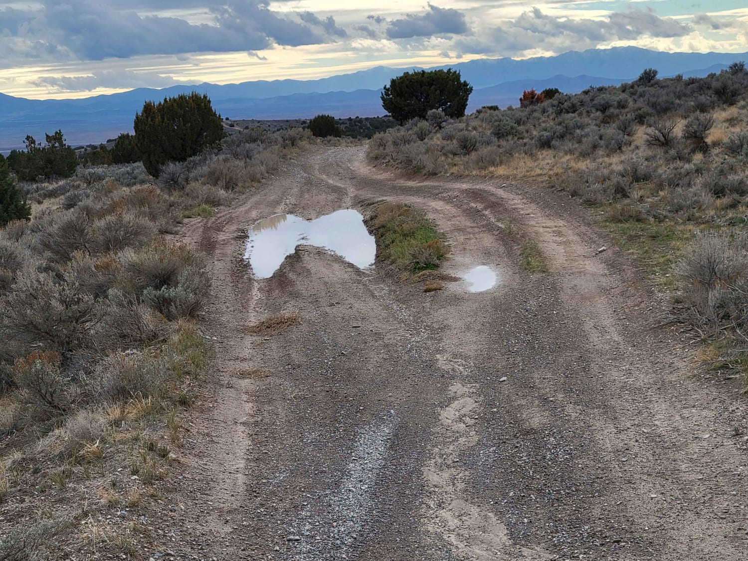
This connecting route takes you to and through a spiderweb of other trails in the area. The number of off-shoots and alternative trails seemed endless. Nothing of difficulty to note aside from possible water/mud holes on the trail during wet conditions. Most of them have little by-ways around them.
Photos of By The Way
Difficulty
This connecting route takes you to and through a spiderweb of other trails in the area. The number of off-shoots and alternative trails seemed endless. Nothing of difficulty to note aside from possible water / mud holes on trail during wet conditions. Most of them have little by-ways around them.
Status Reports
By The Way can be accessed by the following ride types:
- High-Clearance 4x4
- SxS (60")
- ATV (50")
- Dirt Bike
By The Way Map
Popular Trails


Moki Dugway - UT Highway 261
The onX Offroad Difference
onX Offroad combines trail photos, descriptions, difficulty ratings, width restrictions, seasonality, and more in a user-friendly interface. Available on all devices, with offline access and full compatibility with CarPlay and Android Auto. Discover what you’re missing today!