Cactus Rat
Total Miles
3.0
Technical Rating
Best Time
Spring, Summer, Fall, Winter
Trail Type
Full-Width Road
Accessible By
Trail Overview
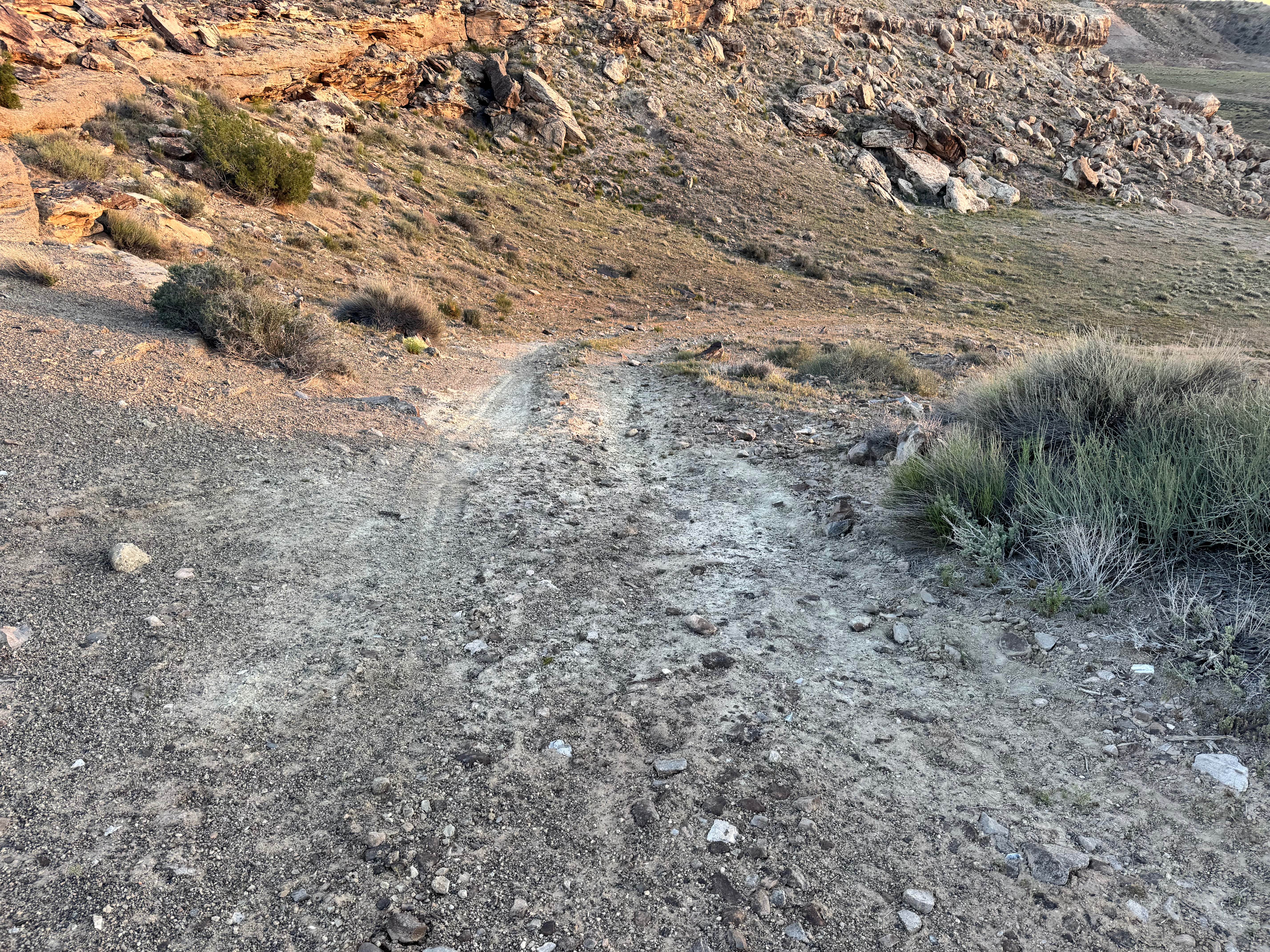
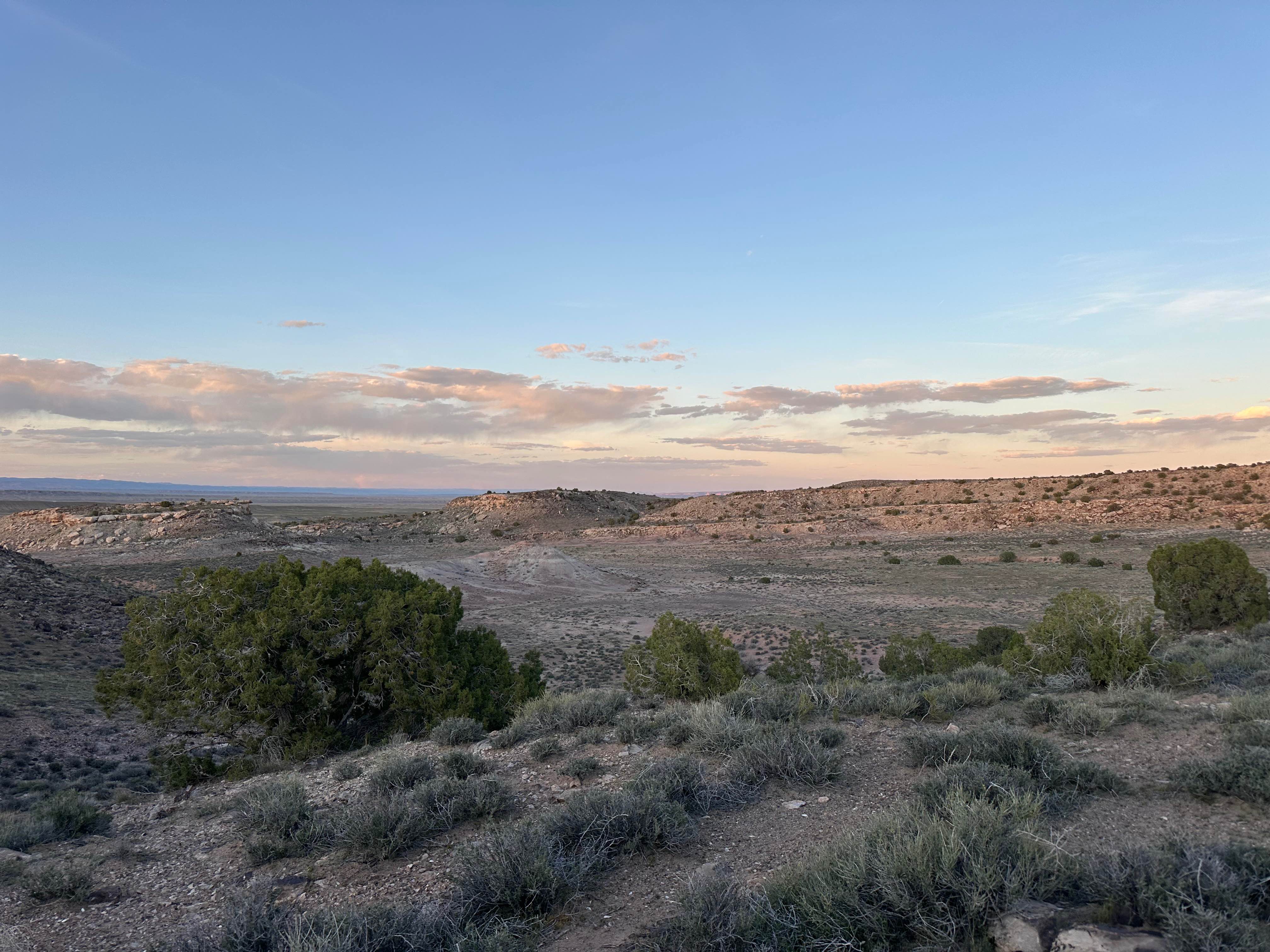
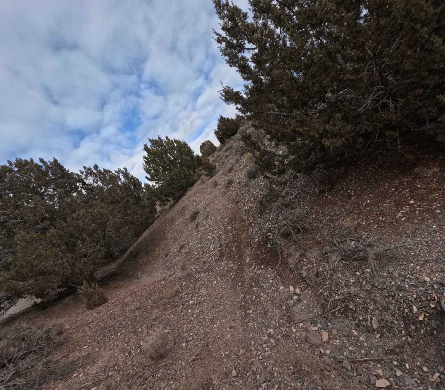
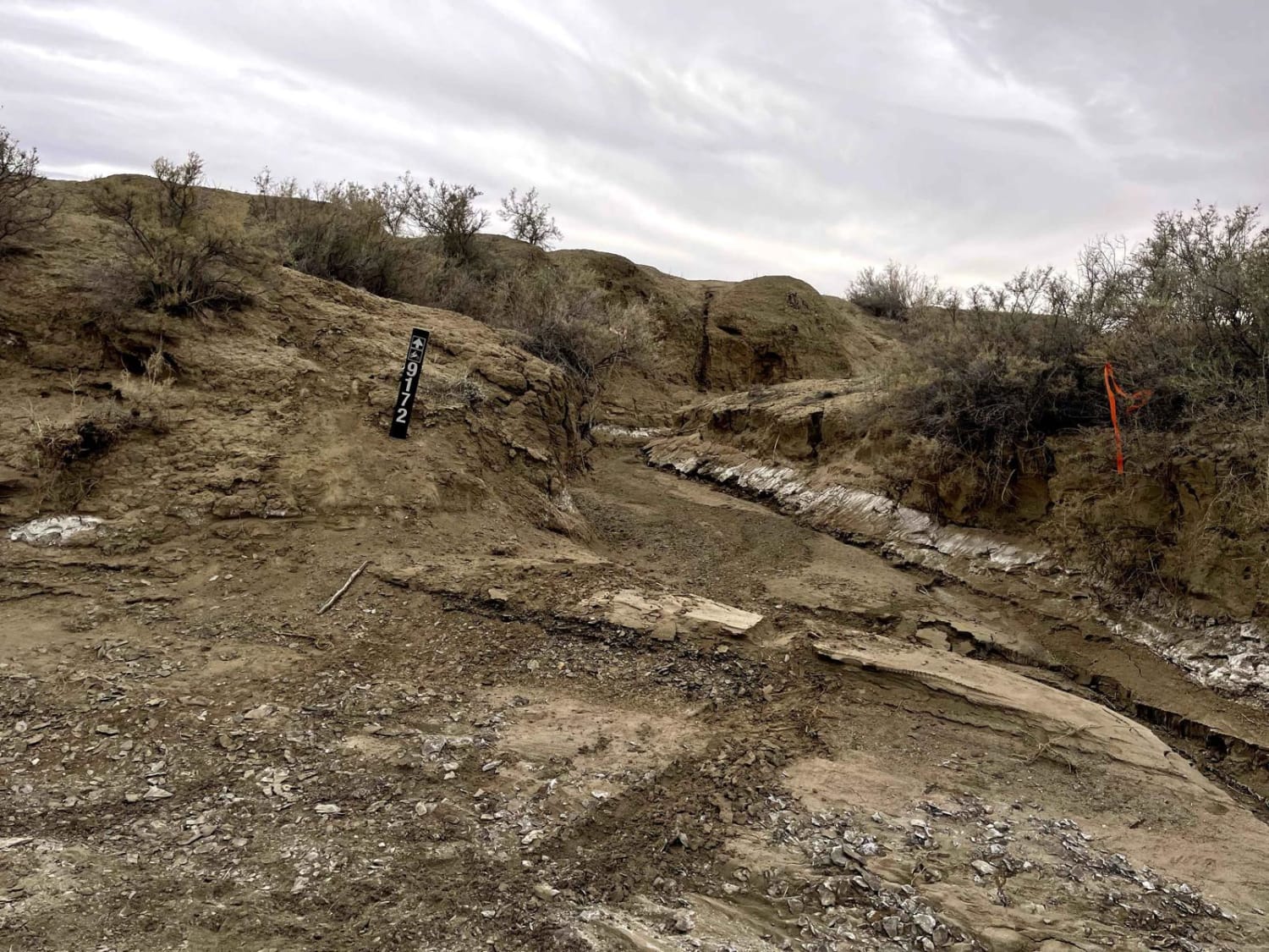
This trail begins in the classic northern Moab desert landscape, with sandy soil, scattered brush, and open views surrounding the route. The first portion feels familiar and relatively straightforward, but the terrain quickly changes as the trail begins climbing up and over the surrounding rock formations. Once you drop down into the heart of the formations, the scenery shifts dramatically and takes on an almost Mars-like appearance. The ground here is covered with loose rock, broken stone, and debris that has fallen from the cliffs over time, creating a rugged and unique driving surface unlike the softer desert floor below. Throughout the route, drivers will encounter numerous rocky sections, washouts, and uneven terrain that require slower speeds and careful tire placement. The trail eventually reaches a high point on top of one section of the formations, where the route ends and requires a turnaround. The return trip offers a second chance to enjoy the unusual scenery, dramatic colors, and striking desert geology that make this trail memorable.
Photos of Cactus Rat
Difficulty
This trail mixes sand, frequent rocky sections, washouts, and uneven climbs over rock formations. None of the obstacles sound extreme on their own, but the constant rough terrain and loose rock require attention, careful tire placement, and decent ground clearance.
History
This region is closely tied to the uranium and vanadium mining booms that shaped eastern Utah in the mid-1900s. During the Cold War, demand for uranium surged, bringing roads, claims, camps, and small industrial sites into the desert. Evidence of that era still remains today in the form of old structures, fenced or barricaded mine openings, tailings areas, and abandoned access roads. These remnants are part of the area's story; look, photograph, and respect them without disturbing anything.
Status Reports
Cactus Rat can be accessed by the following ride types:
- High-Clearance 4x4
- SUV
- SxS (60")
- ATV (50")
- Dirt Bike
Cactus Rat Map
Popular Trails
Caddy Creek/Little Valley

North Fork Manti Canyon - FR50046
Moon Walk - BLM 9172
The onX Offroad Difference
onX Offroad combines trail photos, descriptions, difficulty ratings, width restrictions, seasonality, and more in a user-friendly interface. Available on all devices, with offline access and full compatibility with CarPlay and Android Auto. Discover what you’re missing today!