Cedar Wash Road-BLM210
Total Miles
9.9
Technical Rating
Best Time
Spring, Summer, Fall, Winter
Trail Type
Full-Width Road
Accessible By
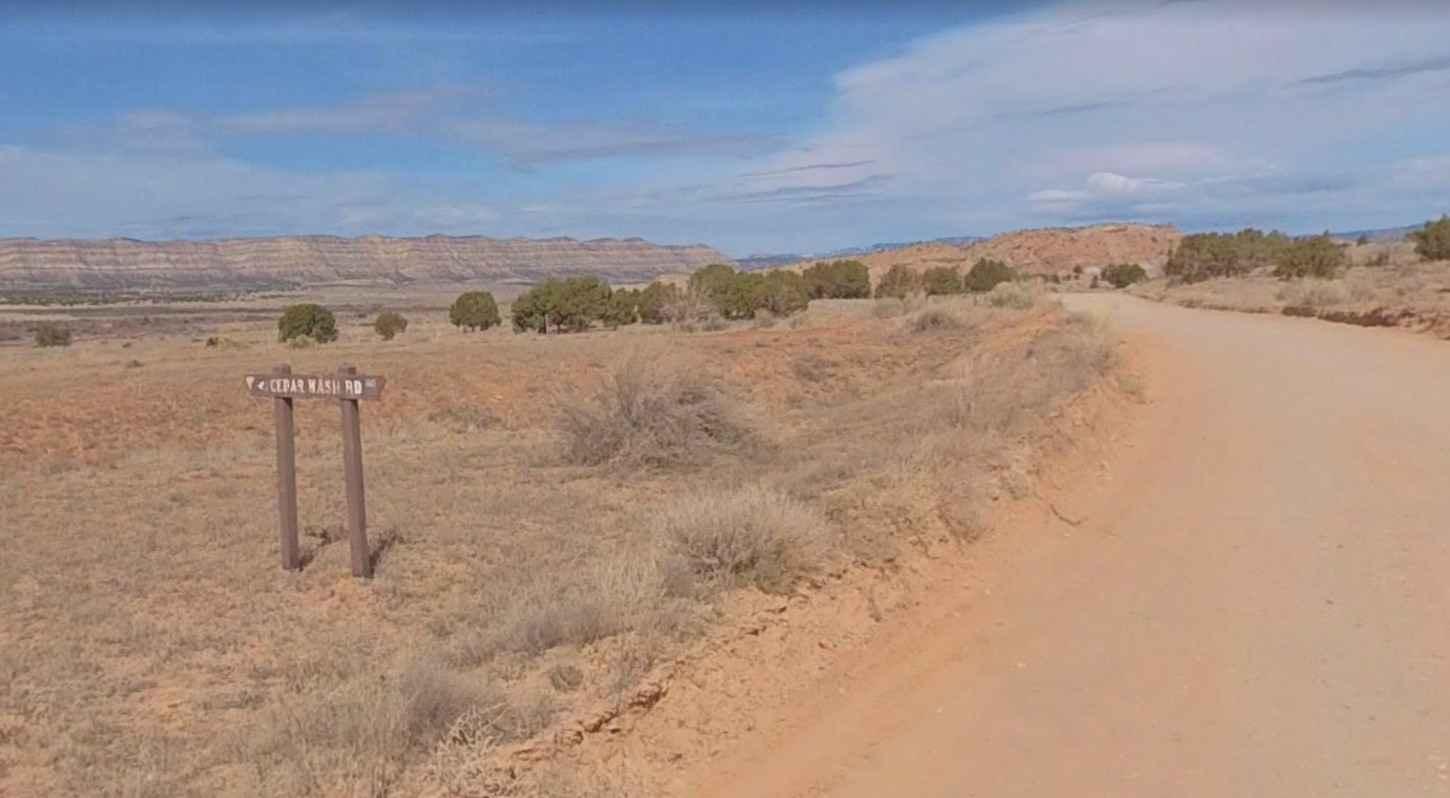
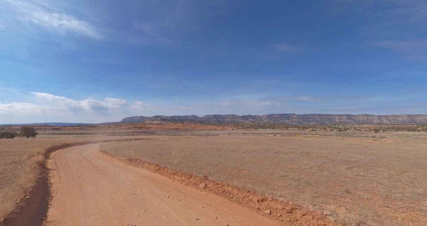
Trail Overview
Cedar Wash Road is a 9.9-mile point-to-point trail rated 2 of 10. This is a destination trail which connects Hole-in-the-Rock Road and the community of Escalante. This easy road provides access to a couple of short hikes to views of Cedar Wash Arch and Covered Wagon Natural Bridge. There is also a very interesting "wash through a cave." There is no sign at either trailhead, but there are parking areas. Cedar Wash Arch Parking: 37.66143, -111.54477, Covered Wagon Natural Bridge Parking: 37.65994, -111.56224. Cell phone service is intermittent. The nearest services are in Escalante.
Photos of Cedar Wash Road-BLM210
Difficulty
County dirt road with infrequent or light maintenance after rain or snow, high clearance light duty 4WD may be required.
Status Reports
Cedar Wash Road-BLM210 can be accessed by the following ride types:
- High-Clearance 4x4
- SUV
- SxS (60")
- ATV (50")
- Dirt Bike
Cedar Wash Road-BLM210 Map
Popular Trails

Slickrock 4

Brian Head Peak Observatory
Behind the Rocks
Cricket Mountain OHV Route 12
The onX Offroad Difference
onX Offroad combines trail photos, descriptions, difficulty ratings, width restrictions, seasonality, and more in a user-friendly interface. Available on all devices, with offline access and full compatibility with CarPlay and Android Auto. Discover what you’re missing today!