Center Creek - Flattop (BLM 30191/30190)
Total Miles
6.5
Technical Rating
Best Time
Spring, Summer, Fall
Trail Type
Full-Width Road
Accessible By
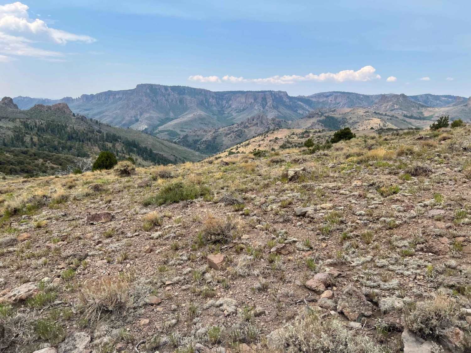
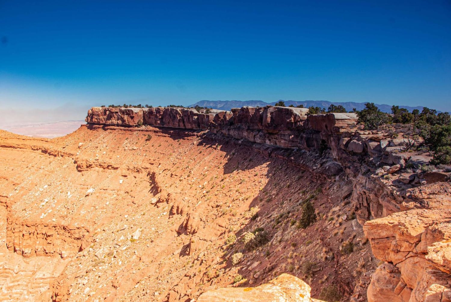
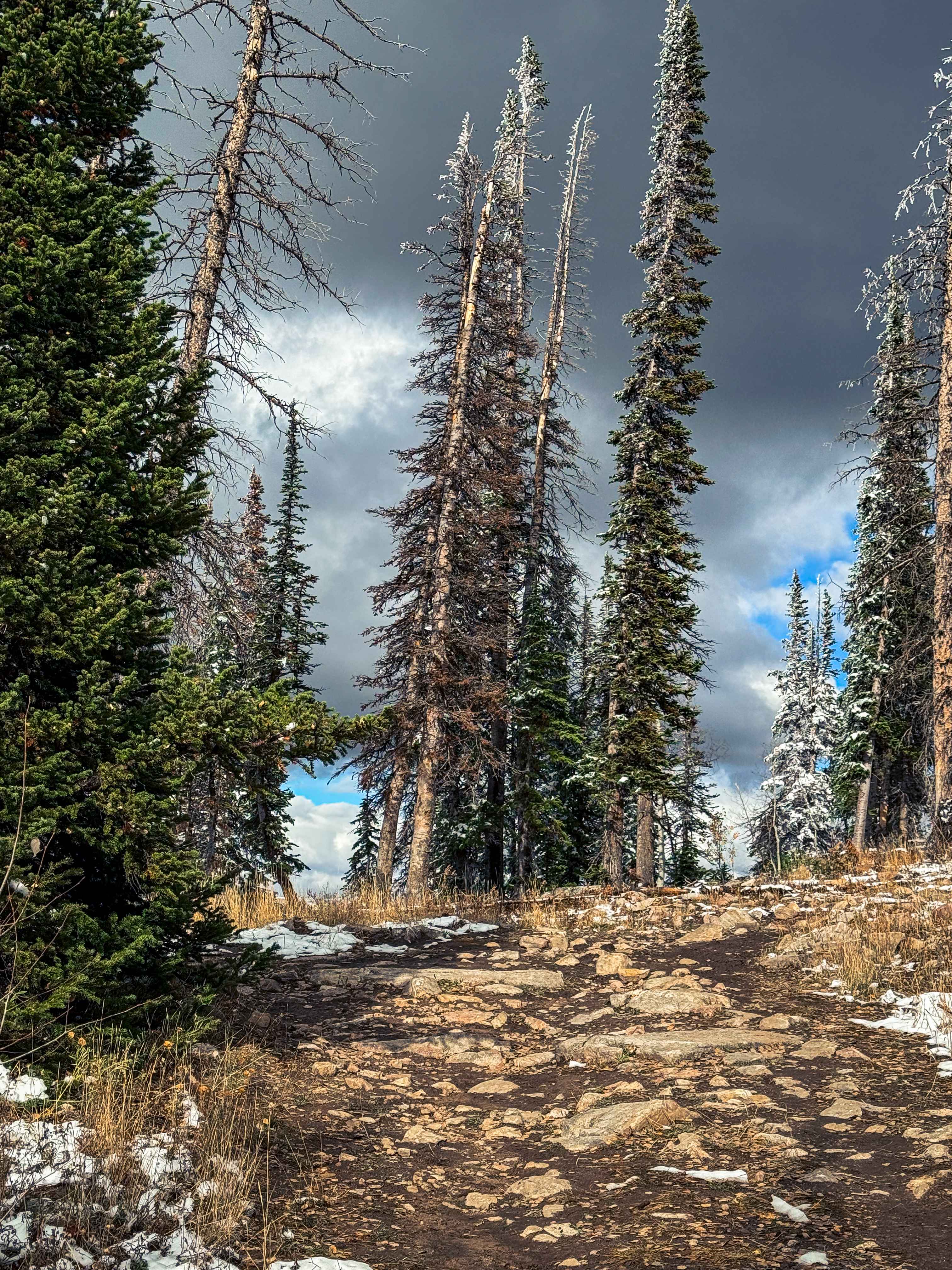
Trail Overview
This trail brings you down the mountain after your climb alone West Hunt Creek. At the top, you can proceed east to climb higher and then come down using Flattop. This is a prime hunting area, so there are many less-traveled trails to explore. At the intersection of the West Hunt Trail, there is a good lunch spot protected from the wind by trees about 200' up the trail start. Center Creek takes you down a spine where it intersects with Flattop near the bottom. Proceeding on brings you to a two-lane maintained gravel road called Toms Best. The trail, like most in this area, is rocky, with some smaller ledges to negotiate. There are beautiful views to enjoy as you descend.
Photos of Center Creek - Flattop (BLM 30191/30190)

Difficulty
The trail has rocky areas and some washes. There is nothing exceptionally difficult other than rocky climbs and descents.
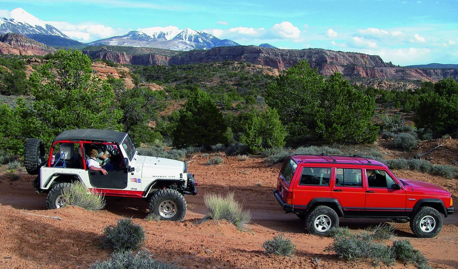
Center Creek - Flattop (BLM 30191/30190) can be accessed by the following ride types:
- High-Clearance 4x4
- SUV
- SxS (60")
- ATV (50")
- Dirt Bike
Center Creek - Flattop (BLM 30191/30190) Map
Popular Trails

White Trail
Iron Mine Approach
Steel Bender Flat Pass Route
The onX Offroad Difference
onX Offroad combines trail photos, descriptions, difficulty ratings, width restrictions, seasonality, and more in a user-friendly interface. Available on all devices, with offline access and full compatibility with CarPlay and Android Auto. Discover what you’re missing today!