Consumers
Total Miles
9.0
Technical Rating
Best Time
Summer, Fall
Trail Type
Full-Width Road
Accessible By
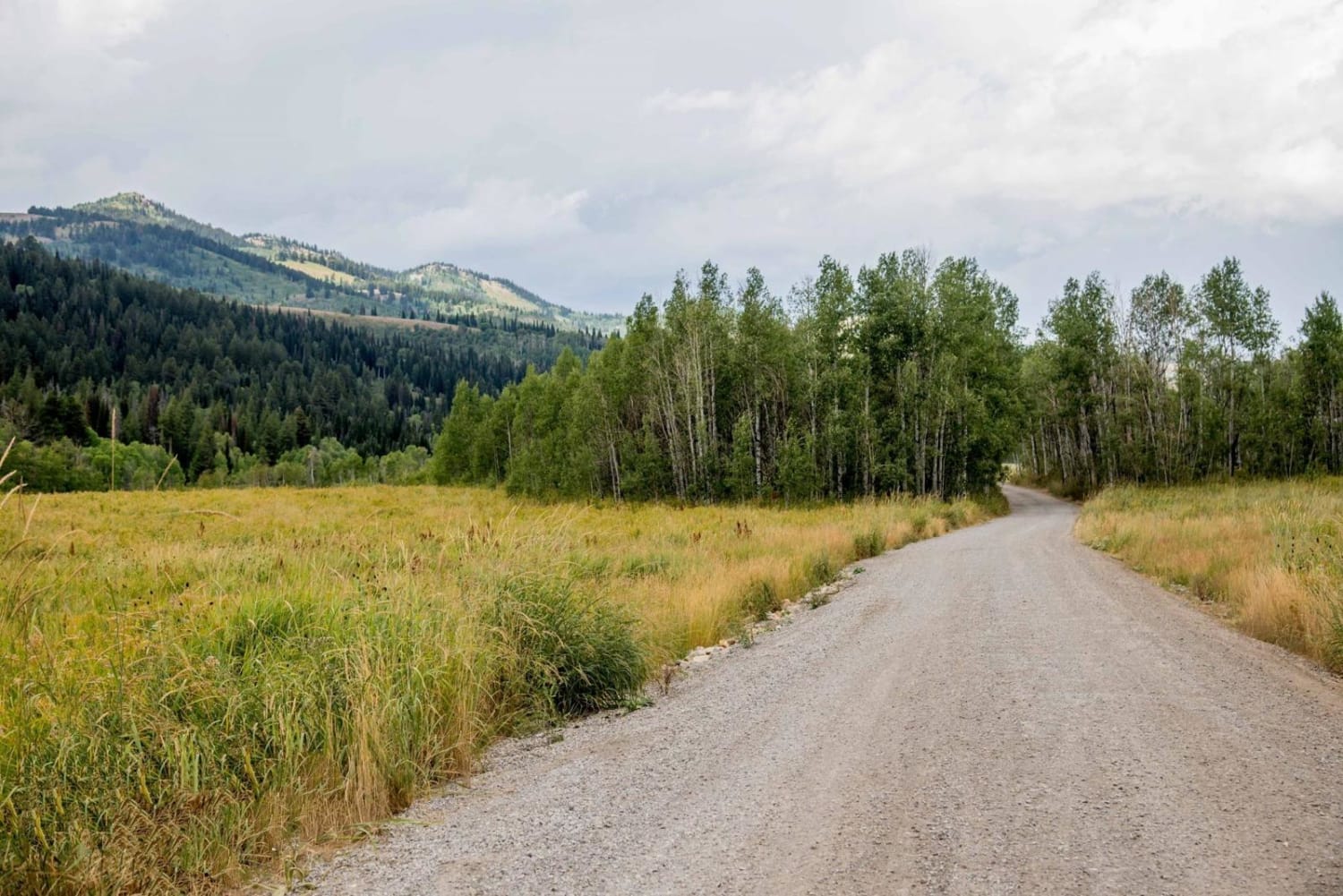
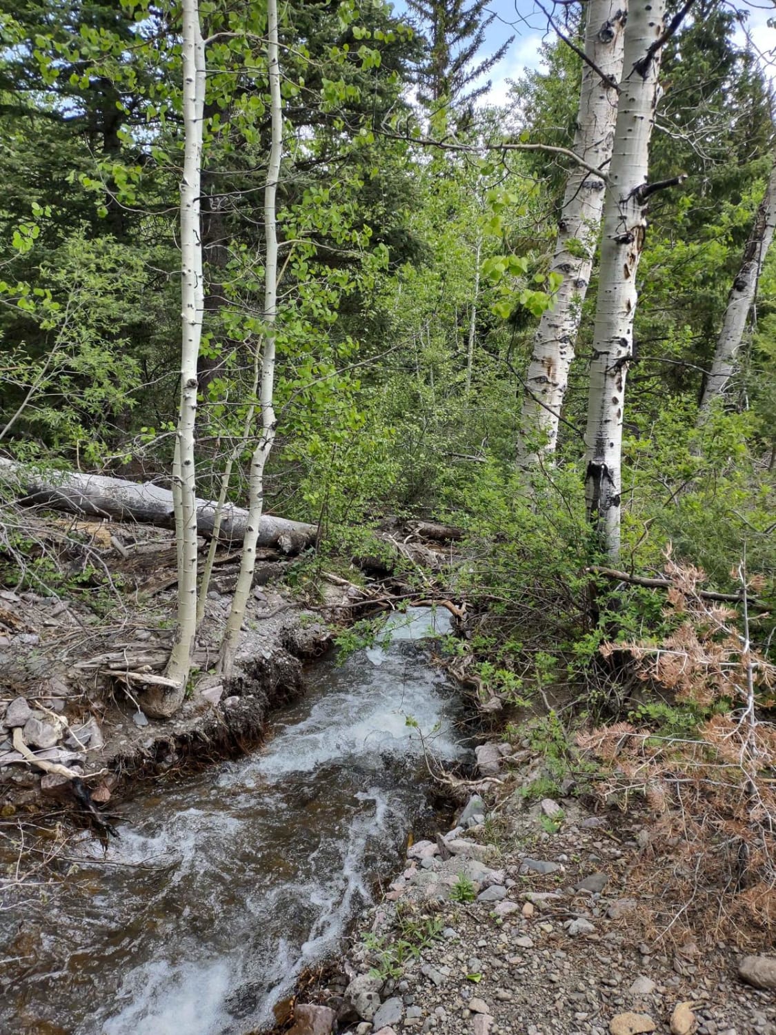
Trail Overview
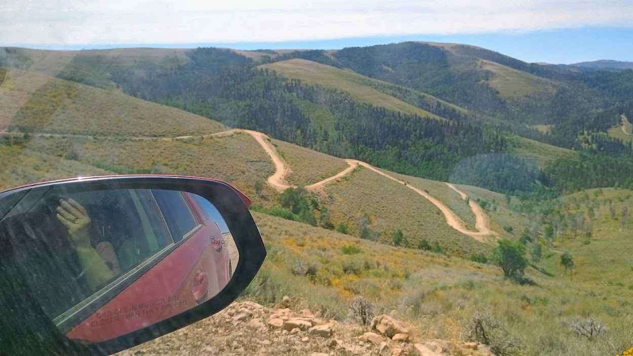
This trail starts at Consumers Road and makes its way over Beaver Road, dropping down in between Scofield Town and Clear Creek Town. The trail starts in the cedars at about 7000 feet elevation and climbs to higher elevation pines about 9500ft. The climb is steeper with loose dirt, making it more difficult for low-clearance or novice drivers. I would recommend a high clearance AWD or 4x4 for this trail, and also would not recommend traversing in bad weather. At the top of the mountain, you will be rewarded with a tunning view of the mountains, and the trail does get easier and flattens out after the first climb. Watch for cows and wildlife as it is in abundance along this route. Toward the end of the trail, you drop into Clear Creek Canyon down switchbacks that are pictured. Keep watch out for traffic as this trail can be busy, and switchbacks make it harder to see oncoming vehicles, so keep it slow. The trail ends on pavement, where you can turn left for Clear Creek or right for Scofield Reservoir.
Photos of Consumers

Difficulty
Would recommend and 4x4 or AWD with some clearance to traverse steeper inclines with loose dirt, as well as a switchback with tighter turns.
Status Reports
Consumers can be accessed by the following ride types:
- High-Clearance 4x4
- SUV
- SxS (60")
- ATV (50")
- Dirt Bike
Consumers Map
Popular Trails

Bear Hollow - FS 70440
Franklin Basin Road
Tenmile Creek Trail

Baker Hot Springs
The onX Offroad Difference
onX Offroad combines trail photos, descriptions, difficulty ratings, width restrictions, seasonality, and more in a user-friendly interface. Available on all devices, with offline access and full compatibility with CarPlay and Android Auto. Discover what you’re missing today!