3 trails found in Utah
Which "cottonwood road" are you looking for?
We found 3 off-road trails in Utah matching your search. Pick the one you're looking for below.
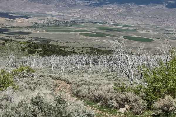
Cottonwood Road - Bullion Canyon Interconnect
This track provides a cut across between Cottonwood Road and Bullion Canyon Road. It's about 5 miles, and the south end includes a very steep, rocky, loose hill climb. The north end crosses Pine Creek to get to Bullion Canyon Road. When we rode it, the creek was too high and fast to cross, so we fou...
Learn more about Cottonwood Road - Bullion Canyon Interconnect
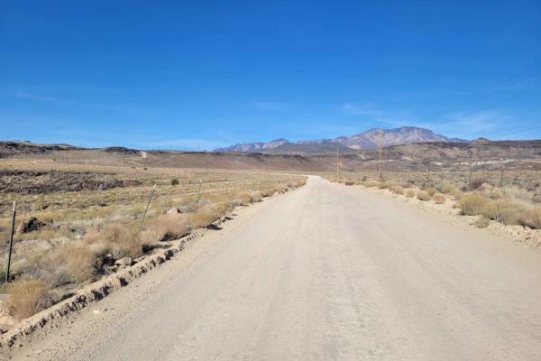
Cottonwood Road
What begins as a paved road soon turns into an easy, maintained dirt road, wide enough for vehicles to pass. There are several (hike, bike, horse) trailheads along this route. Beautiful desert scenery in every direction. Even though it's on BLM land, it's also the Red Cliffs National Conservation Ar...
Learn more about Cottonwood Road
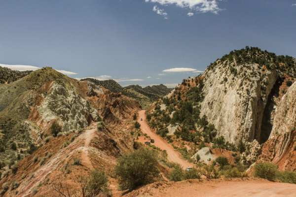
Cottonwood Canyon Road
Cottonwood Canyon Road is a relatively easy route that serves as a shortcut between Bryce Canyon National Park / Utah SR-12, and Lake Powell / US-89. It follows Cottonwood Canyon and the Paria River, and the canyon is the dividing line for two different sections of the Grand Staircase Escalante Nati...
Learn more about Cottonwood Canyon Road