Trail Overview
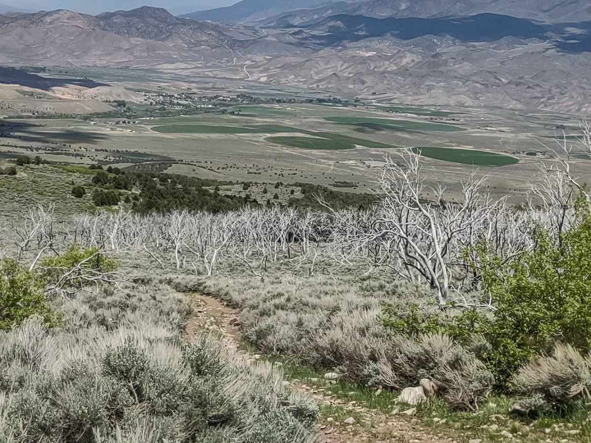
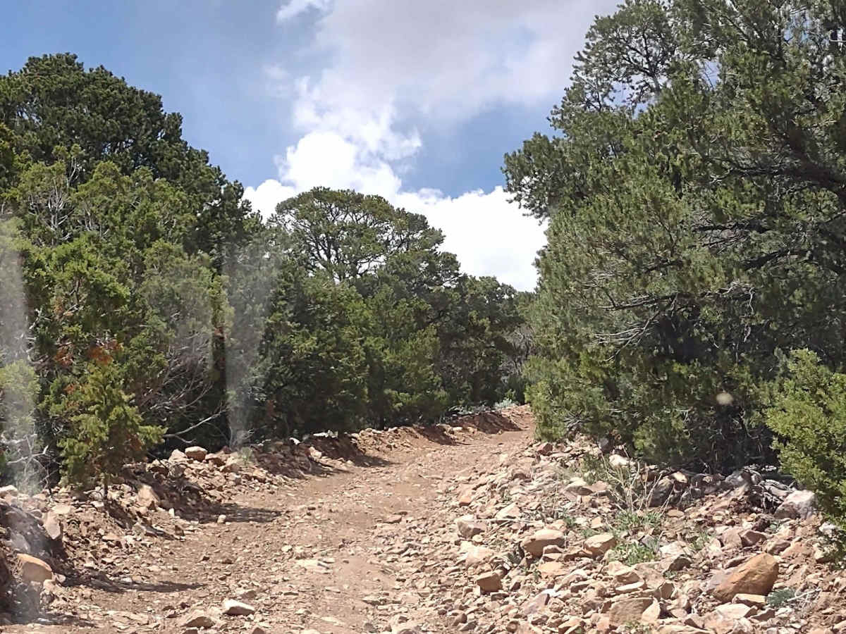
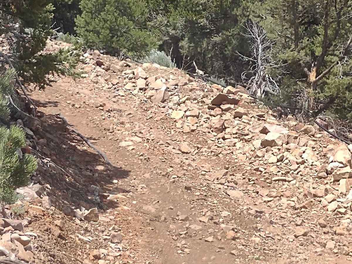
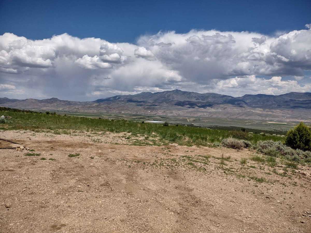
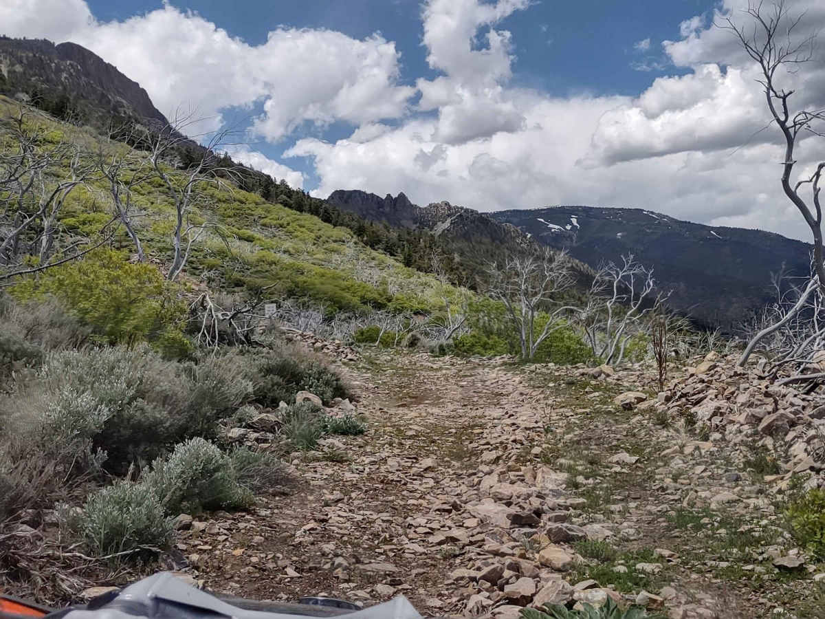
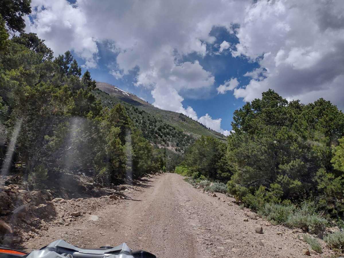
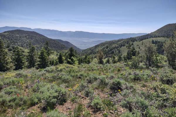
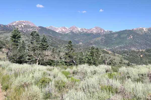
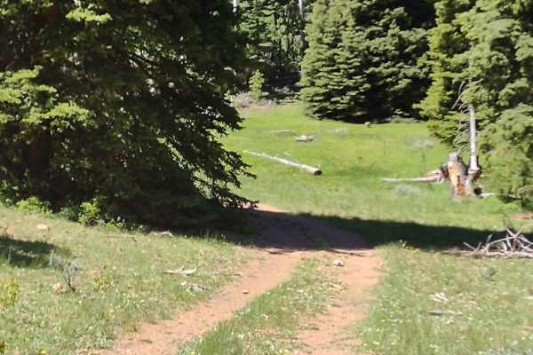
This track provides a cut across between Cottonwood Road and Bullion Canyon Road. It's about 5 miles, and the south end includes a very steep, rocky, loose hill climb. The north end crosses Pine Creek to get to Bullion Canyon Road. When we rode it, the creek was too high and fast to cross, so we found an alternate route back to Marysvale, but later in the summertime and the fall, you could cross the creek easily. You gain 1223 feet of elevation, going up on a trail that's also called Marysvale Face. It has the FS number 40125 on the south end. You get up above the valley floor to an elevation that provides a beautiful view of Marysvale, the Sevier River, and some of the farms and ranches in the valley. On the north end of the trail, you will have some muddy trails in the springtime as the runoff flows down from Horse Heaven Peak to the west. And the northern end of the trail is covered with scrub oak and sagebrush. In February of 2023, Utah began enforcement of a new law, which requires an online education course for all off-roaders. The free course is available online. Google "Utah OHV Education Course," and the free test will pop up. It's an easy test that will only take 15-30 minutes, and it's required for all off-roaders, Jeeps, SXSs, dirt bikes, and ATVs. Kids under the age of 18 will have to take the Youth Education Test at the same site. After completing the test, print out the certificate to carry with you which shows you completed the course. We have taken it, and it's really no big deal. Good reminders about trail etiquette and trail preservation. If you're looking to avoid the pavement, this is a good option.
Difficulty
One hill climb is very steep, with loose rocks and dirt. There is a water crossing (Pine Creek) on the north end. In the springtime, it can be deep and fast. There are areas of erosion and runoff, some muddy parts of the trail in the springtime.