BLM Route 107
Total Miles
12.6
Technical Rating
Best Time
Summer, Fall, Spring
Trail Type
Full-Width Road
Accessible By
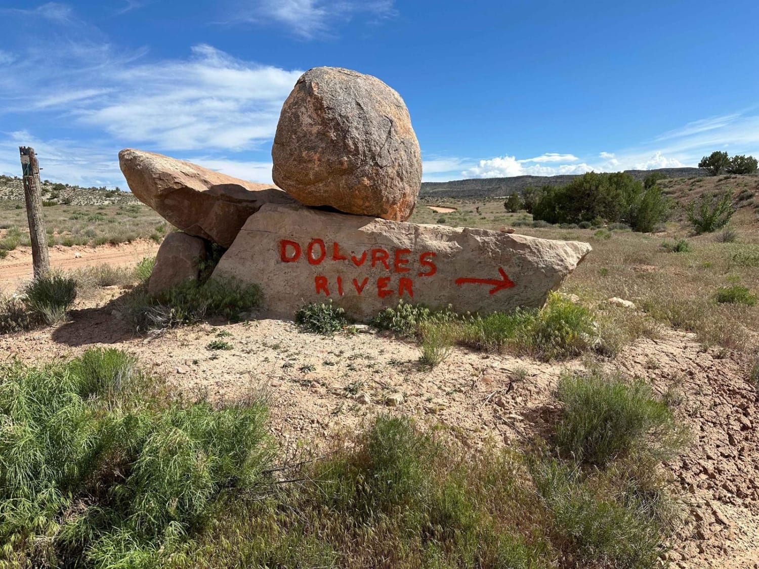
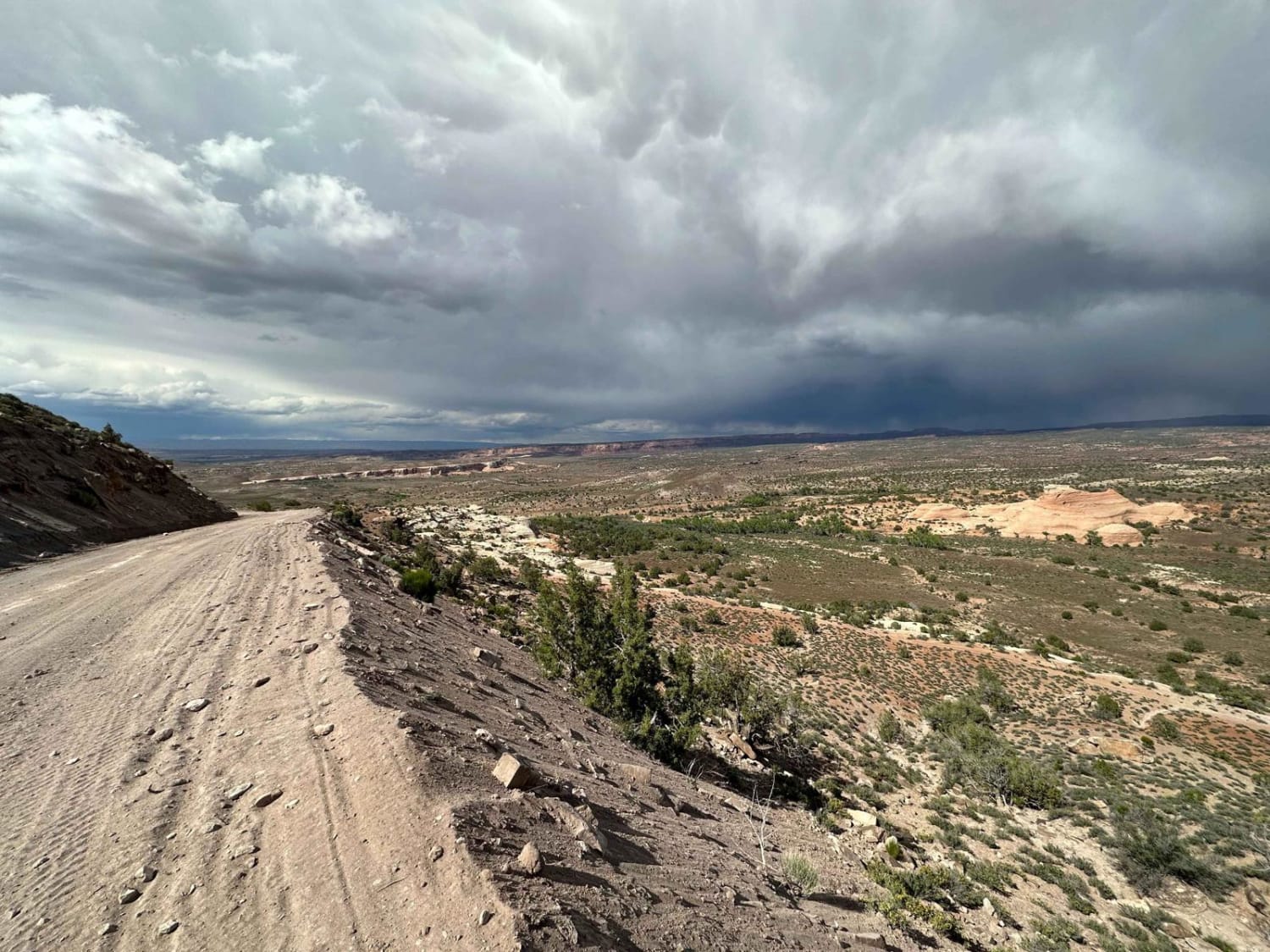
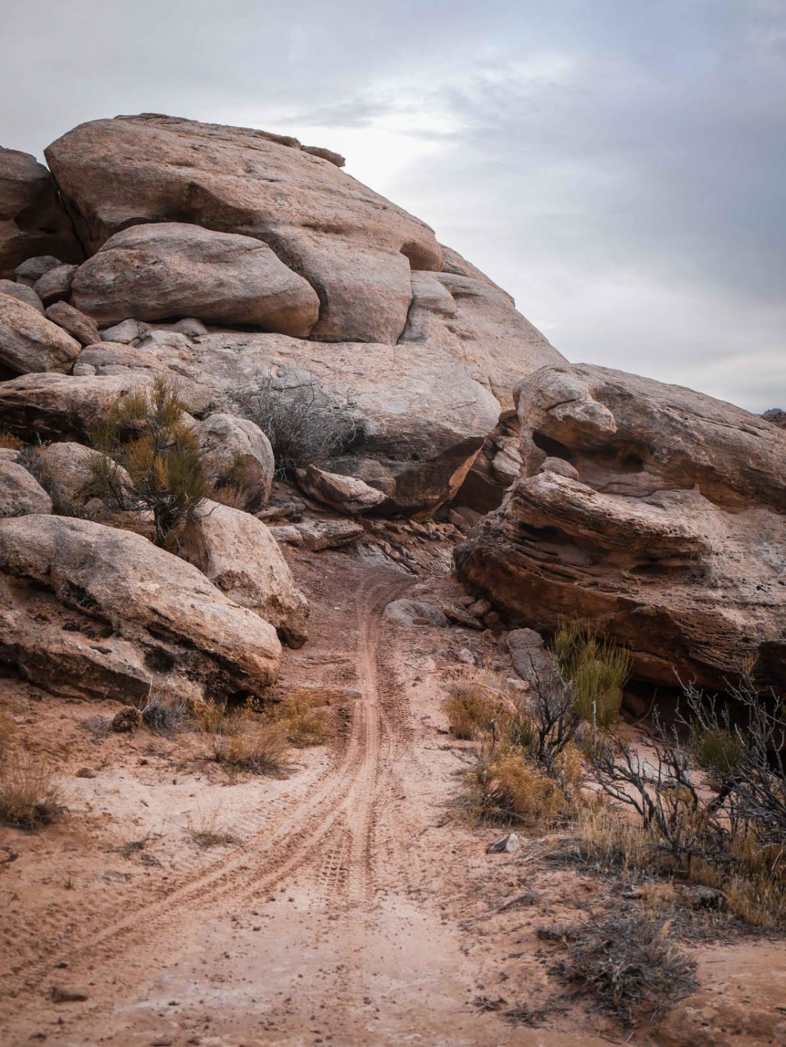
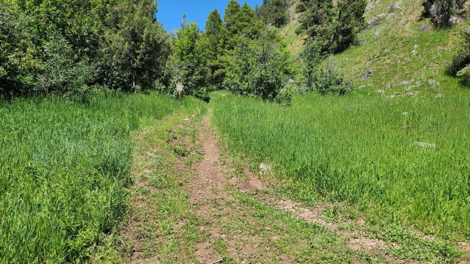
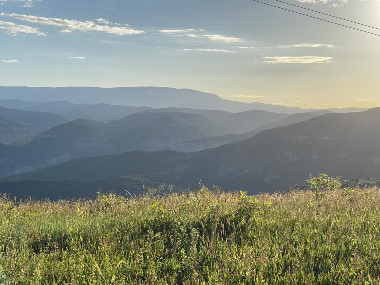
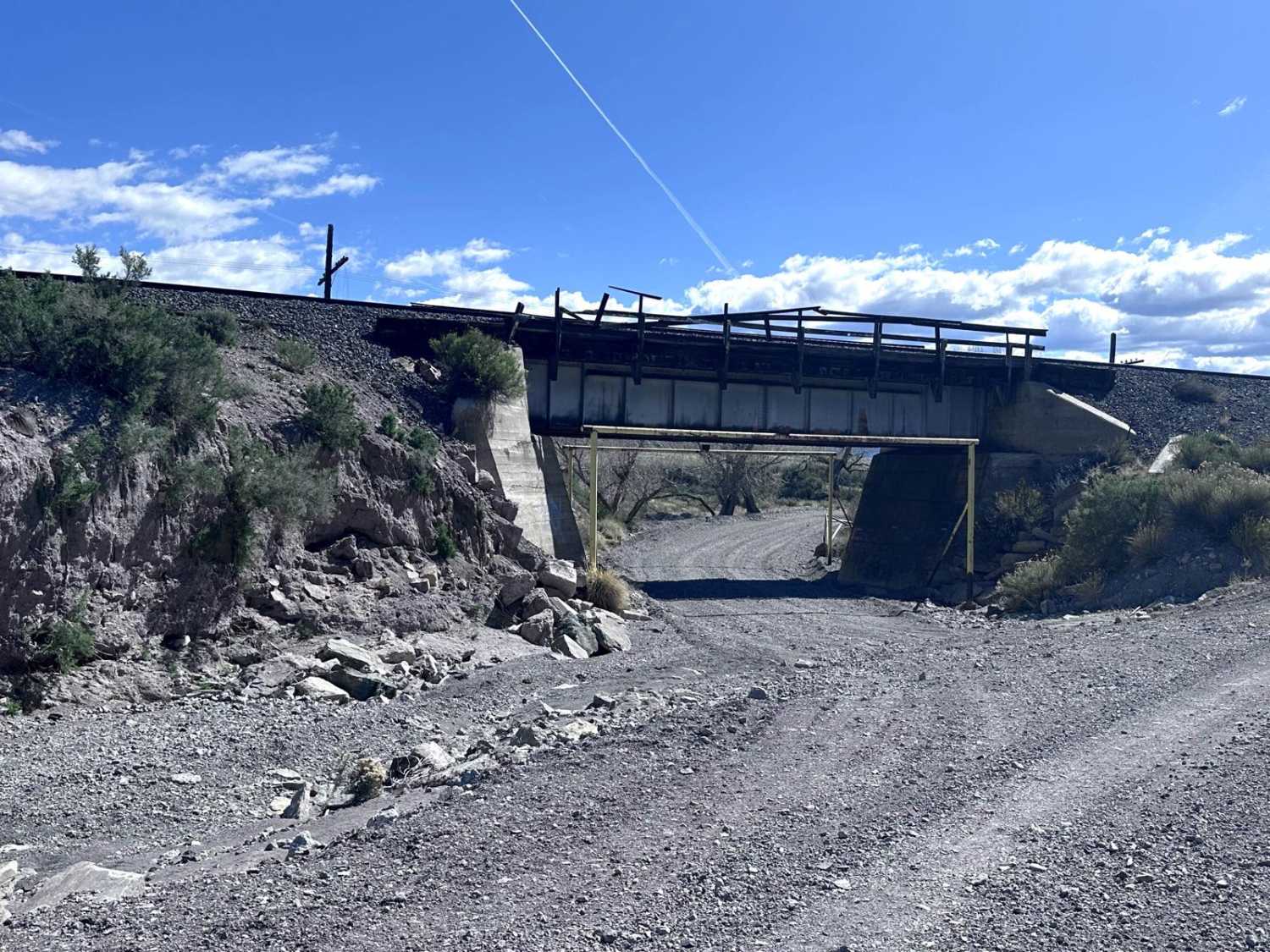
Trail Overview
Enjoy a scenic and easy journey on this trail as you traverse between Buckhorn and Hotel Mesa, with stunning views all around. However, keep in mind that while the north end of the trail is very easy with little to no obstacles, the southern end near the Dolores River may be prone to flooding during high water levels. As you approach the end of the trail near BLM Route 105, you'll encounter a river crossing that requires a high-clearance 4x4 vehicle. It's important to attempt this crossing only when the river water levels are low, to ensure a safe and successful journey.
Photos of BLM Route 107
Difficulty
Although the majority of this trail is easy, the river crossing should only be attempted by High Clearance 4x4s.
BLM Route 107 can be accessed by the following ride types:
- High-Clearance 4x4
- SUV
- SxS (60")
- ATV (50")
- Dirt Bike
BLM Route 107 Map
Popular Trails
Seep Hollow
Oak Ridge Trail
Mud Springs Road
The onX Offroad Difference
onX Offroad combines trail photos, descriptions, difficulty ratings, width restrictions, seasonality, and more in a user-friendly interface. Available on all devices, with offline access and full compatibility with CarPlay and Android Auto. Discover what you’re missing today!