Gunlock Campground Access
Total Miles
3.5
Technical Rating
Best Time
Spring, Fall, Winter, Summer
Trail Type
High-Clearance 4x4 Trail
Accessible By
Trail Overview
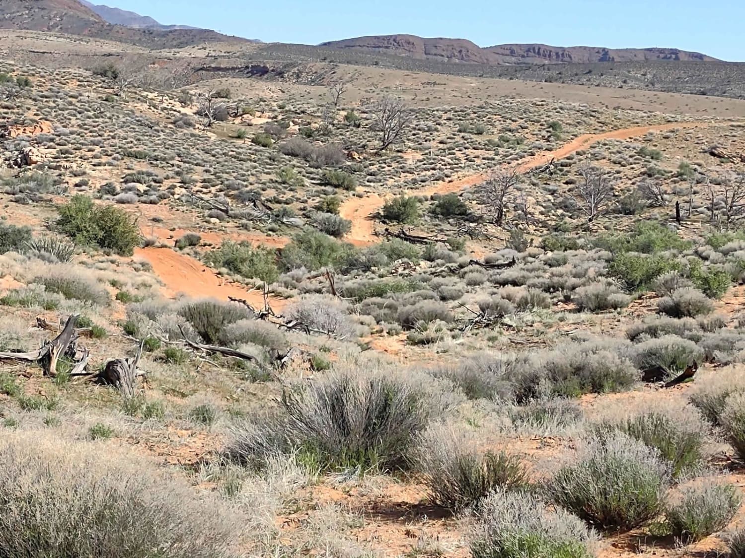
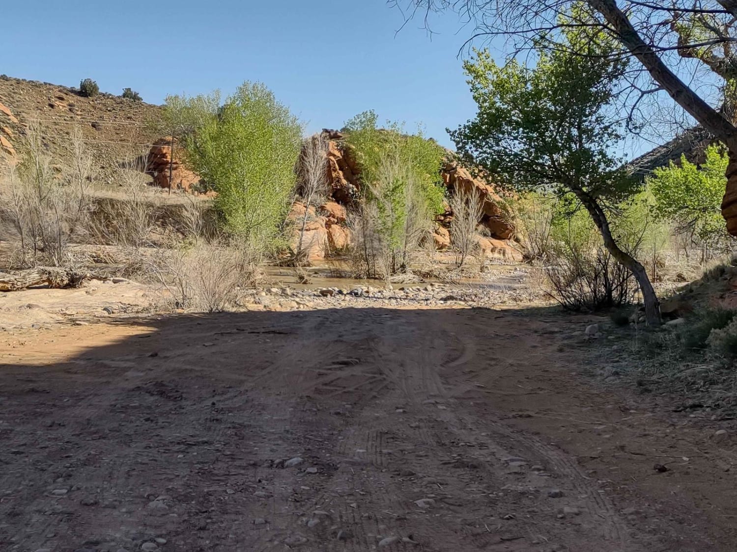
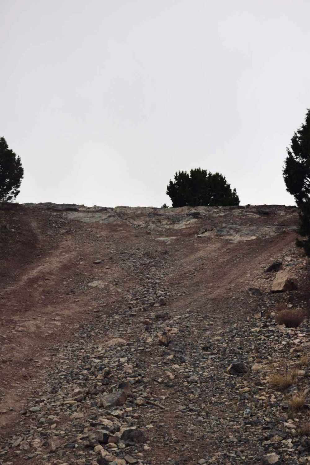
This trail gives you access to the Gunlock Campground, which has some wonderful tent sites, as well as access to the backside of Gunlock Falls away from the crowds. We crossed the Santa Clara River in April, and it was pretty deep but manageable. Water came onto the hoods of our CanAms and Razors. From the River, this trail wanders for 3.5 miles up through some fantastic landscape. Sand, rocks, hills and washes. This is open range BLM land, so there will be cattle in the area. The views of Square Top Mountain to the north and Red Mountain Wilderness to the south are fantastic. From this trail you can also access a LOT of trails around West Mountain Peak and in Doc's Pass Wilderness. We staged at a wide spot along Gunlock Road. In February of 2023 Utah began enforcement of a new law, which requires an online education course for all off-roaders. The free course is available online. Google "Utah OHV Education Course," and the free test will pop up. It's an easy test that will only take 15-30 minutes, and it's required for all off-roaders, Jeeps, SXSs, dirt bikes, ATVs. Kids under the age of 18 will have to take the Youth Education Test at the same site. After completing the test, print out the certificate to carry with you which shows you completed the course. We have taken it, and it's really no big deal. Good reminders about trail etiquette and trail preservation.
Photos of Gunlock Campground Access
Difficulty
The trail is rated as a 3, but in the spring, if the runoff is strong, the river crossing will be 3-4 feet deep.
Status Reports
Gunlock Campground Access can be accessed by the following ride types:
- High-Clearance 4x4
- SxS (60")
- ATV (50")
- Dirt Bike
Gunlock Campground Access Map
Popular Trails
Railroad Access Road

Stevens Creek South
County Road 118
Tight Tree Trail
The onX Offroad Difference
onX Offroad combines trail photos, descriptions, difficulty ratings, width restrictions, seasonality, and more in a user-friendly interface. Available on all devices, with offline access and full compatibility with CarPlay and Android Auto. Discover what you’re missing today!
