BLM721-Kane County 4150
Total Miles
3.0
Technical Rating
Best Time
Spring, Summer, Fall, Winter
Trail Type
Full-Width Road
Accessible By
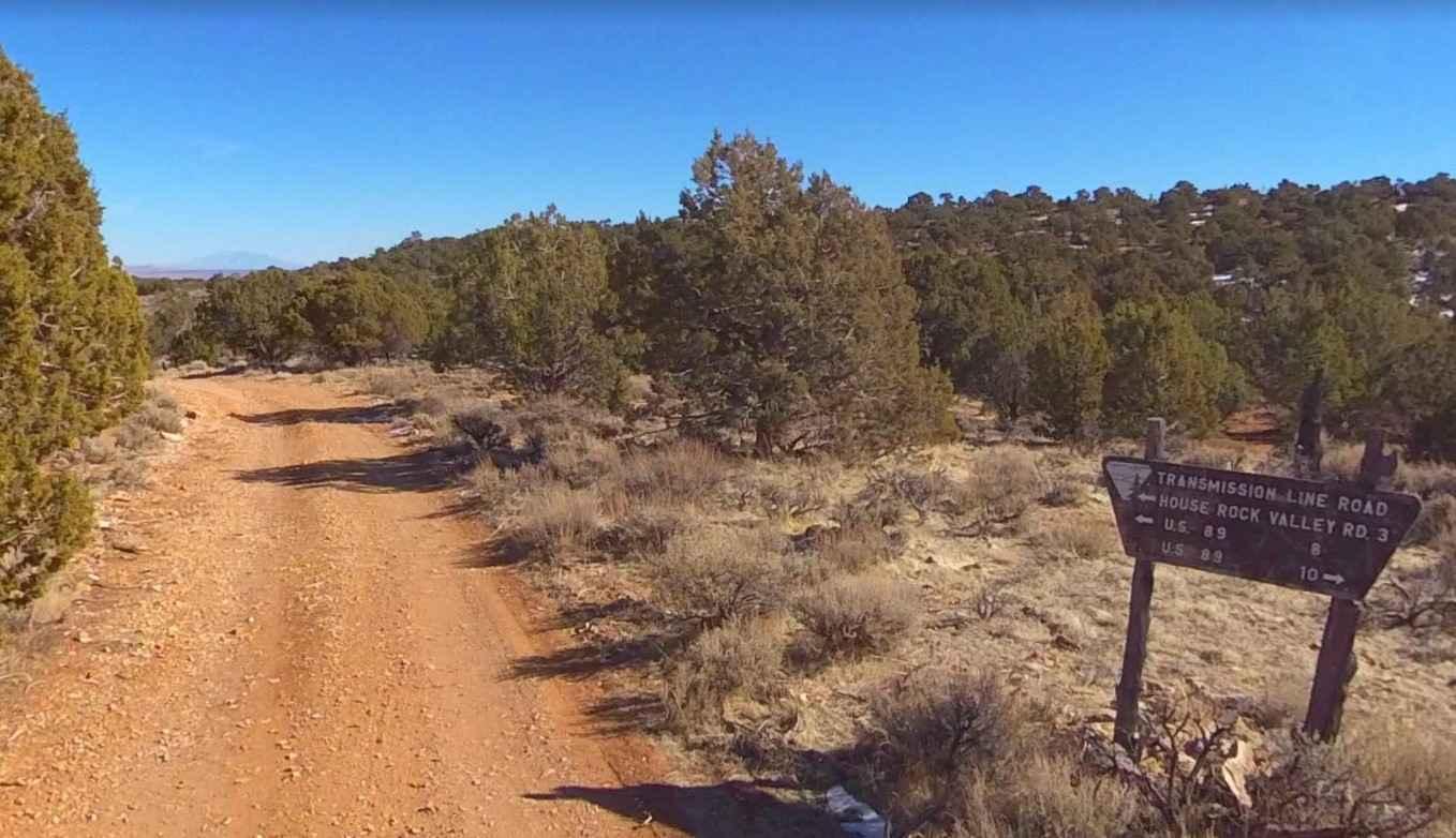
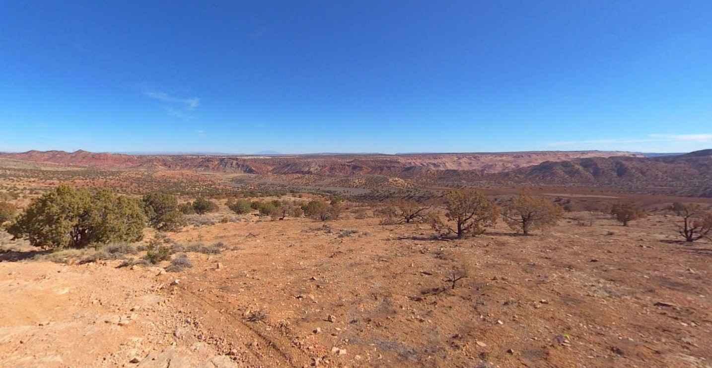
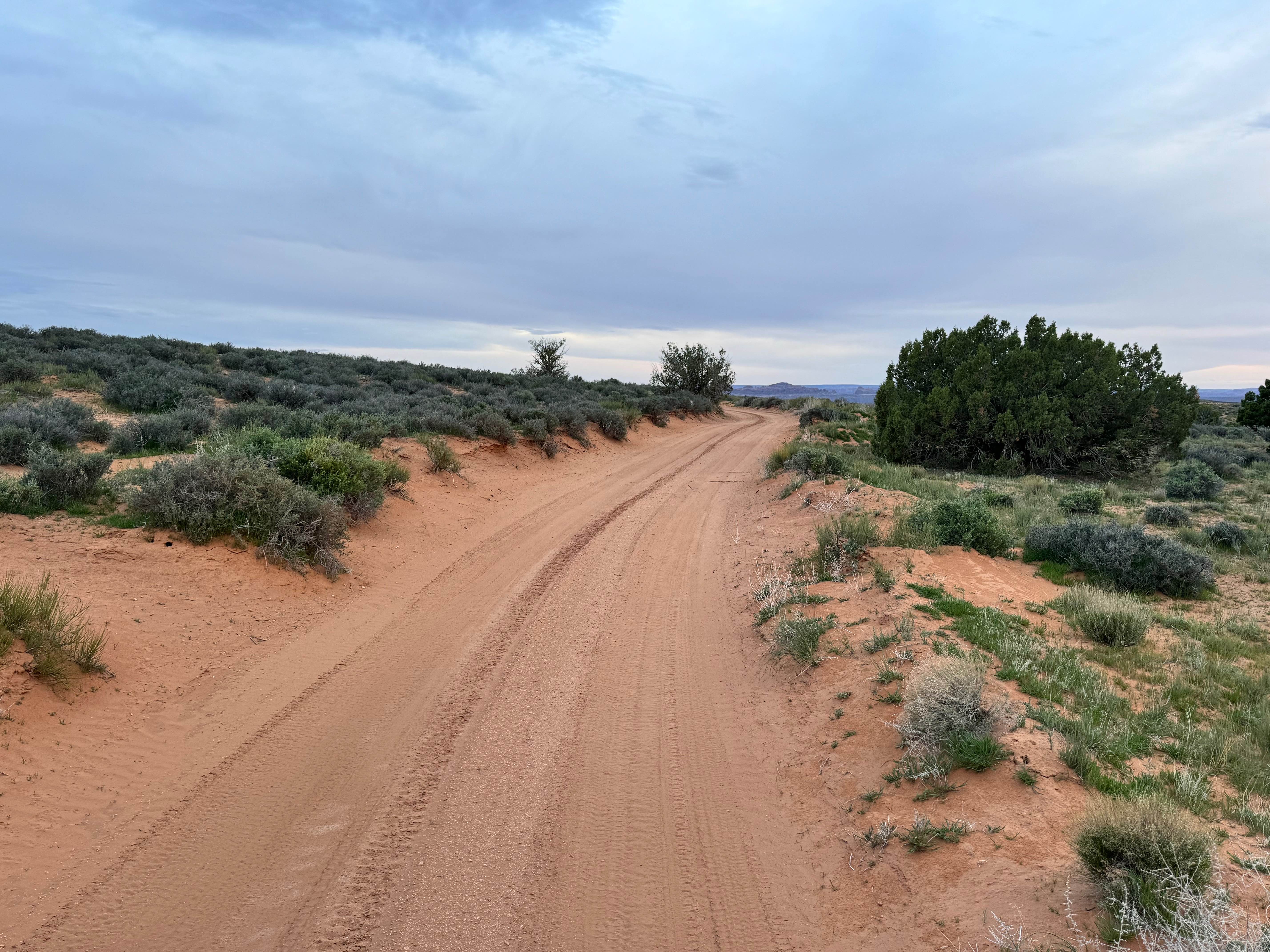
Trail Overview
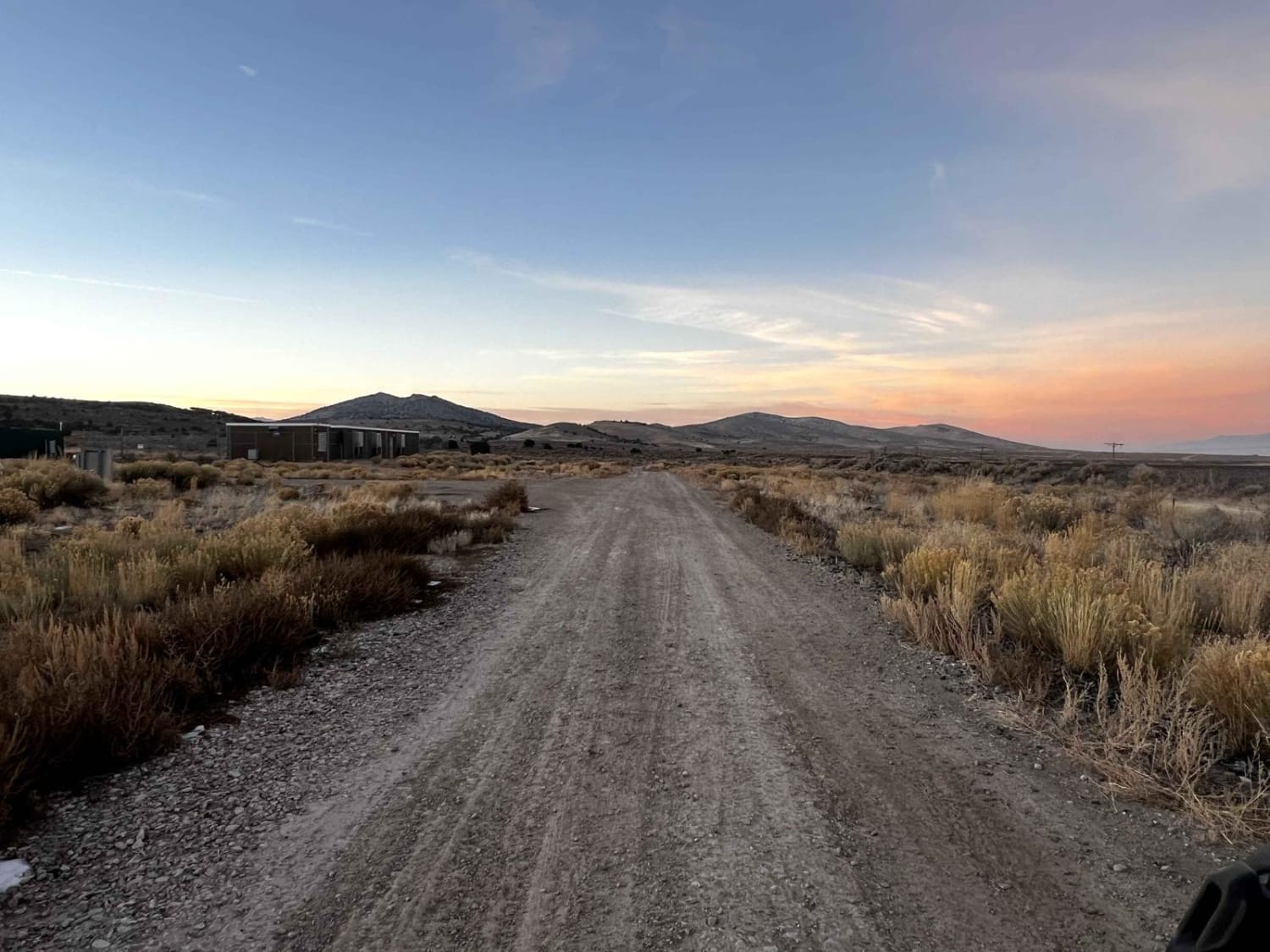
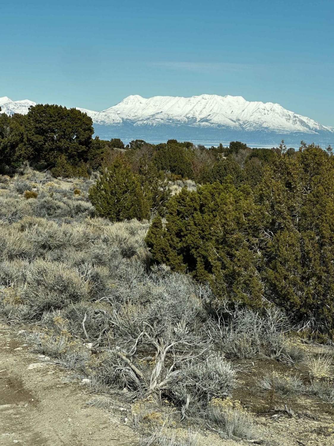
BLM721-Kane County 4150 is a 3-mile point-to-point trail that crosses the Kaibab Plateau from east to west and is rated 3 out of 10. This is a single-track road that consists mostly of sand, dirt, and crushed rock. BLM721-Kane County 4150 is an access road into the Buckskin Mountain, Water Canyon, and Wagon Hollow trail network used by ATV/UTV and off-roaders. The area is managed by the BLM and dispersed camping is allowed throughout the area. That area is covered in grassy plains, scrub brush, and juniper forests. BLM721-Kane County 4150 is one of several trails used to connect Rock House Road and Highway 89 including BLM735/KC4130, BLM735/KC4040, and BLM730/KC4080. The trail rises about 1000' from the trailhead on Rock House Road. This area is remote and is very hot in the summer and may be below-freezing in the winter. There is no cellphone service in the area and the nearest services are in Kanab approximately 40 miles west.
Photos of BLM721-Kane County 4150
Difficulty
Trail consisting of loose rocks, dirt, and sand with some slick rock surfaces, mud holes possible, no steps higher than 12". 4WD may be required, aggressive tires are a plus.
Status Reports
BLM721-Kane County 4150 can be accessed by the following ride types:
- High-Clearance 4x4
- SUV
- SxS (60")
- ATV (50")
- Dirt Bike
BLM721-Kane County 4150 Map
Popular Trails

Lawson's Ledge
Train Track Trail West
Winter Camp Ridge
Little Moab-Slant Pass
The onX Offroad Difference
onX Offroad combines trail photos, descriptions, difficulty ratings, width restrictions, seasonality, and more in a user-friendly interface. Available on all devices, with offline access and full compatibility with CarPlay and Android Auto. Discover what you’re missing today!