Off-Road Trails in Utah
Discover off-road trails in Utah
Learn more about Beaver, Utah, to "The Face"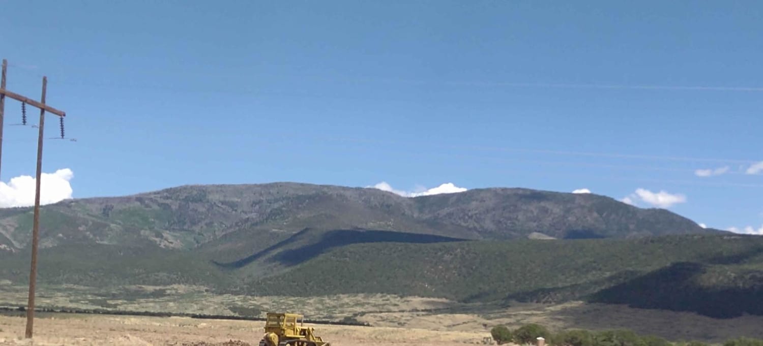
Beaver, Utah, to "The Face"
Total Miles
4.8
Tech Rating
Easy
Best Time
Fall, Summer
Learn more about Beef Basin Road Loop - San Juan County B104
Beef Basin Road Loop - San Juan County B104
Total Miles
12.0
Tech Rating
Easy
Best Time
Spring, Summer, Fall
Learn more about Beef Basin Wash - San Juan County B199
Beef Basin Wash - San Juan County B199
Total Miles
3.1
Tech Rating
Easy
Best Time
Spring, Summer, Fall
Learn more about Behind the Reef - BLM851
Behind the Reef - BLM851
Total Miles
13.2
Tech Rating
Moderate
Best Time
Spring, Summer, Fall, Winter
Learn more about Behind the Reef 50-Inch Trail
Behind the Reef 50-Inch Trail
Total Miles
7.5
Tech Rating
Moderate
Best Time
Spring, Summer, Fall
Learn more about Behind the Reef to Temple Mountain Cutoff
Behind the Reef to Temple Mountain Cutoff
Total Miles
2.0
Tech Rating
Easy
Best Time
Spring, Summer, Fall, Winter
Learn more about Behind the Rocks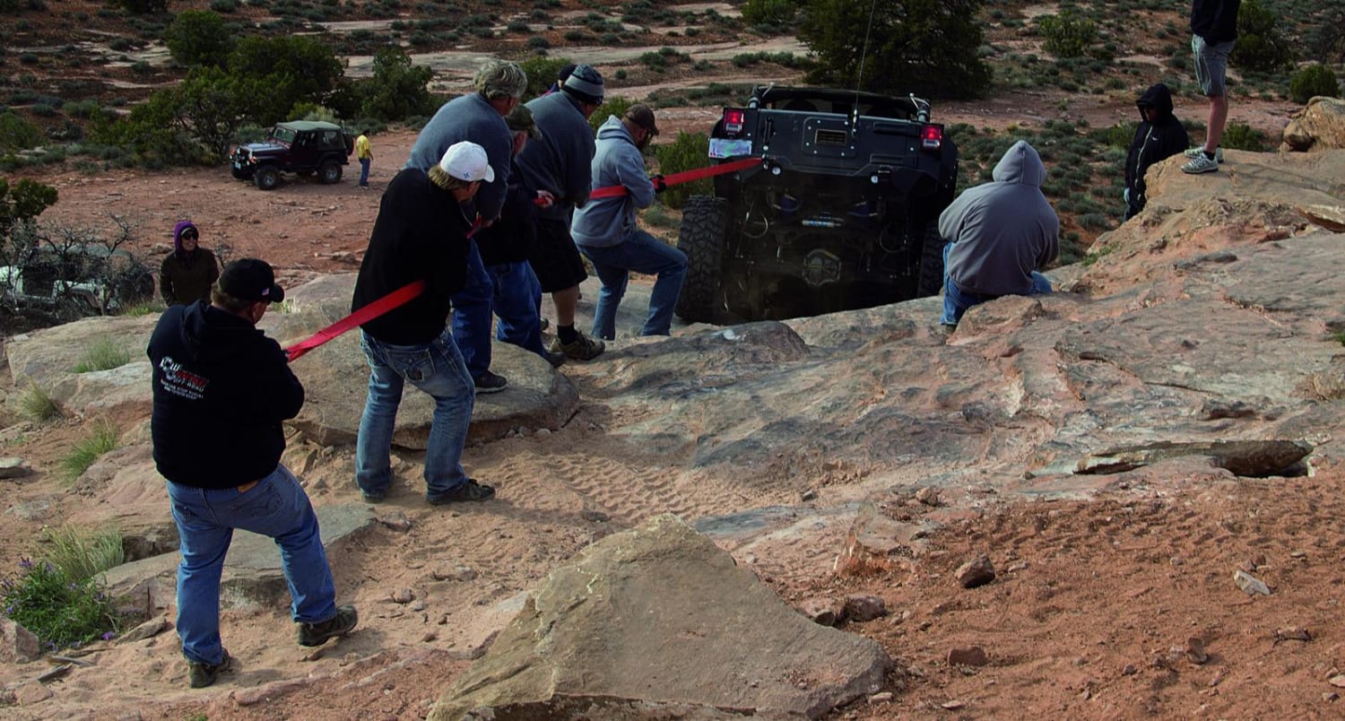
Behind the Rocks
Total Miles
23.1
Tech Rating
Difficult
Best Time
Spring, Summer, Fall
Learn more about Bellevue Flats
Bellevue Flats
Total Miles
5.9
Tech Rating
Easy
Best Time
Spring, Summer, Fall, Winter
Learn more about Bennie Creek - FS 8071
Bennie Creek - FS 8071
Total Miles
2.4
Tech Rating
Moderate
Best Time
Summer, Fall
Learn more about Big Bench Loop-FR30286
Big Bench Loop-FR30286
Total Miles
3.0
Tech Rating
Easy
Best Time
Spring, Summer, Fall, Winter
Learn more about Big Flat Long Flat (FS 40581/Paiute D-3/Trail 1A)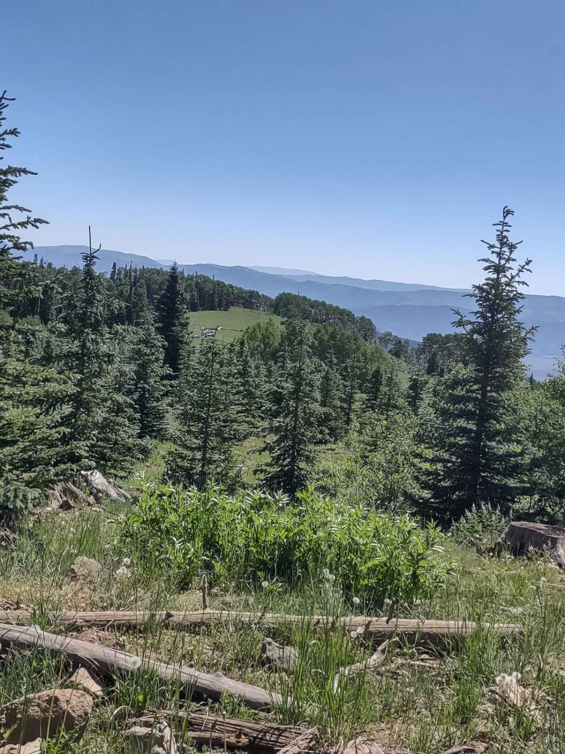
Big Flat Long Flat (FS 40581/Paiute D-3/Trail 1A)
Total Miles
4.7
Tech Rating
Easy
Best Time
Spring, Summer, Fall
Learn more about Big Lake Loop - FS 41154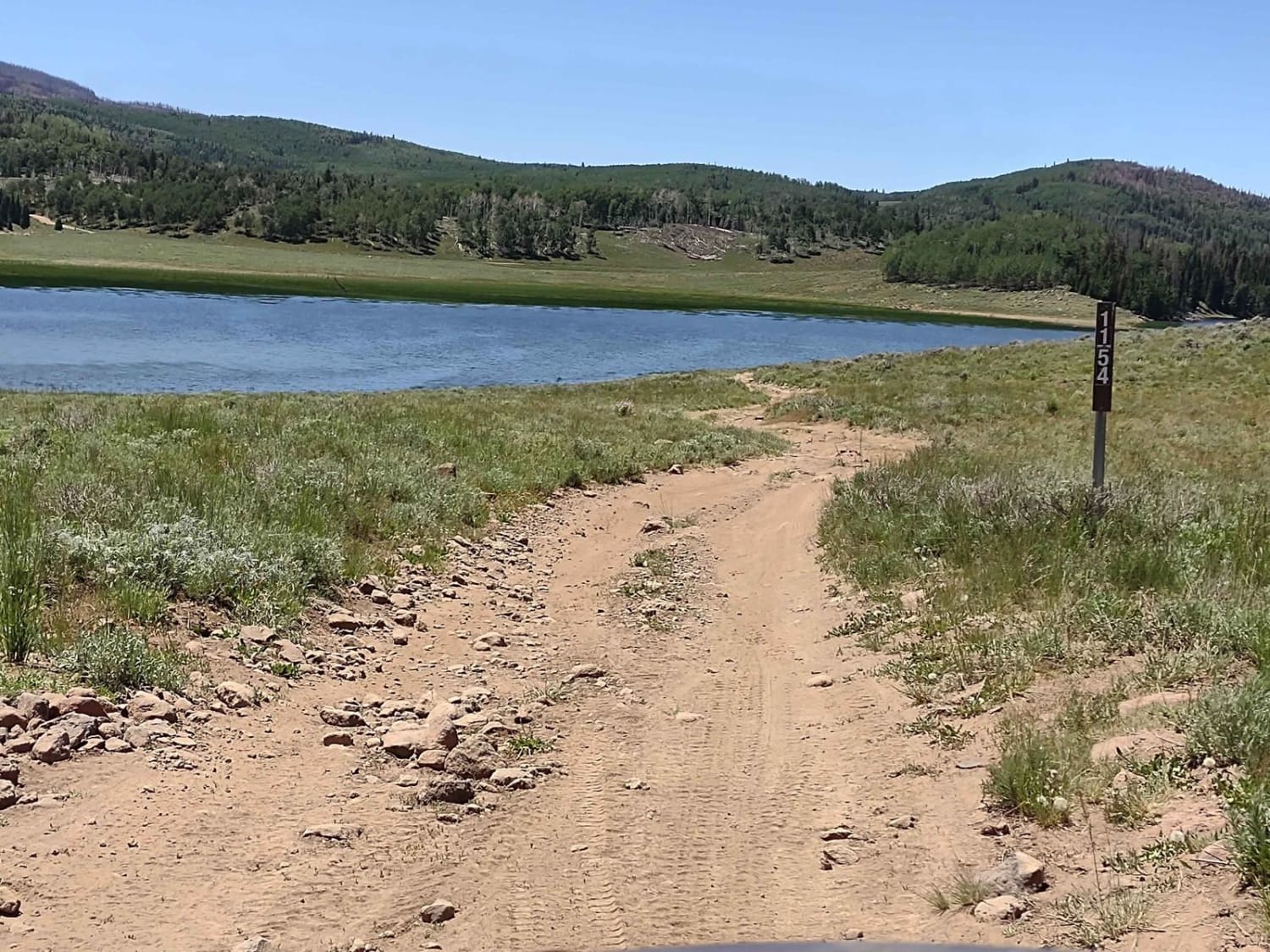
Big Lake Loop - FS 41154
Total Miles
2.3
Tech Rating
Easy
Best Time
Spring, Summer, Fall
Learn more about Big Spring Scenic Route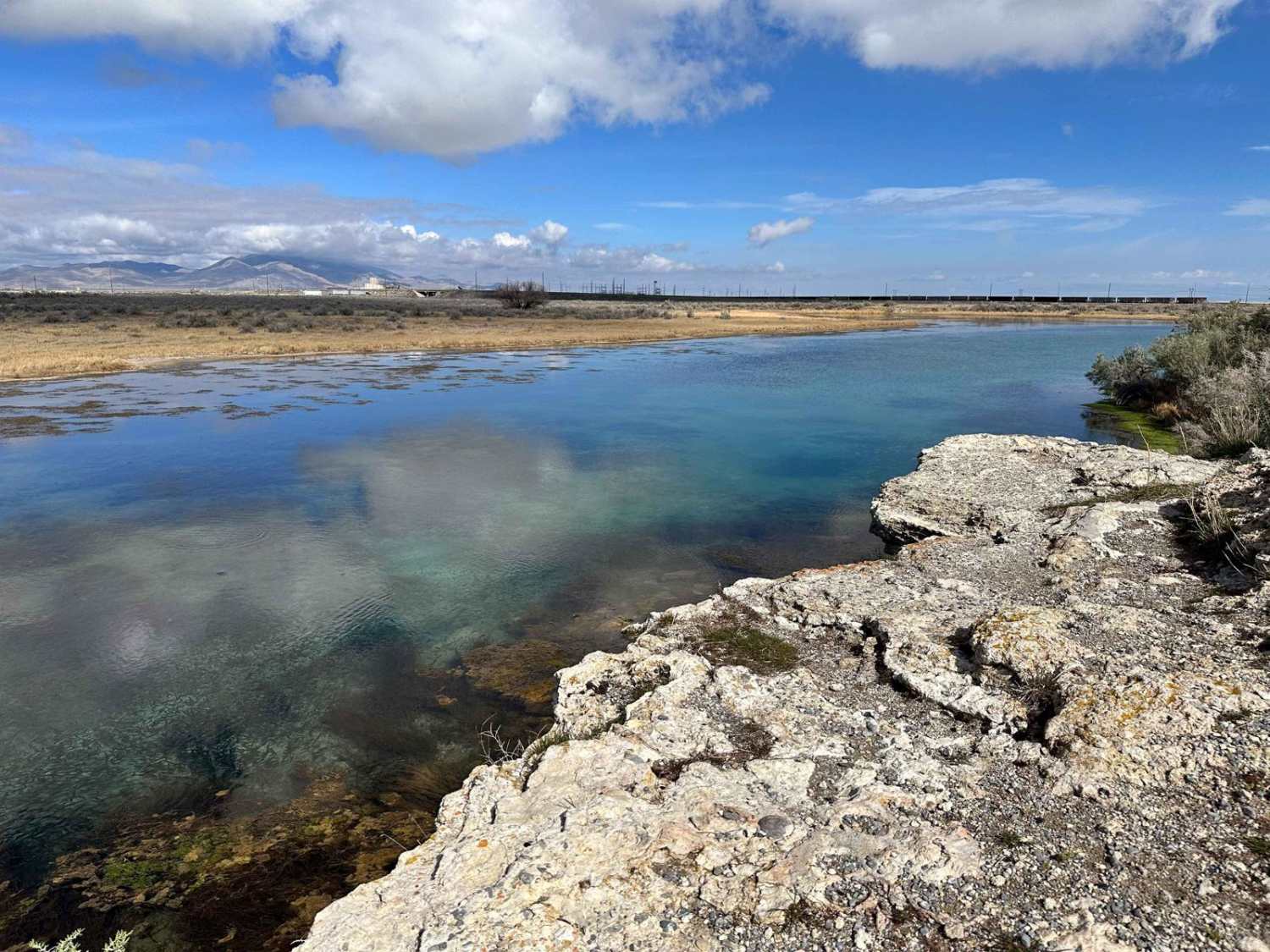
Big Spring Scenic Route
Total Miles
2.6
Tech Rating
Easy
Best Time
Fall, Summer, Spring, Winter
Learn more about Big Spring/South Big Flat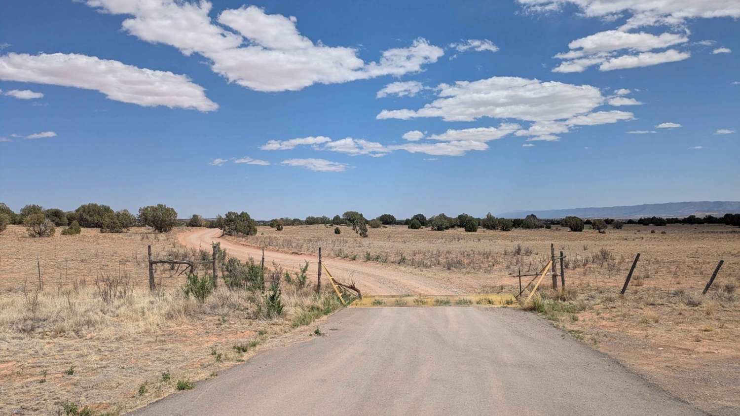
Big Spring/South Big Flat
Total Miles
3.5
Tech Rating
Easy
Best Time
Spring, Summer, Fall, Winter

ATV trails in Utah

Learn more about 14 Mile Road
14 Mile Road
Total Miles
14.7
Tech Rating
Easy
Best Time
Spring, Summer, Fall, Winter


UTV/side-by-side trails in Utah
Learn more about 14 Mile Road
14 Mile Road
Total Miles
14.7
Tech Rating
Easy
Best Time
Spring, Summer, Fall, Winter
The onX Offroad Difference
onX Offroad combines trail photos, descriptions, difficulty ratings, width restrictions, seasonality, and more in a user-friendly interface. Available on all devices, with offline access and full compatibility with CarPlay and Android Auto. Discover what you’re missing today!