Big Springs
Total Miles
3.0
Technical Rating
Best Time
Summer, Fall
Trail Type
Full-Width Road
Accessible By
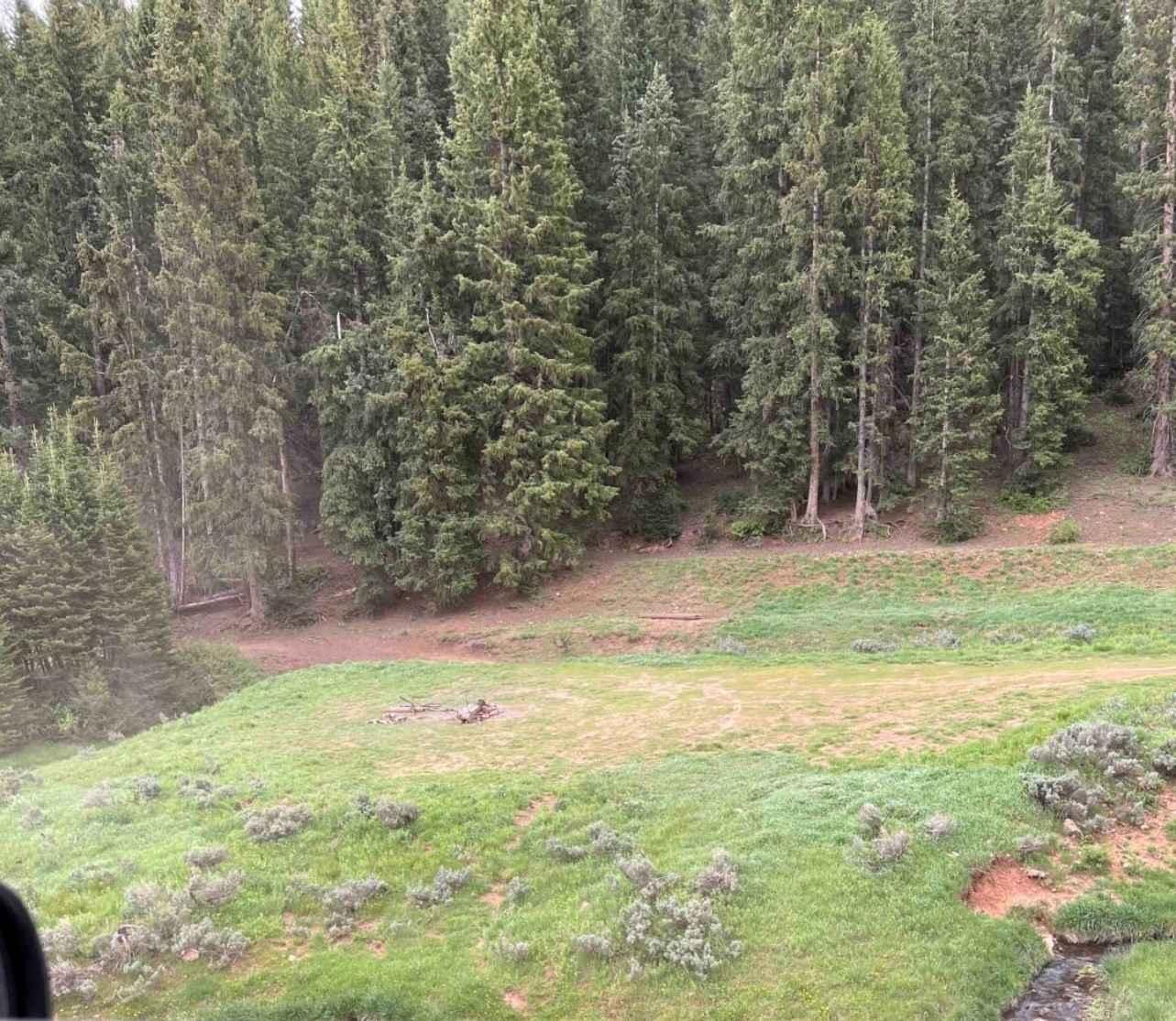
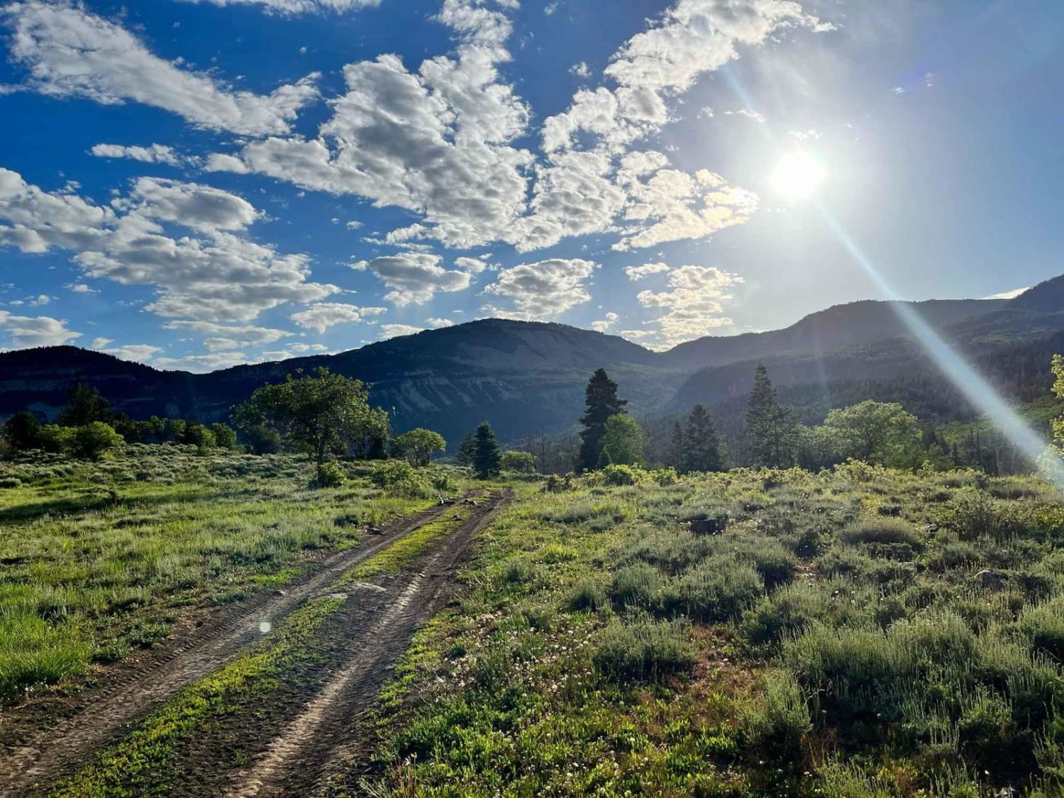
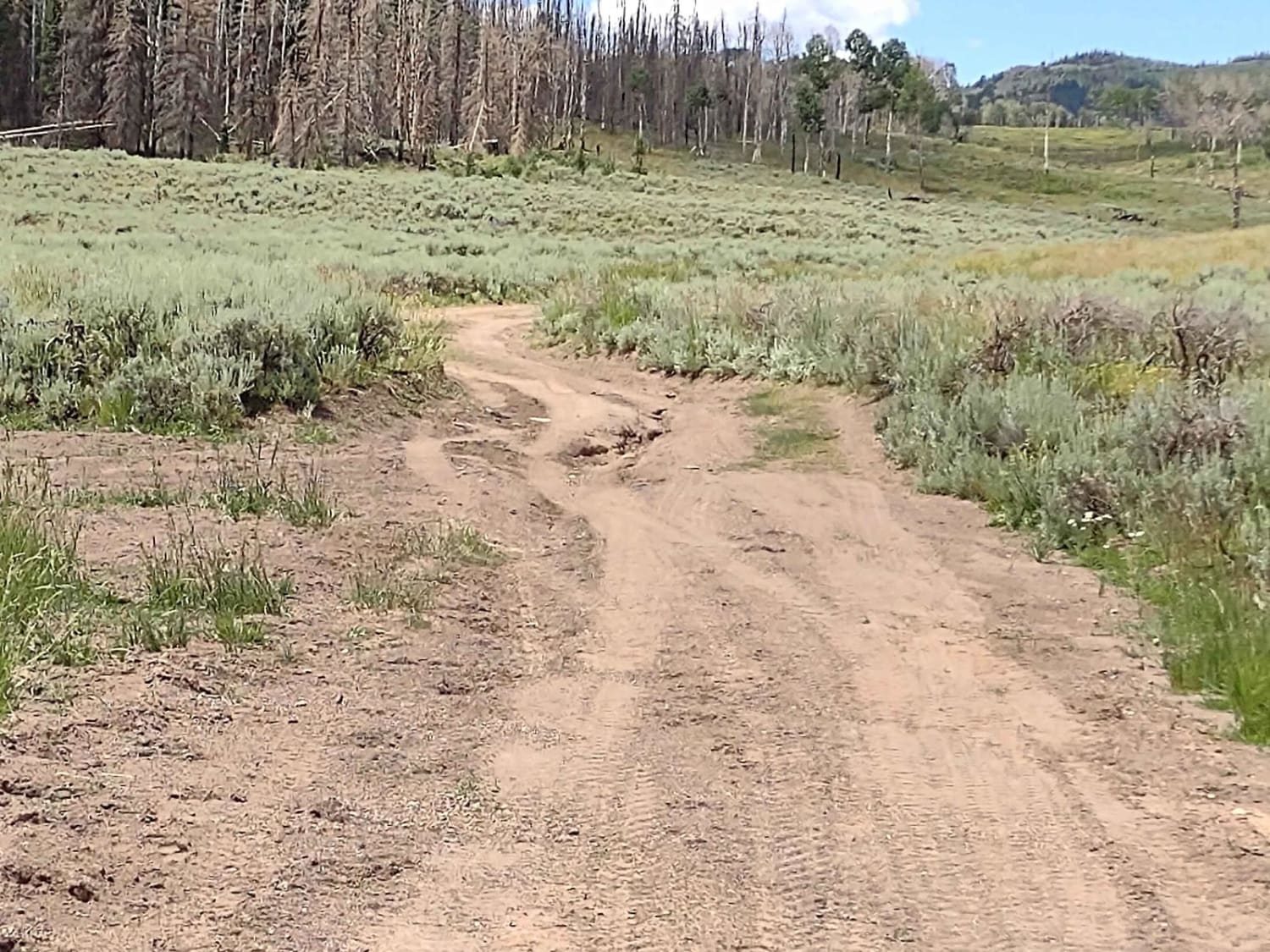
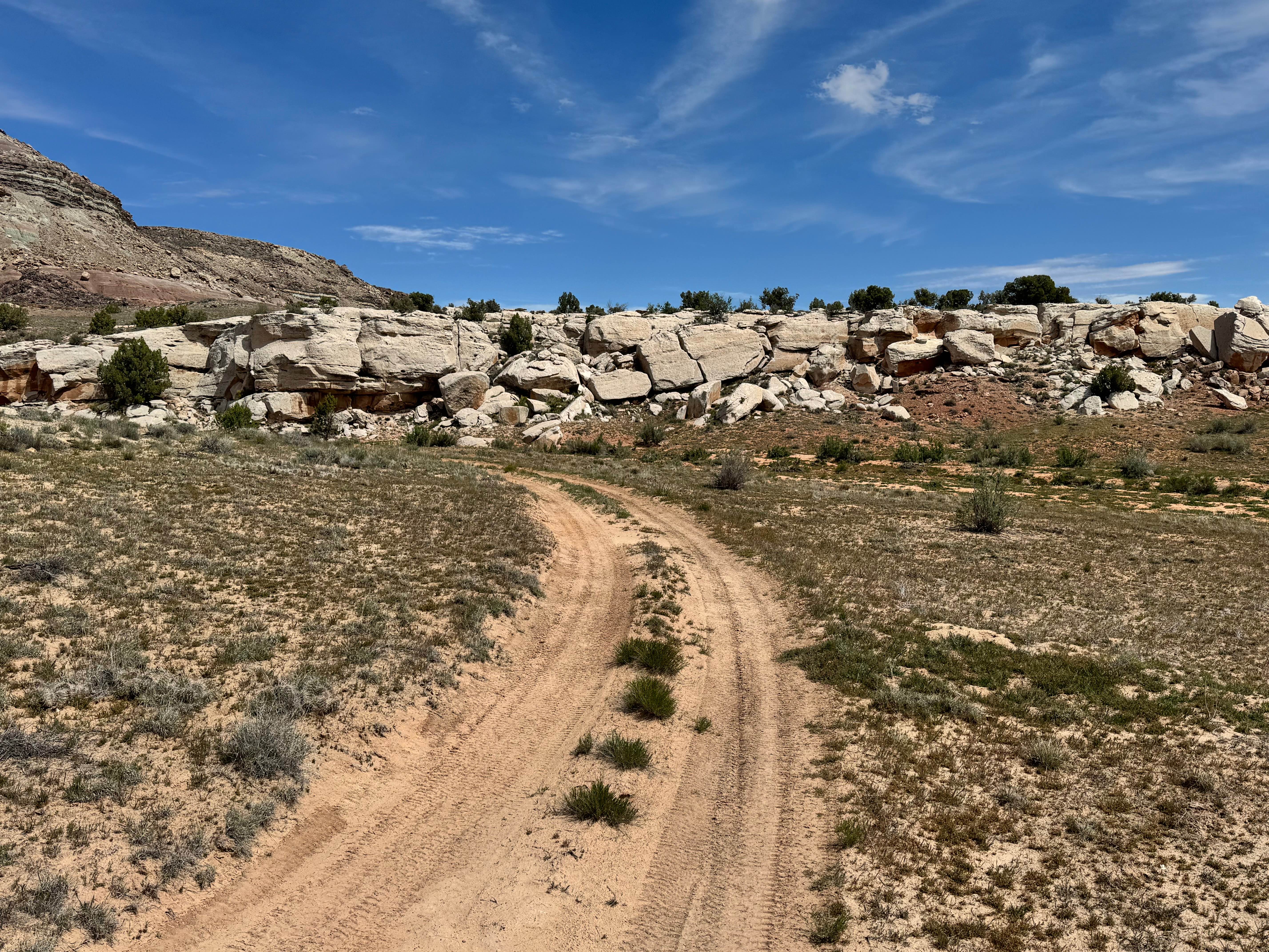
Trail Overview
This is a single-tight trail with steep grades and blind corners. In some areas only one vehicle pass at a time. this road follows a stream and goes turns into a canyon with great views all around to see. This trail has some camping spots great for tent camping and limited overland tight camping spots.
Photos of Big Springs

Difficulty
Tight Trails, big ruts, and tight blind corners
Big Springs can be accessed by the following ride types:
- High-Clearance 4x4
- SUV
- SxS (60")
- ATV (50")
- Dirt Bike
Big Springs Map
Popular Trails
Paiute Side Trail 53 (FS 41225)
Salt Valley Gorge Connector West

Moki Dugway - UT Highway 261
The onX Offroad Difference
onX Offroad combines trail photos, descriptions, difficulty ratings, width restrictions, seasonality, and more in a user-friendly interface. Available on all devices, with offline access and full compatibility with CarPlay and Android Auto. Discover what you’re missing today!