Off-Road Trails in Utah
Discover off-road trails in Utah
Learn more about Annabella Reservoir/Deep Lake - FS 40080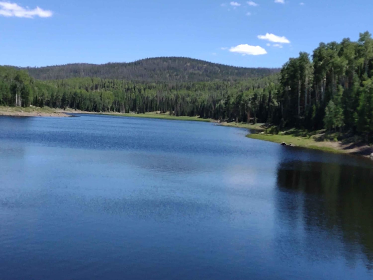
Annabella Reservoir/Deep Lake - FS 40080
Total Miles
3.3
Tech Rating
Easy
Best Time
Spring, Summer, Fall
Learn more about Ant Flat Cutoff
Ant Flat Cutoff
Total Miles
0.6
Tech Rating
Easy
Best Time
Spring, Summer, Fall
Learn more about Ant Flat Road Utah
Ant Flat Road Utah
Total Miles
14.5
Tech Rating
Easy
Best Time
Spring, Summer, Fall, Winter
Learn more about Antelope Range Mining Tour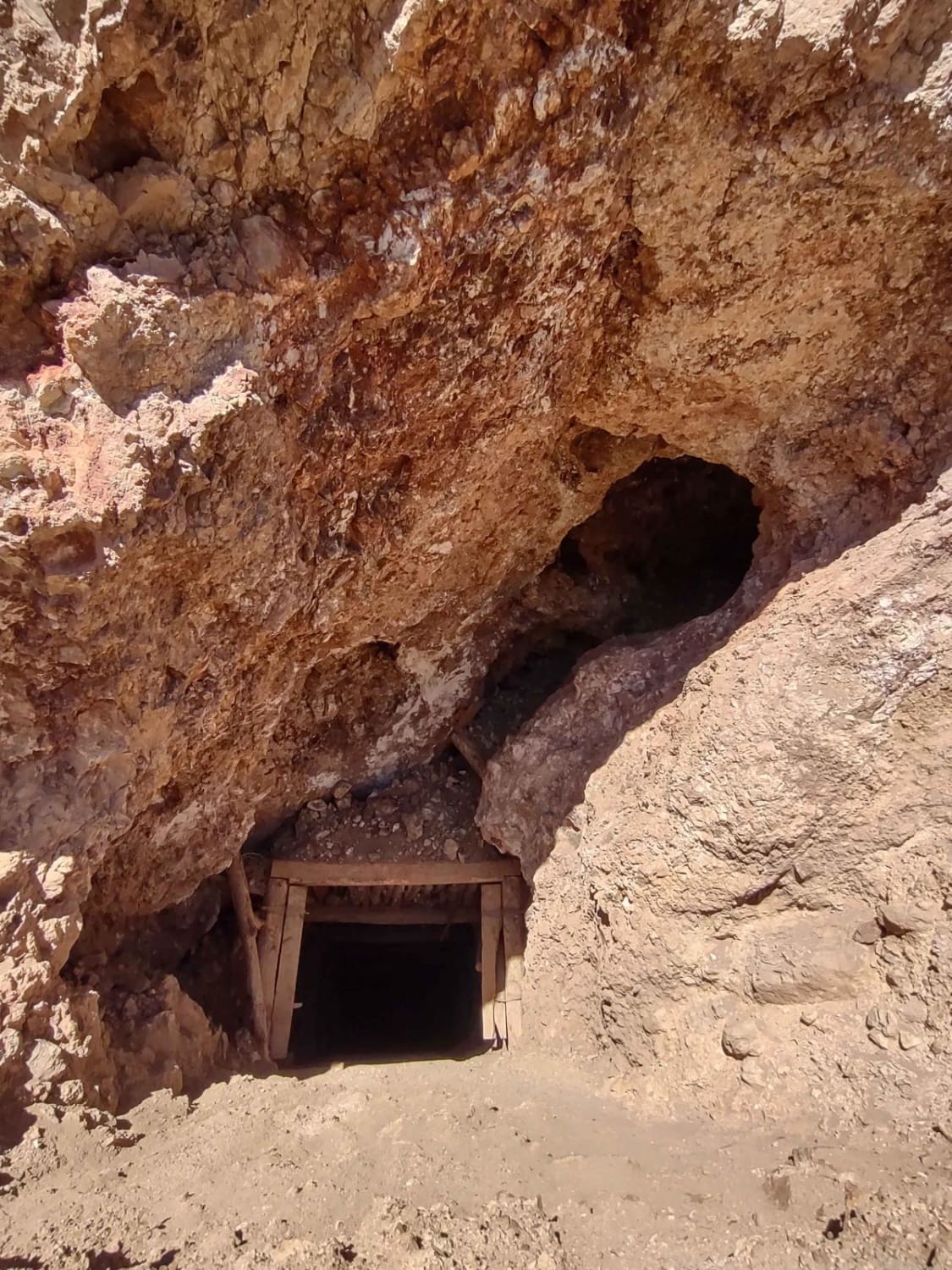
Antelope Range Mining Tour
Total Miles
8.3
Tech Rating
Easy
Best Time
Spring, Summer, Fall
Learn more about Antelope/Honeymoon Trail (North)
Antelope/Honeymoon Trail (North)
Total Miles
14.6
Tech Rating
Easy
Best Time
Winter, Fall, Summer, Spring
Learn more about Antones Hollow Trail
Antones Hollow Trail
Total Miles
11.9
Tech Rating
Moderate
Best Time
Spring, Summer, Fall
Learn more about Apex Mine Road
Apex Mine Road
Total Miles
1.6
Tech Rating
Easy
Best Time
Fall, Summer, Spring
Learn more about Aquarius Teasdale - NF154
Aquarius Teasdale - NF154
Total Miles
8.0
Tech Rating
Easy
Best Time
Spring, Summer, Fall
Learn more about Aragonite Western Pacific Road
Aragonite Western Pacific Road
Total Miles
4.3
Tech Rating
Easy
Best Time
Spring, Summer, Fall
Learn more about Arapeen Ephraim Canyon to Joes Valley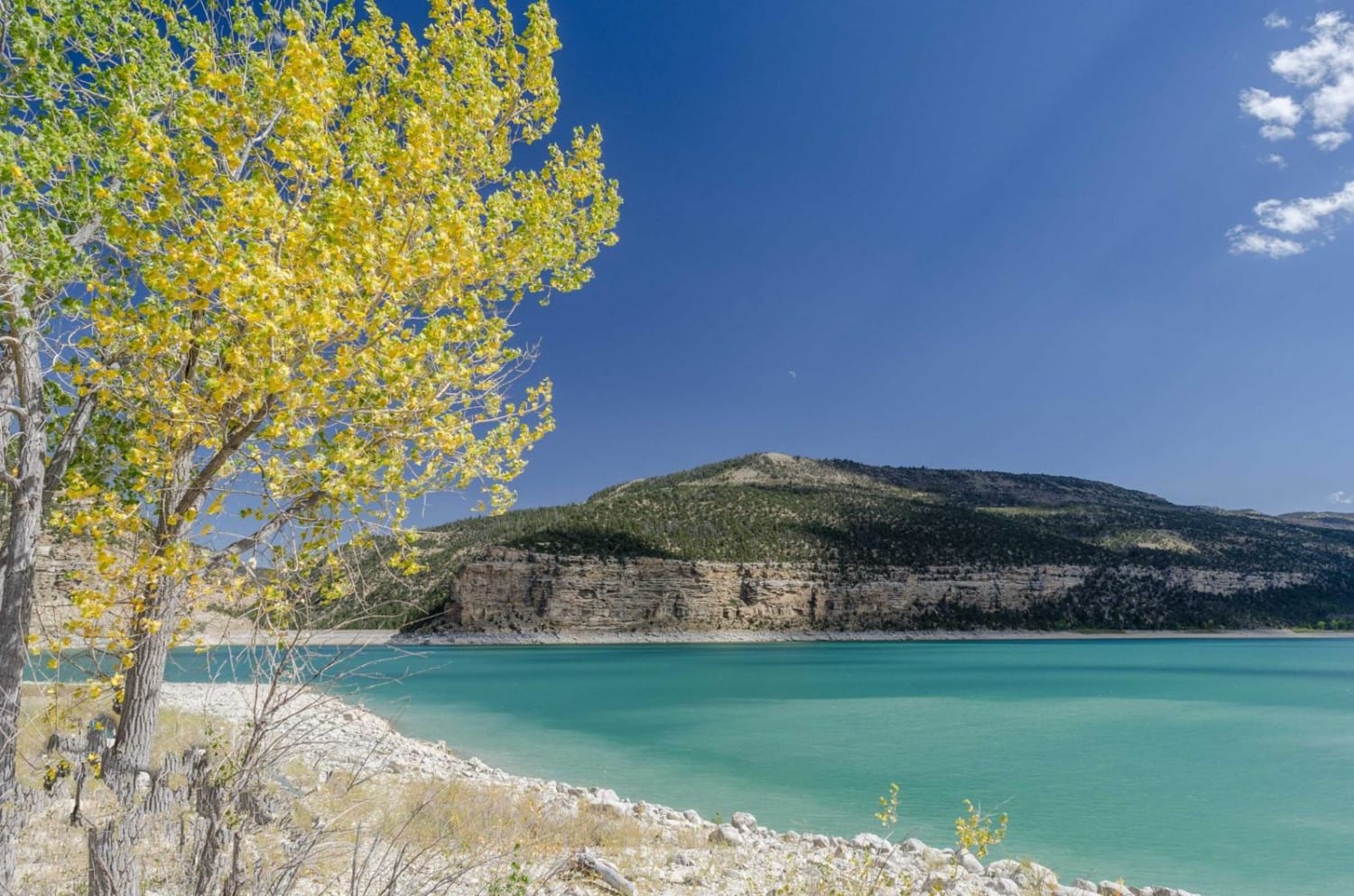
Arapeen Ephraim Canyon to Joes Valley
Total Miles
41.8
Tech Rating
Easy
Best Time
Spring, Summer, Fall, Winter
Learn more about Arapeen Manti Canyon and Milky Falls
Arapeen Manti Canyon and Milky Falls
Total Miles
10.1
Tech Rating
Moderate
Best Time
Spring, Summer, Fall
Learn more about Arapeen Six Mile Canyon
Arapeen Six Mile Canyon
Total Miles
40.2
Tech Rating
Moderate
Best Time
Spring, Summer, Fall
Learn more about Arapeen Trail 01 - Manti Canyon to Fishlake
Arapeen Trail 01 - Manti Canyon to Fishlake
Total Miles
20.7
Tech Rating
Easy
Best Time
Summer, Fall
Learn more about Arch Loop Trail
Arch Loop Trail
Total Miles
2.4
Tech Rating
Moderate
Best Time
Fall, Spring
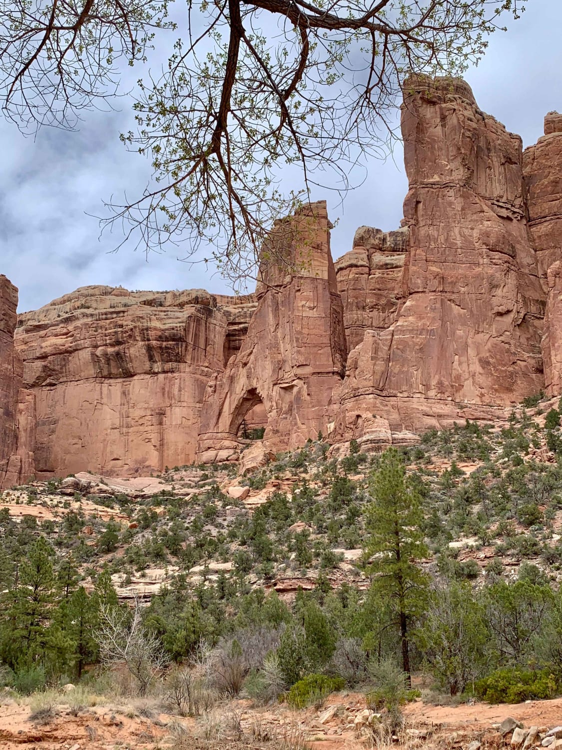
Learn more about Arch Trail 
Arch Trail
Total Miles
0.8
Tech Rating
Moderate
Best Time
Spring, Winter, Fall
Learn more about Arches via Salt Valley Road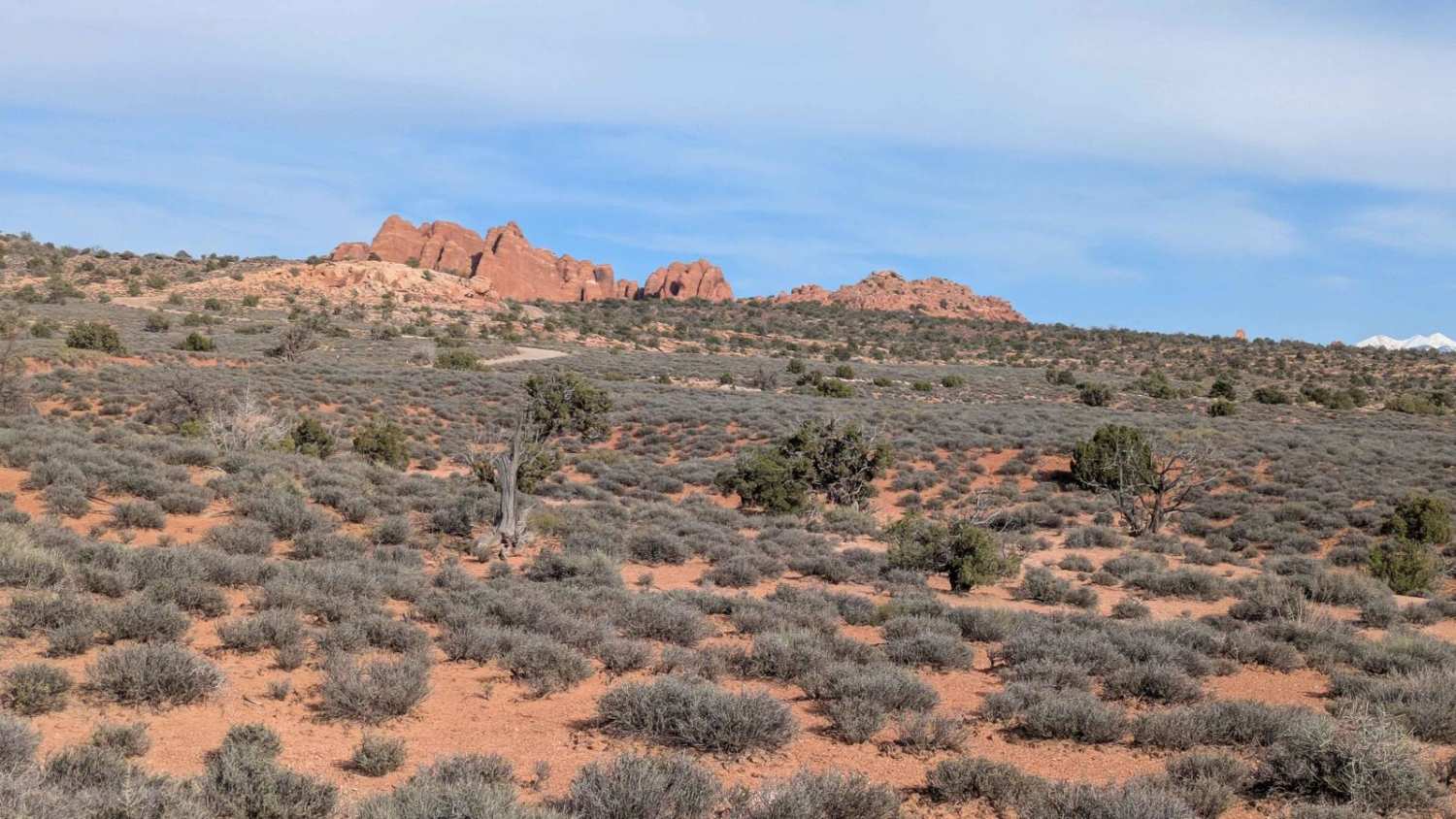
Arches via Salt Valley Road
Total Miles
9.3
Tech Rating
Easy
Best Time
Summer, Fall, Spring
Learn more about Arches View Connector
Arches View Connector
Total Miles
0.7
Tech Rating
Moderate
Best Time
Spring, Summer, Fall, Winter
Learn more about Arches View Spur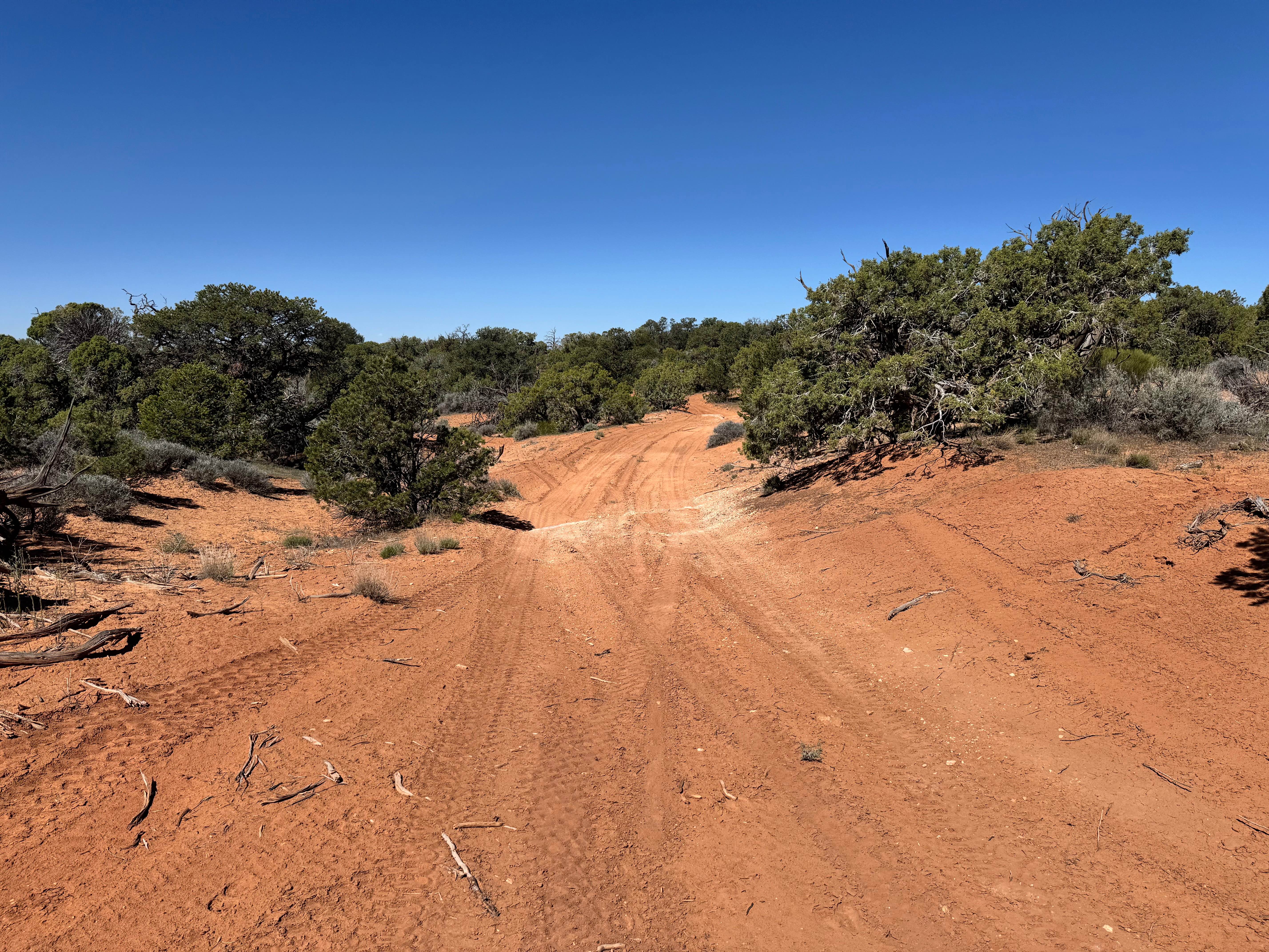
Arches View Spur
Total Miles
2.8
Tech Rating
Moderate
Best Time
Spring, Summer, Fall, Winter
ATV trails in Utah

Learn more about 14 Mile Road
14 Mile Road
Total Miles
14.7
Tech Rating
Easy
Best Time
Spring, Summer, Fall, Winter


UTV/side-by-side trails in Utah
Learn more about 14 Mile Road
14 Mile Road
Total Miles
14.7
Tech Rating
Easy
Best Time
Spring, Summer, Fall, Winter
The onX Offroad Difference
onX Offroad combines trail photos, descriptions, difficulty ratings, width restrictions, seasonality, and more in a user-friendly interface. Available on all devices, with offline access and full compatibility with CarPlay and Android Auto. Discover what you’re missing today!