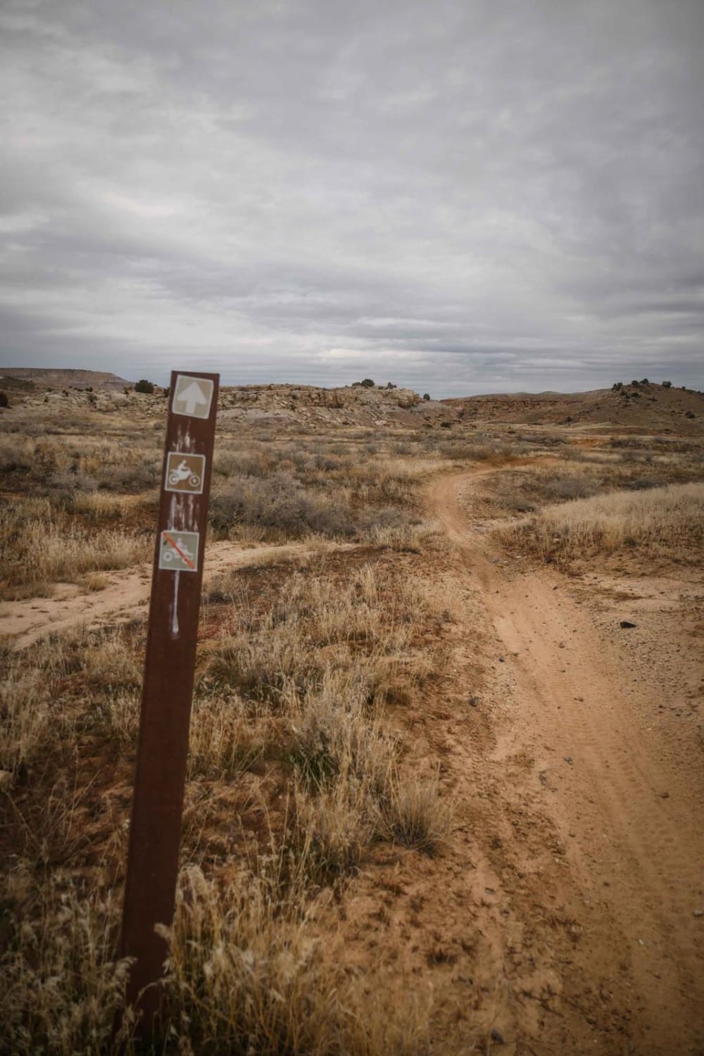
Off-Road Trails in Utah
Discover off-road trails in Utah
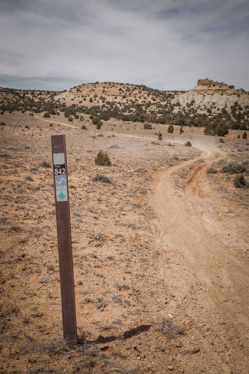
Learn more about 843 Connector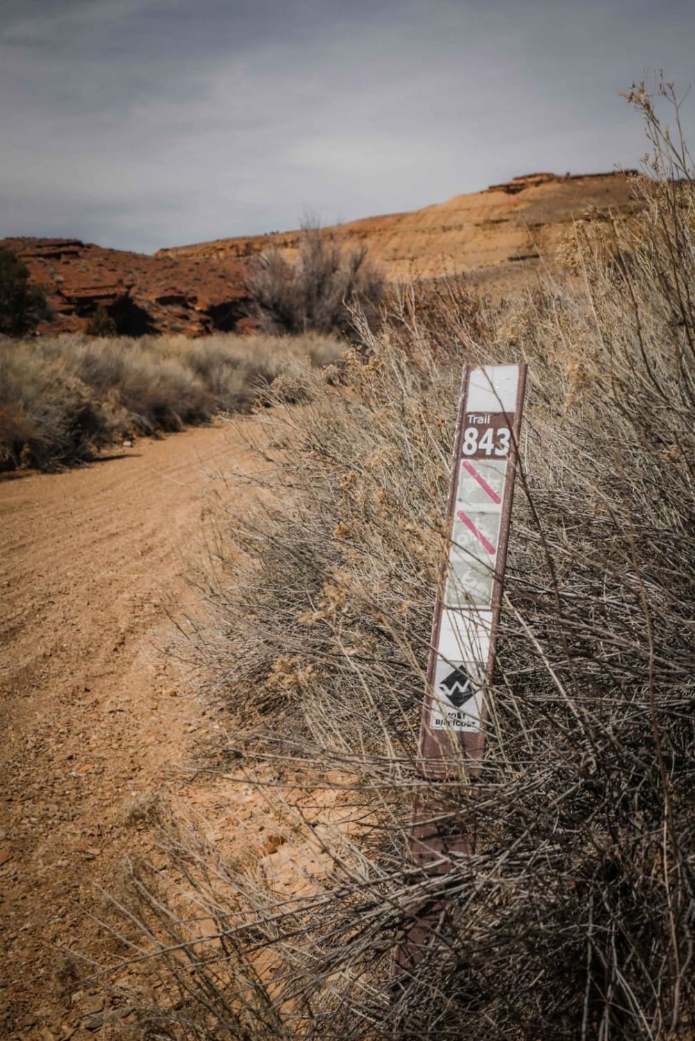
843 Connector
Total Miles
1.2
Tech Rating
Easy
Best Time
Spring, Fall, Winter
Learn more about 845 Connector
845 Connector
Total Miles
2.2
Tech Rating
Easy
Best Time
Winter, Fall, Spring
Learn more about 89 Parallel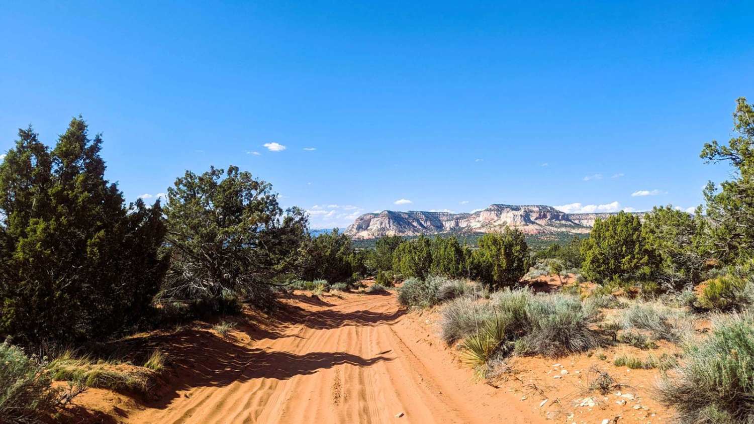
89 Parallel
Total Miles
2.8
Tech Rating
Easy
Best Time
Spring, Summer, Fall, Winter
Learn more about A Ridgeline Romp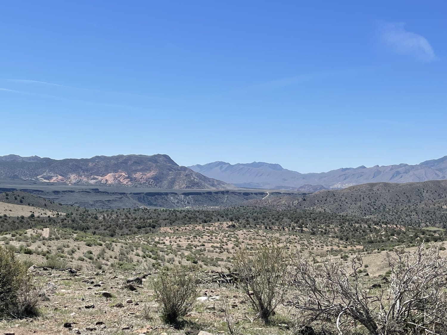
A Ridgeline Romp
Total Miles
2.0
Tech Rating
Moderate
Best Time
Fall, Spring
Learn more about Abajo Peak Trail 
Abajo Peak Trail
Total Miles
12.6
Tech Rating
Easy
Best Time
Summer, Fall
Learn more about Agate Hills Road
Agate Hills Road
Total Miles
1.5
Tech Rating
Easy
Best Time
Spring, Winter, Fall
Learn more about Airport Connector
Airport Connector
Total Miles
1.9
Tech Rating
Easy
Best Time
Fall, Spring
Learn more about Alaska Mine Loop
Alaska Mine Loop
Total Miles
2.1
Tech Rating
Easy
Best Time
Spring, Summer, Fall
Learn more about Albinus Canyon- Elsinore Mountain Road- FS 40105
Albinus Canyon- Elsinore Mountain Road- FS 40105
Total Miles
7.3
Tech Rating
Easy
Best Time
Spring, Summer, Fall
Learn more about Alstrom Point - Rec Road 264
Alstrom Point - Rec Road 264
Total Miles
6.9
Tech Rating
Easy
Best Time
Spring, Summer, Fall
Learn more about Alt Start Day Canyon Point Trail
Alt Start Day Canyon Point Trail
Total Miles
0.9
Tech Rating
Moderate
Best Time
Spring, Summer, Fall
Learn more about Alta Dry Fork (FR 70198)
Alta Dry Fork (FR 70198)
Total Miles
2.0
Tech Rating
Moderate
Best Time
Summer, Fall
Learn more about Alternate GWT - FR129
Alternate GWT - FR129
Total Miles
13.8
Tech Rating
Moderate
Best Time
Spring, Summer, Fall
Learn more about Alternate Smith Canyon Access (FS# 4923)
Alternate Smith Canyon Access (FS# 4923)
Total Miles
0.8
Tech Rating
Easy
Best Time
Spring, Summer, Fall
Learn more about Alvies Bench (FR 70192)
Alvies Bench (FR 70192)
Total Miles
3.3
Tech Rating
Easy
Best Time
Summer, Fall
Learn more about Amasa ATV Route 1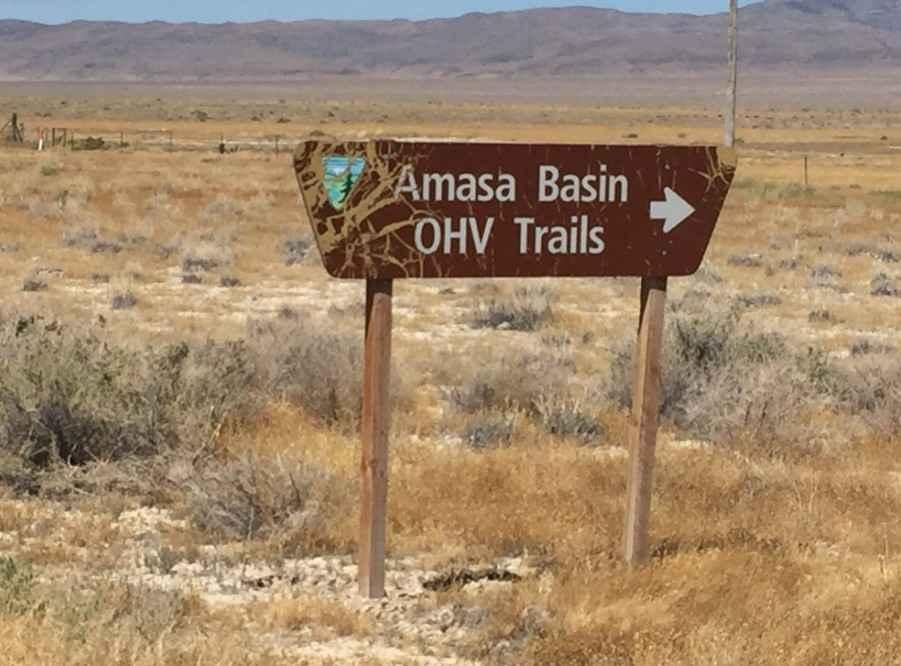
Amasa ATV Route 1
Total Miles
18.9
Tech Rating
Easy
Best Time
Spring, Summer, Fall, Winter
Learn more about American Fork Snake Creek
American Fork Snake Creek
Total Miles
17.2
Tech Rating
Easy
Best Time
Summer, Fall
ATV trails in Utah

Learn more about 14 Mile Road
14 Mile Road
Total Miles
14.7
Tech Rating
Easy
Best Time
Spring, Summer, Fall, Winter


UTV/side-by-side trails in Utah
Learn more about 14 Mile Road
14 Mile Road
Total Miles
14.7
Tech Rating
Easy
Best Time
Spring, Summer, Fall, Winter
The onX Offroad Difference
onX Offroad combines trail photos, descriptions, difficulty ratings, width restrictions, seasonality, and more in a user-friendly interface. Available on all devices, with offline access and full compatibility with CarPlay and Android Auto. Discover what you’re missing today!