Trail Overview
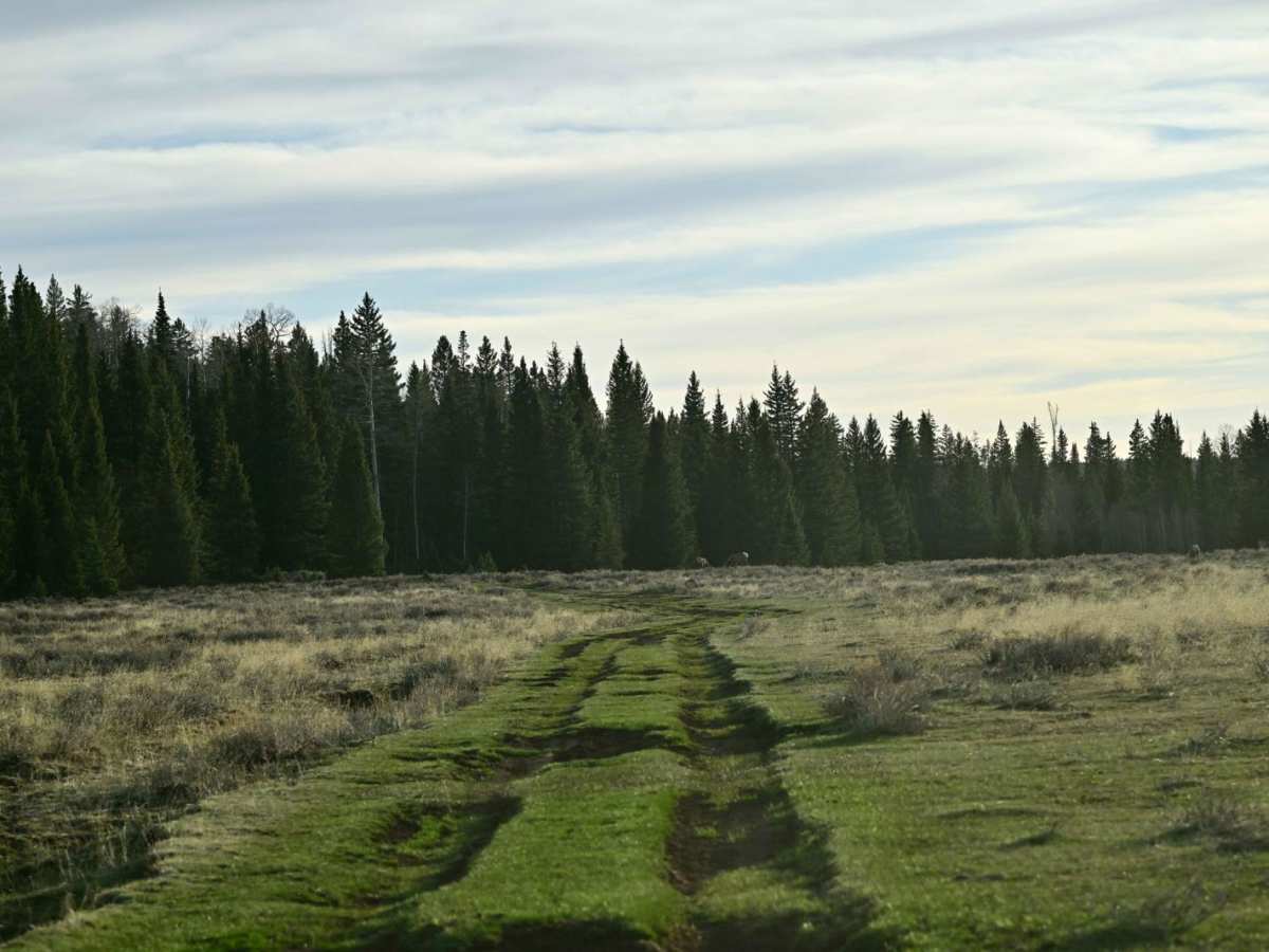
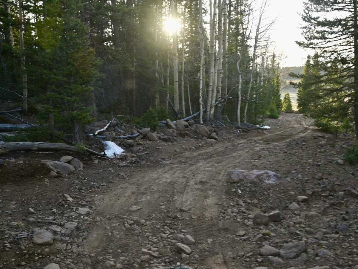
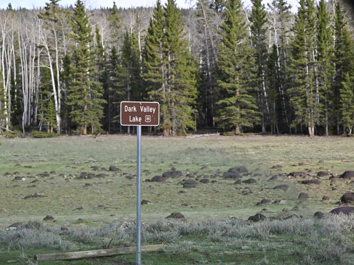
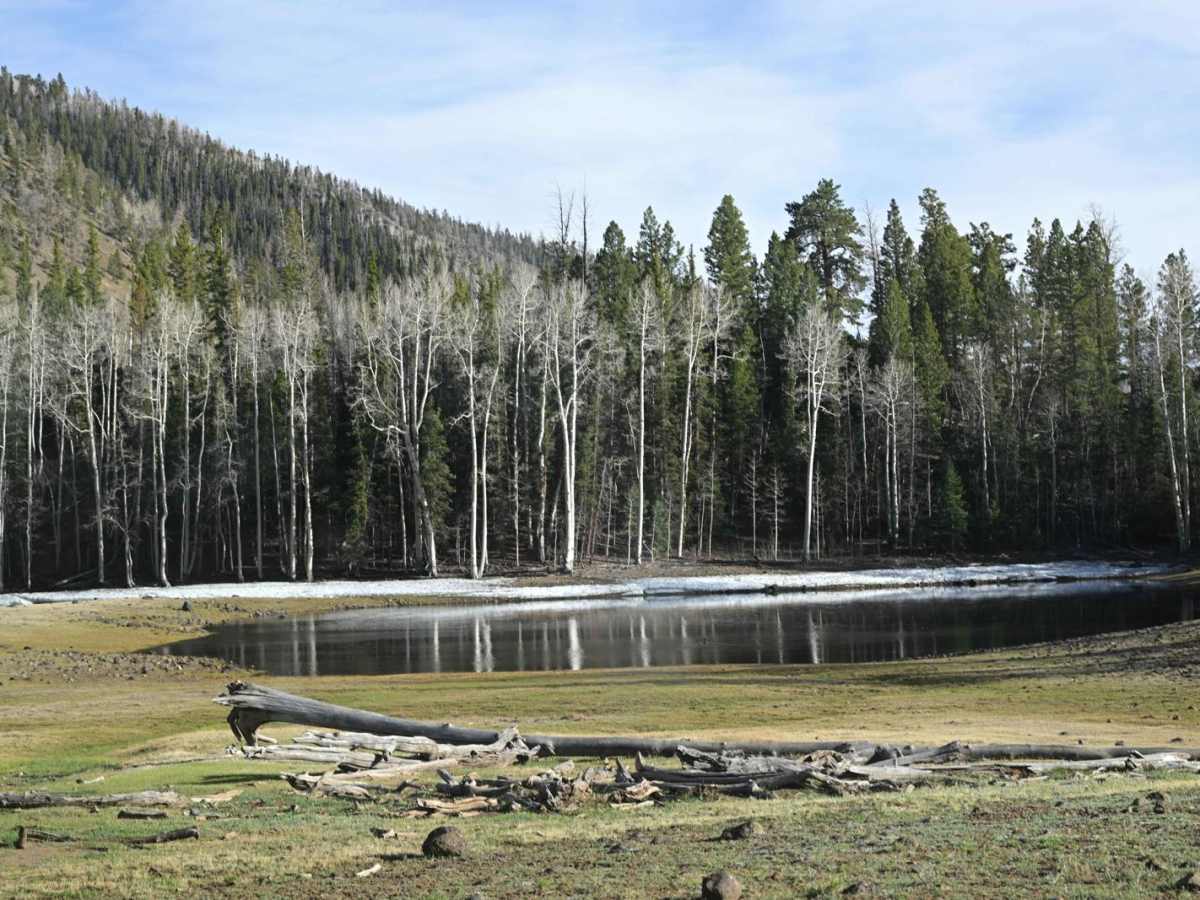
The main Great Western Trail takes you across Boulder Top and Bluebell Knoll, which at 10,000ft + elevation means the date window for riding is abbreviated due to snow at higher elevations. This main route was impassable in mid-May. Much of this trail is recognized by the National Forest as an alternative route to the GWT because it skirts the main route at the base of the Aquarius Plateau at a lower elevation;therefore, the operational window is longer. The drawback to this alternate approach is that a portion is limited to 50-inch ATVs. This trail eliminates that restriction while staying as true as possible to the alternate routing. Be advised, however, that this is a very rocky technical trail with some very interesting obstacles. Several stream crossings are involved, with one in particular being a very damaged land bridge with deep water on each side should you miscalculate. The views are incredible, and wildlife is plentiful with large Elk and Pronghorn herds. The trail surface, for the large part, is an exercise in picking lines through small-scale rock gardens, downed trees, and other minor obstacles, so drive carefully.
Difficulty
Rating due to several deep water crossings at the time of mapping, and the general non-stop exposure to rock gardens through much of the trail. While there are some areas that are smooth and even grassy, they are the exception.
History
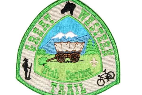
The Great Western Trail (GWT) is a north-south unique corridor of braided and paralleling trails encompassing many of the local popular trails for both motorized and non-motorized users and traverses some 4,455 mile (7,170 km) from Canada to Mexico through 5 western states (AZ, UT, ID, WY, & MT). It is the longest truly multiple-use trail system in the world. The trail concept was conceived about 1980 by Utah horsemen, hikers, and the U. S. Forest Service to build a regional trail along the Wasatch Crest. The idea languished until about 1985, when the idea was expanded to create a trail that extended from the Grand Canyon to Yellowstone National Park. Shortly thereafter, two backpackers from New York City hiked from Canada to Mexico along this embryonic trail system, and now the GWT is becoming real. Eventually, the trail will connect Mexico with Canada through Arizona, Utah, Idaho, and Montana. The trail is a "work in progress" with a concept to designate a trail system that traverses thousands of miles through Arizona, Utah, Idaho, Wyoming, and Montana.