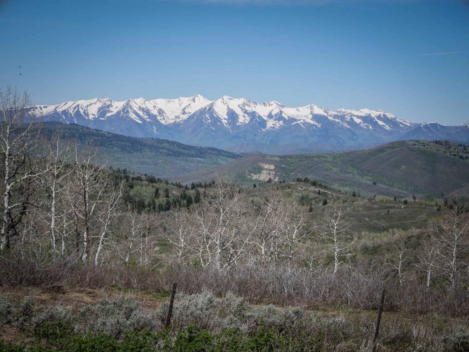
Off-Road Trails in Utah
Discover off-road trails in Utah
Learn more about Arrowhead Canyon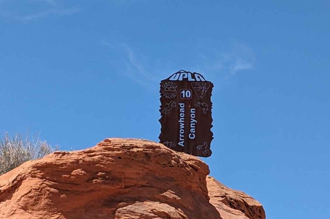
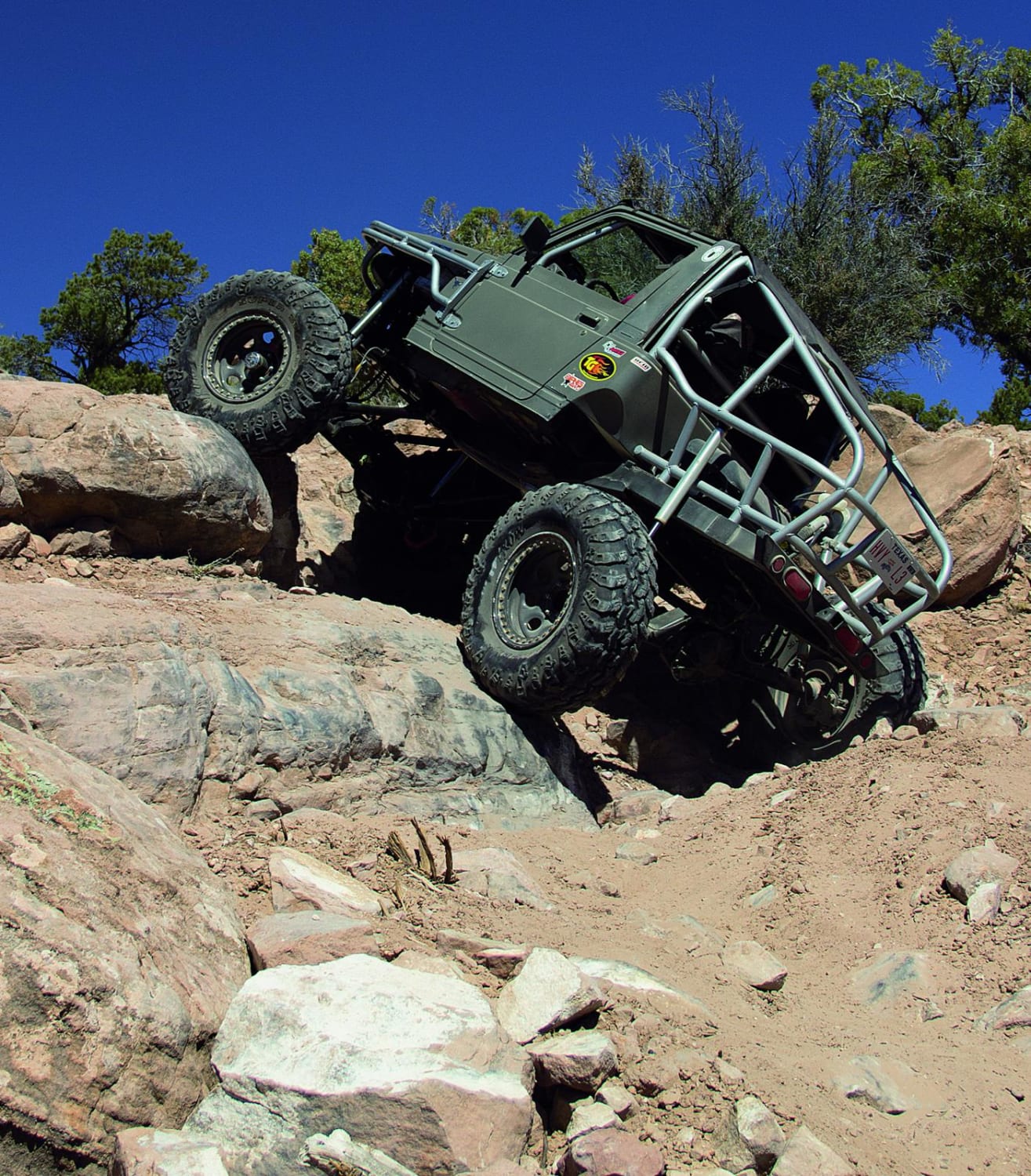
Arrowhead Canyon
Total Miles
0.4
Tech Rating
Extreme
Best Time
Summer, Fall, Winter, Spring
Learn more about Arrowhead Trail
Arrowhead Trail
Total Miles
47.8
Tech Rating
Easy
Best Time
Fall, Summer, Spring, Winter
Learn more about Arths Pasture Road
Arths Pasture Road
Total Miles
2.4
Tech Rating
Moderate
Best Time
Spring, Summer, Fall
Learn more about As Above So Below
As Above So Below
Total Miles
7.8
Tech Rating
Easy
Best Time
Winter, Fall, Summer, Spring
Learn more about Asay Bench Loop - #49
Asay Bench Loop - #49
Total Miles
2.5
Tech Rating
Easy
Best Time
Summer, Fall
Learn more about Asay Knoll Loop
Asay Knoll Loop
Total Miles
3.0
Tech Rating
Moderate
Best Time
Summer, Fall
Learn more about Aspen Flat Trail No. 018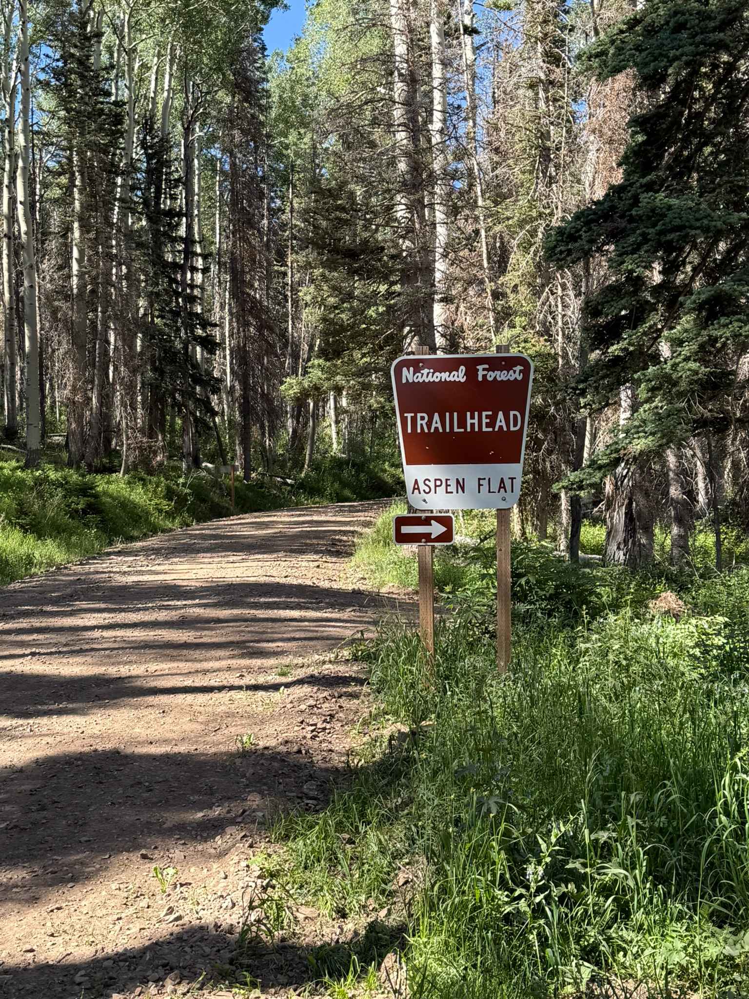
Aspen Flat Trail No. 018
Total Miles
5.4
Tech Rating
Difficult
Best Time
Summer, Fall
Learn more about Aspen Grove Extravaganza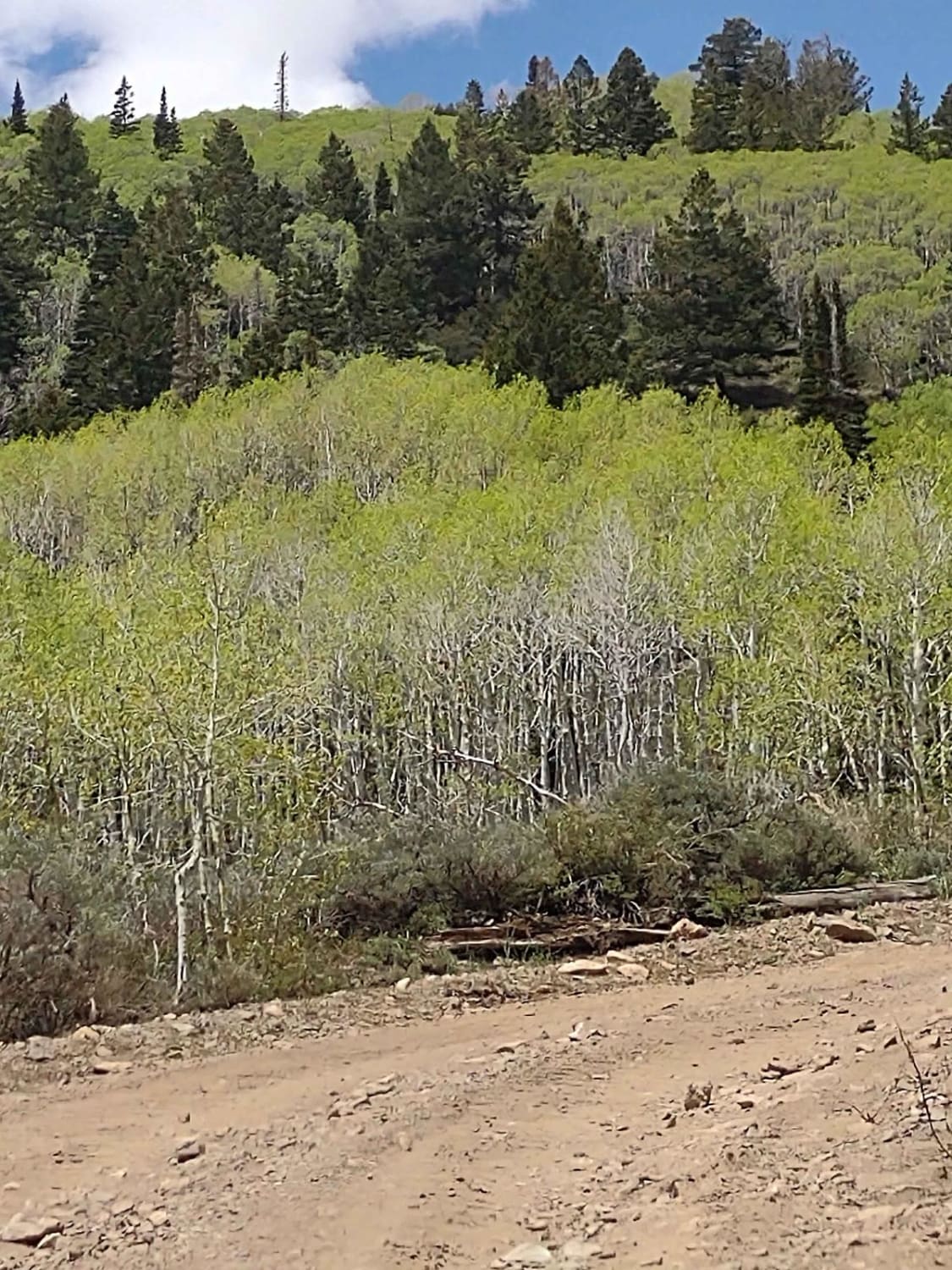
Aspen Grove Extravaganza
Total Miles
1.6
Tech Rating
Easy
Best Time
Spring, Summer, Fall
Learn more about ATV Connector 
ATV Connector
Total Miles
2.3
Tech Rating
Moderate
Best Time
Spring, Winter, Fall
Learn more about ATV2 / ATV4 to Cascade Springs Drive
ATV2 / ATV4 to Cascade Springs Drive
Total Miles
3.9
Tech Rating
Easy
Best Time
Spring, Fall
Learn more about Baby Lions Back
Baby Lions Back
Total Miles
0.5
Tech Rating
Moderate
Best Time
Spring, Summer, Fall, Winter
Learn more about Baby Steps 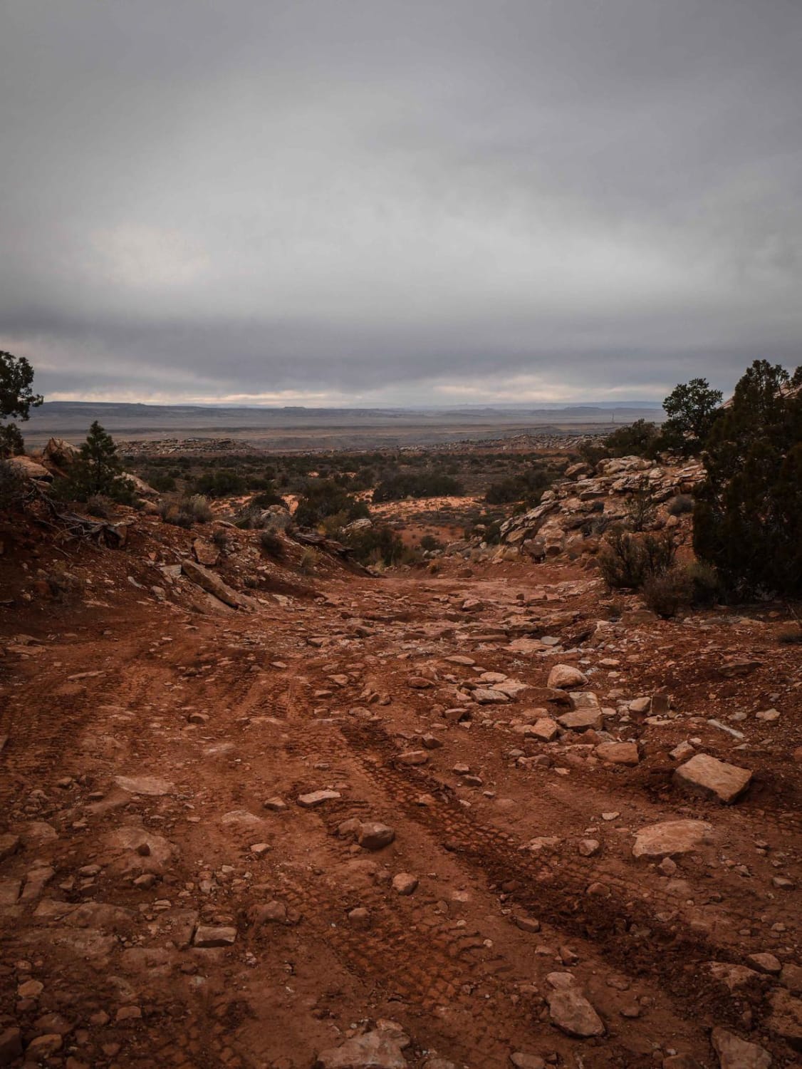
Baby Steps
Total Miles
0.7
Tech Rating
Moderate
Best Time
Spring, Winter, Fall
Learn more about Backdoor to Babylon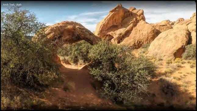
Backdoor to Babylon
Total Miles
7.1
Tech Rating
Easy
Best Time
Spring, Summer, Fall, Winter
Learn more about Backdoor to Babylon Loop
Backdoor to Babylon Loop
Total Miles
0.8
Tech Rating
Easy
Best Time
Spring, Summer, Fall, Winter
Learn more about Backdoor to Babylon Trail
Backdoor to Babylon Trail
Total Miles
3.5
Tech Rating
Easy
Best Time
Spring, Summer, Fall, Winter
Learn more about Backdoor to Babylon Wash
Backdoor to Babylon Wash
Total Miles
1.0
Tech Rating
Easy
Best Time
Spring, Summer, Fall, Winter
Learn more about Backdoor to Little Sahara
Backdoor to Little Sahara
Total Miles
15.2
Tech Rating
Easy
Best Time
Spring, Summer, Fall, Winter
ATV trails in Utah

Learn more about 14 Mile Road
14 Mile Road
Total Miles
14.7
Tech Rating
Easy
Best Time
Spring, Summer, Fall, Winter


UTV/side-by-side trails in Utah
Learn more about 14 Mile Road
14 Mile Road
Total Miles
14.7
Tech Rating
Easy
Best Time
Spring, Summer, Fall, Winter
The onX Offroad Difference
onX Offroad combines trail photos, descriptions, difficulty ratings, width restrictions, seasonality, and more in a user-friendly interface. Available on all devices, with offline access and full compatibility with CarPlay and Android Auto. Discover what you’re missing today!