Off-Road Trails in Utah
Discover off-road trails in Utah
Learn more about Backdoor to Little Sahara
Backdoor to Little Sahara
Total Miles
15.2
Tech Rating
Easy
Best Time
Spring, Summer, Fall, Winter
Learn more about Backwards Bill
Backwards Bill
Total Miles
16.9
Tech Rating
Moderate
Best Time
Spring, Summer, Fall, Winter
Learn more about Backwards Bill - CLOSED
Backwards Bill - CLOSED
Total Miles
17.0
Tech Rating
Moderate
Best Time
Spring, Summer, Fall, Winter
Learn more about Badger Creek (32003)
Badger Creek (32003)
Total Miles
7.5
Tech Rating
Easy
Best Time
Spring, Summer, Fall
Learn more about Baker Hogs Back Right Fork
Baker Hogs Back Right Fork
Total Miles
3.9
Tech Rating
Easy
Best Time
Spring, Fall, Winter, Summer
Learn more about Baker Hogs Back Road
Baker Hogs Back Road
Total Miles
6.3
Tech Rating
Easy
Best Time
Spring, Summer, Fall, Winter
Learn more about Baker Hot Springs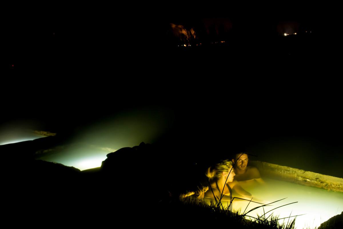
Baker Hot Springs
Total Miles
7.4
Tech Rating
Easy
Best Time
Spring, Summer, Fall
Learn more about Baker Hot Springs North Entrance
Baker Hot Springs North Entrance
Total Miles
9.8
Tech Rating
Easy
Best Time
Spring, Summer, Fall, Winter
Learn more about Baker Ranch Road
Baker Ranch Road
Total Miles
17.2
Tech Rating
Easy
Best Time
Spring, Summer, Fall
Learn more about Bald Mountain - FS 70043
Bald Mountain - FS 70043
Total Miles
3.5
Tech Rating
Easy
Best Time
Summer, Fall
Learn more about Baldy Wheeler Road
Baldy Wheeler Road
Total Miles
5.1
Tech Rating
Moderate
Best Time
Fall, Summer
Learn more about Barney Cove ATV Trail-NPS33014
Barney Cove ATV Trail-NPS33014
Total Miles
1.8
Tech Rating
Easy
Best Time
Spring, Summer, Fall, Winter
Learn more about Barton's Peak Overlook
Barton's Peak Overlook
Total Miles
1.8
Tech Rating
Moderate
Best Time
Summer, Fall
Learn more about Base of Hill Road to 7 Mile Pass
Base of Hill Road to 7 Mile Pass
Total Miles
1.8
Tech Rating
Easy
Best Time
Spring, Summer, Fall
Learn more about Basin Twister
Basin Twister
Total Miles
11.8
Tech Rating
Moderate
Best Time
Spring, Summer, Fall, Winter
Learn more about Bates Canyon Trail
Bates Canyon Trail
Total Miles
1.3
Tech Rating
Easy
Best Time
Fall, Summer
Learn more about Bates Canyon Trail Access To Erda Lookout
Bates Canyon Trail Access To Erda Lookout
Total Miles
1.1
Tech Rating
Moderate
Best Time
Fall, Summer
Learn more about Batty Pass Caves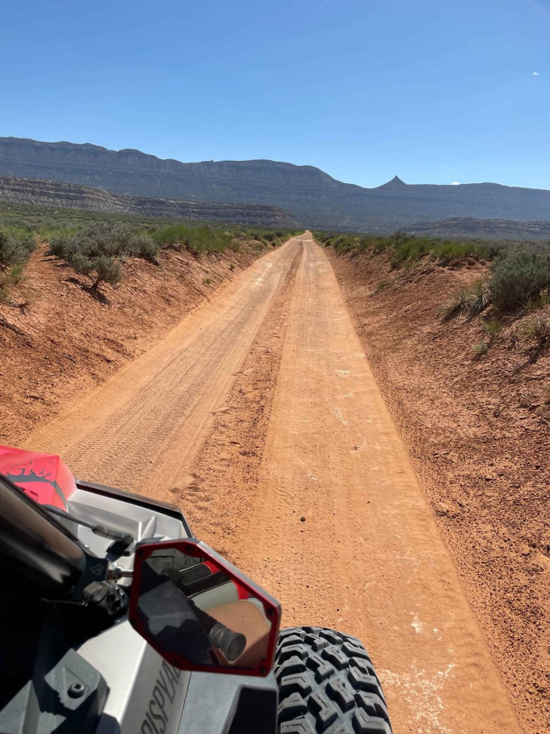
Batty Pass Caves
Total Miles
2.4
Tech Rating
Easy
Best Time
Spring, Summer, Fall
Learn more about Baudino Ranch Road
Baudino Ranch Road
Total Miles
2.0
Tech Rating
Easy
Best Time
Spring, Summer, Fall, Winter
ATV trails in Utah

Learn more about 14 Mile Road
14 Mile Road
Total Miles
14.7
Tech Rating
Easy
Best Time
Spring, Summer, Fall, Winter


UTV/side-by-side trails in Utah
Learn more about 14 Mile Road
14 Mile Road
Total Miles
14.7
Tech Rating
Easy
Best Time
Spring, Summer, Fall, Winter
The onX Offroad Difference
onX Offroad combines trail photos, descriptions, difficulty ratings, width restrictions, seasonality, and more in a user-friendly interface. Available on all devices, with offline access and full compatibility with CarPlay and Android Auto. Discover what you’re missing today!