Barney Cove ATV Trail-NPS33014
Total Miles
1.8
Technical Rating
Best Time
Spring, Summer, Fall, Winter
Trail Type
50" Trail
Accessible By
Trail Overview
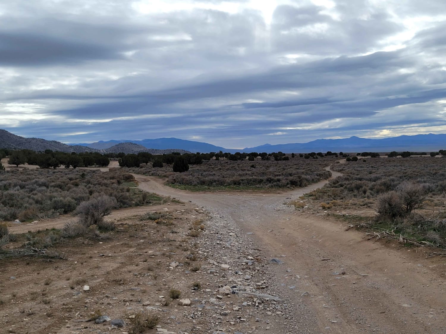
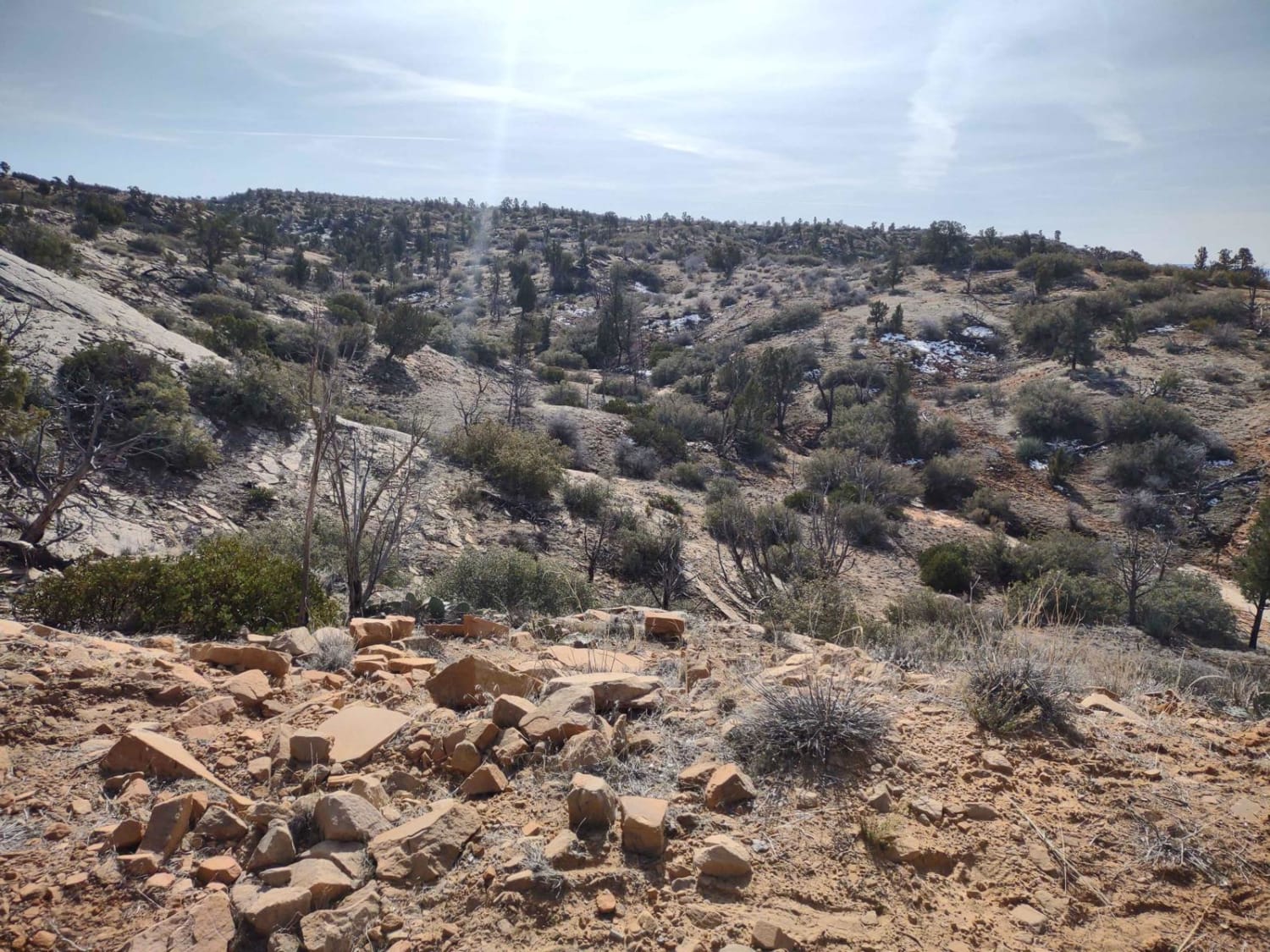
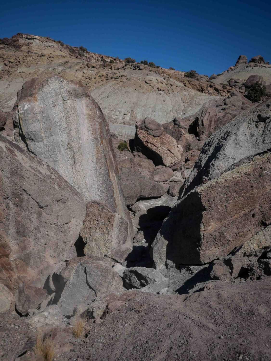
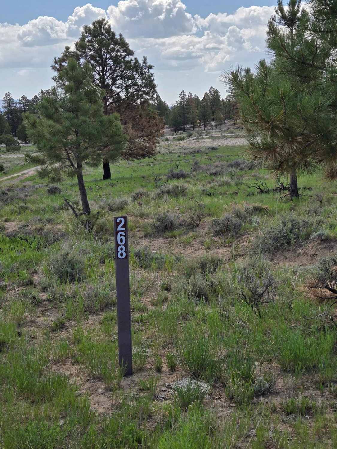
Barney Cove ATV Trail-NPS33014 is a 1.8-mile ATV (50" or less) trail rated 3 of 10 located in the Dixie National Forest. This trail can be run as a point-to-point or combined with several other 4x4 forest roads to create a looping ride. This trail is considered easy and suitable for beginners. This trail is an extension of the Casto Canyon trail and starts where Casto Canyon turns east and becomes a non-motorized trail. This trail has no significant obstacles, and the track is relatively smooth. This trail does not have the red/orange windswept rock formations that Casto Canyon contains. The pine forest thinks as the trail continues to gain altitude, and the surface material changes to a dirty gray, contrasting the canyon below. Castro Canyon starts at an elevation of around 7000', and the merge point between it and Barney Cove is a little over 7500'. Barney Cove will continue to climb, gaining an additional 500' over the 1.8 miles up to the intersection with Peterson Point Trail-NPS33097. The canyon is open year-round, but remember, this is snow country, and the trail may be completely impassable in winter. Barney Cove is open to ATV/UTV, motorcycles, bicycles, hikers and equestrians. A good indicator of potential activity on the trail is the number of vehicles located in the parking lot near the southern trail entrance to Casto Canyon. Both ends of the trail have 50" barriers, with one at the beginning of Casto Canyon and one at the north end of Barney Cove. ATVs are asked to stay on the trail, while non-motorized can hike or ride anywhere in the canyon. Depending on the time of year, the creek may be wet or dry.Combining the two trails offers a unique ride experience through wind-swept or windswept rock formations similar to those found in Bryce Canyon National Park and the high-altitude forest and scenic views. This Ashen sandstone is apparent near the north end of this trail. The Brian Head Formation is the geological name for this area. The Brian Head Formation is the debris and fallen Ash plumes from one of the most significant supervolcanic eruptions the world has ever experienced, roughly 30 million years ago. There is no cell service along this trail. The nearest services to include medical are located in Panguitch, west of the trail. I highly recommend continuing to the canyon's end and going out on Peterson's Point for some great views, then returning either through Limekiln Road or the Freemont ATV Trail.
Photos of Barney Cove ATV Trail-NPS33014


Difficulty
Trail consisting of loose rocks, dirt, and sand with some slickrock surfaces, mud holes possible, no steps higher than 12". 4WD may be required, aggressive tires a plus.
Status Reports
Barney Cove ATV Trail-NPS33014 can be accessed by the following ride types:
- ATV (50")
- Dirt Bike
Barney Cove ATV Trail-NPS33014 Map
Popular Trails
Leeds Creek-Cottonwood Spur #30905
Hill and Dale - FSR 30268
The onX Offroad Difference
onX Offroad combines trail photos, descriptions, difficulty ratings, width restrictions, seasonality, and more in a user-friendly interface. Available on all devices, with offline access and full compatibility with CarPlay and Android Auto. Discover what you’re missing today!