Off-Road Trails in Utah
Discover off-road trails in Utah
Learn more about Baulie's Road - San Juan County B236
Baulie's Road - San Juan County B236
Total Miles
6.8
Tech Rating
Easy
Best Time
Spring, Summer, Fall, Winter
Learn more about Baxter Ridge Road
Baxter Ridge Road
Total Miles
0.8
Tech Rating
Moderate
Best Time
Summer, Fall
Learn more about Baxter Sawmill Overlook
Baxter Sawmill Overlook
Total Miles
0.9
Tech Rating
Moderate
Best Time
Fall, Summer
Learn more about Baxter Sawmill Road
Baxter Sawmill Road
Total Miles
9.2
Tech Rating
Easy
Best Time
Summer, Fall
Learn more about Bd Wash Access Road
Bd Wash Access Road
Total Miles
7.9
Tech Rating
Easy
Best Time
Spring, Summer, Fall
Learn more about Bear Canyon (2179)
Bear Canyon (2179)
Total Miles
1.9
Tech Rating
Moderate
Best Time
Summer, Fall
Learn more about Bear Canyon Spur (2178)
Bear Canyon Spur (2178)
Total Miles
0.3
Tech Rating
Moderate
Best Time
Summer, Fall
Learn more about Bear Claw Poppy to Santa Clara Loop
Bear Claw Poppy to Santa Clara Loop
Total Miles
17.7
Tech Rating
Easy
Best Time
Spring, Summer, Fall, Winter
Learn more about Bear Claw Poppy Trail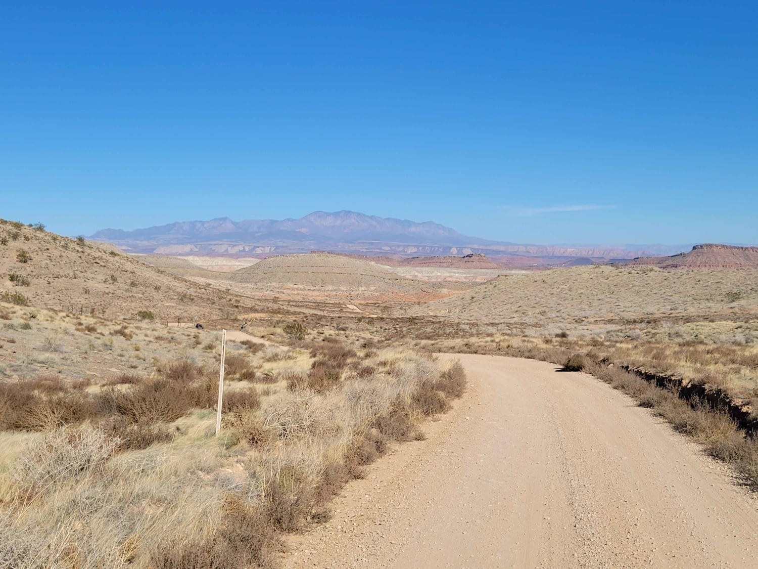
Bear Claw Poppy Trail
Total Miles
3.9
Tech Rating
Easy
Best Time
Fall, Summer, Spring
Learn more about Bear Claw to Overlook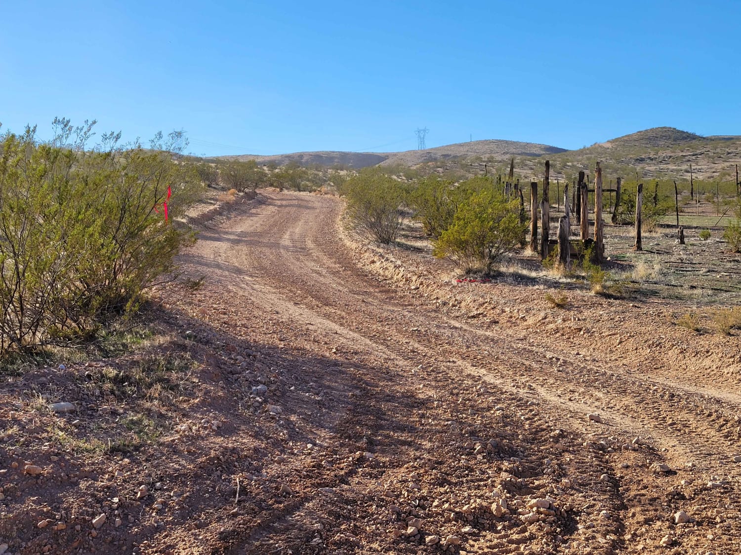
Bear Claw to Overlook
Total Miles
2.3
Tech Rating
Easy
Best Time
Fall, Summer, Spring

Learn more about Bear Gulch - FS 10329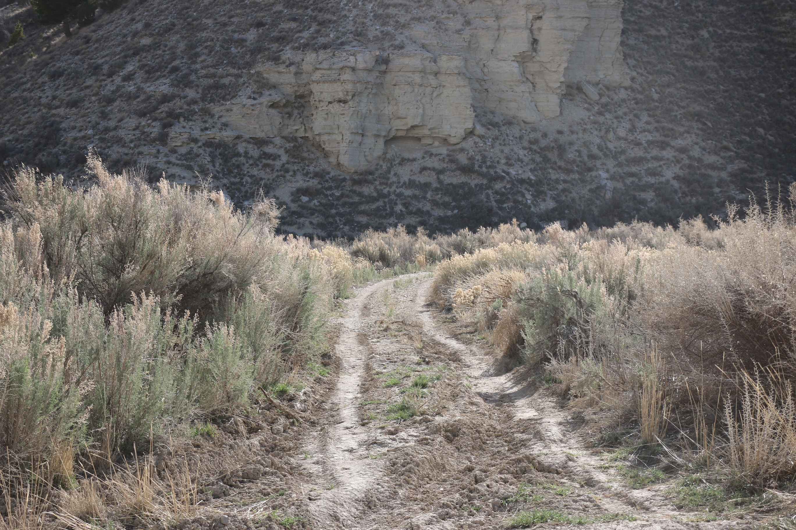
Bear Gulch - FS 10329
Total Miles
4.4
Tech Rating
Easy
Best Time
Spring, Summer, Fall
Learn more about Bear Hollow - FS 70440
Bear Hollow - FS 70440
Total Miles
1.1
Tech Rating
Easy
Best Time
Spring, Summer
Learn more about Bear Ridge - FS50008
Bear Ridge - FS50008
Total Miles
11.1
Tech Rating
Easy
Best Time
Spring, Summer, Fall
Learn more about Bearskin Cutoff (BC-20)
Bearskin Cutoff (BC-20)
Total Miles
1.8
Tech Rating
Easy
Best Time
Summer, Fall
Learn more about Beaver Creek - Mount Baldy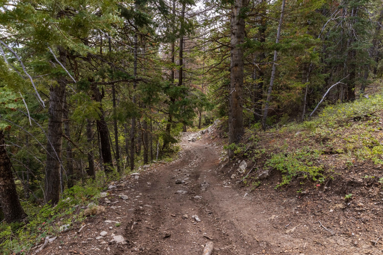
Beaver Creek - Mount Baldy
Total Miles
3.5
Tech Rating
Moderate
Best Time
Fall, Summer, Spring
Learn more about Beaver Creek Ridge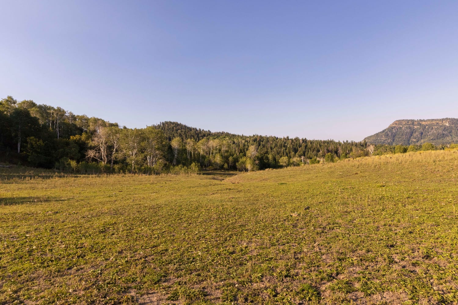
Beaver Creek Ridge
Total Miles
1.5
Tech Rating
Moderate
Best Time
Fall, Summer, Spring
Learn more about Beaver Creek Ridge Trail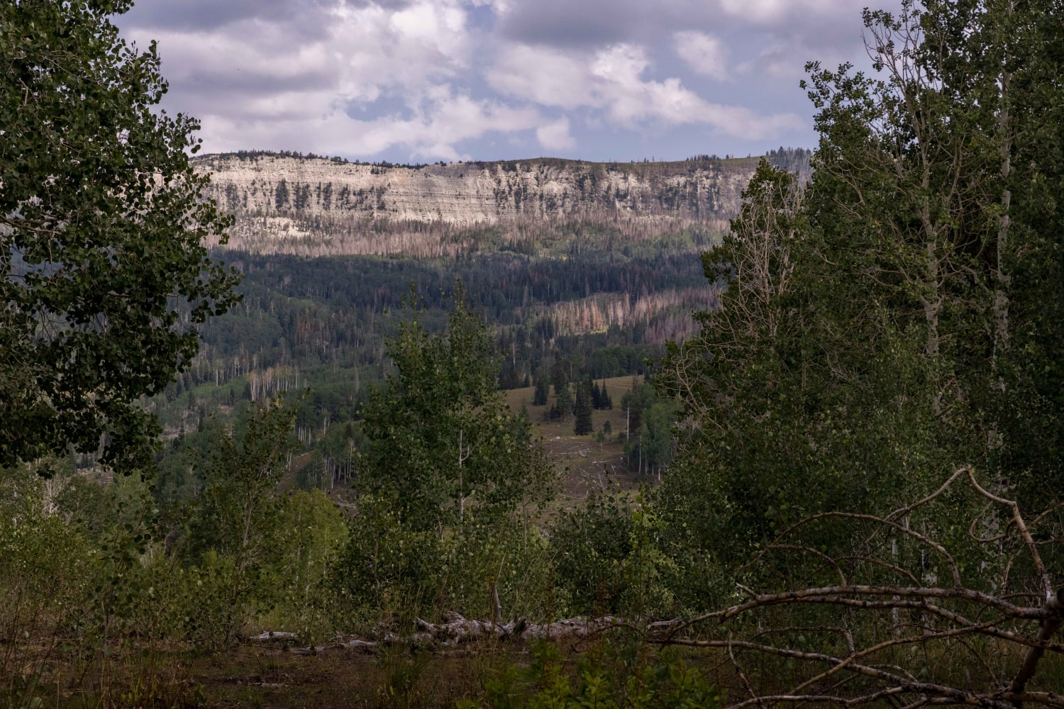
Beaver Creek Ridge Trail
Total Miles
3.4
Tech Rating
Moderate
Best Time
Fall, Summer, Spring
Learn more about Beaver Creek Road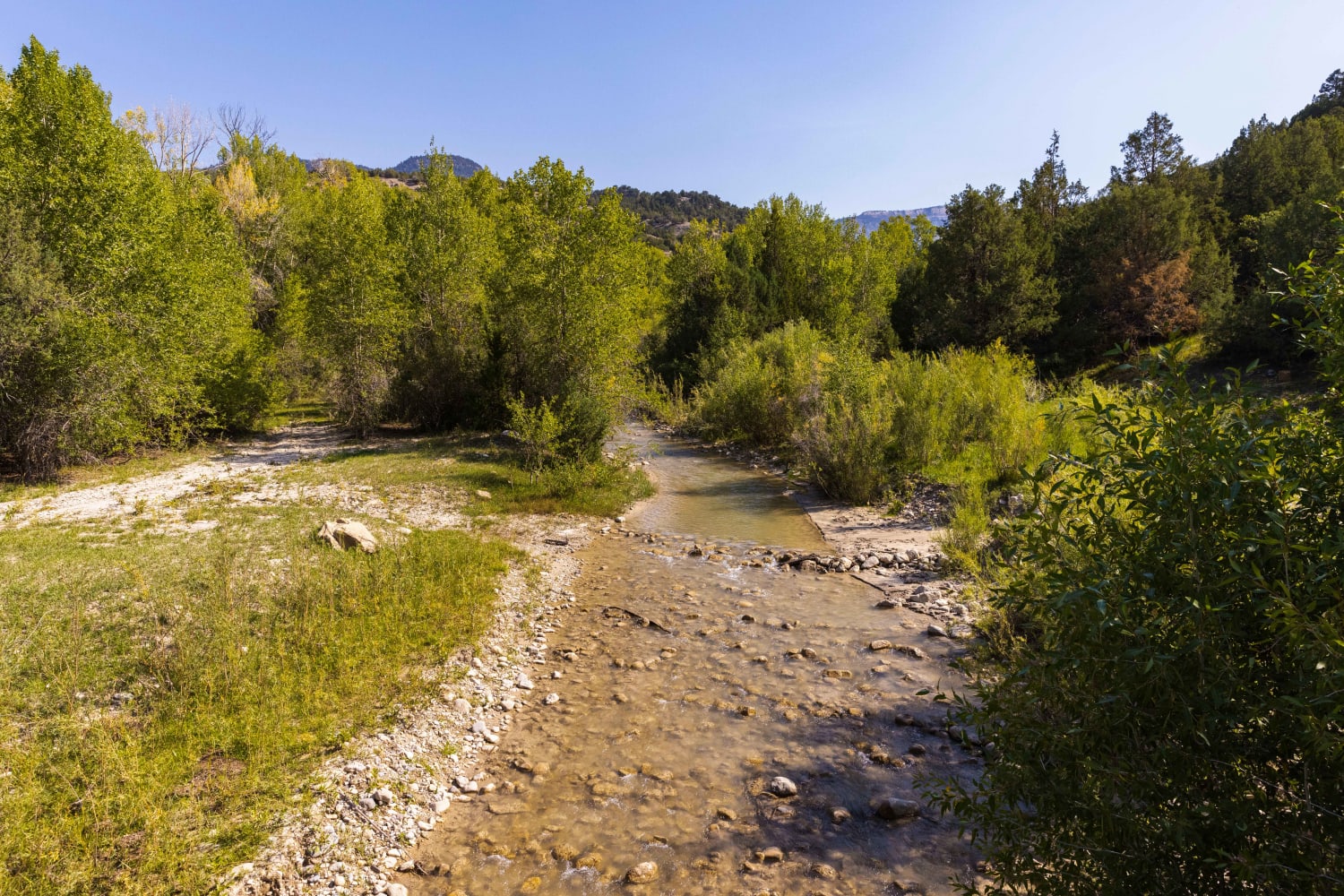
Beaver Creek Road
Total Miles
6.2
Tech Rating
Easy
Best Time
Spring, Summer, Fall
Learn more about Beaver Creek-Clear Creek Road
Beaver Creek-Clear Creek Road
Total Miles
2.6
Tech Rating
Moderate
Best Time
Fall, Summer, Spring
ATV trails in Utah

Learn more about 14 Mile Road
14 Mile Road
Total Miles
14.7
Tech Rating
Easy
Best Time
Spring, Summer, Fall, Winter


UTV/side-by-side trails in Utah
Learn more about 14 Mile Road
14 Mile Road
Total Miles
14.7
Tech Rating
Easy
Best Time
Spring, Summer, Fall, Winter
The onX Offroad Difference
onX Offroad combines trail photos, descriptions, difficulty ratings, width restrictions, seasonality, and more in a user-friendly interface. Available on all devices, with offline access and full compatibility with CarPlay and Android Auto. Discover what you’re missing today!