Arrowhead Trail
Total Miles
47.8
Technical Rating
Best Time
Fall, Summer, Spring, Winter
Trail Type
Full-Width Road
Accessible By
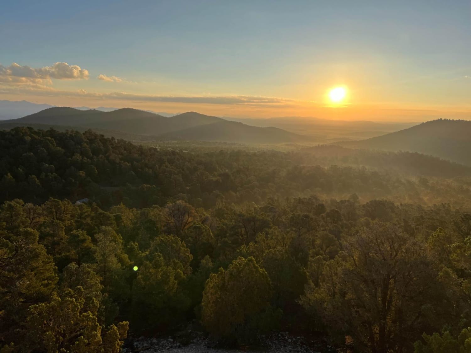
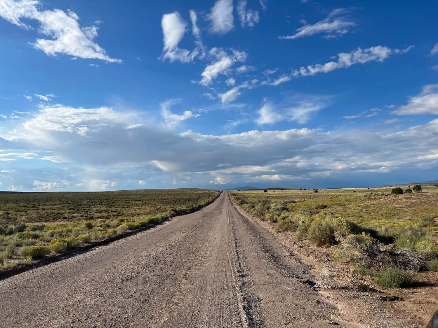
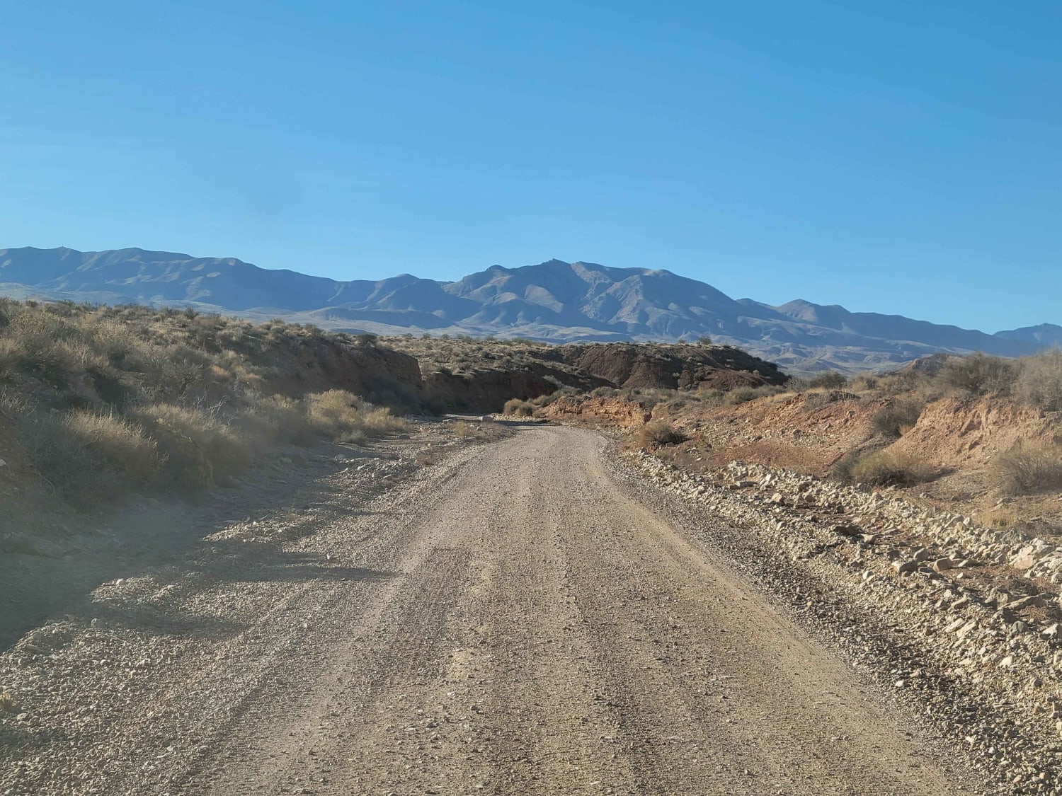
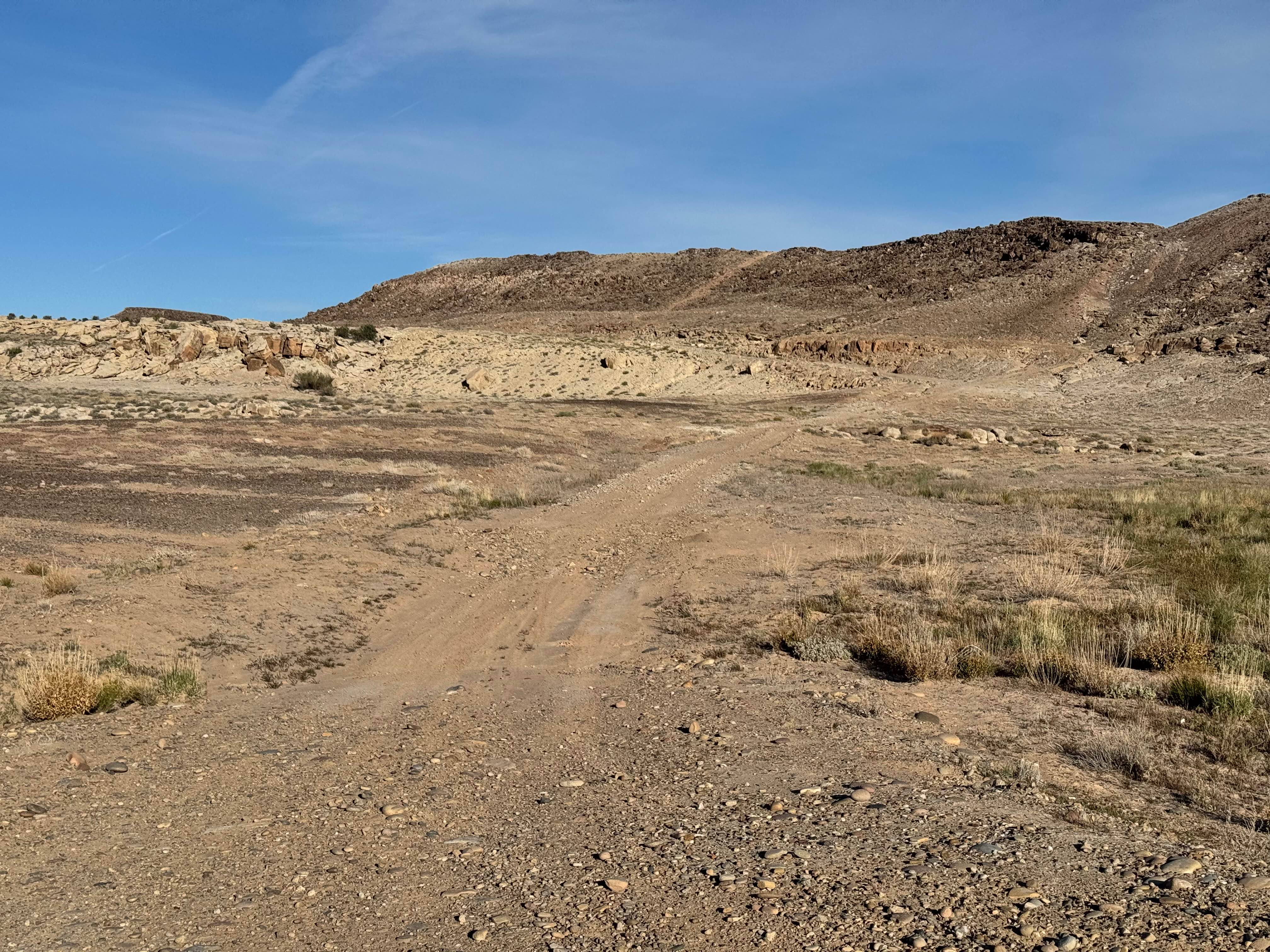
Trail Overview
This trail starts in the flat lands with beautiful desert scenery for miles around, with a two-lane maintained road but sand can be washed out by floods so always keep in mind weather conditions. The further you travel the more mountainous the terrain becomes, the last mile turns to a single-lane unmaintained trail with small washouts and steep grades. All in all a great trail.
Photos of Arrowhead Trail
Difficulty
bring a tow rope and a shovel roads can be very muddy after a storm. no cell service most of the way
Status Reports
Arrowhead Trail can be accessed by the following ride types:
- High-Clearance 4x4
- SUV
- SxS (60")
- ATV (50")
- Dirt Bike
Arrowhead Trail Map
Popular Trails
Hollow Washington Road


Keg Mountain Road
The onX Offroad Difference
onX Offroad combines trail photos, descriptions, difficulty ratings, width restrictions, seasonality, and more in a user-friendly interface. Available on all devices, with offline access and full compatibility with CarPlay and Android Auto. Discover what you’re missing today!