D3243
Total Miles
0.9
Technical Rating
Best Time
Spring, Summer, Fall, Winter
Trail Type
Full-Width Road
Accessible By
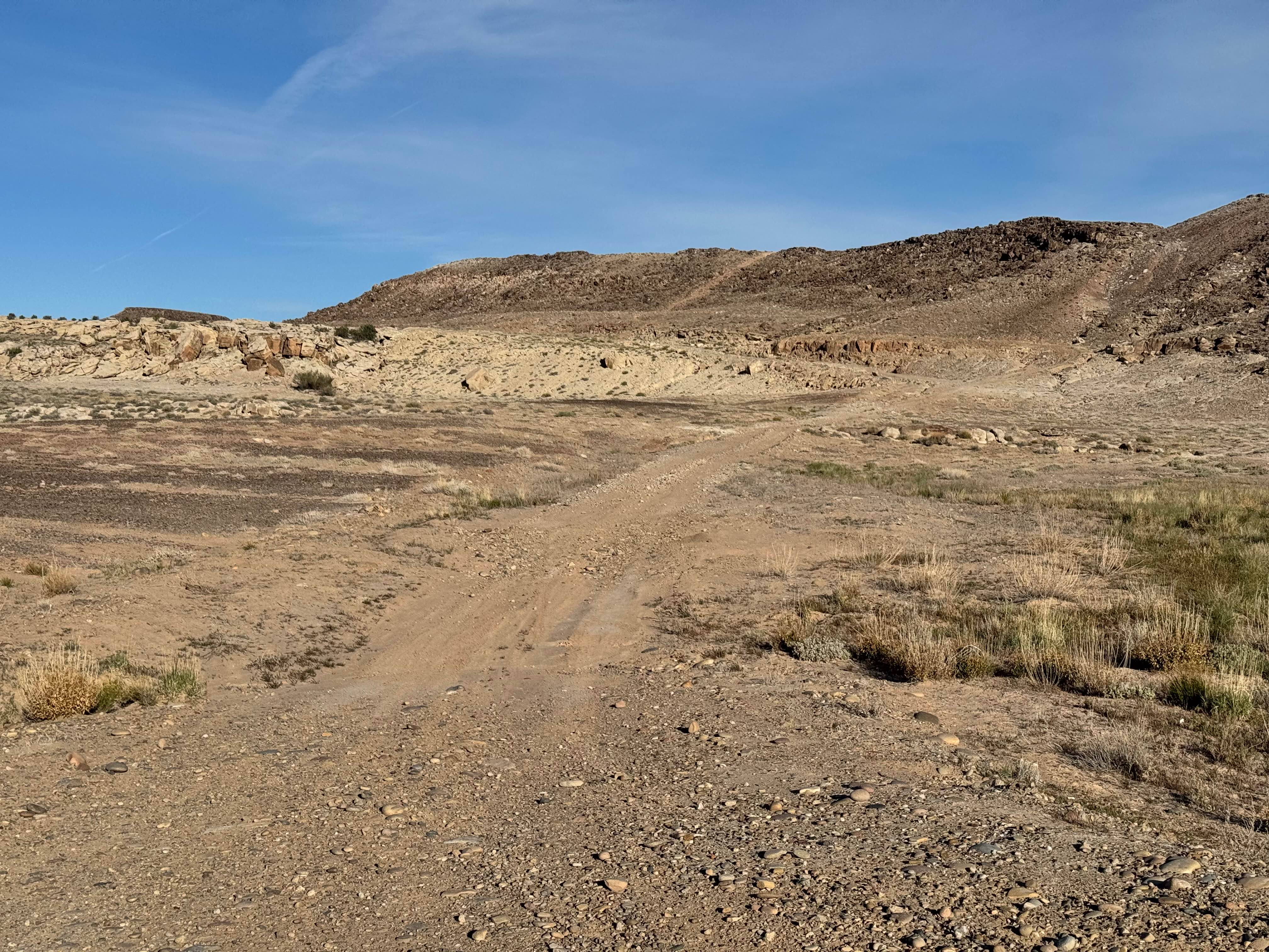
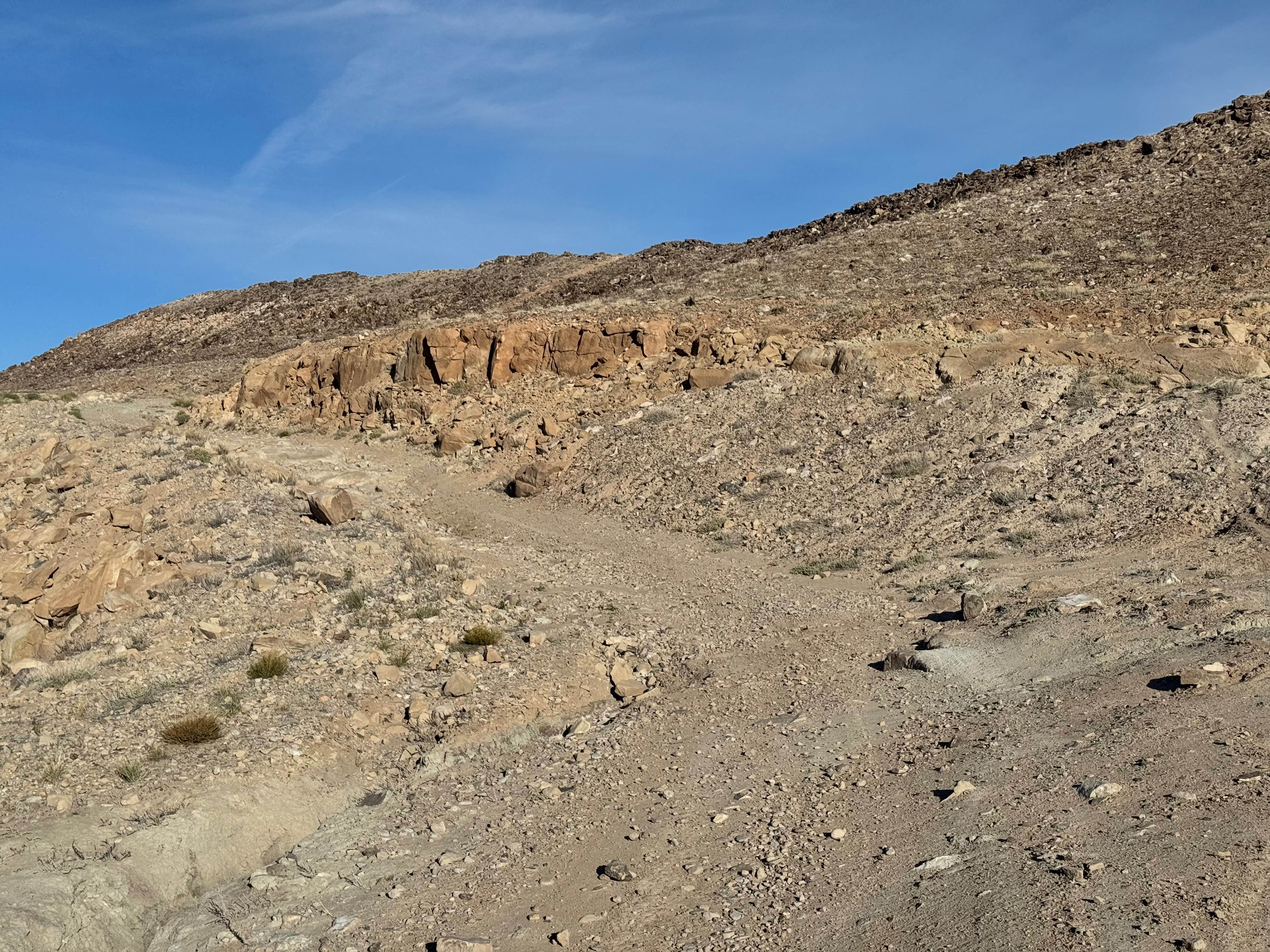
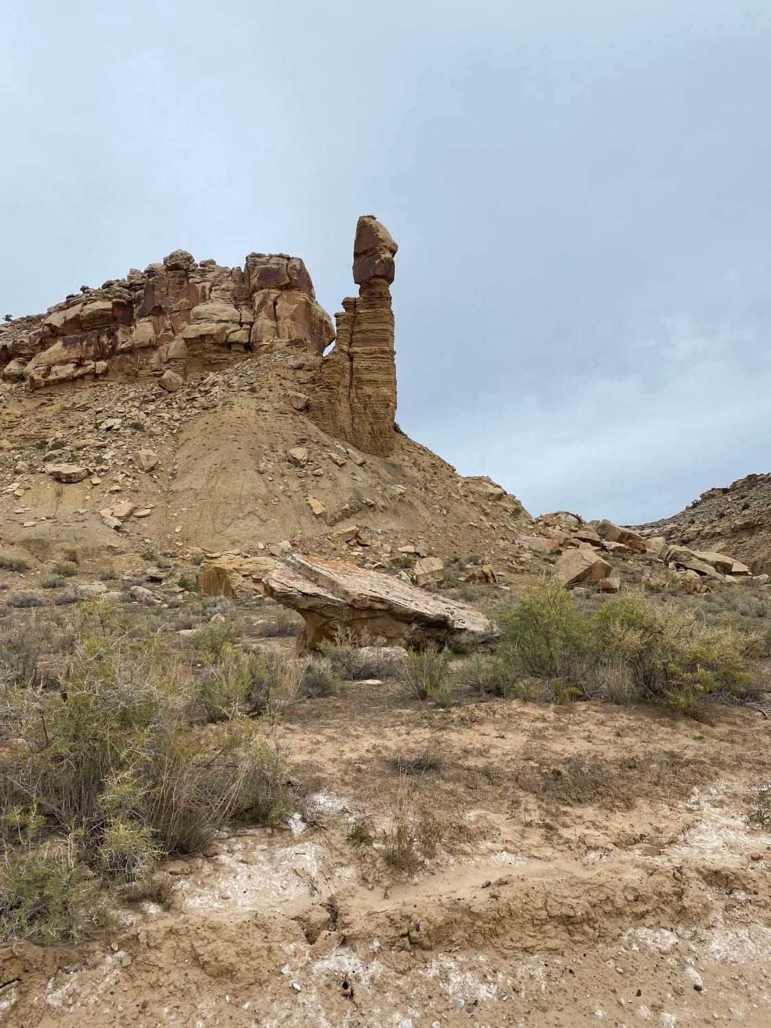
Trail Overview
This route is a rocky backcountry drive that stays engaging without relying on giant obstacles or extreme terrain. The trail surface is covered in smaller, loose, and embedded rock, creating a constant rough ride that rewards slower speeds and steady tire placement. While there are no major boulders or oversized ledges blocking the path, the continuous rocky surface makes a high clearance 4x4 the ideal vehicle choice for comfort and underbody protection. The route climbs up and over several rock formations, adding elevation changes and occasional breakover moments that keep the drive interesting. Along the higher sections, travelers are rewarded with broad views of the surrounding desert landscape, mesas, and open terrain. Another unique aspect of the route is its location near the outskirts of the former Green River Launch Complex, adding a layer of local history to the adventure. This is a solid choice for drivers who enjoy steady trail action, scenic overlooks, and a route with historical character.
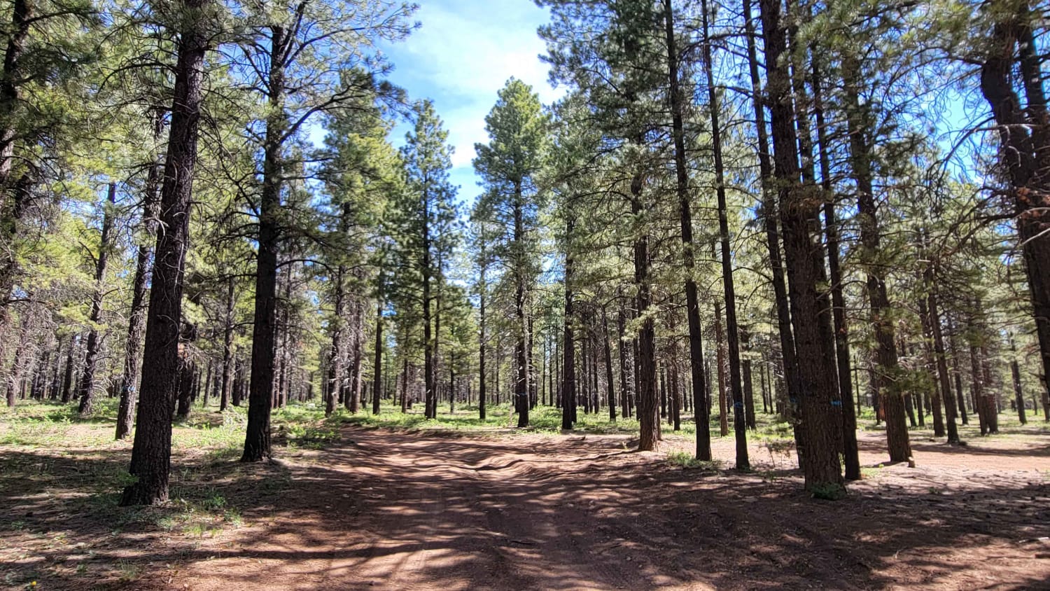
Photos of D3243
Difficulty
The main challenge on this route is the constant rocky surface rather than large individual obstacles. Repeated loose and embedded rocks, minor climbs over formations, and occasional breakover points require attention, but there are no major boulders or highly technical sections.
History
This region has a long history tied to ranching, river travel, mining, and early transportation routes across eastern Utah. Some trails follow historic travel corridors once used by settlers, ranchers, and traders. Nearby sites also connect to the Cold War-era Green River Launch Complex, adding another layer of history to the desert landscape.
Status Reports
D3243 can be accessed by the following ride types:
- High-Clearance 4x4
- SUV
- SxS (60")
- ATV (50")
- Dirt Bike
D3243 Map
Popular Trails
Loop Road Trail FR Rd 636
Crescent Canyon Shortcut
Turkey Track Loop - #17
The onX Offroad Difference
onX Offroad combines trail photos, descriptions, difficulty ratings, width restrictions, seasonality, and more in a user-friendly interface. Available on all devices, with offline access and full compatibility with CarPlay and Android Auto. Discover what you’re missing today!