Amasa ATV Route 1
Total Miles
18.9
Technical Rating
Best Time
Spring, Summer, Fall, Winter
Trail Type
High-Clearance 4x4 Trail
Accessible By
Trail Overview
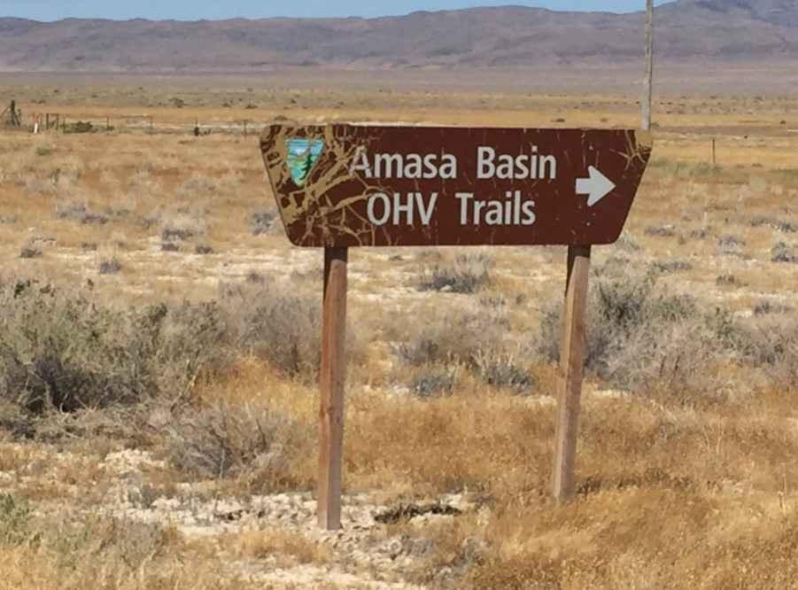
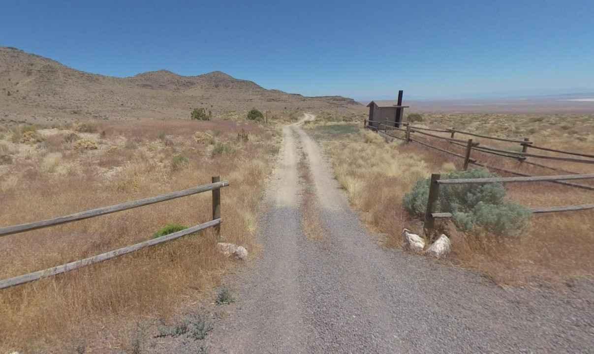
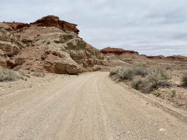
Amasa ATV Route 1 is a 19.1-mile point-to-point trail rated 3 of 10 located in Millard County, Utah. Route 1 is the longest of the 6 trails within the network. Route 1 starts in the parking area by going through the break in the fence. All trails within the network are accessed via Route 1 and most are less than a mile in length. Don't let the beginning of this trail fool you, it has it all. It may start out looking like a long desert scrub drive but this trail will take you through Juniper trees, Birch tree forests, grassy meadows, and past spire rock peaks. The 360-degree view from the top is well worth the drive. The Amasa Basin OHV trails are located in Millard County Utah approximately 51 miles west of Delta, with good parking located off Utah Highway 50. There are approximately 33 miles of trails and gravel roads in this trail system. It will take you all day to explore this system and it is well worth the trip. There is a large sinkhole that you can visit (Route 5) but please stay outside the fence. The ride is pleasant and scenic and trails vary from easy to difficult. Trust the trail ratings. The black trails are not for beginners. There are no services so stock up on anything you need before leaving Delta or Milford if you are coming from the south. This is a great place to get away and enjoy some solitude while exploring a seldom-seen part of Utah.
Photos of Amasa ATV Route 1
Difficulty
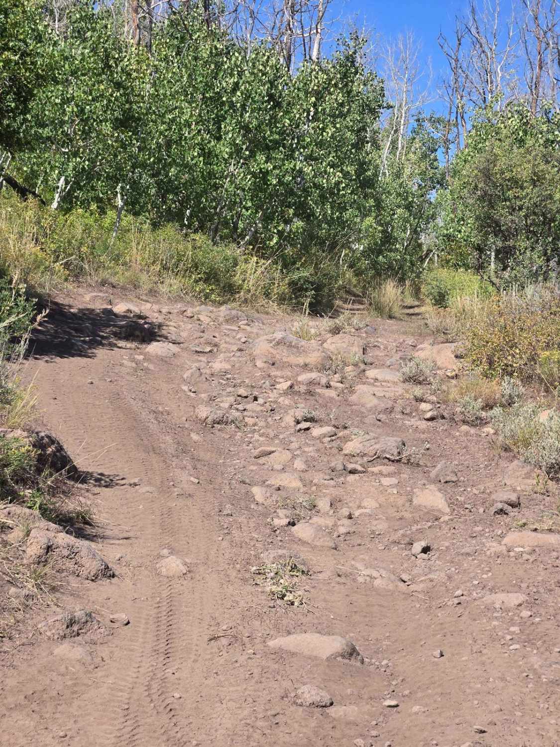
The trail consists of loose rocks, dirt, and sand with some slickrock surfaces, mud holes possible, and no steps higher than 12". 4WD may be required, aggressive tires are a plus.
Status Reports
Amasa ATV Route 1 can be accessed by the following ride types:
- High-Clearance 4x4
- SxS (60")
- ATV (50")
- Dirt Bike
Amasa ATV Route 1 Map
Popular Trails
Mushroom Connector
Devils Canyon Wilderness Trail
Yellowstone ATV Trail
The onX Offroad Difference
onX Offroad combines trail photos, descriptions, difficulty ratings, width restrictions, seasonality, and more in a user-friendly interface. Available on all devices, with offline access and full compatibility with CarPlay and Android Auto. Discover what you’re missing today!
