A Ridgeline Romp
Total Miles
2.0
Technical Rating
Best Time
Fall, Spring
Trail Type
High-Clearance 4x4 Trail
Accessible By
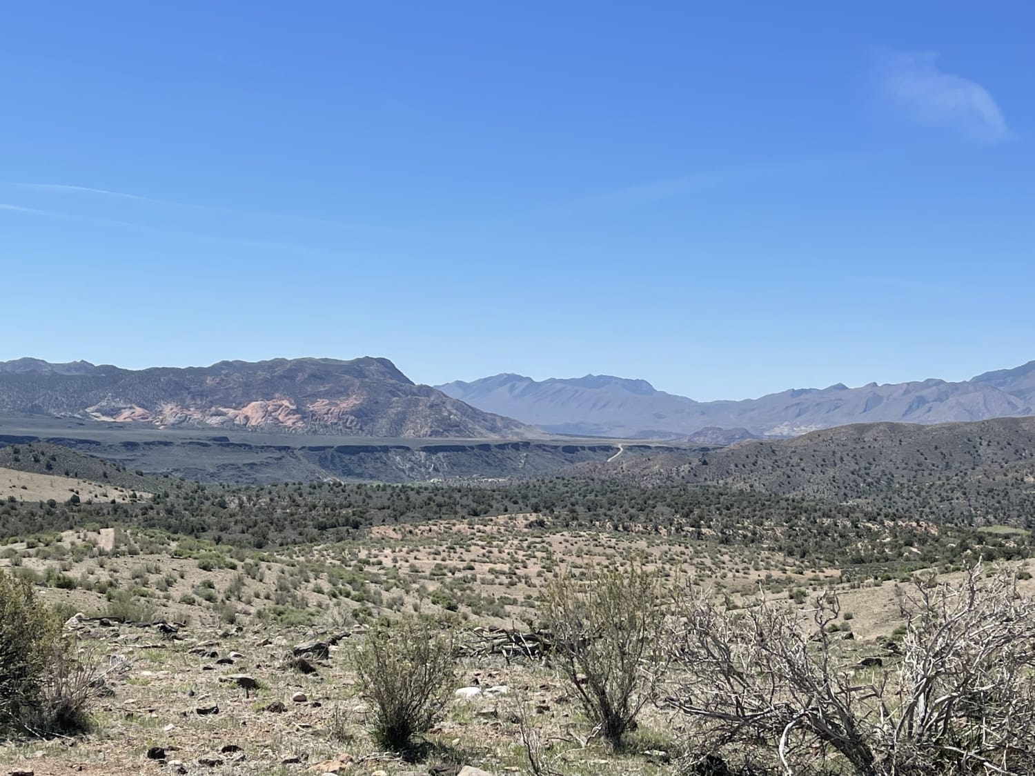
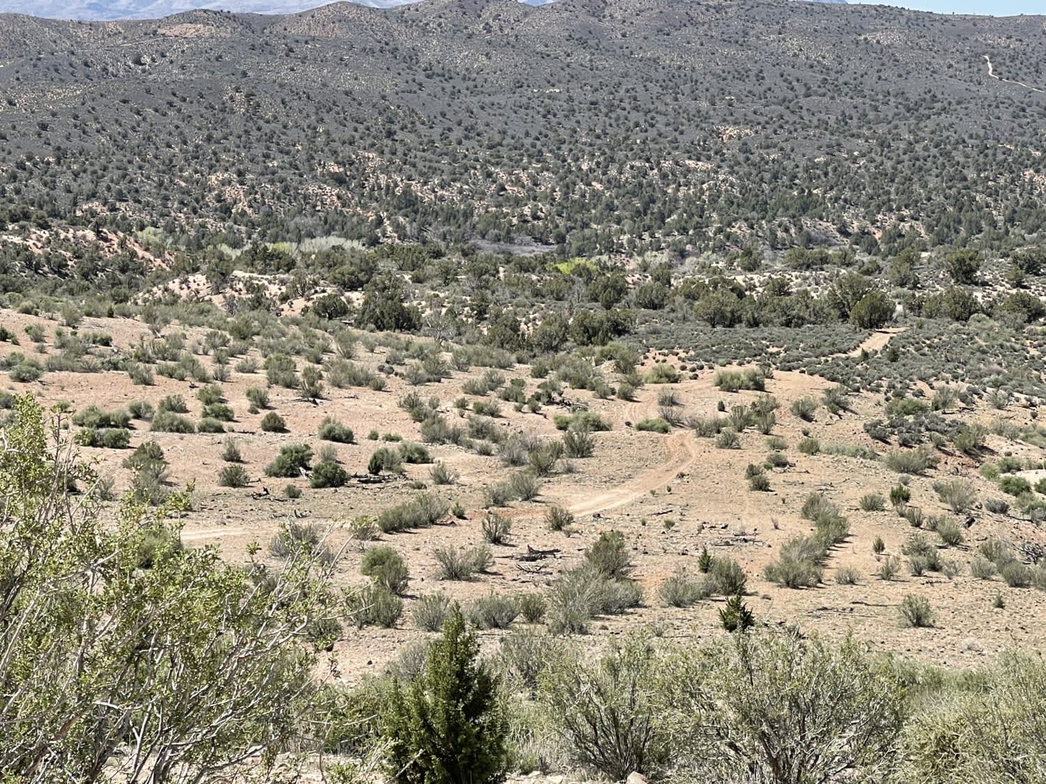
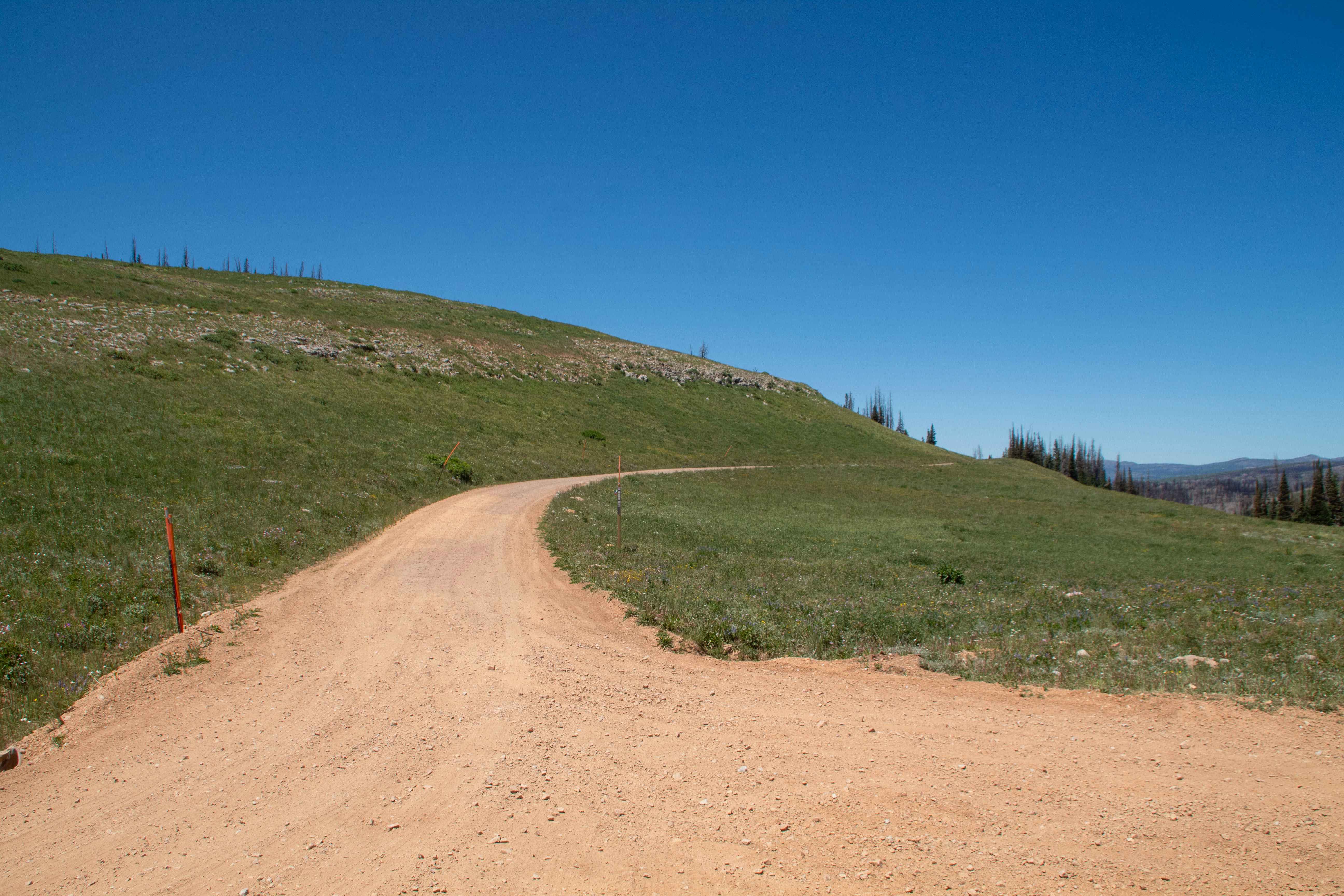
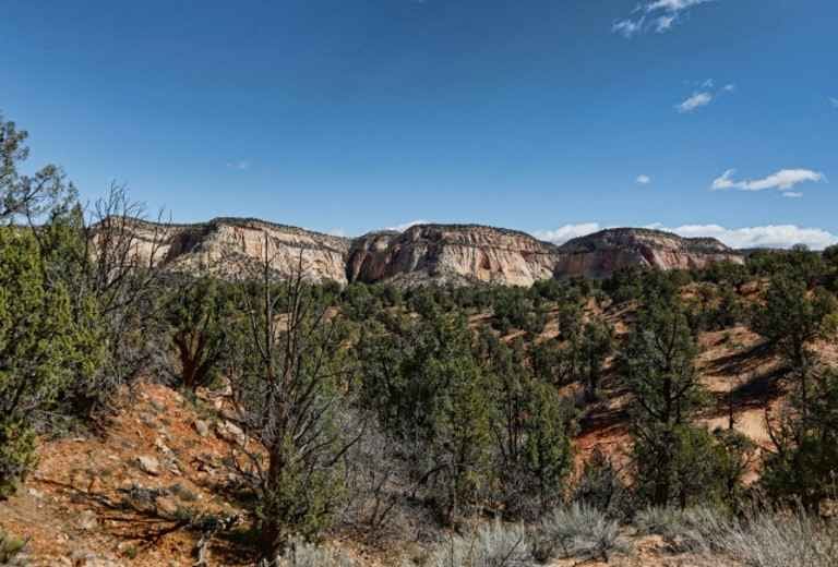
Trail Overview
This stunning two-track trail runs along the Ridgeline to the valley below. For the best views, it's recommended to take it from top to bottom. There are a few flat spots for camping. However, no fire rings were noticed except near the bottom in these spots. There are rocky sections and small off-camber sections: two short shelves and a few loose rocky descents. The trail gets narrow in some parts near the bottom so expect potential paint damage. Three bars of LTE cell service fades to one at the bottom of the valley.
Photos of A Ridgeline Romp
Difficulty
Mostly easy, the ledges are a bit more challenging, especially if the trail is taken uphill vs downhill.
Status Reports
A Ridgeline Romp can be accessed by the following ride types:
- High-Clearance 4x4
- SxS (60")
- ATV (50")
- Dirt Bike
A Ridgeline Romp Map
Popular Trails

Fisher Tower Viewpoint

Davenport Hollow Road
Upper Barracks Trail-BLM20
The onX Offroad Difference
onX Offroad combines trail photos, descriptions, difficulty ratings, width restrictions, seasonality, and more in a user-friendly interface. Available on all devices, with offline access and full compatibility with CarPlay and Android Auto. Discover what you’re missing today!