Arches via Salt Valley Road
Total Miles
9.3
Technical Rating
Best Time
Summer, Fall, Spring
Trail Type
Full-Width Road
Accessible By
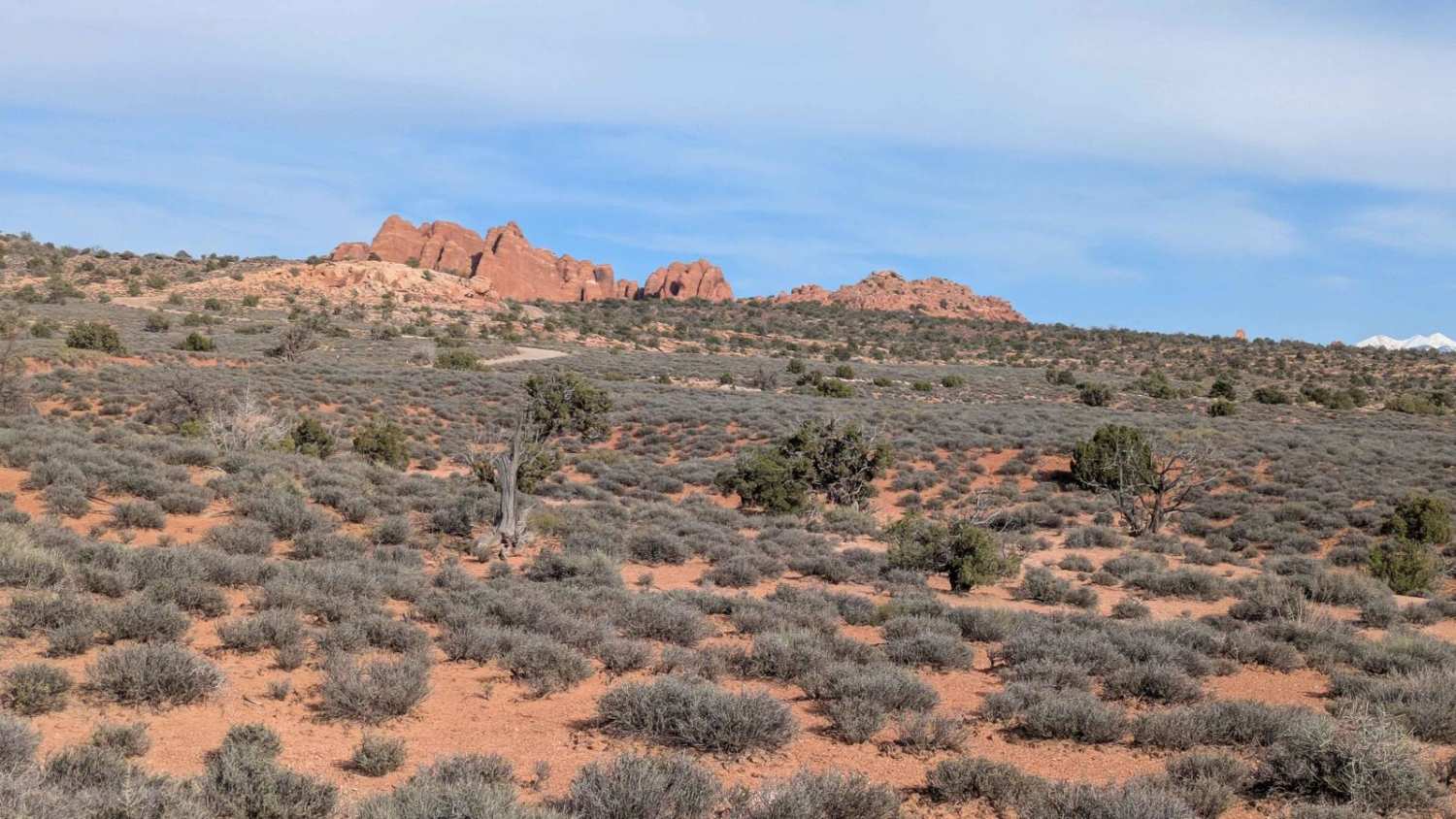
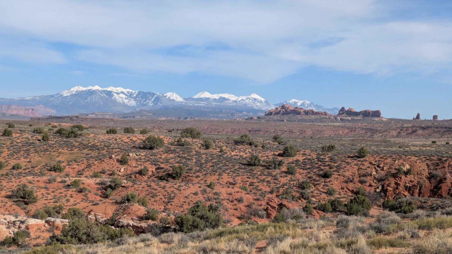
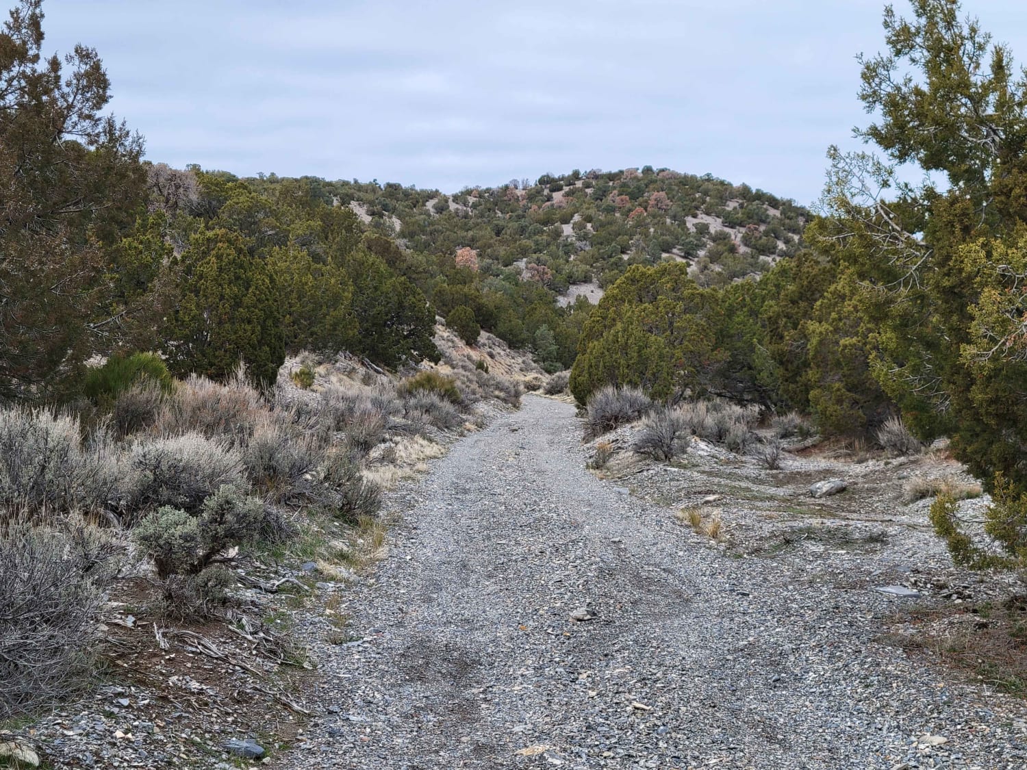
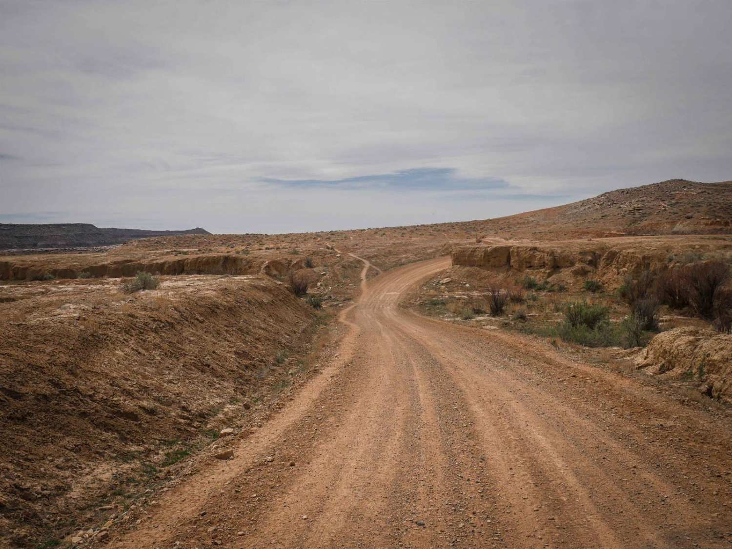
Trail Overview
This trail is within the boundaries of Arches National Park. A Park pass is required and can sometimes be closed by a gate at both ends. It winds through Salt Valley as it descends just over 300 feet over almost seven miles. Then climbs almost 500 feet in just under 2.5 miles up to Main Park Road. Depending on the time of the year, this gravel trail can be graded at times. It can be impassible when wet. The views are spectacular as you climb up to the Main Park Road.
Photos of Arches via Salt Valley Road
Difficulty
Uneven and rutted areas can be present during certain times of the year. It can also be impassable when wet.
Status Reports
Arches via Salt Valley Road can be accessed by the following ride types:
- High-Clearance 4x4
- SUV
Arches via Salt Valley Road Map
Popular Trails
Dip Gulch Road
Spiral Jetty Lookout
Blue Hills Road

Coal Wash North
The onX Offroad Difference
onX Offroad combines trail photos, descriptions, difficulty ratings, width restrictions, seasonality, and more in a user-friendly interface. Available on all devices, with offline access and full compatibility with CarPlay and Android Auto. Discover what you’re missing today!