Bennie Creek - FS 8071
Total Miles
2.4
Technical Rating
Best Time
Summer, Fall
Trail Type
Single Track
Accessible By
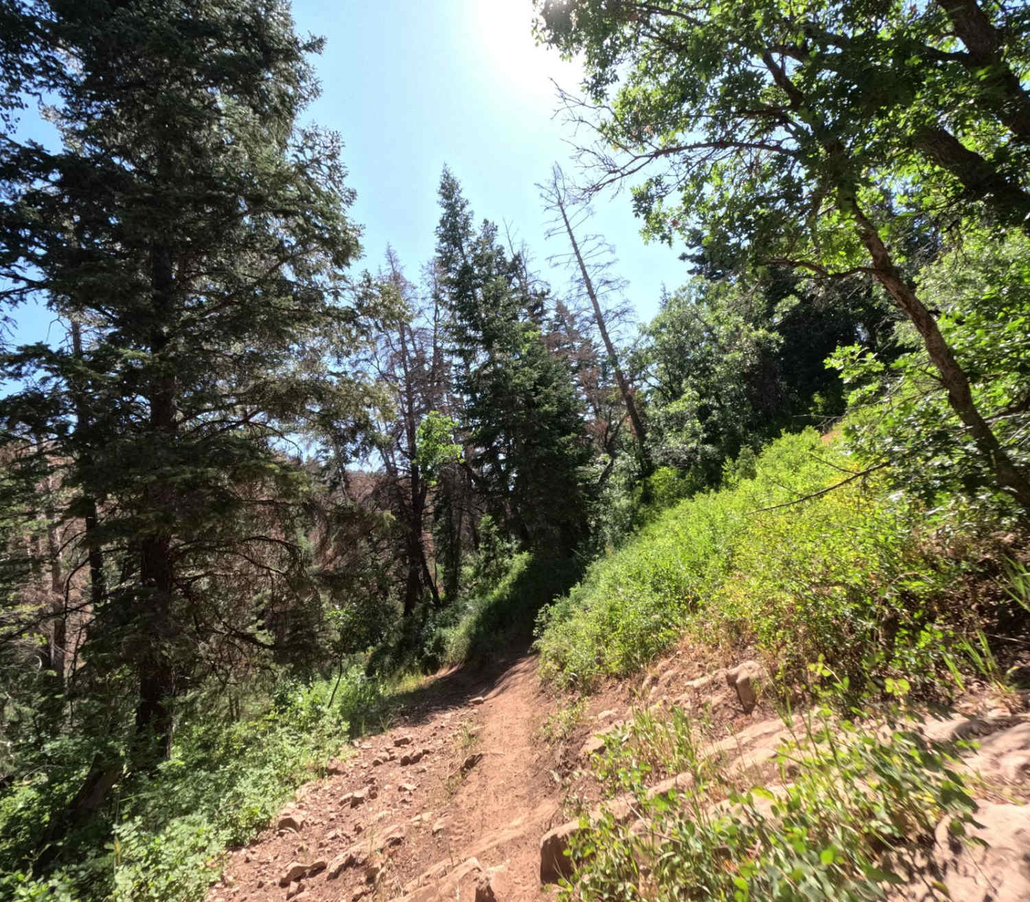
Trail Overview
Bennie Creek is a 2.5-mile trail, which is part of the Payson/Mount Nebo trail system. It begins at a 3-way intersection with Loafer Mountain singletrack and hiking trails and heads west. The trail is entirely downhill when ridden in this direction. It terminates at FS 015 (paved road). This is a shared trail with hikers and mountain bikers, and bikers are frequently using the bottom half. This section is more overgrown, with tighter blind turns and a few switchbacks. It's hard to get speed in this part with how tight the trail is and all the turns. Despite this, the trail is still more fun to ride down (west) than up (east). The ground surface is packed dirt with a lot of dust on top.
Photos of Bennie Creek - FS 8071

Difficulty
This is a tight track with blind corners and switchbacks, which increases the rating of this trail.
Status Reports
Bennie Creek - FS 8071 can be accessed by the following ride types:
- Dirt Bike
Bennie Creek - FS 8071 Map
Popular Trails
Hartnett/Cathedral Connector
UM Pass Trail

14 Mile Road
Tabby's Canyon
The onX Offroad Difference
onX Offroad combines trail photos, descriptions, difficulty ratings, width restrictions, seasonality, and more in a user-friendly interface. Available on all devices, with offline access and full compatibility with CarPlay and Android Auto. Discover what you’re missing today!