Billingsly Trail
Total Miles
2.3
Technical Rating
Best Time
Fall, Summer
Trail Type
Full-Width Road
Accessible By
Trail Overview
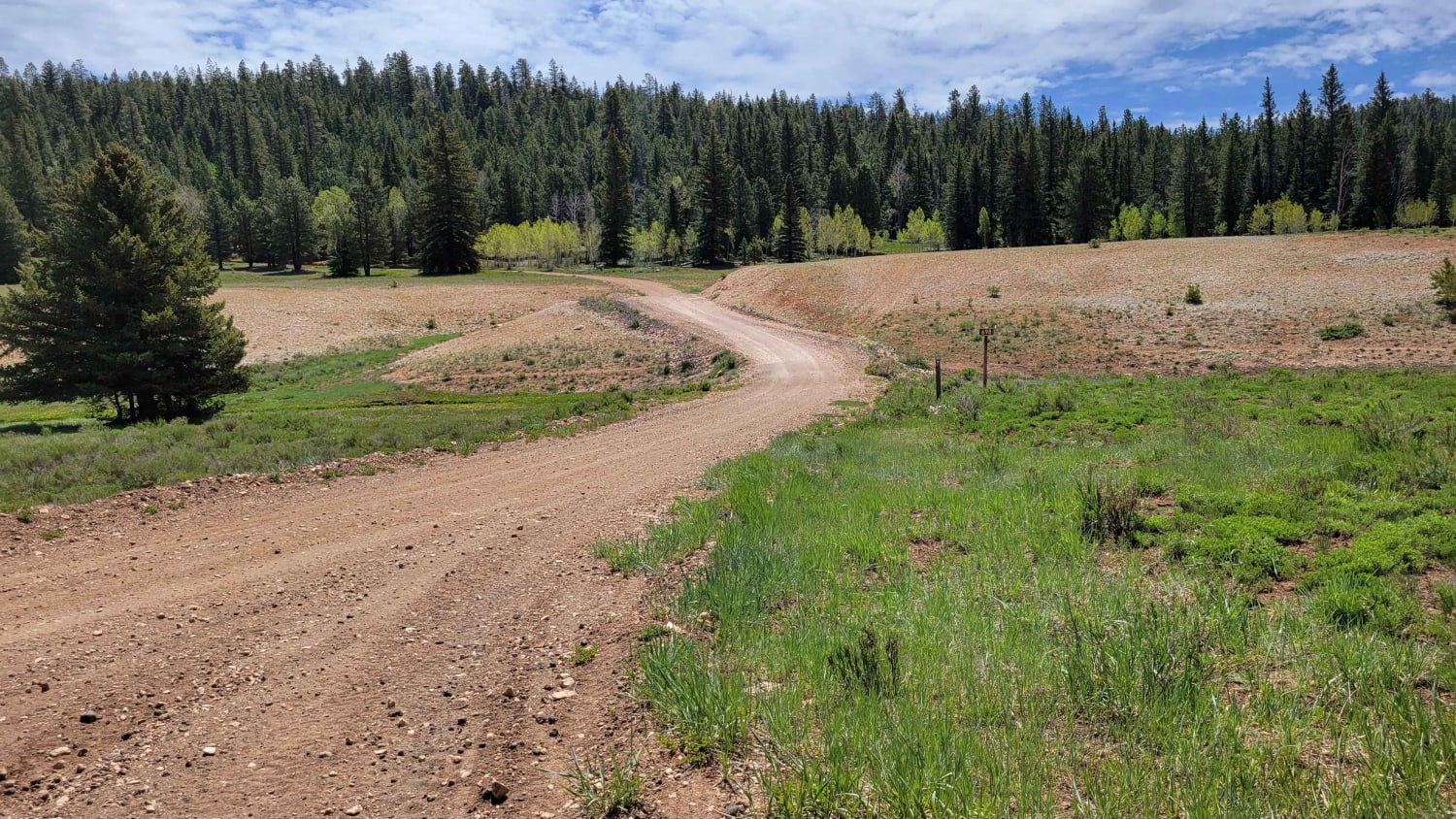
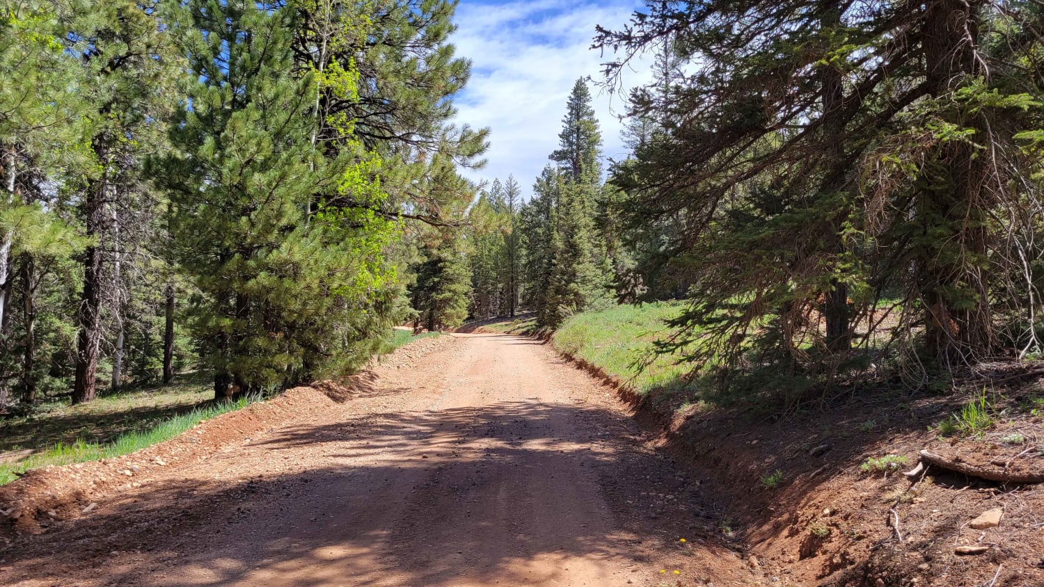
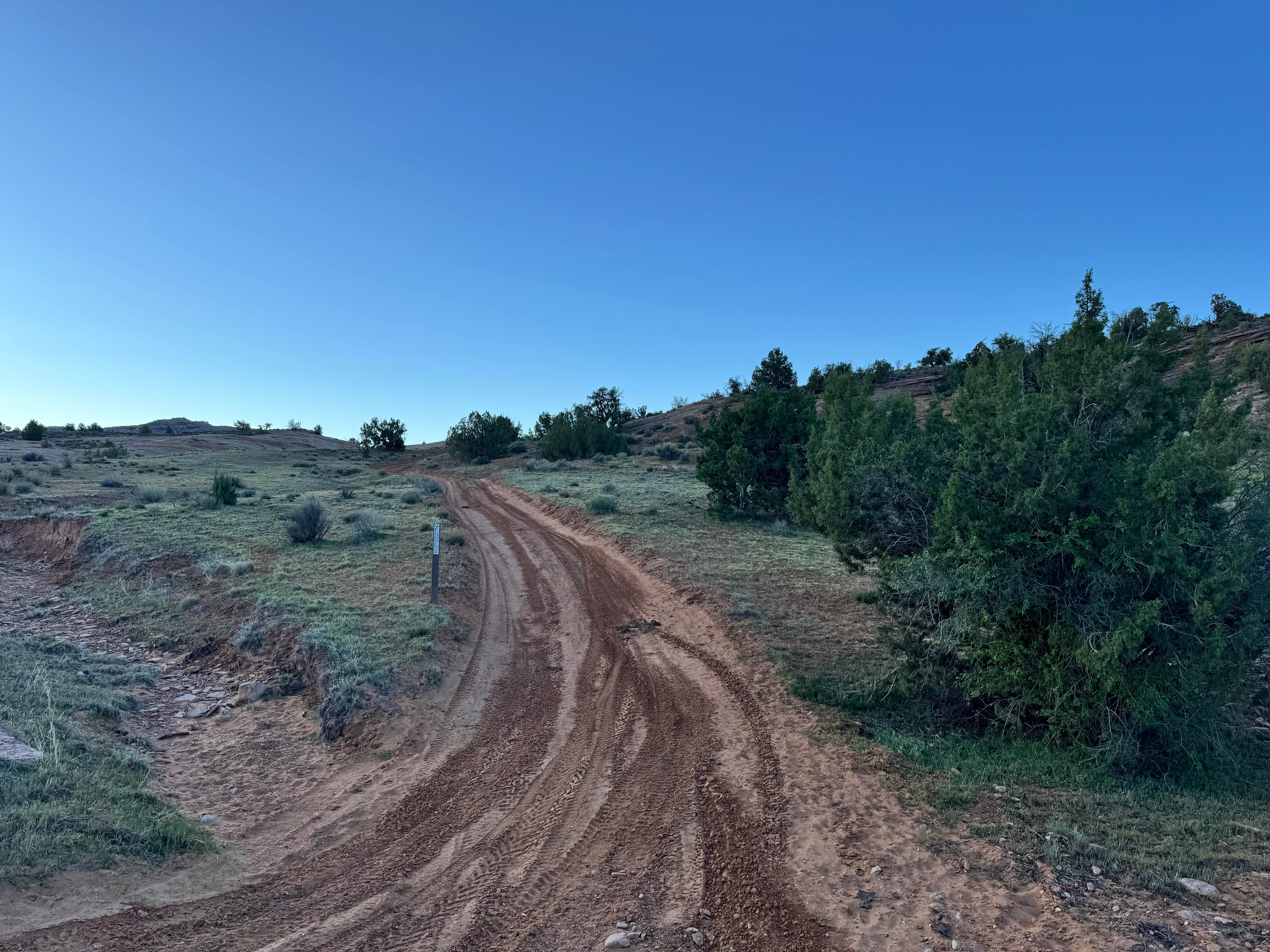
This quick, easy trail connects Harris Rim and Swains Creek, going up/down the side of the mountain ridge. Open to all sizes of vehicles. There is nothing of difficulty to note about this short route. Keep an eye out for fallen trees/debris on the trail. Trail #67 of the Markagunt OHV System.
Photos of Billingsly Trail
Difficulty
There is nothing of difficulty to note about this short route.
Status Reports
Billingsly Trail can be accessed by the following ride types:
- High-Clearance 4x4
- SUV
- SxS (60")
- ATV (50")
- Dirt Bike
Billingsly Trail Map
Popular Trails

Trout Cr (FR 70084)
Pass Road-Beaver County 3
Power Pole Rim

Sky Ranch Overlook
The onX Offroad Difference
onX Offroad combines trail photos, descriptions, difficulty ratings, width restrictions, seasonality, and more in a user-friendly interface. Available on all devices, with offline access and full compatibility with CarPlay and Android Auto. Discover what you’re missing today!