Brushy Basin
Total Miles
0.4
Technical Rating
Best Time
Spring, Fall, Winter
Trail Type
Single Track
Accessible By
Trail Overview
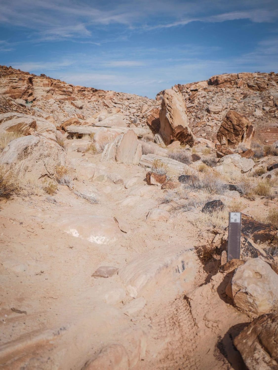
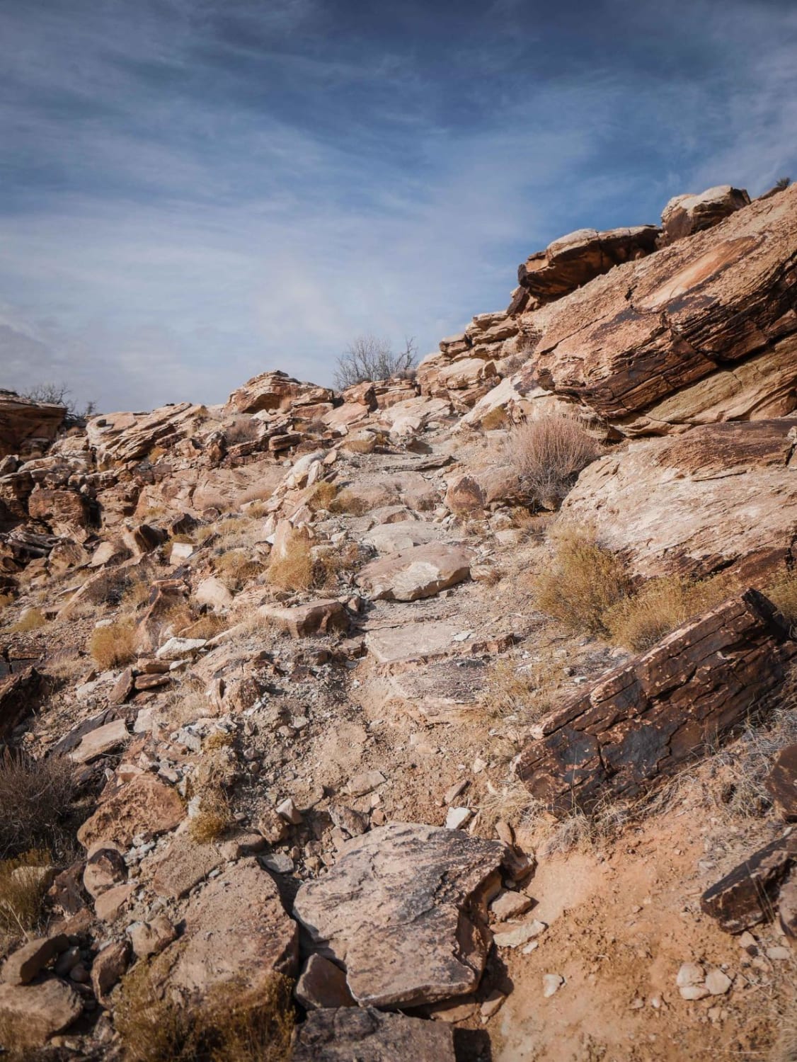
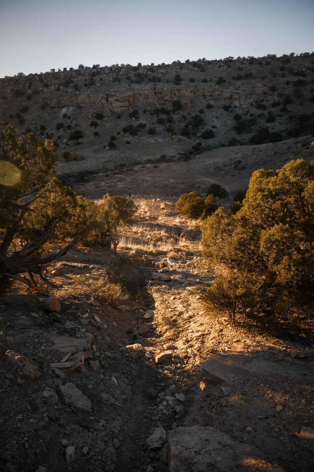
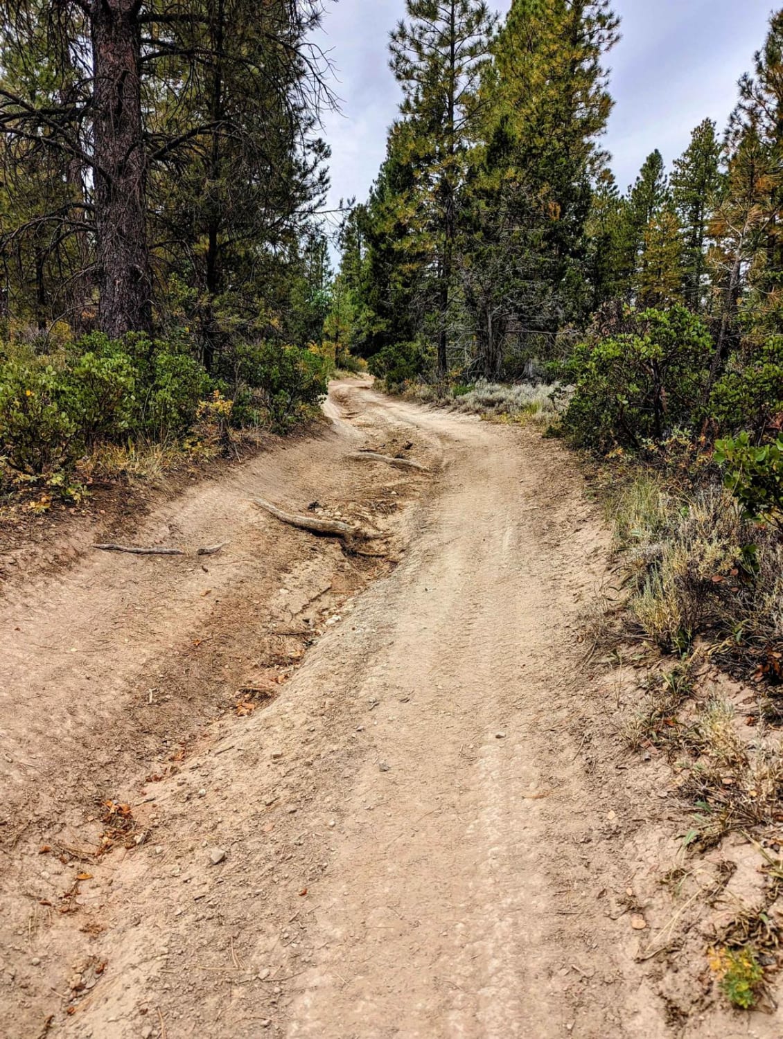
Brushy Basin is a half-mile single track that connects Dalton Wells Road to the Sovereign Singletrack. Take the Dalton Well-Brushy Basin Connector north to get to the southern end of the trail. It winds north for a half mile through a desert landscape full of big rocks, between big boulders, and along the rim of rolling mesas. There are rock pinches and rocks lining the trail that you need to watch your feet on, as well as spots of exposure. It's a mix of dirt and slab slickrock. It gets up on top of the mesa with a couple of rocky climbs near the edge, but there are no huge ledges or giant obstacles. It ends at the intersection with the Sovereign Single Track (Cedar Mountain).
Photos of Brushy Basin
Difficulty
This is a short intermediate single track with small rock ledges, rock pinches, and spots of exposure.
Status Reports
Brushy Basin can be accessed by the following ride types:
- Dirt Bike
Brushy Basin Map
Popular Trails
Overlook Trail Part 2
Interstate 80 Overlook
Englestead Trailhead
Salamander Flat (2150)
The onX Offroad Difference
onX Offroad combines trail photos, descriptions, difficulty ratings, width restrictions, seasonality, and more in a user-friendly interface. Available on all devices, with offline access and full compatibility with CarPlay and Android Auto. Discover what you’re missing today!