Buckmaster Draw
Total Miles
4.2
Technical Rating
Best Time
Spring, Summer, Fall, Winter
Trail Type
Full-Width Road
Accessible By
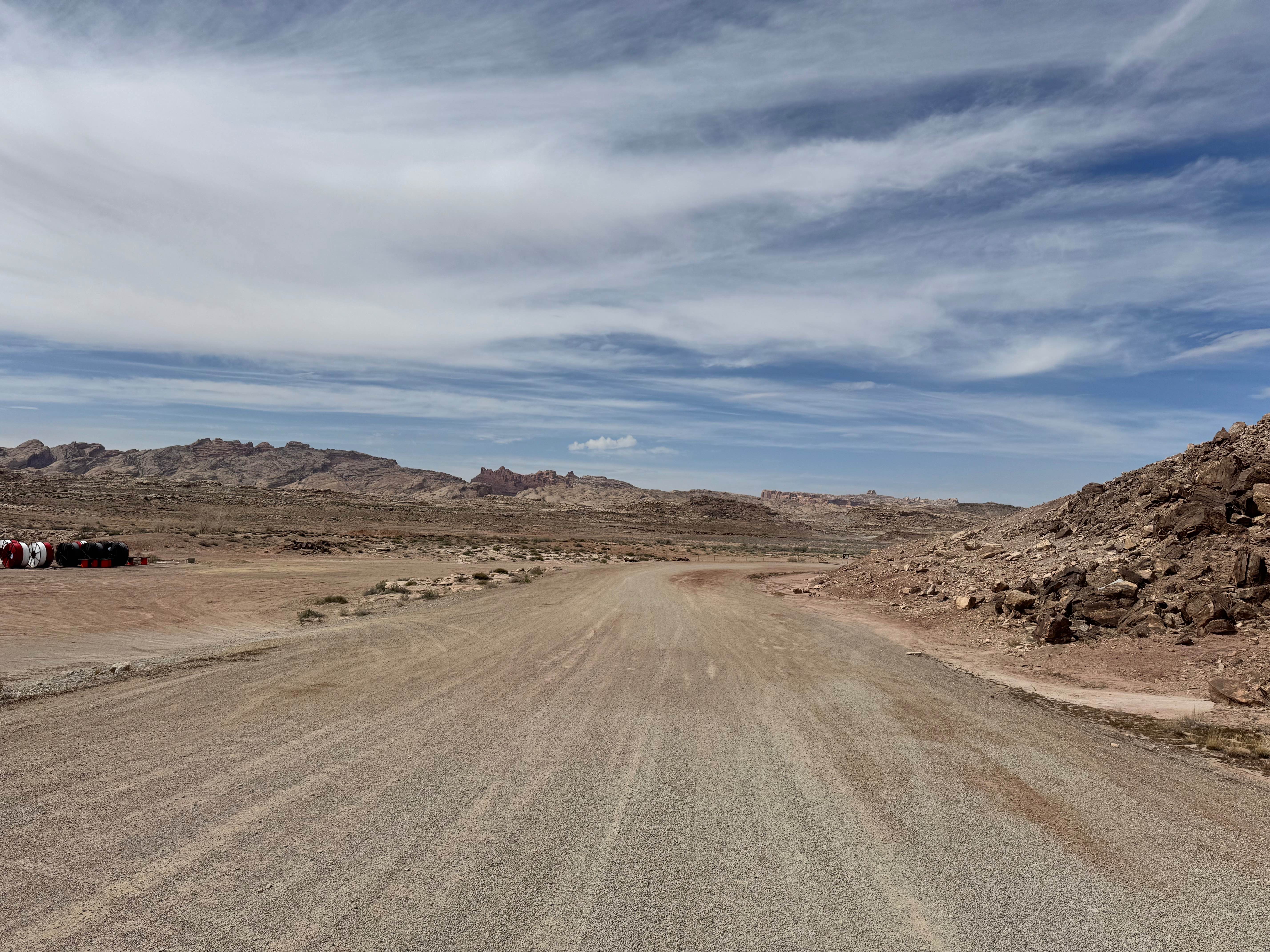
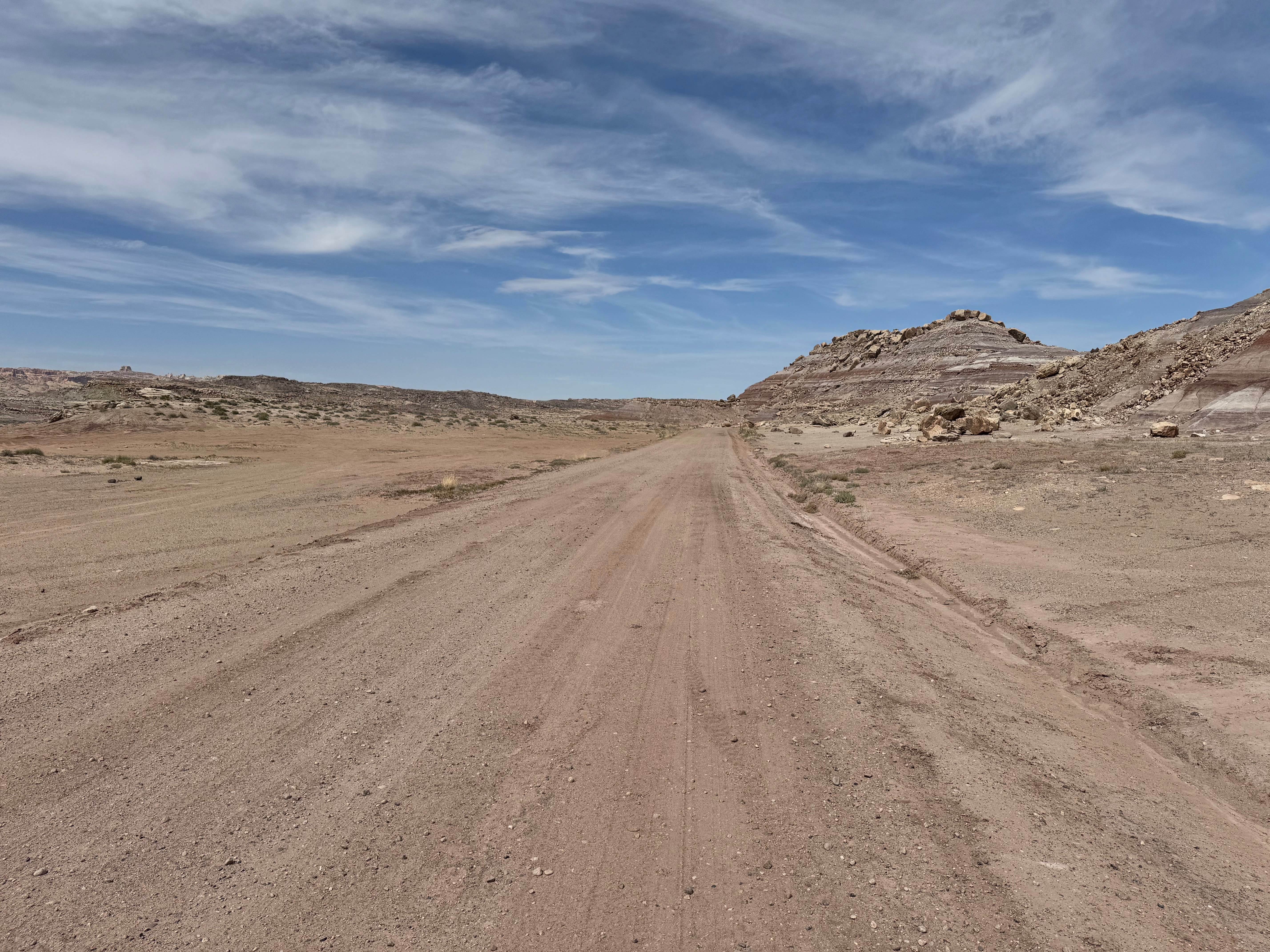
Trail Overview
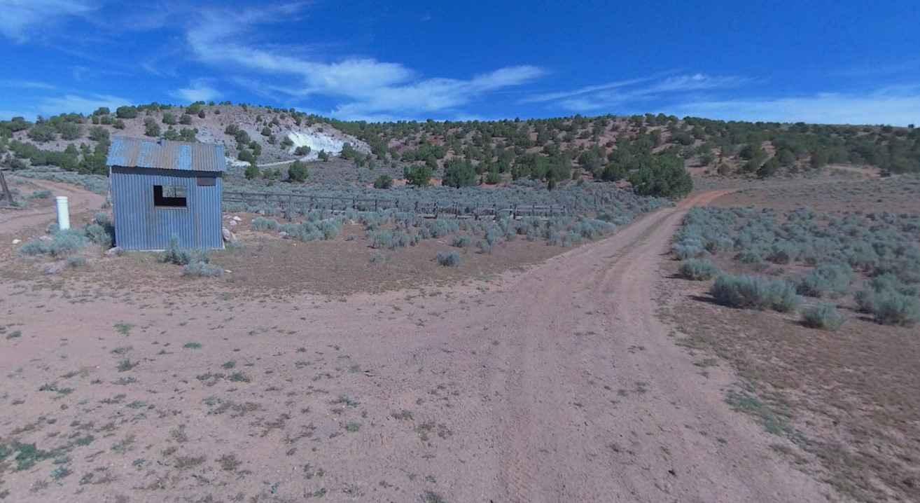
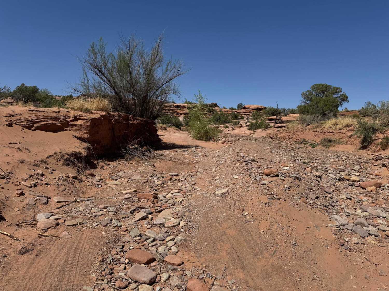
Buckmaster Draw is an easy, graded gravel route that offers a relaxing drive through one of the most colorful landscapes in the San Rafael Swell. Suitable for nearly all vehicle types in dry conditions, this road begins across a broad, flat desert plain before gradually descending into a dramatic canyon country setting. Along the way, the surrounding cliffs reveal layers of vivid mineral staining and multicolored rock bands that make this route especially scenic. The area is rich with mining history, and attentive travelers can still spot old claims (be aware of live explosives in the area), scattered remnants, and an aging storage hut near the roadside. Several free and easily accessible BLM campsites are located along the route, making it a great option for a casual day trip, overnight stay, or quiet basecamp while exploring the surrounding region.
Photos of Buckmaster Draw
Difficulty
A smooth, graded gravel road suitable for most stock SUVs, crossovers, vans, trucks, and passenger vehicles in dry weather. No major obstacles, ledges, or technical sections are present. The main considerations are loose gravel, occasional washboards, dust, and changing conditions after rain. Low clearance vehicles should still use caution around potholes or minor erosion.
History
This area was shaped by historic mining claims tied to the mineral-rich geology of the San Rafael region. The colorful cliffs and layered rock tell the story of ancient sediment deposits, while scattered remnants along the road reflect the boom-and-bust era of small desert mining operations.
Status Reports
Buckmaster Draw can be accessed by the following ride types:
- High-Clearance 4x4
- SUV
- SxS (60")
- ATV (50")
- Dirt Bike
Buckmaster Draw Map
Popular Trails
Buck Camp Hollow - FS 70439

Slow Elk Road-JC8122901
North Spur Sand Well Loop
Dry Fork Bull Canyon
The onX Offroad Difference
onX Offroad combines trail photos, descriptions, difficulty ratings, width restrictions, seasonality, and more in a user-friendly interface. Available on all devices, with offline access and full compatibility with CarPlay and Android Auto. Discover what you’re missing today!