Bruin Point
Total Miles
5.4
Technical Rating
Best Time
Spring, Summer, Fall
Trail Type
Full-Width Road
Accessible By
Trail Overview
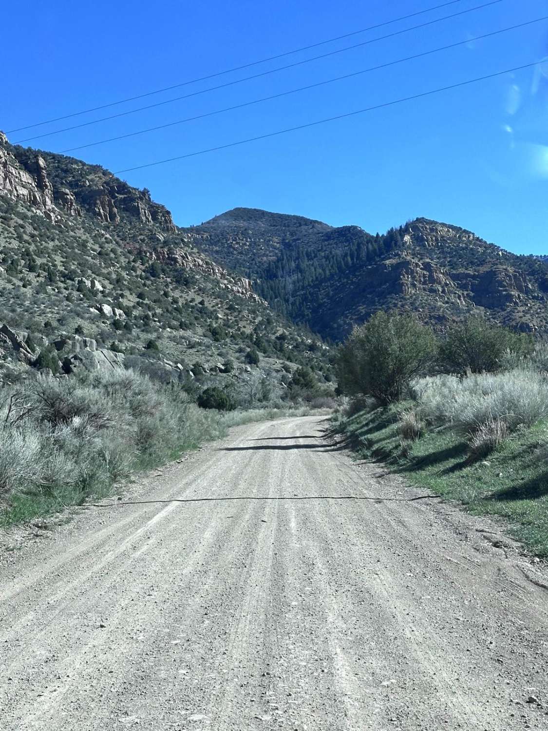
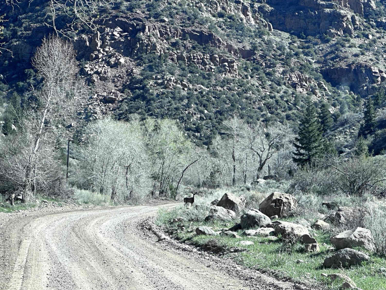
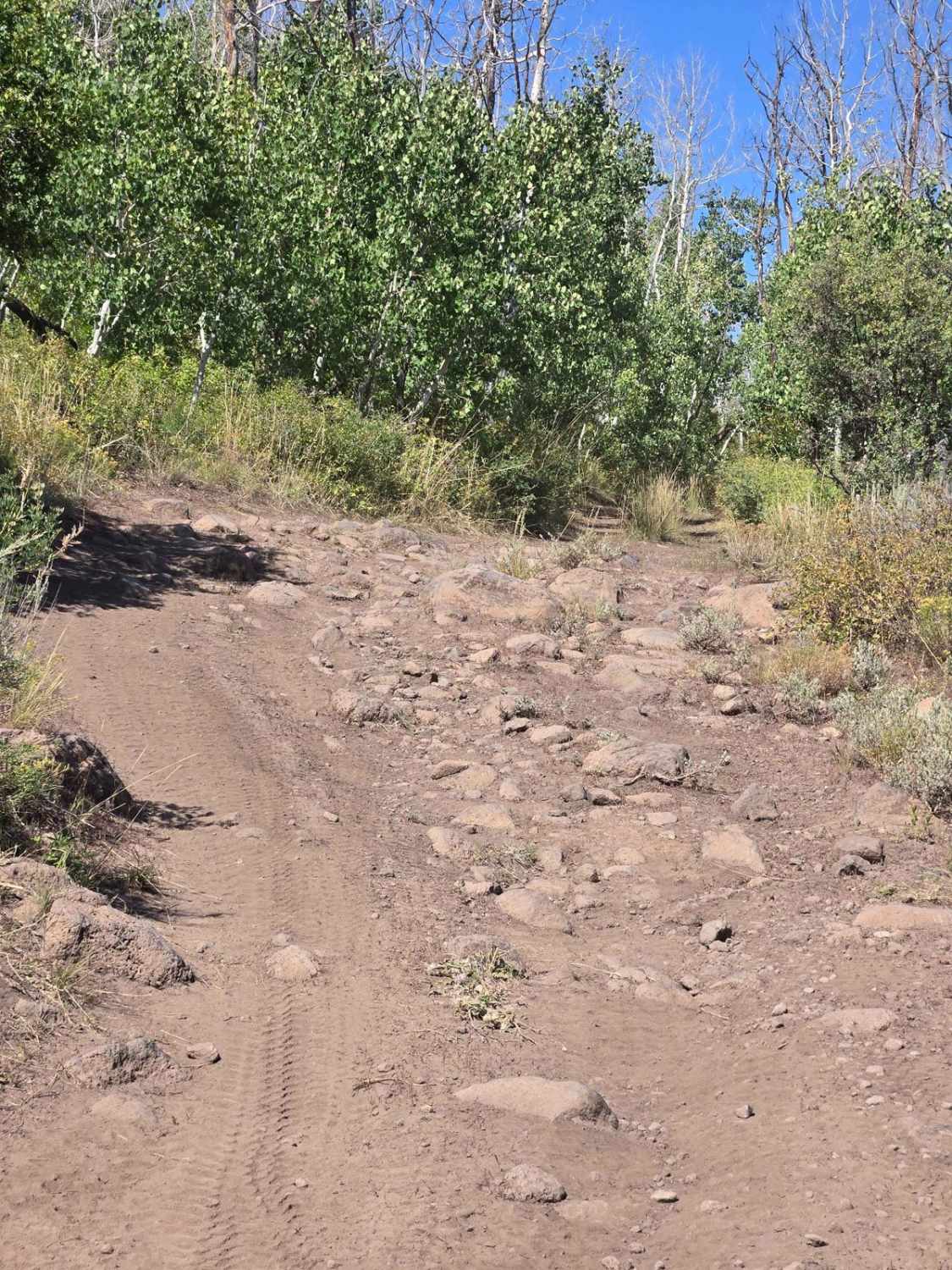
Bruin Point trail is a 5.5-mile point-to-point trail that climbs almost 3000 feet starting in Water Canyon to the top of Book Cliffs. This is a maintained road that has mud holes under 12 inches in depth. There are some steep climbs that are easier in 4LO. Enjoy the great views of the valley below from atop of Bruin Point. Between late June to September (after snow melt off), this trail connects to Cottonwood Canyon trail, then into 9 Mile Canyon. As you travel up Water Canyon, you will see many remnants of old mines and a mining tram system.
Photos of Bruin Point
Difficulty
Maintained dirt road that is mostly single vehicle width. Steep sections that may require 4LO to climb. Mud holes under 12 inches in depth.
Status Reports
Bruin Point can be accessed by the following ride types:
- High-Clearance 4x4
- SUV
- SxS (60")
- ATV (50")
- Dirt Bike
Bruin Point Map
Popular Trails
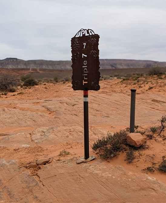
Triple 7
Maze Overlook

Verde Mounds Trail
The onX Offroad Difference
onX Offroad combines trail photos, descriptions, difficulty ratings, width restrictions, seasonality, and more in a user-friendly interface. Available on all devices, with offline access and full compatibility with CarPlay and Android Auto. Discover what you’re missing today!