Chicken Creek
Total Miles
17.5
Technical Rating
Best Time
Spring, Summer, Fall, Winter
Trail Type
Full-Width Road
Accessible By
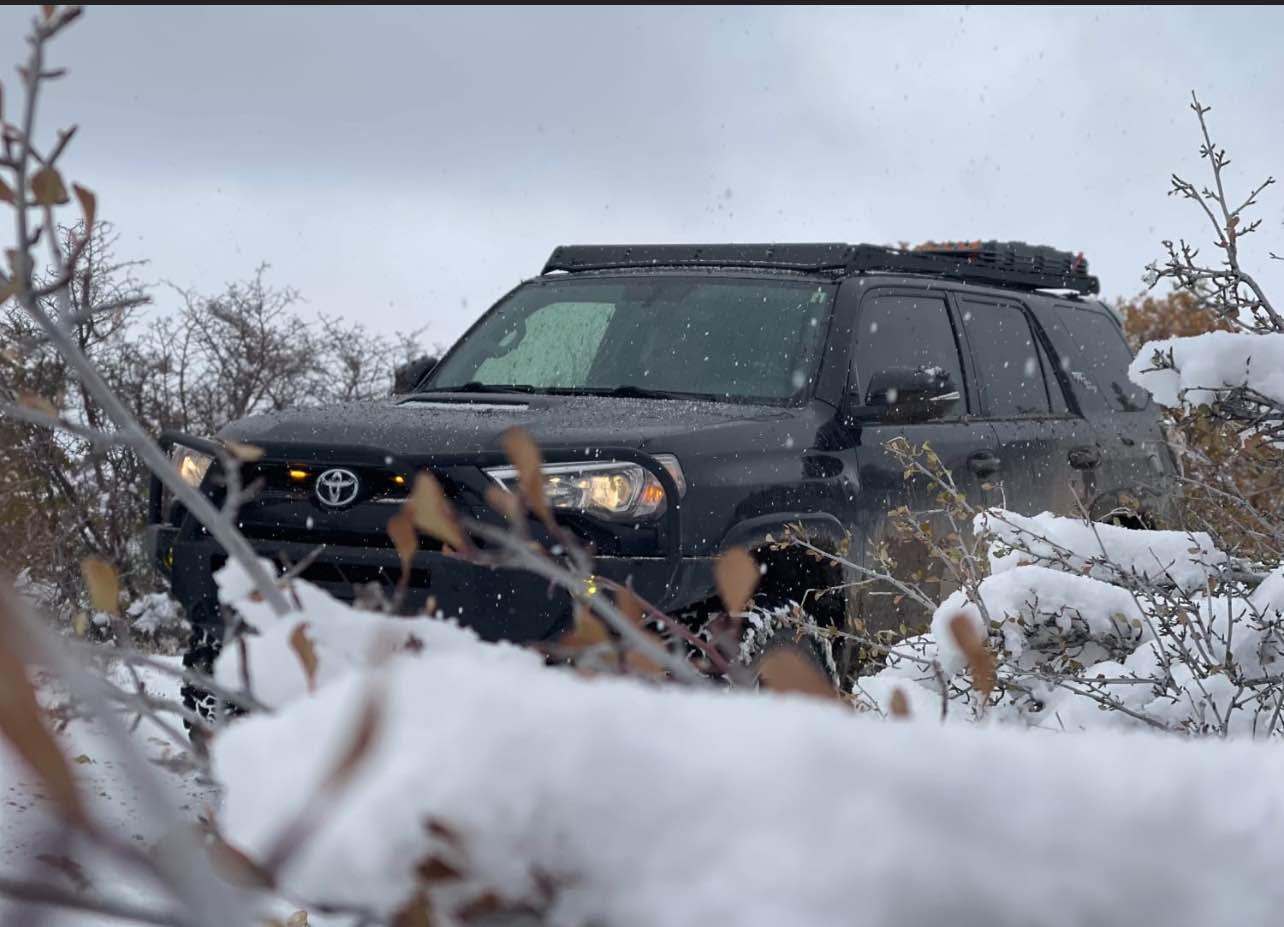
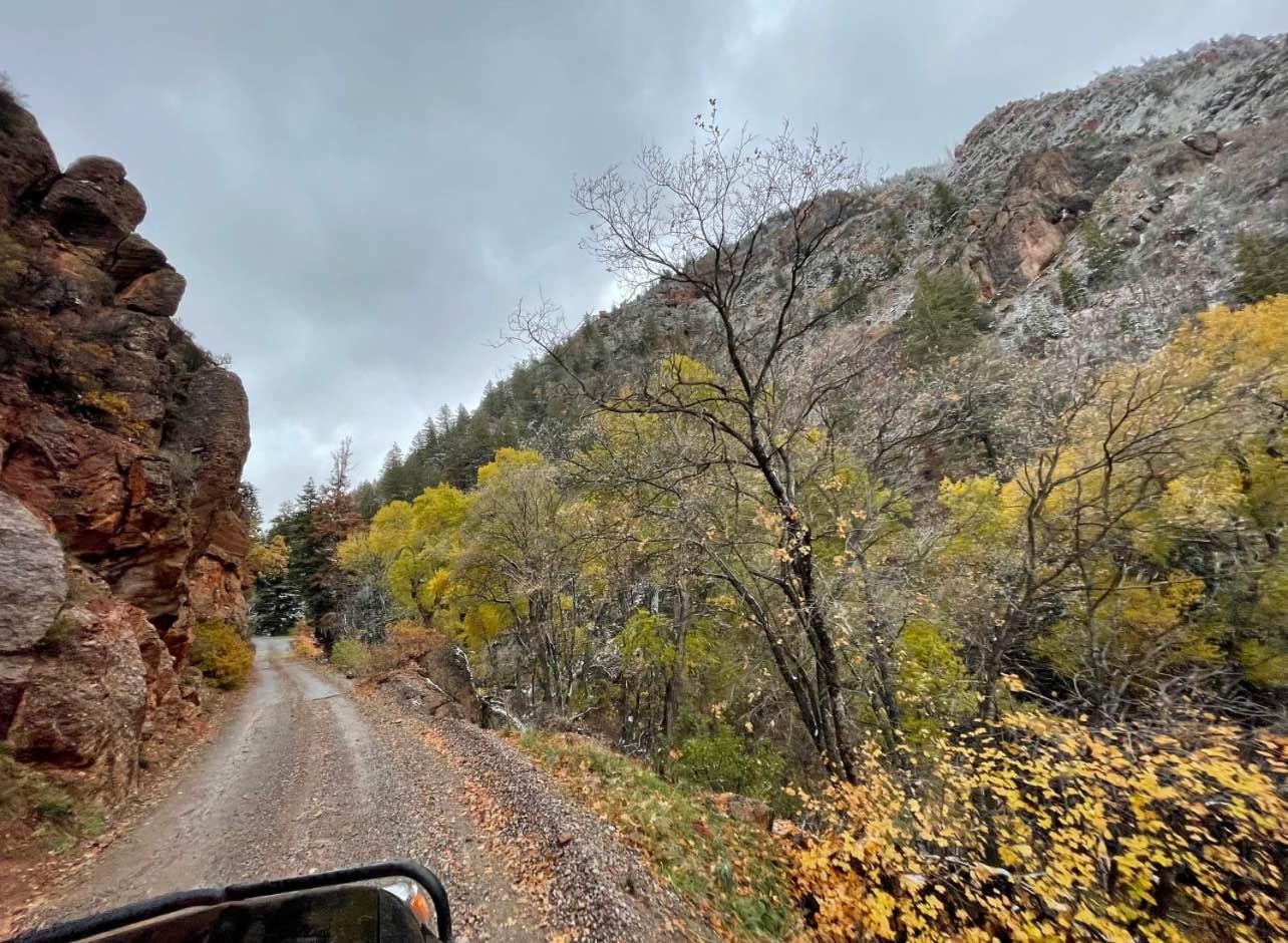
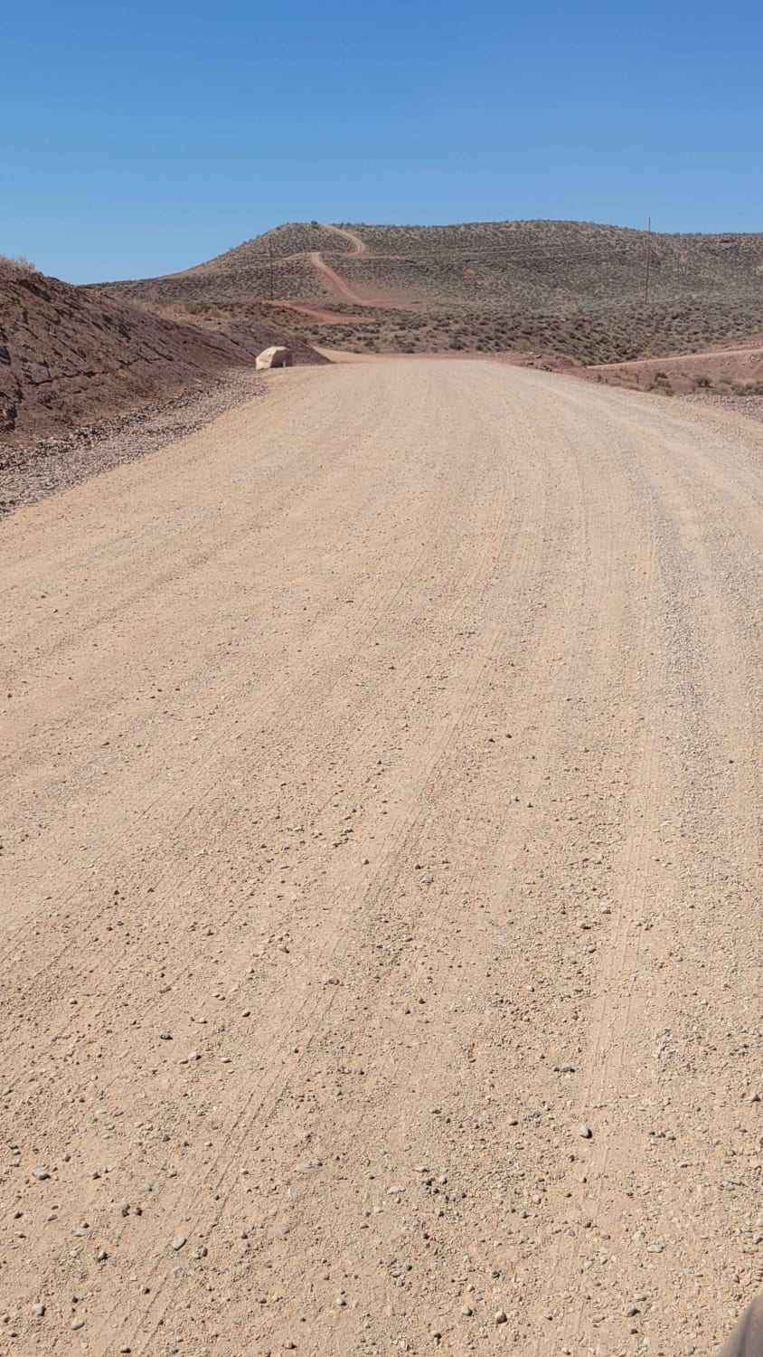
Trail Overview
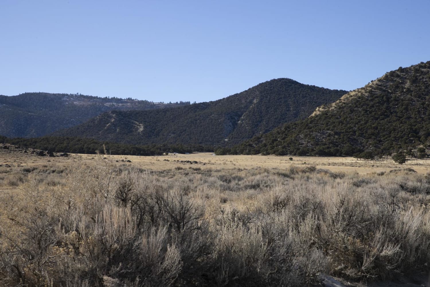
This trail starts out in a little town called Levan. The trail follows a gravel road along Chicken Creek. Along the trail, there are great views with cool mountain ledges, and big Aspen and Pine trees. This trail will end in a dead end with some private property signs and gates.
Photos of Chicken Creek
Difficulty
Easy gravel road unless its rains or snow. Then can get really muddy.
Status Reports
Chicken Creek can be accessed by the following ride types:
- High-Clearance 4x4
- SUV
- SxS (60")
- ATV (50")
- Dirt Bike
Chicken Creek Map
Popular Trails
Slickrock Trail Practice Loop

Deseret Wells Road
Jim's Farm Road
The onX Offroad Difference
onX Offroad combines trail photos, descriptions, difficulty ratings, width restrictions, seasonality, and more in a user-friendly interface. Available on all devices, with offline access and full compatibility with CarPlay and Android Auto. Discover what you’re missing today!