Cisco Claymore Hills Connector
Total Miles
1.6
Technical Rating
Best Time
Spring, Summer, Fall, Winter
Trail Type
Full-Width Road
Accessible By
Trail Overview
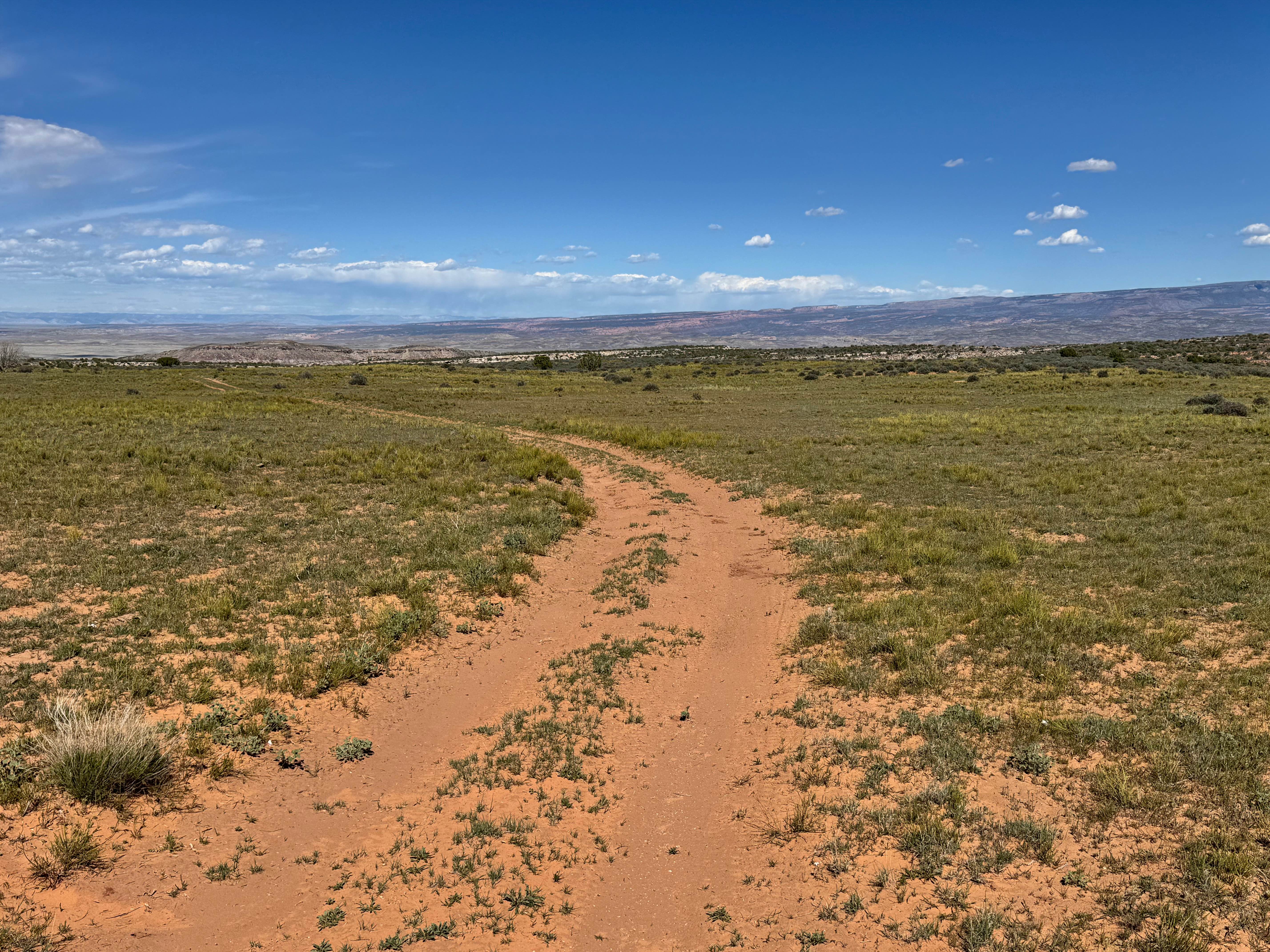
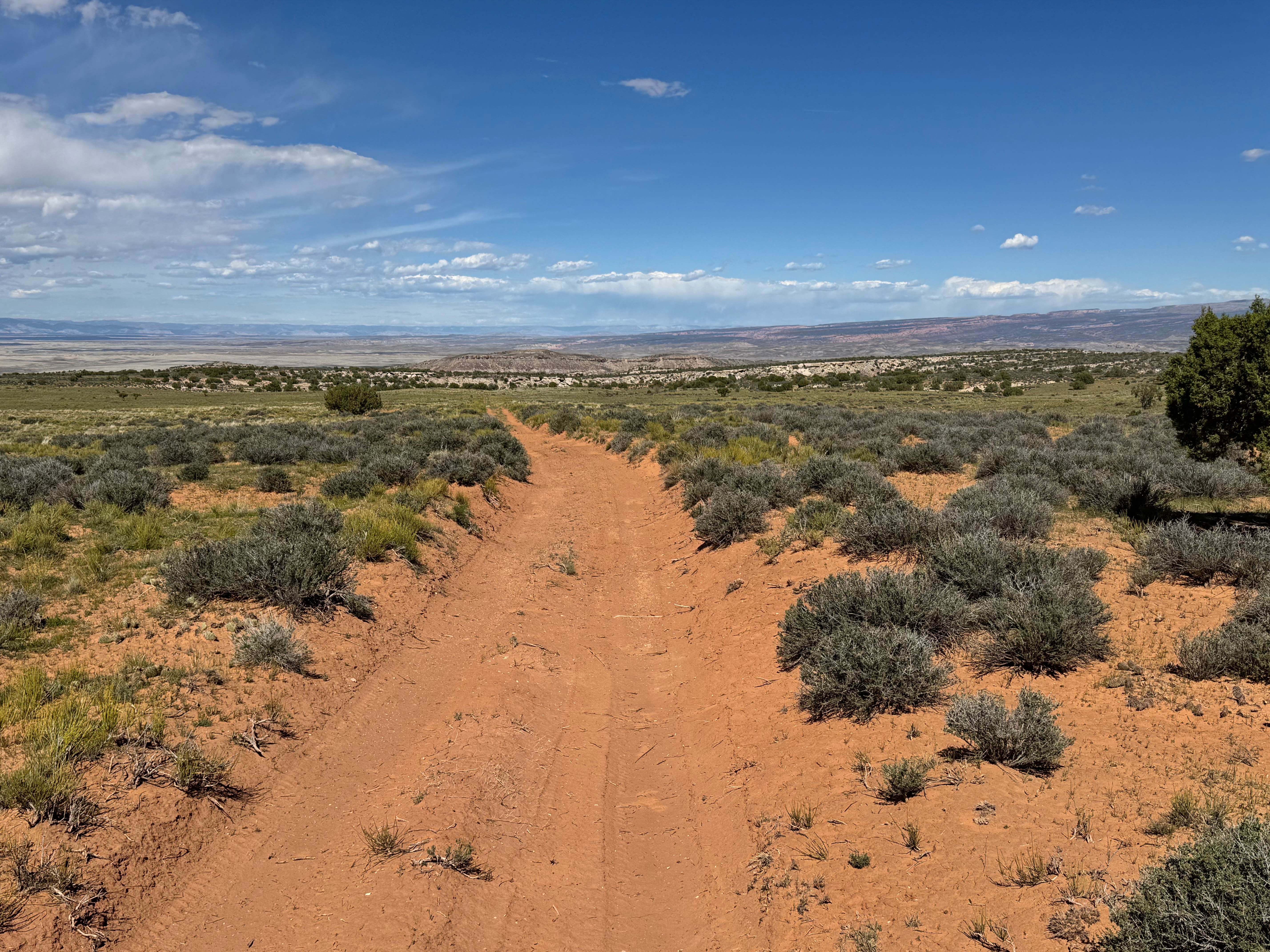
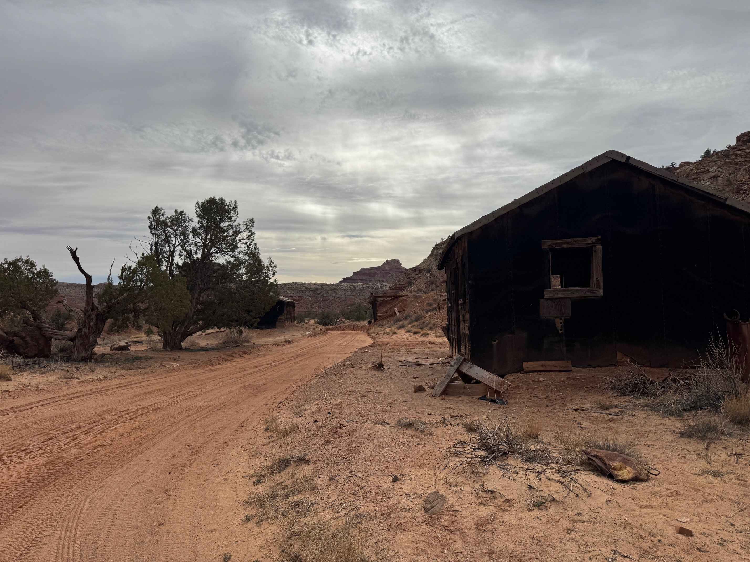
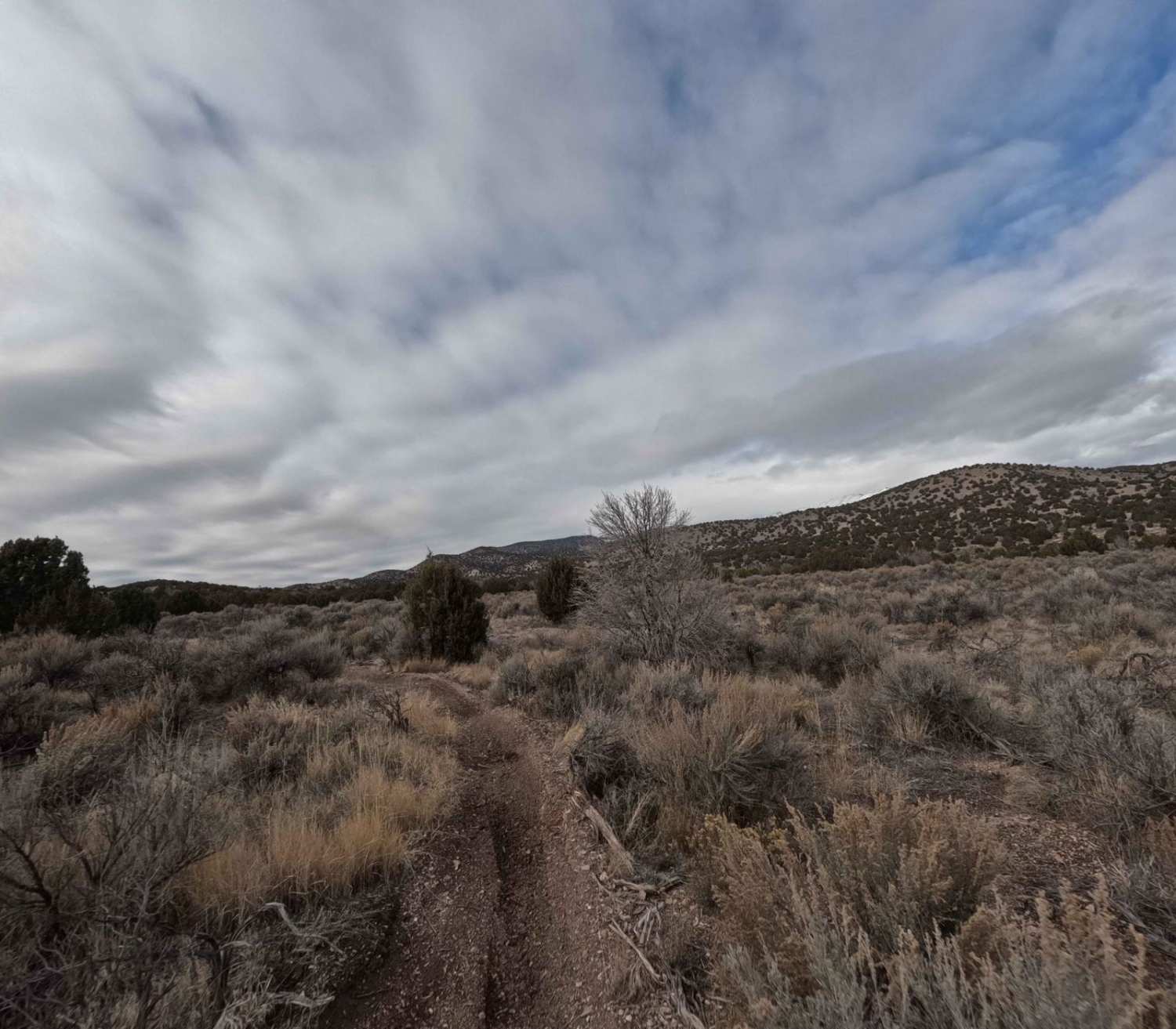
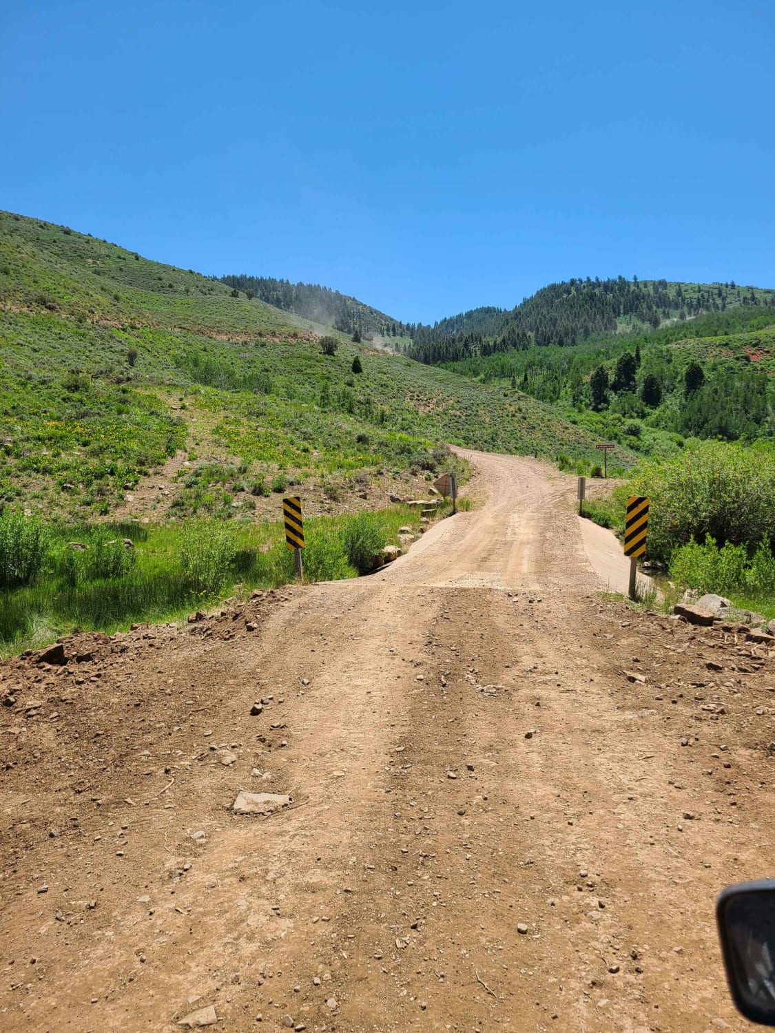
This route serves as a useful connector between Owl Draw and Cisco Claymore Hills while still offering a pleasant backcountry drive through classic high desert terrain. The trail has a primarily sandy base with sections lined by regional trees, brush, and natural vegetation that create a more enclosed feel than some of the surrounding open desert routes. The route remains fairly mild overall, with no major obstacles or highly technical sections to slow progress. A few smaller rock ledges under 12 inches tall appear along the way, adding minor challenges that are easily managed with good tire placement and decent clearance. Keep an eye out for local wildlife, as rabbits and other desert animals are often seen near the trail. This is a scenic and practical connector route that adds a little variety without demanding extreme vehicle capability.
Photos of Cisco Claymore Hills Connector
Difficulty
This connector route is mostly mild, with sandy terrain, minor rock ledges under 12 inches, and no major technical obstacles. The main considerations are soft sand, occasional brush that may cause pinstriping, and staying alert for wildlife.
Status Reports
Cisco Claymore Hills Connector can be accessed by the following ride types:
- High-Clearance 4x4
- SUV
- SxS (60")
- ATV (50")
- Dirt Bike
Cisco Claymore Hills Connector Map
Popular Trails
Hanni Mine Road - BLM 1020
Hardware Ranch to Bear Lake

Woodside Ruins
The onX Offroad Difference
onX Offroad combines trail photos, descriptions, difficulty ratings, width restrictions, seasonality, and more in a user-friendly interface. Available on all devices, with offline access and full compatibility with CarPlay and Android Auto. Discover what you’re missing today!