Clay Point-BLM13220
Total Miles
2.0
Technical Rating
Best Time
Spring, Summer, Fall, Winter
Trail Type
Full-Width Road
Accessible By
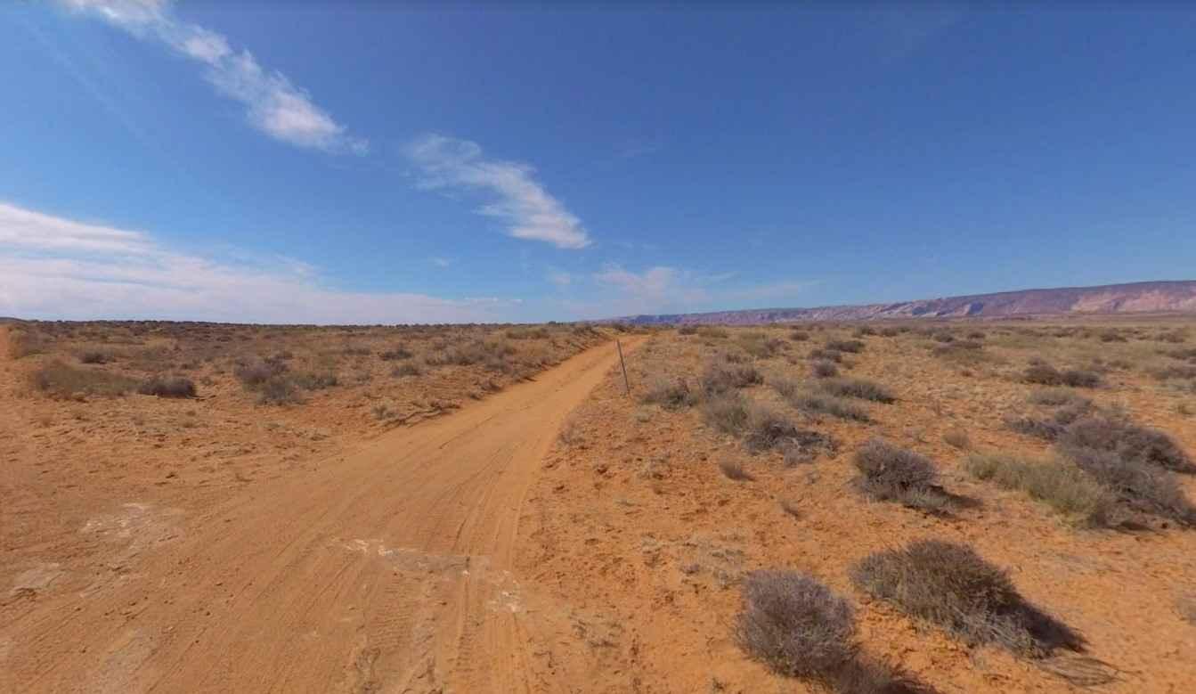
Trail Overview
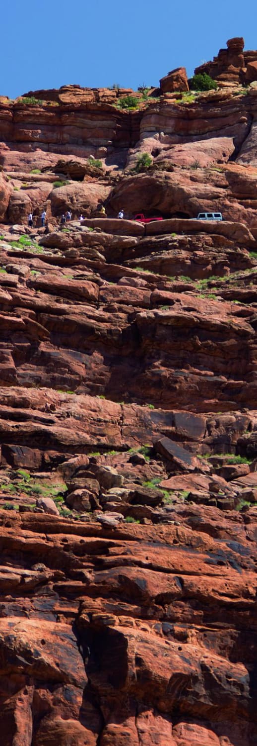
Clay Point-BLM13220 is a 2-mile out-and-back trail rated 3 of 10 located in Garfield County, Utah on the southernmost section of the Henry Mountains. This trail and the sister trail Clay Point South ends at vista views of Clay Canyon and Creek and points south. Looking west beyond Clay Canyon the Grand Gulch Waterpocket of Capital Reef National Park is visible. This is a single-track dirt trail that is hard-packed but can become mudding during and after storms. The views from each of the four points in this area (Clay, Clay South, Saleratus, and Tom Canyon) offer different perspectives as the shadows move across the ground. The Henry Mountains and the surrounding deserts are located in south-central Utah, just north of Lake Powell. Here, almost 2 million acres of public land are administered by the Bureau of Land Management. The Henry Mountains are also notable for the free-roaming herd of bison that live there, one of only four such herds in the country (the other 3 are in Yellowstone Park). The population was established in 1941 after the relocation of 18 individual bison from Yellowstone National Park. Today the herd is estimated to be between 250 and 400 bison. There are more than a thousand miles of off-highway trails available throughout the Henry Mountains. Cell phone service is intermittent to non-existent and the nearest services are in Hanksville to the north. There are several gas stations along Highway 276 between the Bullfrog Marina and Hanksville.
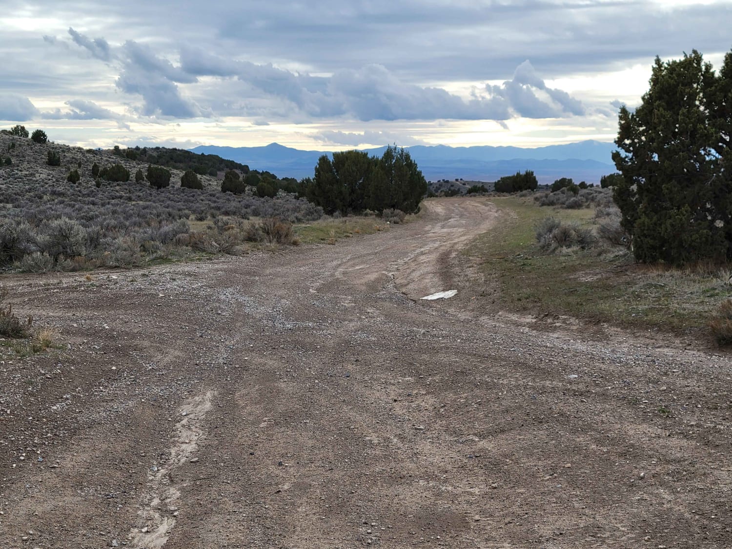
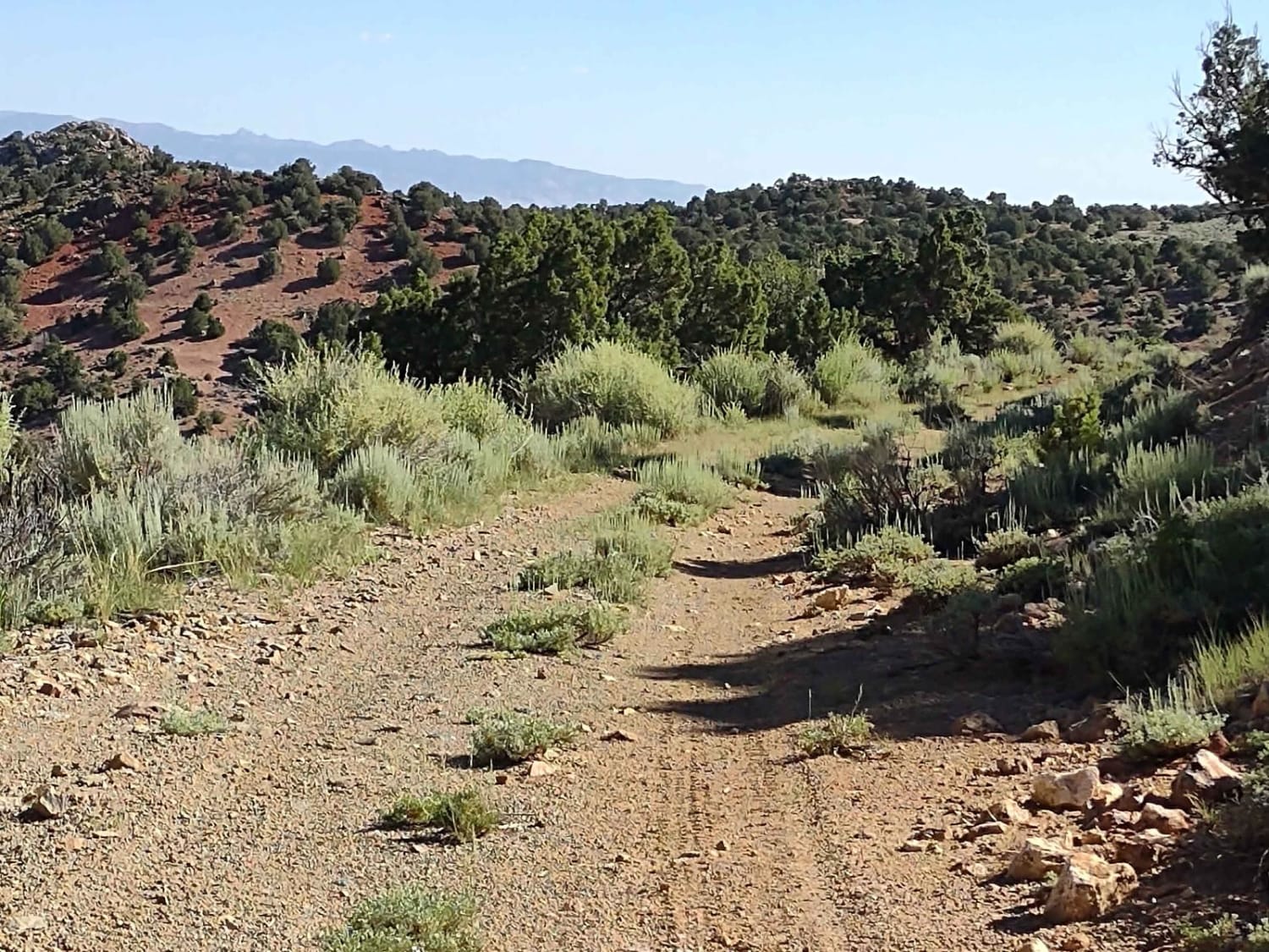
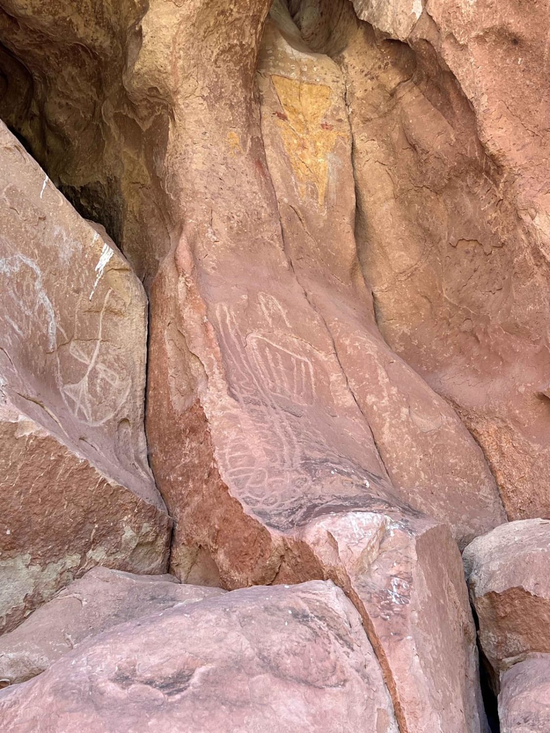
Photos of Clay Point-BLM13220

Difficulty
Trail consisting of loose rocks, dirt, and sand with some slickrock surfaces, mud holes possible, no steps higher than 12". 4WD may be required, aggressive tires a plus.
Status Reports
Clay Point-BLM13220 can be accessed by the following ride types:
- High-Clearance 4x4
- SUV
- SxS (60")
- ATV (50")
- Dirt Bike
Clay Point-BLM13220 Map
Popular Trails
County Road 1936
Yellowman/Gooseberry Mesa
Jackson Hole
The onX Offroad Difference
onX Offroad combines trail photos, descriptions, difficulty ratings, width restrictions, seasonality, and more in a user-friendly interface. Available on all devices, with offline access and full compatibility with CarPlay and Android Auto. Discover what you’re missing today!