Elephant Gap - Poverty Gulch Overlook
Total Miles
31.8
Technical Rating
Best Time
Spring, Summer, Fall, Winter
Trail Type
High-Clearance 4x4 Trail
Accessible By
Trail Overview
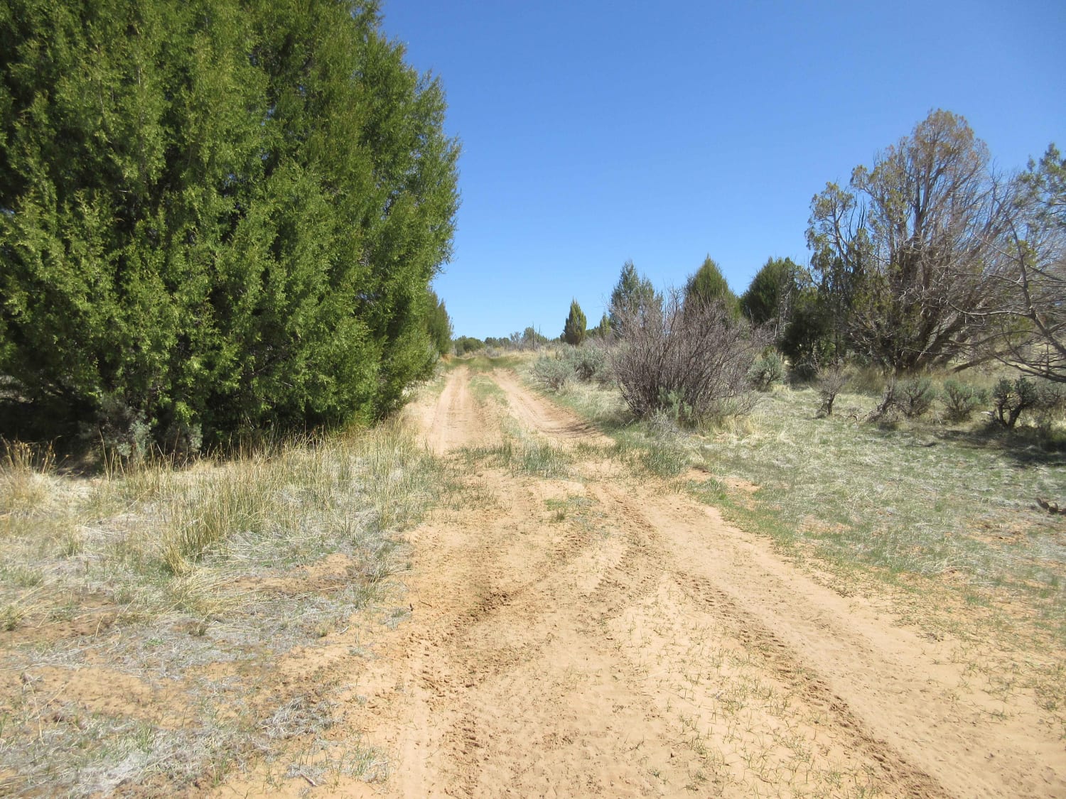
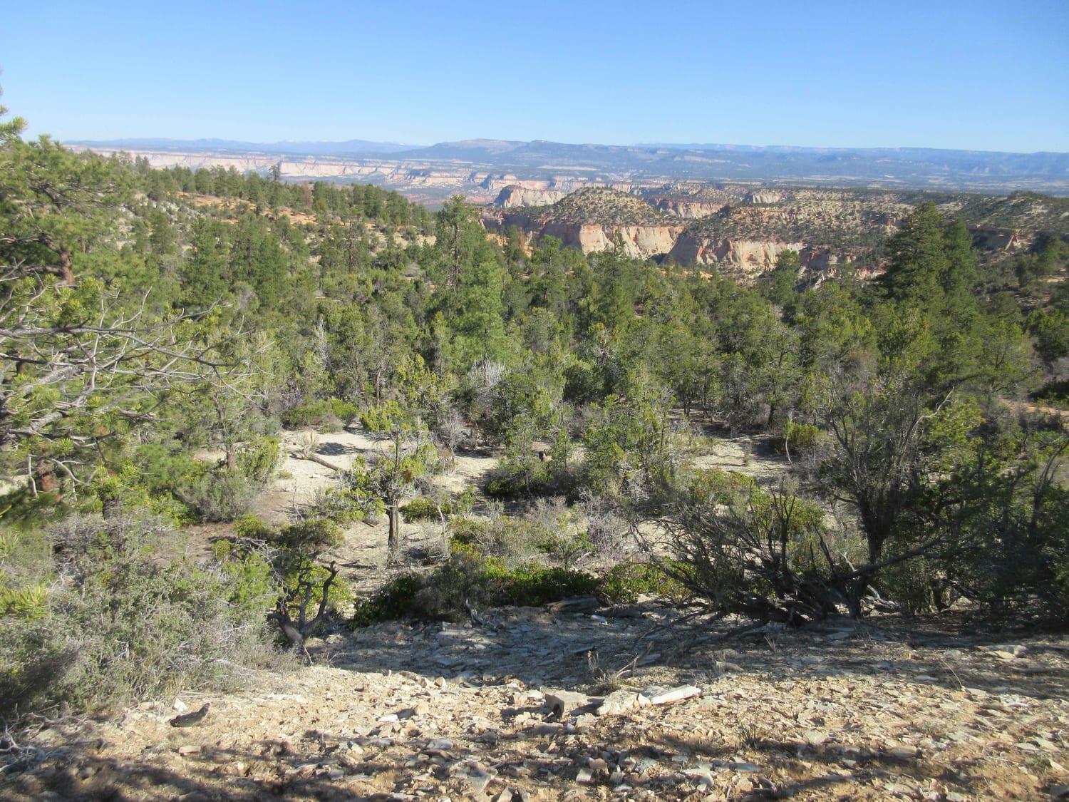
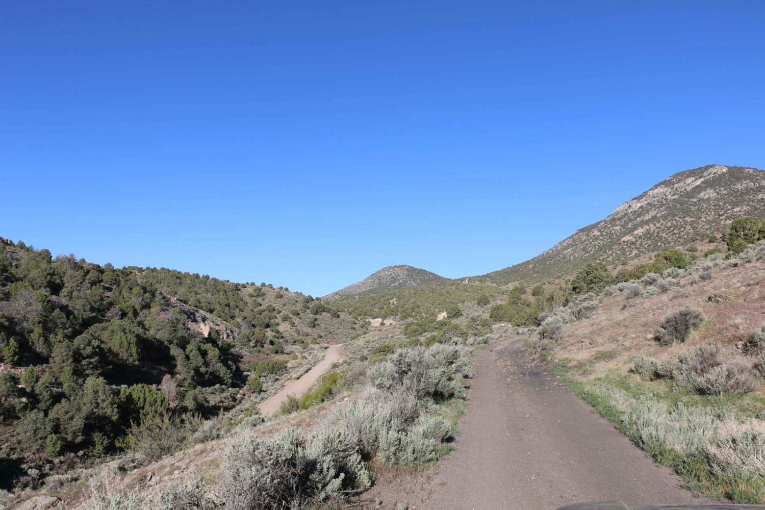
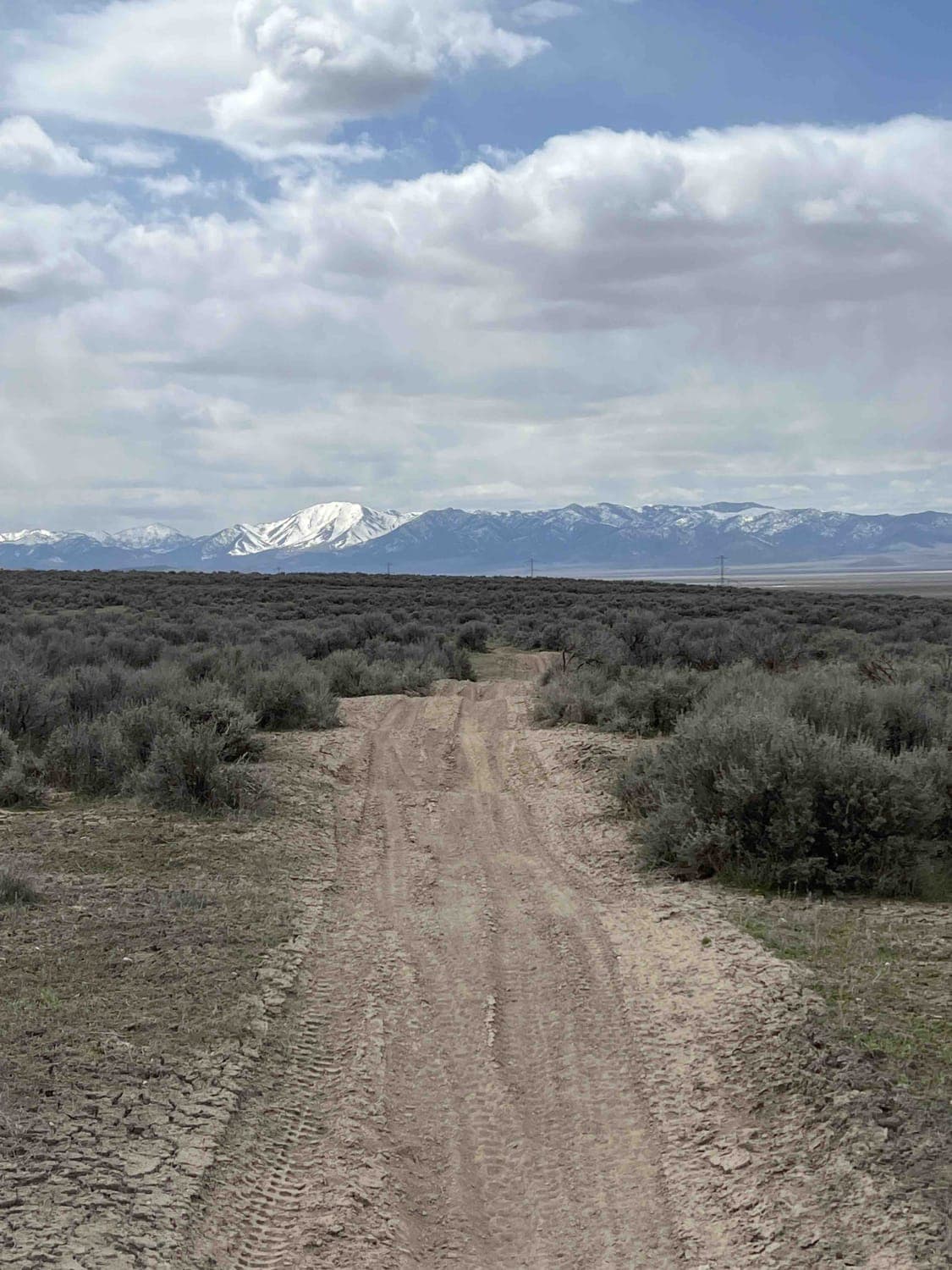
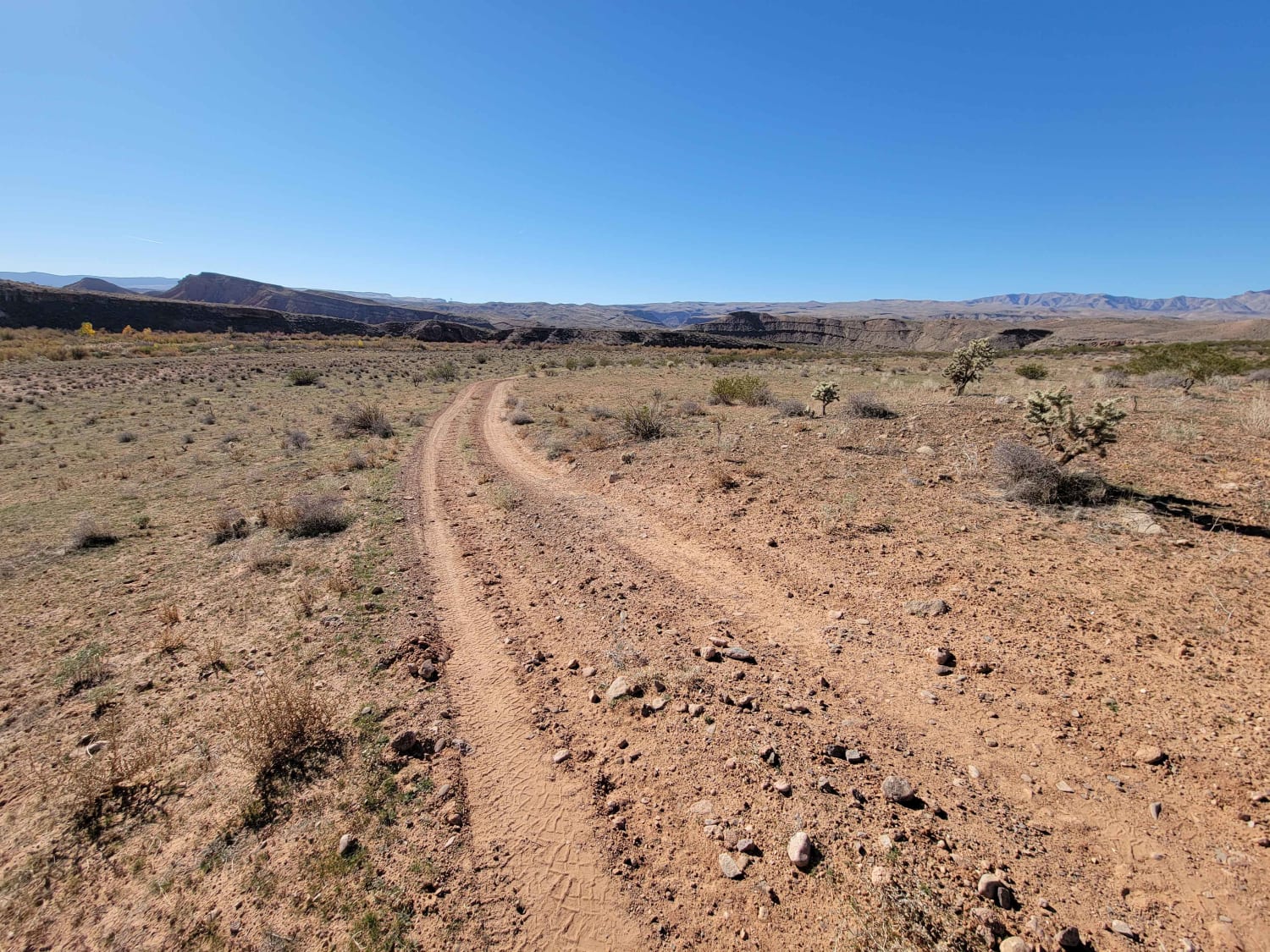
This is a sandy but somewhat easy trail with great views of the surrounding area. You will see mountains, rocky valleys, and large areas of sand-based flats. There are also interesting small areas with grass and a nearby spring. If you want a ride to get to know your vehicle or to train a newer driver, this is a great experience. There are areas of deep sand just off the trail, so beware. Take time to stop and look around. At the overlook at Poverty Gulch, you will also have some great views of the back of Zion National Park.
Photos of Elephant Gap - Poverty Gulch Overlook
Difficulty
The trail is generally one lane wide but it will support most types of vehicles intended to operate in deep sand. There are some areas of rock and small rock shelfs less than 12". Overall the trails are relatively flat with moderate climbs and depressions. This is a great ride year around as long as it has been dry for a few days. There are some unpredictable areas in the winter if it has snowed and after a severe thunderstorm.
Status Reports
Elephant Gap - Poverty Gulch Overlook can be accessed by the following ride types:
- High-Clearance 4x4
- SxS (60")
- ATV (50")
- Dirt Bike
Elephant Gap - Poverty Gulch Overlook Map
Popular Trails

Lower Stock Pond Trail
Curly Hollow Wash
The onX Offroad Difference
onX Offroad combines trail photos, descriptions, difficulty ratings, width restrictions, seasonality, and more in a user-friendly interface. Available on all devices, with offline access and full compatibility with CarPlay and Android Auto. Discover what you’re missing today!
