Elberta Slant Road
Total Miles
4.1
Technical Rating
Best Time
Fall, Summer, Spring
Trail Type
Full-Width Road
Accessible By
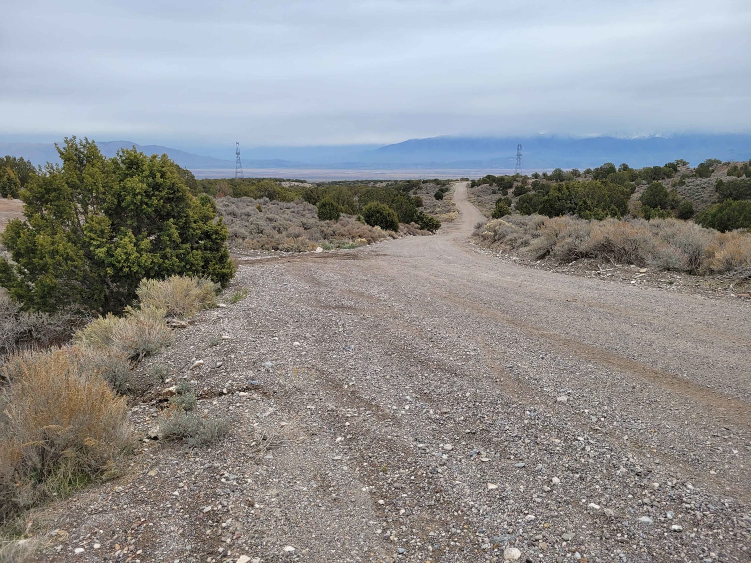
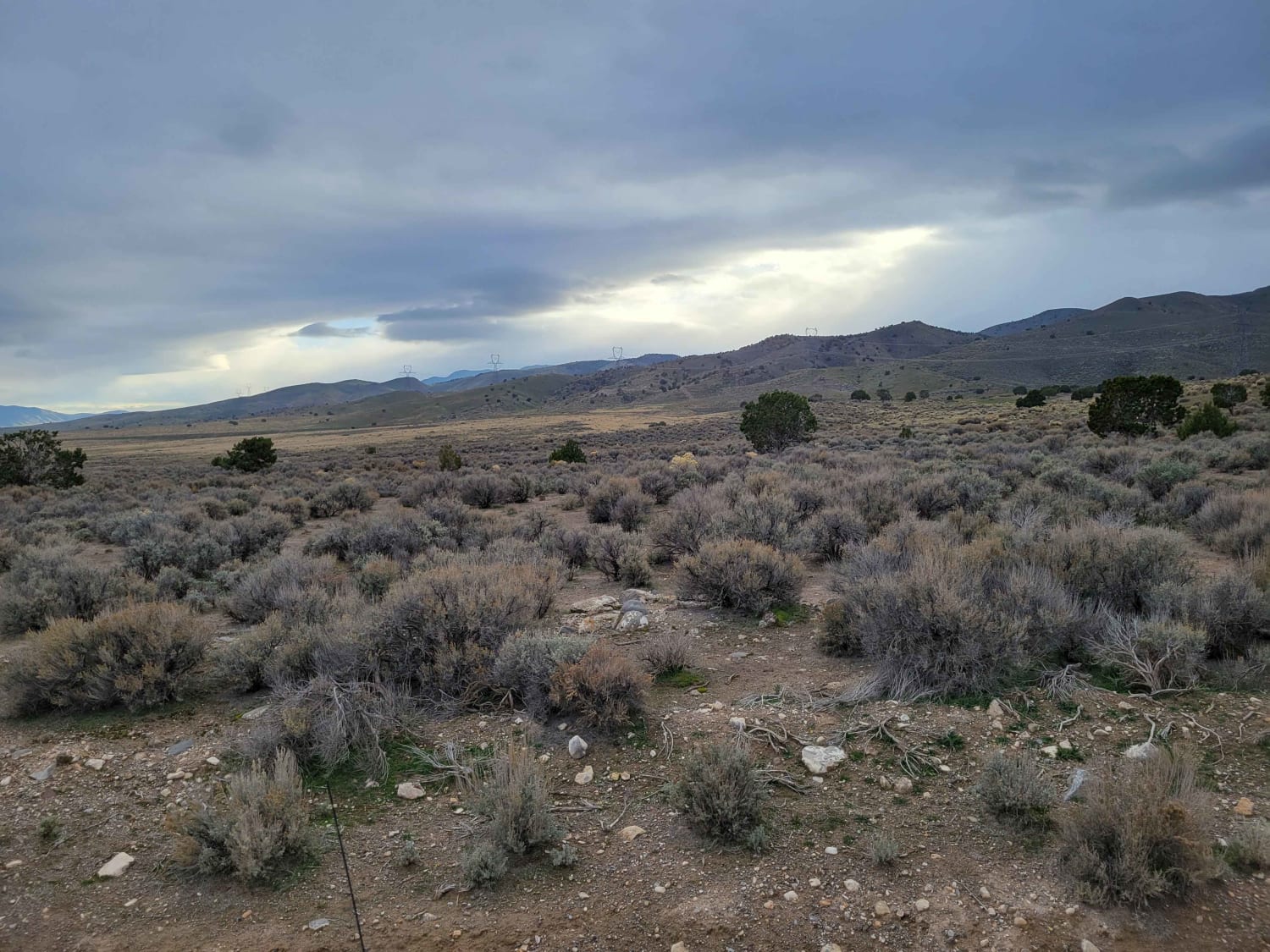
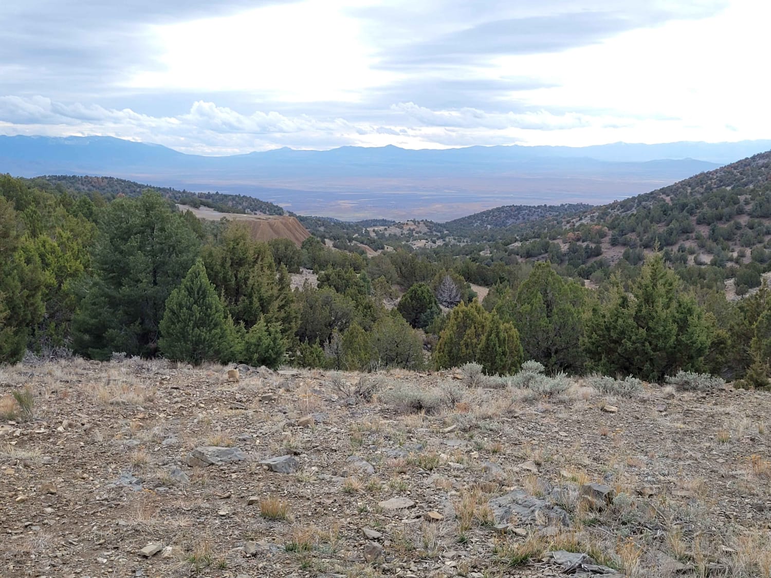
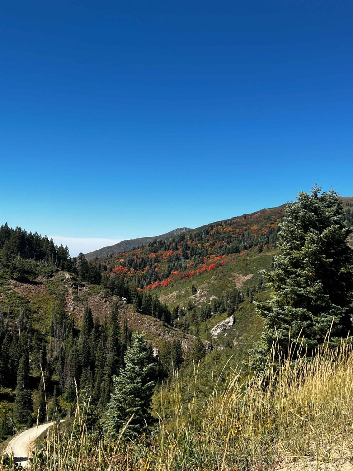
Trail Overview
An easy dirt road that makes its way to/from the Tintic Mountains, following what used to be the Tintic Range Railroad. There are dozens of other trails and off-shoots from this main road, as well as scattered primitive camping. This route is unmaintained in snowy conditions.
Photos of Elberta Slant Road
Difficulty
An easy dirt road that makes its way to/from the Tintic Mountains, following what used to be the Tintic Range Railroad. There are dozens of other trails and off-shoots from this main road, as well as scattered primitive camping. This route is unmaintained in snowy conditions.
History
The Tintic Range Railroad branch was built in 1891 to service the mines in Eureka. It started at the existing track in Springville and went south to Santaquin then turned west to Elberta. From Elberta it went up Pinion Canyon and Homansville Canyon and ended in Eureka.
Status Reports
Elberta Slant Road can be accessed by the following ride types:
- High-Clearance 4x4
- SUV
- SxS (60")
- ATV (50")
- Dirt Bike
Elberta Slant Road Map
Popular Trails
Wayne's Neighbor
Whites Flat FS 30152
Francis Peak Road (FS 009)

Side Track to Red Rock - Single Track
The onX Offroad Difference
onX Offroad combines trail photos, descriptions, difficulty ratings, width restrictions, seasonality, and more in a user-friendly interface. Available on all devices, with offline access and full compatibility with CarPlay and Android Auto. Discover what you’re missing today!