Henrie Knolls Summit
Total Miles
5.2
Technical Rating
Best Time
Fall, Summer
Trail Type
60" Trail
Accessible By
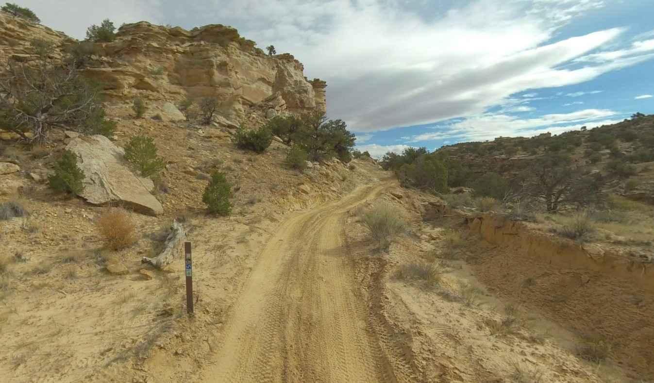
Trail Overview
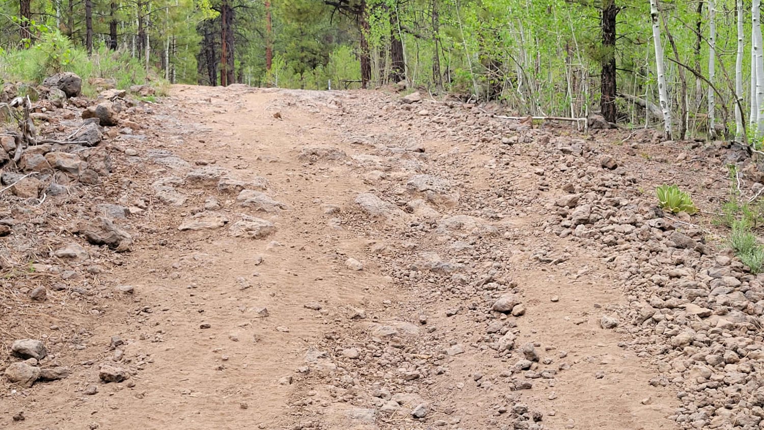
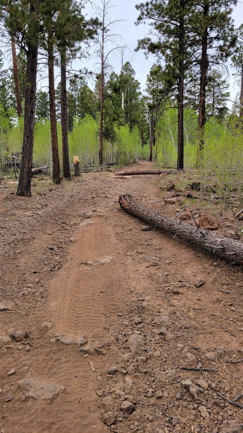
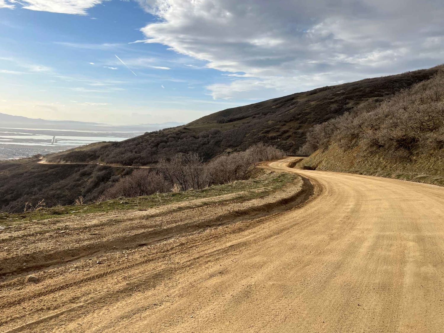
This trail takes you to the top of Henrie Knolls Summit: elevation of 9,239'. According to the Markagunt OHV System Map, this ranks as a blue (advanced) trail. The trail is very rocky, with fallen trees/debris very possible. The hill climb to the summit is steep, with an erosion rut cutting down the center. On a clear day, the 360* views of the surrounding landscape are pretty incredible. Trail #42 of the Markagunt OHV System.
Photos of Henrie Knolls Summit
Difficulty
The trail is very rocky with fallen trees / debris very possible. The hill climb to the summit is steep with an erosion rut cutting down the center.
Status Reports
Henrie Knolls Summit can be accessed by the following ride types:
- SxS (60")
- ATV (50")
- Dirt Bike
Henrie Knolls Summit Map
Popular Trails

Ward Canyon Road
Tropic Reservoir Road (Private Easment Section)
The onX Offroad Difference
onX Offroad combines trail photos, descriptions, difficulty ratings, width restrictions, seasonality, and more in a user-friendly interface. Available on all devices, with offline access and full compatibility with CarPlay and Android Auto. Discover what you’re missing today!