6120
Total Miles
4.0
Technical Rating
Best Time
Spring, Winter, Fall
Trail Type
Full-Width Road
Accessible By
Trail Overview
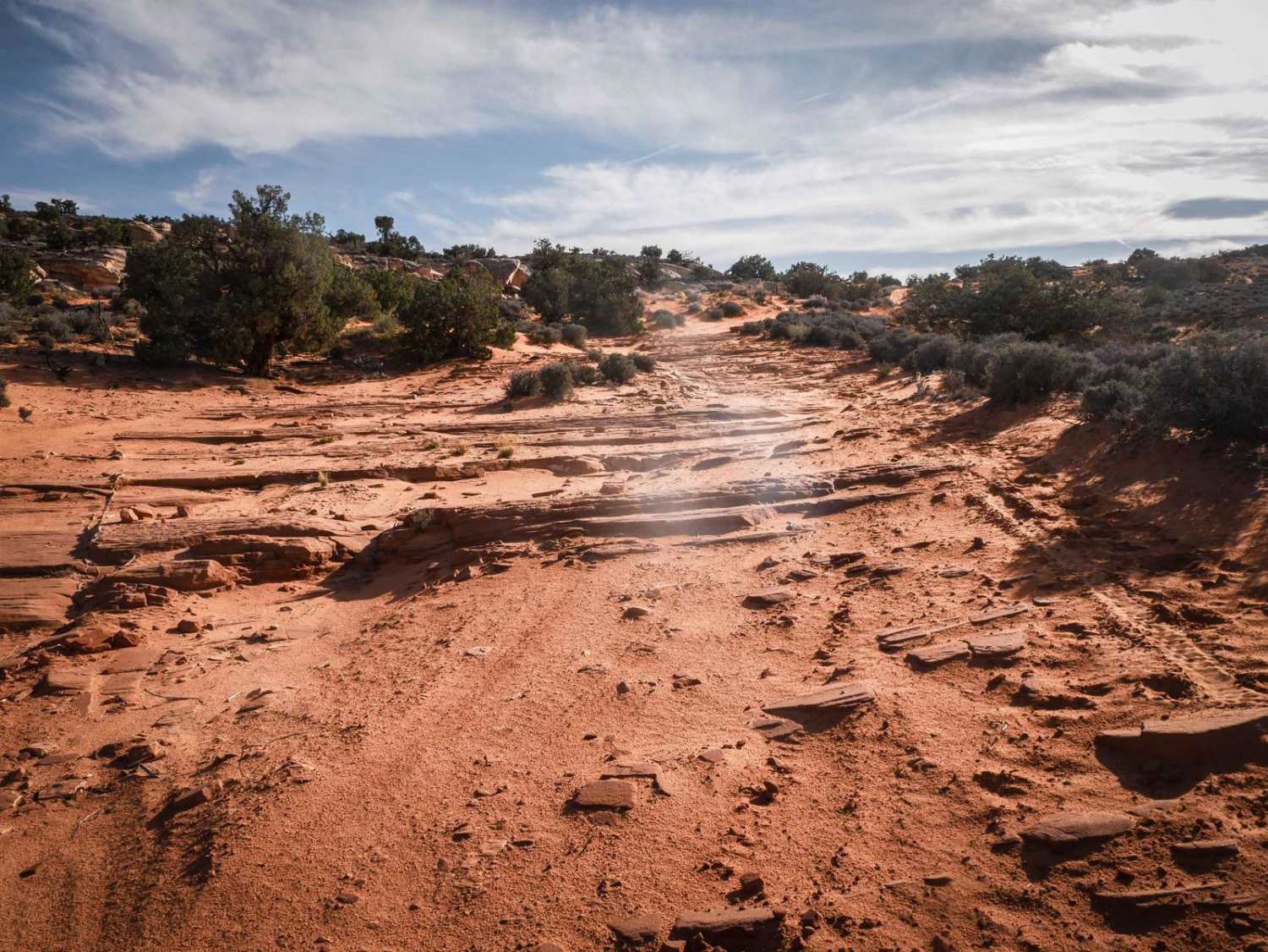
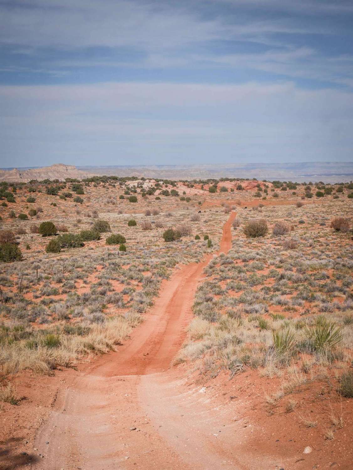
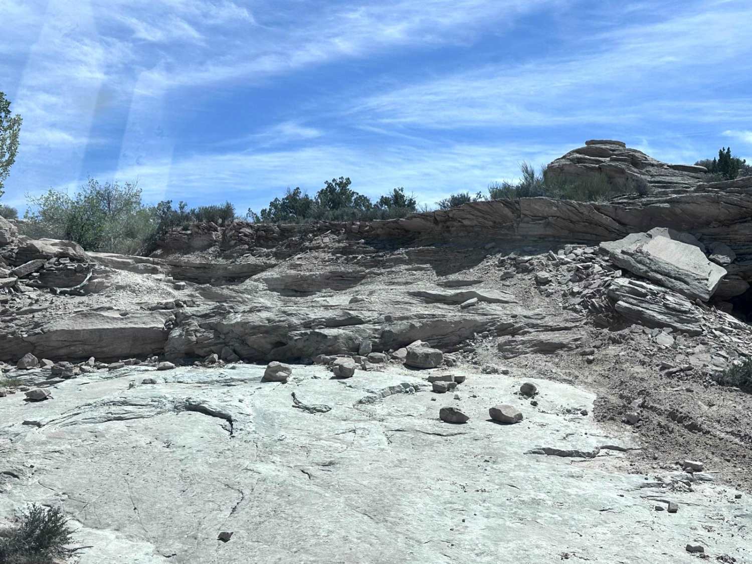
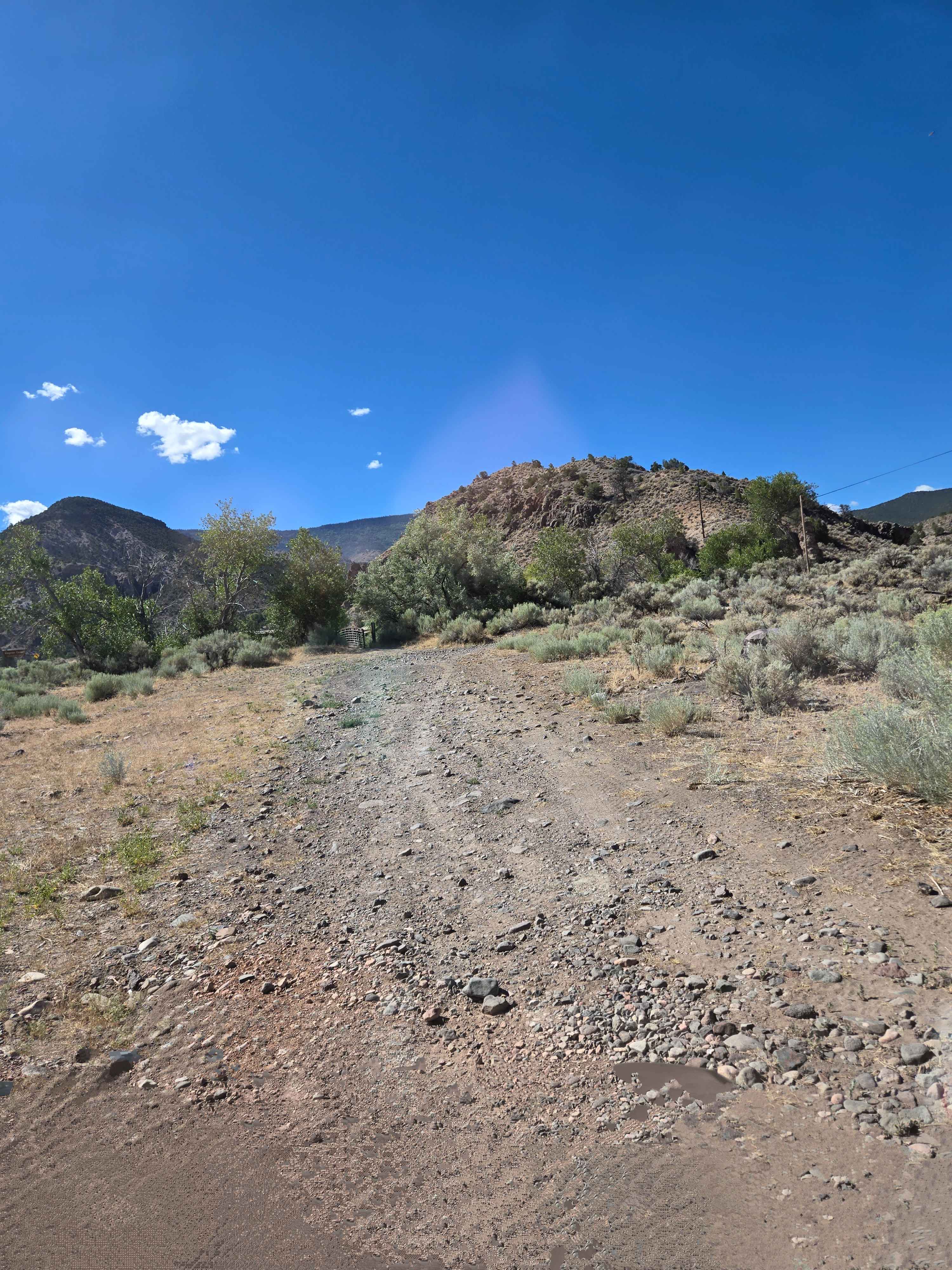
6120 is a 4-mile-long dirt road that starts at Highway 89 at a dirt turnoff. It goes right next to some private property, starting easy on a mix of hard-packed dirt and sand. It goes past lots of grazing cows and through a couple of gates and unmarked intersections, going flat and straight through grasslands and pinyon pine trees. There are consistent slab rock layers in the trail that make it pretty bumpy and slow, creating small ledges under a foot tall. You'll find small loose rocks throughout the trail and easy curves, and it narrows up as it gets farther away from the highway. You might see UTV tours out here. Although this road is likely the start or end of your off-road adventure in this area, the views are already pretty great in either direction. When you're heading north, you can see the grey bentonite mesas north of Big Water, and you ride past big sandstone rock towers. If heading south, you'll see the Vermillion Cliffs in the distance. It's a slight uphill from the highway to the intersection with South Jacobs Tanks Road and 6115.
Photos of 6120
Difficulty
This is an easy dirt road that is a 3 difficulty due to lots of sections of slab rock in the road that create small ledges up to a foot tall.
Status Reports
6120 can be accessed by the following ride types:
- High-Clearance 4x4
- SUV
- SxS (60")
- ATV (50")
- Dirt Bike
6120 Map
Popular Trails

Judd Hollow/Cedar Mountain Road
Kingston Canyon (Paiute 1 Trail)
The onX Offroad Difference
onX Offroad combines trail photos, descriptions, difficulty ratings, width restrictions, seasonality, and more in a user-friendly interface. Available on all devices, with offline access and full compatibility with CarPlay and Android Auto. Discover what you’re missing today!
