Green River Ledges
Total Miles
3.4
Technical Rating
Best Time
Spring, Summer, Fall, Winter
Trail Type
Full-Width Road
Accessible By
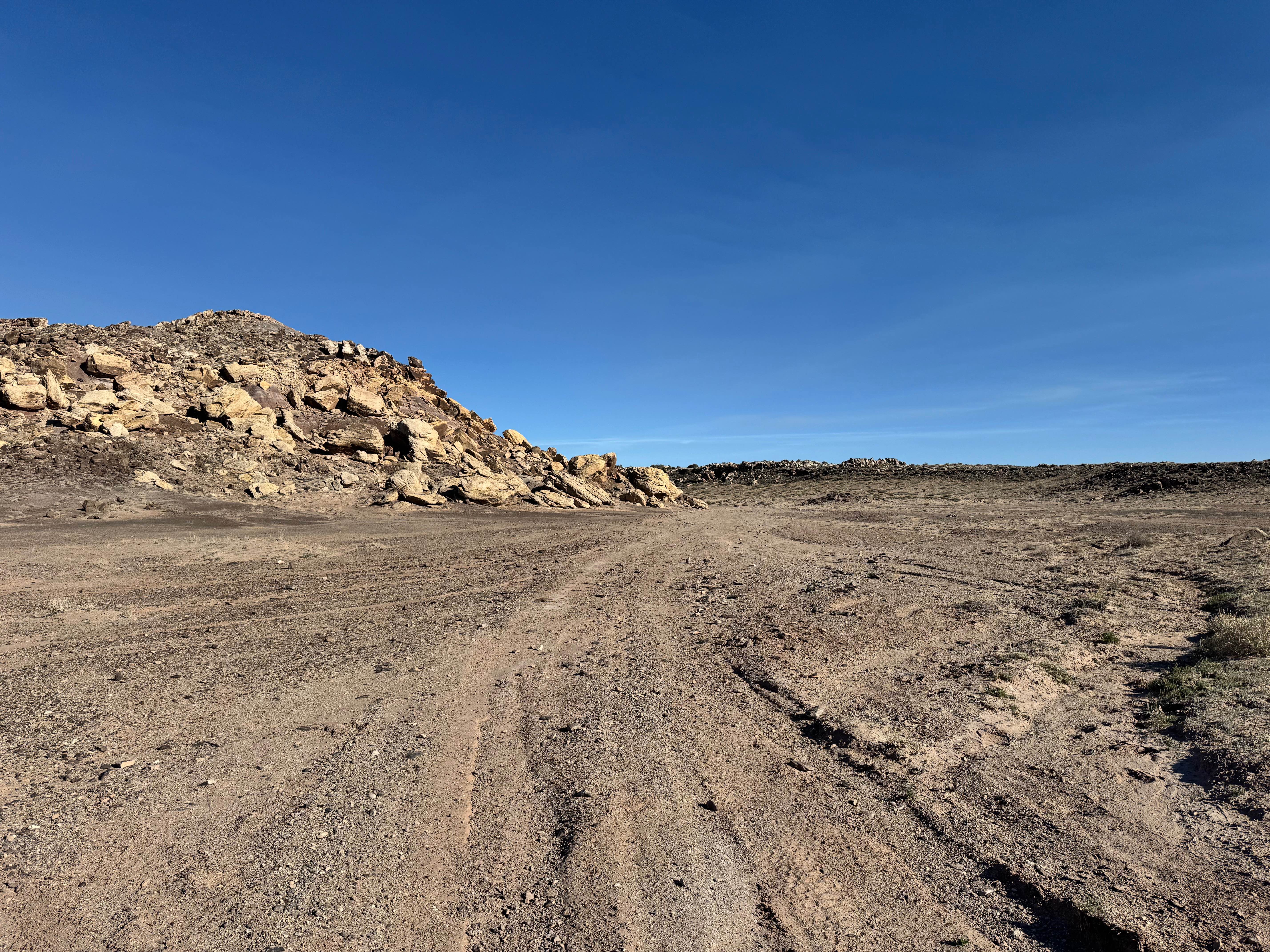
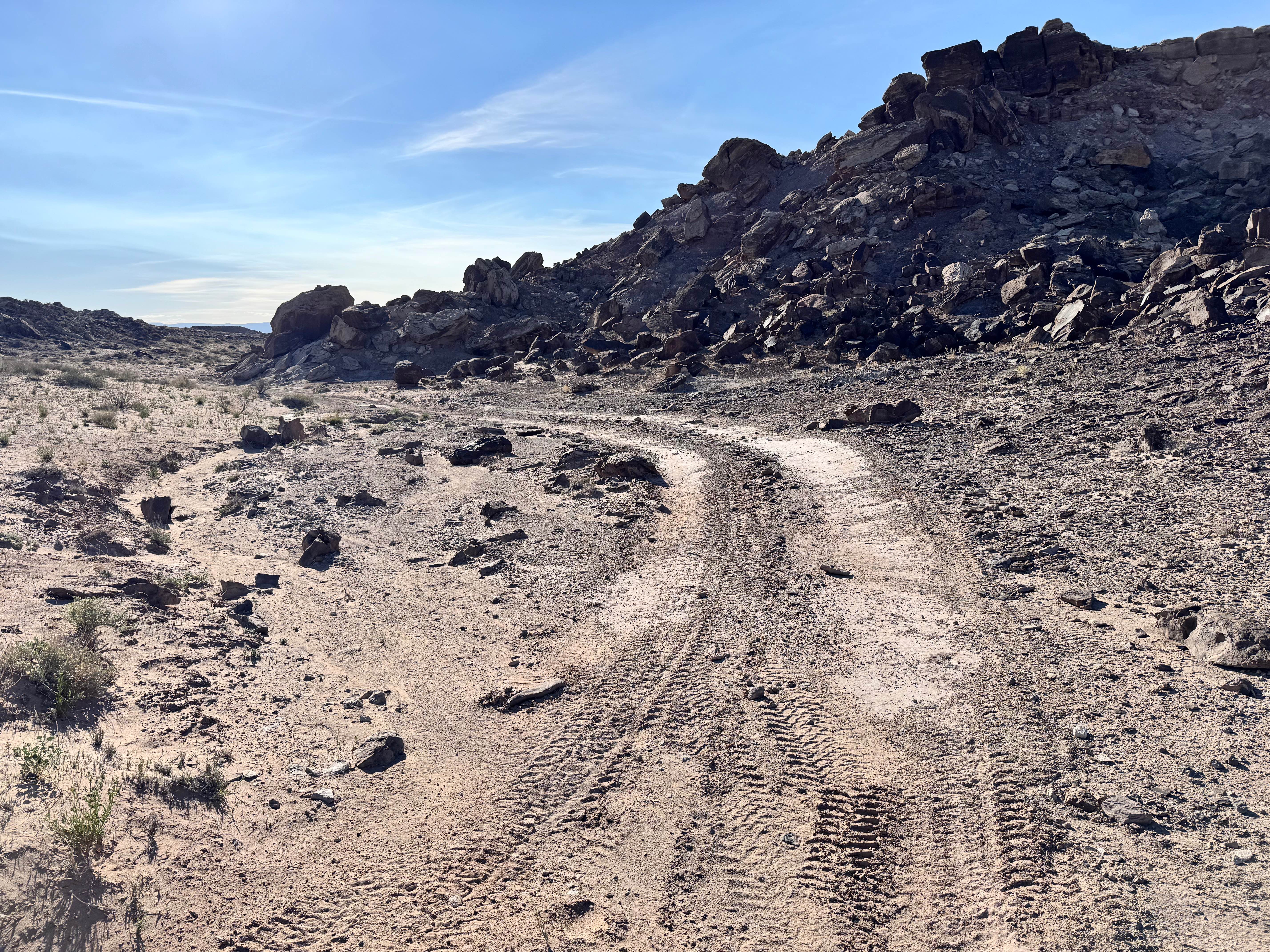
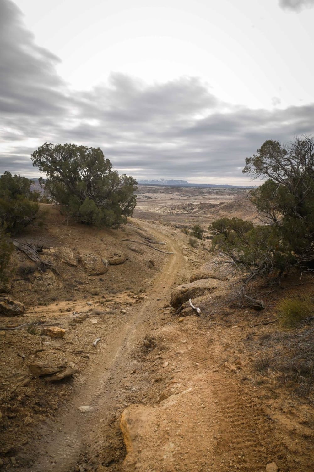
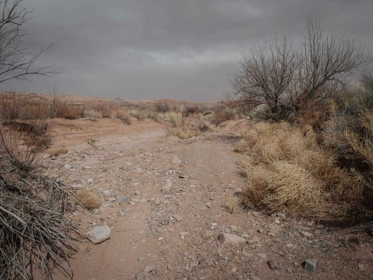
Trail Overview
Green River Ledges is a short but demanding 3.5-mile route that packs technical driving, dramatic scenery, and excellent camping into one memorable route. The route winds through colorful, moon-like terrain as it weaves in and out of rock formations before dropping toward the Green River. Expect a rough surface with frequent rocks, uneven ledges, washouts, and several hard obstacles that can challenge stock 4x4s. Low-range gearing, good ground clearance, and careful tire placement are strongly recommended throughout the route. One notable section near the river features a massive boulder directly beside the trail. With patience, proper line choice, or a skilled spotter, most capable rigs can pass it without issue. Narrow ledges and rocky climbs add to the challenge, making previous rock-crawling experience valuable. A few flat campsites are scattered along the route, including a standout spot overlooking the Green River. Bring a camera as this route delivers outstanding photo opportunities from start to finish.
Photos of Green River Ledges
Difficulty
Green River Ledges is a short but technical trail with rocky obstacles, narrow ledges, washouts, and uneven terrain that can challenge stock 4x4s. Several sections require low range, solid ground clearance, and careful tire placement. The large boulder near the river is manageable with a good line or spotter, but it adds to the overall difficulty.
History
Like many routes near Green River, this trail likely follows a mix of old exploration roads, utility access paths, and recreation routes. The surrounding region was heavily influenced by ranching, river travel, and later uranium exploration, all of which helped shape the road network still used today.
Status Reports
Green River Ledges can be accessed by the following ride types:
- High-Clearance 4x4
- SUV
- SxS (60")
- ATV (50")
- Dirt Bike
Green River Ledges Map
Popular Trails

Red Slot Trail
Westwater Mesa Loop Trail
Upper Salt Wash

Zion Overlook
The onX Offroad Difference
onX Offroad combines trail photos, descriptions, difficulty ratings, width restrictions, seasonality, and more in a user-friendly interface. Available on all devices, with offline access and full compatibility with CarPlay and Android Auto. Discover what you’re missing today!