FR50084/Recapture Road
Total Miles
8.0
Technical Rating
Best Time
Spring, Summer, Fall
Trail Type
Full-Width Road
Accessible By
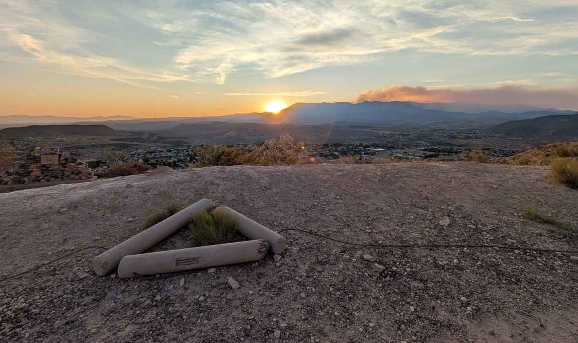
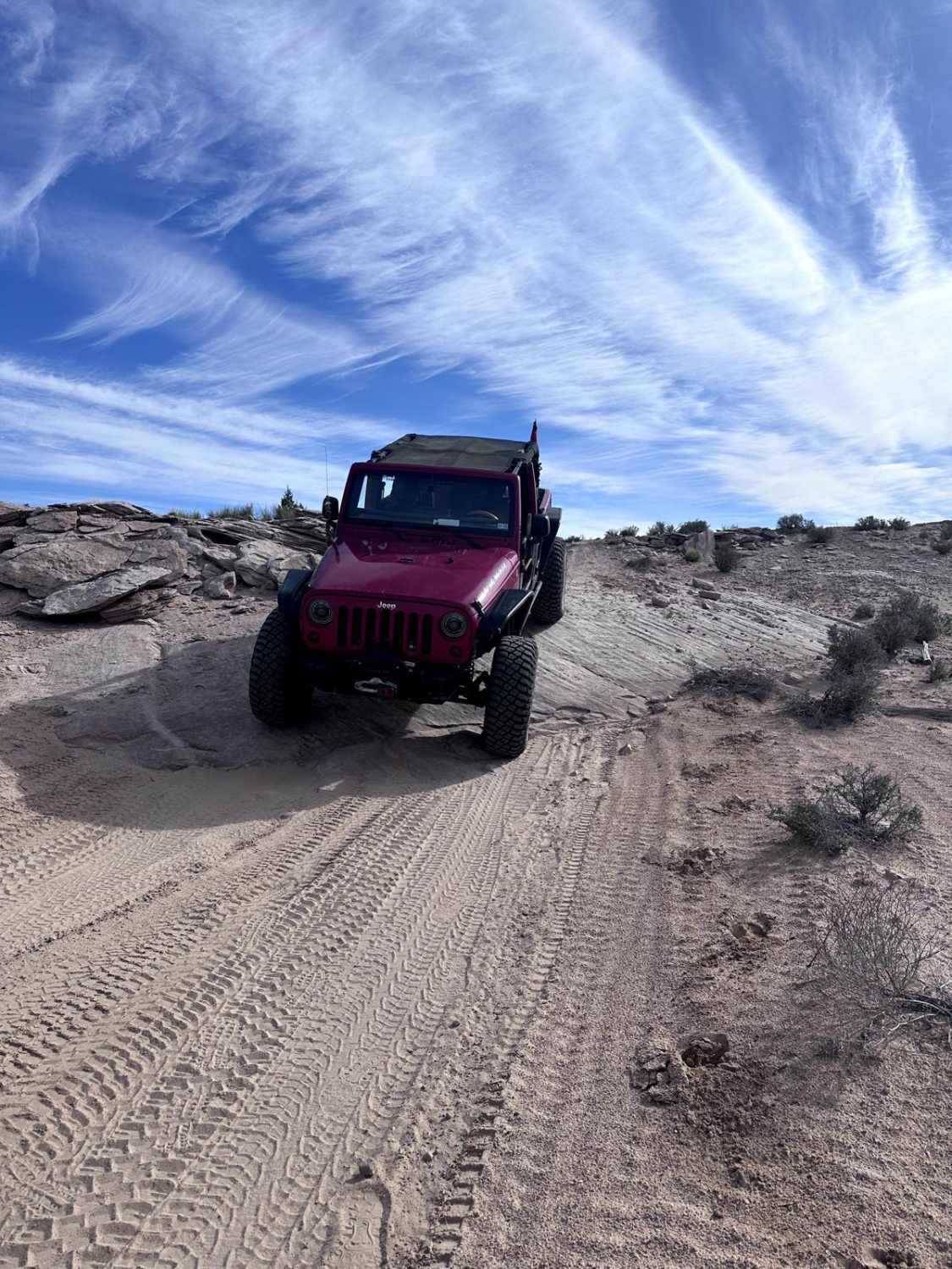
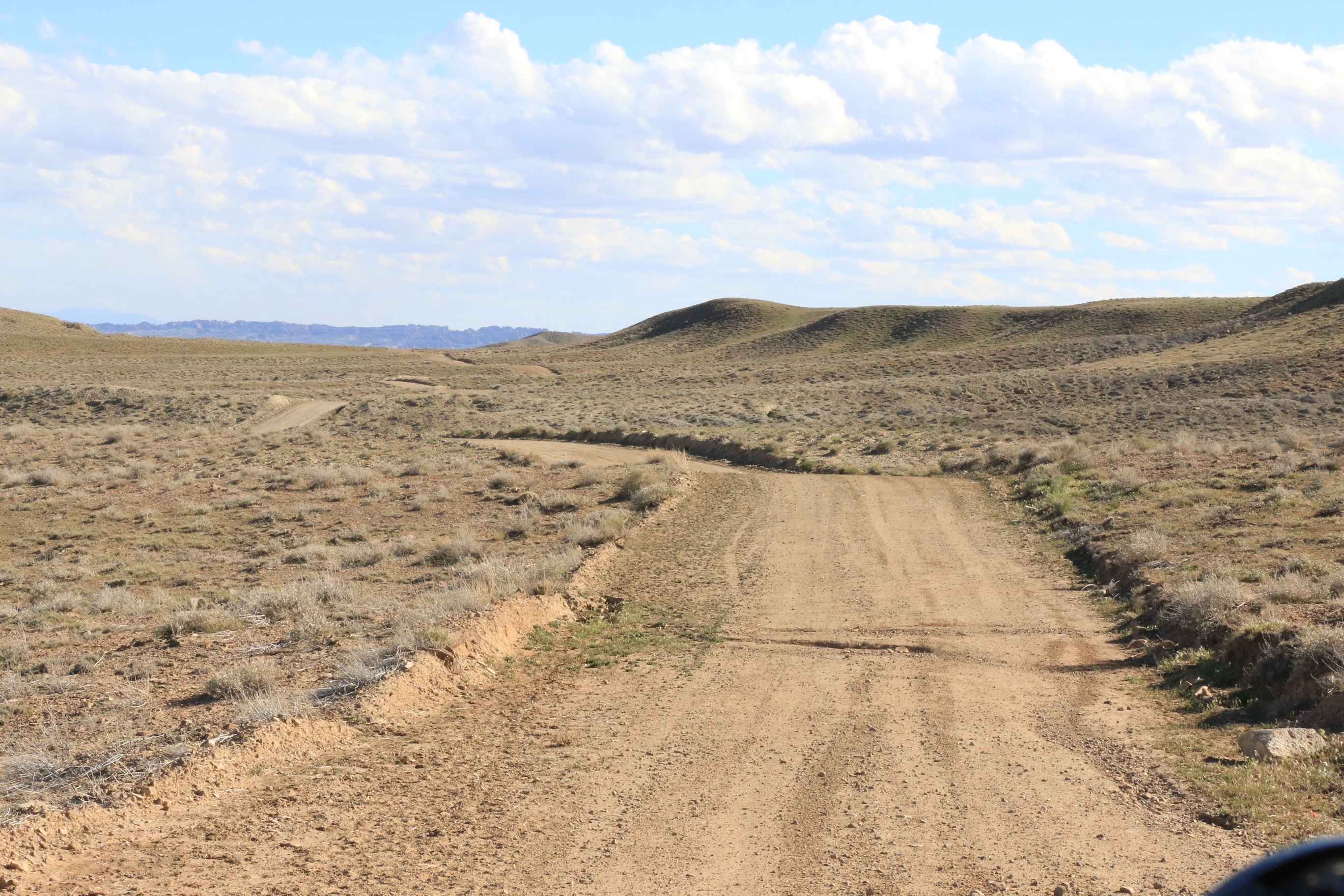
Trail Overview
Recapture Canyon in the Blanding/Monticello, Utah area is a scenic rocky canyon that borders the Abajo Mountains to the north, Recapture Reservoir and Blanding, Utah to the south. Abajo Mountain is a twin peak that dominates the landscape at over 11k feet on both peaks and frequently has snow until well after Memorial Day. This trail is part of the canyon rim trail system and follows the canyon top until descending at the southern terminus just before Recapture Reservoir. Numerous expansive views of the Abajos and the Recapture Canyon, numerous side spurs along this trail, and great stopping points at the canyon edge.
Photos of FR50084/Recapture Road


Difficulty
The trail can be extremely slippery after precipitation. The trail was mapped the day after a rain, and 4WD was necessary in several uphill spots as a result. During dry weather, this issue would be minimized.
History
Further south in Recapture Canyon, to the east of Blanding, lie numerous Pueblo Indian structures. This area is now off limits to OHVs but is regarded as an incredible hike that some compare to Mesa Verde. Historically, it's been dated back to the 1100s.
Status Reports
FR50084/Recapture Road can be accessed by the following ride types:
- High-Clearance 4x4
- SUV
- SxS (60")
- ATV (50")
- Dirt Bike
FR50084/Recapture Road Map
Popular Trails
La Verkin Overlook - County Road 395
Lost World - D2700

Lower Stock Pond Trail
The onX Offroad Difference
onX Offroad combines trail photos, descriptions, difficulty ratings, width restrictions, seasonality, and more in a user-friendly interface. Available on all devices, with offline access and full compatibility with CarPlay and Android Auto. Discover what you’re missing today!