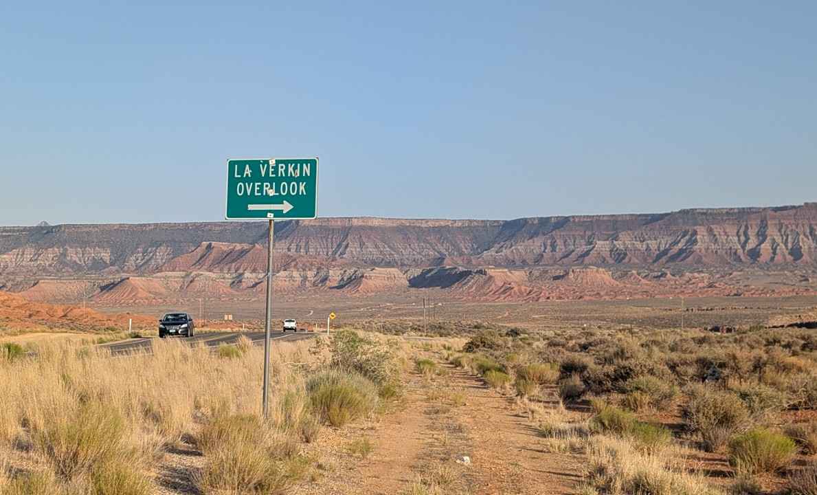
La Verkin Overlook - County Road 395
Total Miles
1.5
Technical Rating
Best Time
Spring, Summer, Fall, Winter
Trail Type
Full-Width Road
Accessible By
Trail Overview
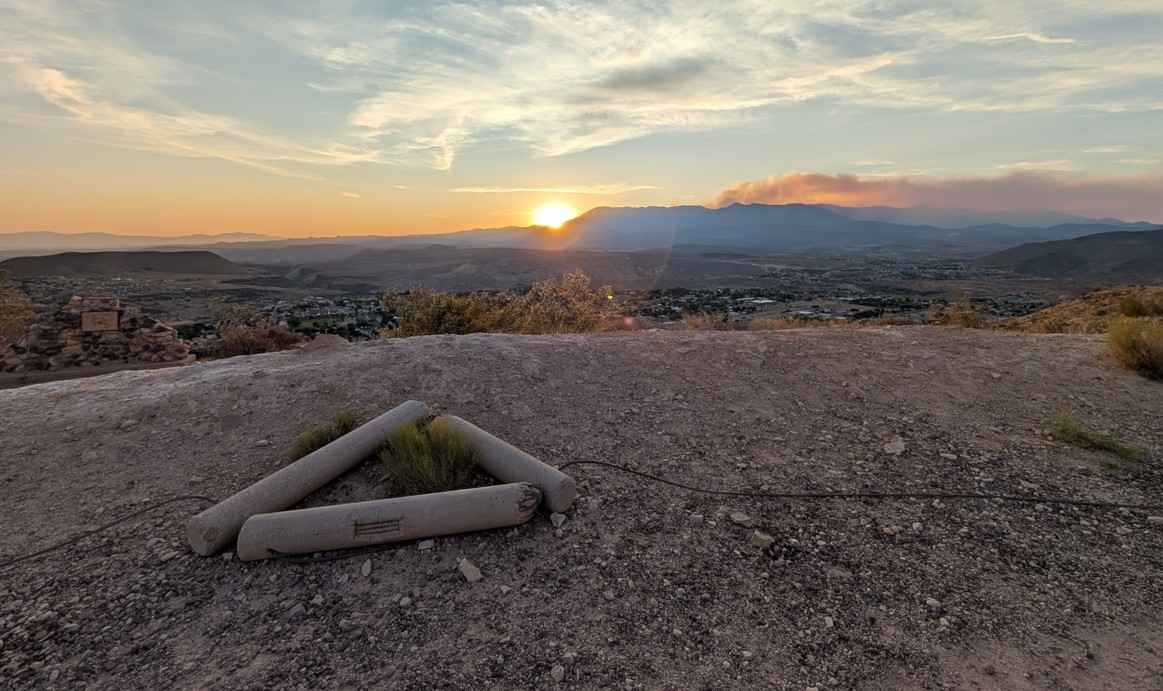
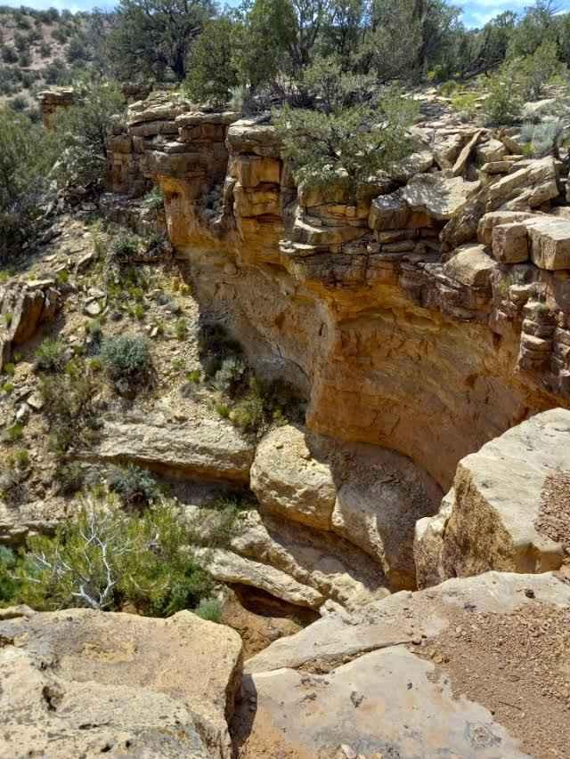
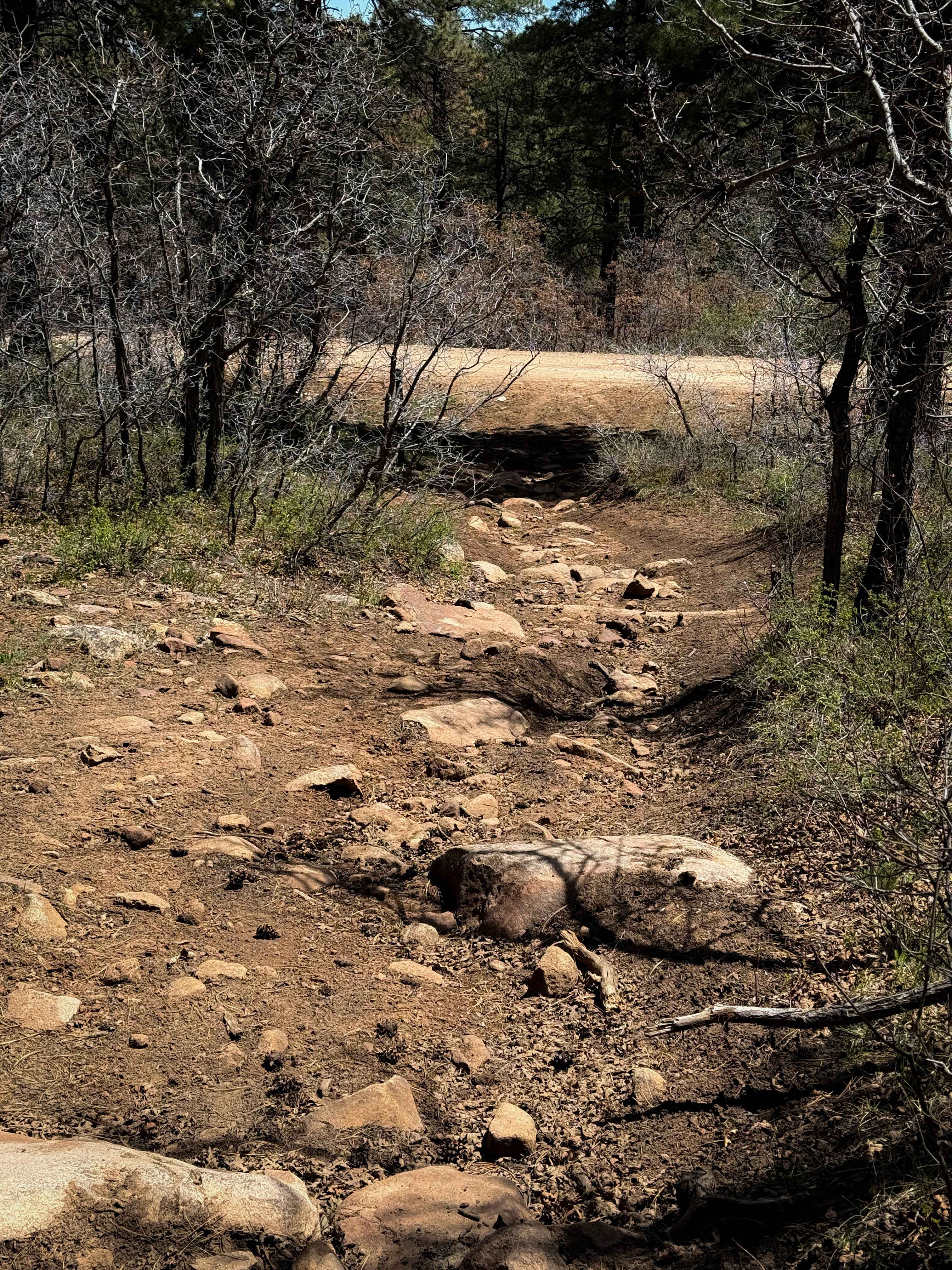
The La Verkin Overlook Road is a 1.5-mile (3-mile round trip) point-to-point trail rated 2 of 10 located in Washington County. The trail is popular with locals for its views of the Hurricane Valley at sunset, as well as being able to see both of the historic canals built in the late 1800s and early 1900s. The road is packed dirt with embedded rock. There are multiple sections where the road has weathered into potholes. Any type of vehicle other than those with extremely low ground clearance can negotiate this trail with a little careful wheel placement. The road is considered a county class D road and transit both BLM and private property. Dispersed camping is allowed within the BLM, and private property is marked. At the southern end, there is a buttonhook in the trail with plenty of parking. To the west are the Hurricane Cliffs, which rise several hundred feet above the valley floor below. Within 100 feet of the parking area to the south and southeast is the view of the Virgin River gorge as it descends from the mesa above to the valley below. Besides the man-made road along the gorge base, there are two other apparent man-made shapes. The line along the north wall is the La Verkin Canal. Completed in 1881, the canal includes an 840-foot tunnel and a 1.25-mile canal that brought water from the Rio Virgin to the community of La Verkin. Water was diverted from the canal through a 42-inch pipe to Power Plant #4, built in 1928, and continued to operate until 1983, providing electricity to La Verkin and Hurricane. On the south wall are the very visible remains of the Hurricane Canal. The canal follows along the south side of the Virgin River in a westerly direction, running along the face of the Virgin River Canyon walls for a distance of approximately three and one-half miles. It then leaves the canyon and turns south along the west slope of the Hurricane cliffs for a distance of approximately three miles, where it leaves the cliffs, turning west to provide water for the fields located on the Hurricane Bench. The canal consists of 12 tunnels, six wooden flumes, and miles of canal that are visible from most places in Hurricane. The Hurricane Canal was completed in 1904. From the overlook, there are views of Smith's Mesa to the north, Zion National Park, West Temple Mountain to the east, and Gooseberry Mesa to the south. Cell phone service is good, and the nearest services are located in La Verkin and Hurricane.
Photos of La Verkin Overlook - County Road 395
Difficulty
County dirt road with infrequent or light maintenance that is generally suitable for most 2WD and 4WD vehicles. After rain or snow, high clearance light-duty 4WD may be required.
Status Reports
La Verkin Overlook - County Road 395 can be accessed by the following ride types:
- High-Clearance 4x4
- SUV
- SxS (60")
- ATV (50")
- Dirt Bike
La Verkin Overlook - County Road 395 Map
Popular Trails

Summerville Connector

BLM1443 - Davis Canyon Road
Wolverine Loop Road
The onX Offroad Difference
onX Offroad combines trail photos, descriptions, difficulty ratings, width restrictions, seasonality, and more in a user-friendly interface. Available on all devices, with offline access and full compatibility with CarPlay and Android Auto. Discover what you’re missing today!