Fossil Point
Total Miles
5.9
Technical Rating
Best Time
Spring, Summer, Fall, Winter
Trail Type
Full-Width Road
Accessible By
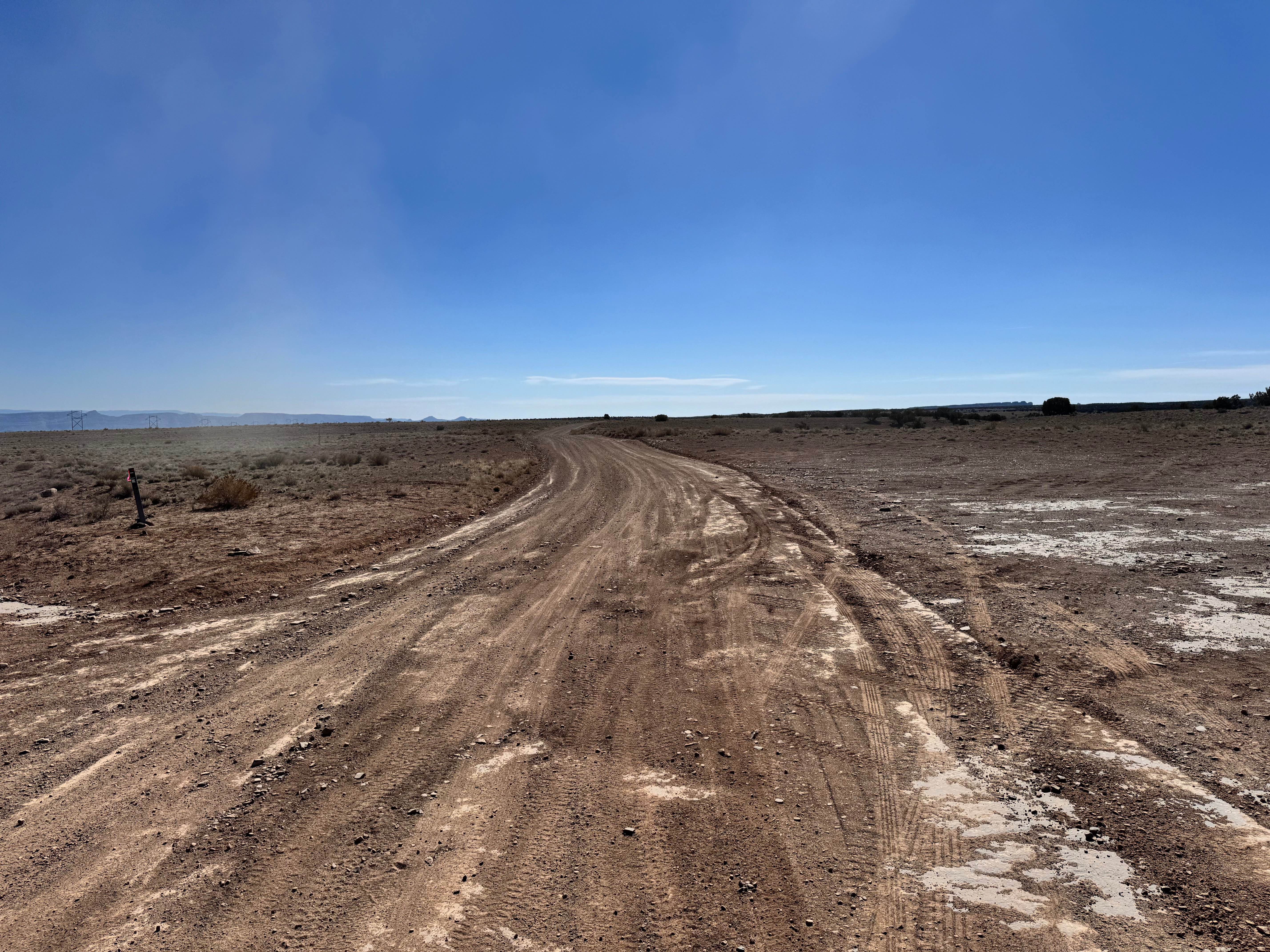
Trail Overview
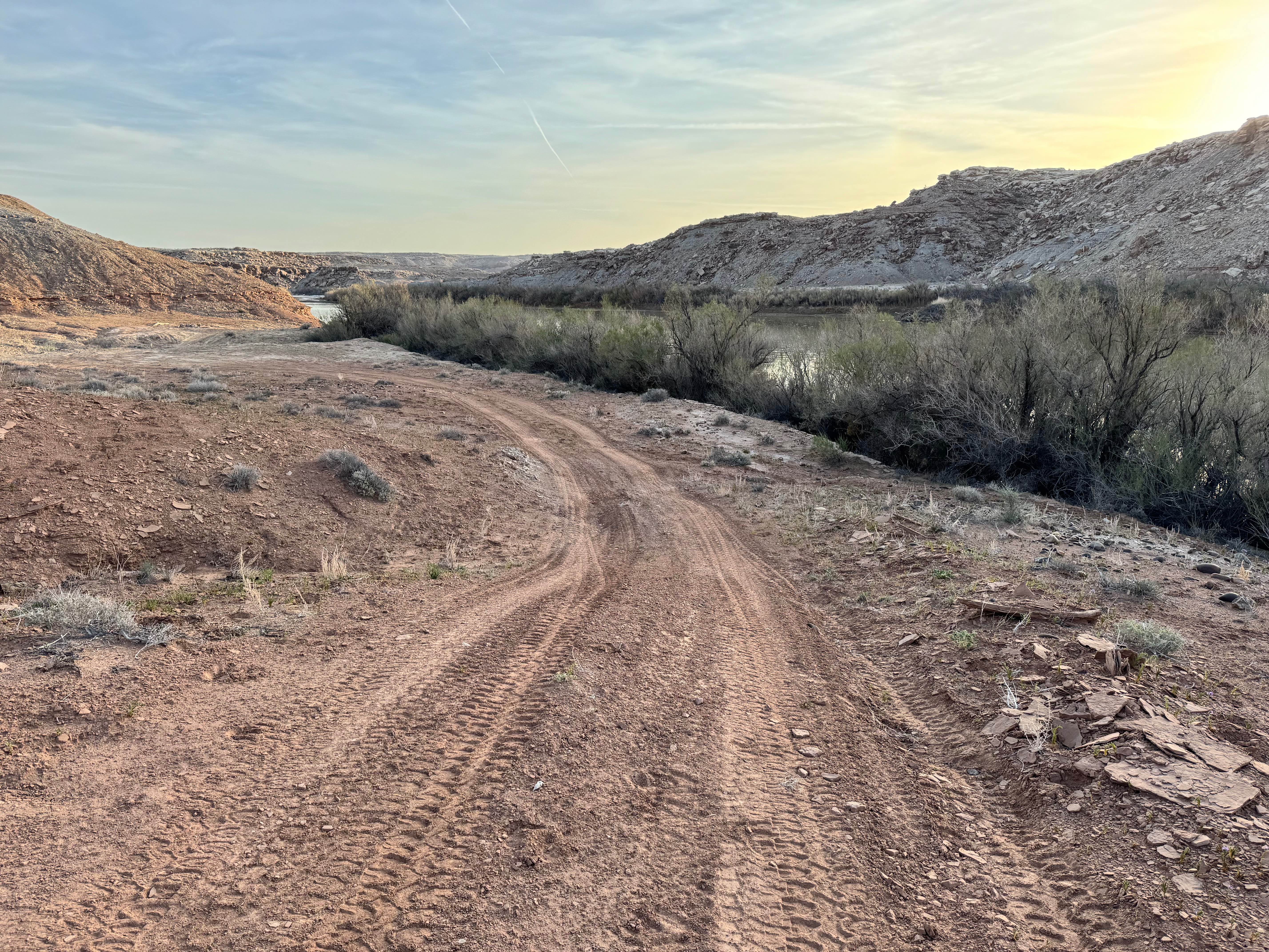
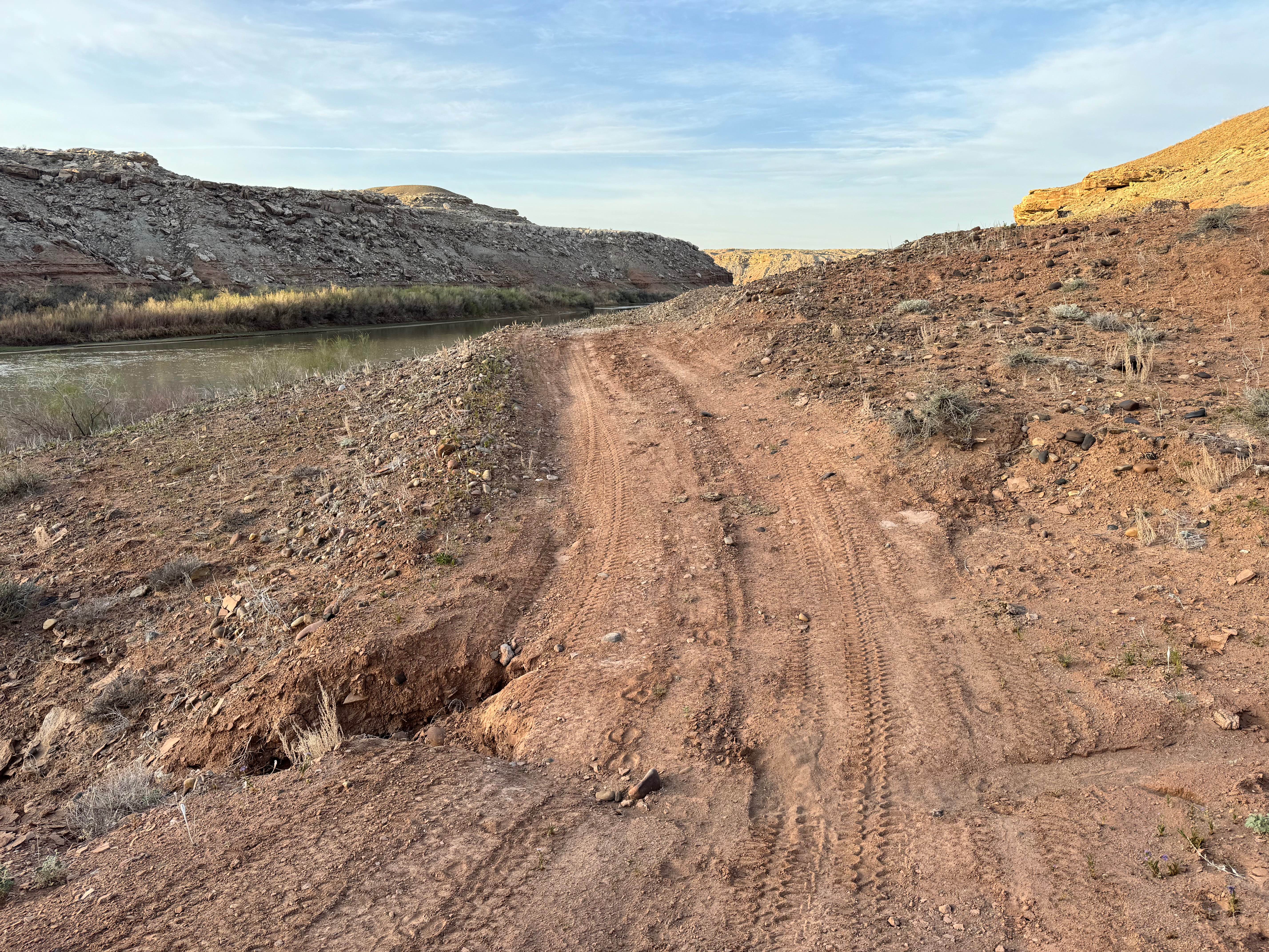
Fossil Point is a scenic and increasingly technical route that crosses the flood plains of the San Rafael Swell before dropping toward the Green River. The trail begins with a mix of sand, rock, shallow wash crossings, and active drainage areas where water may still flow after storms. Early on, a small picnic area with a single shaded table offers a great place to stop for lunch and access several well-used but unmarked hiking paths. This area is known for visible dinosaur fossils and concretions embedded in the cliffs, with bones dating back roughly 145 million years to the Jurassic Era. Fossils may be photographed and observed, but removing any material is illegal. Past the fossil site, the trail becomes more challenging as it descends through rougher terrain with deeper ruts, sandstone ledges, off-camber hills, and narrow switchbacks. Low range, high clearance, and durable tires are strongly recommended. The reward at the end is lower access near the brushy banks of the Green River, with limited camping available on sandy flats along the river corridor.
Photos of Fossil Point
Difficulty
Fossil Point starts as a fairly manageable trail with sand, shallow wash crossings, small ledges, and moderate ruts. After the fossil area, the route becomes more demanding with deeper washouts, 6-12 inch rock ledges, off-camber hills, narrow switchbacks, and loose climbs that require low range and careful driving.
History
Fossil Point is known for exposed Jurassic-era fossils estimated to be around 145 million years old. The region preserves evidence of ancient ecosystems that existed long before the modern desert landscape formed. Today, the route also serves as a recreational access road into one of the most scenic parts of the Green River corridor.
Status Reports
Fossil Point can be accessed by the following ride types:
- High-Clearance 4x4
- SUV
- SxS (60")
- ATV (50")
- Dirt Bike
Fossil Point Map
Popular Trails
Fallen Tree Gulch (FS#40634)
Box Flat Road
Willow Hollow (2159)
The onX Offroad Difference
onX Offroad combines trail photos, descriptions, difficulty ratings, width restrictions, seasonality, and more in a user-friendly interface. Available on all devices, with offline access and full compatibility with CarPlay and Android Auto. Discover what you’re missing today!