Green River Cutoff
Total Miles
43.8
Technical Rating
Best Time
Spring, Summer, Fall, Winter
Trail Type
Full-Width Road
Accessible By
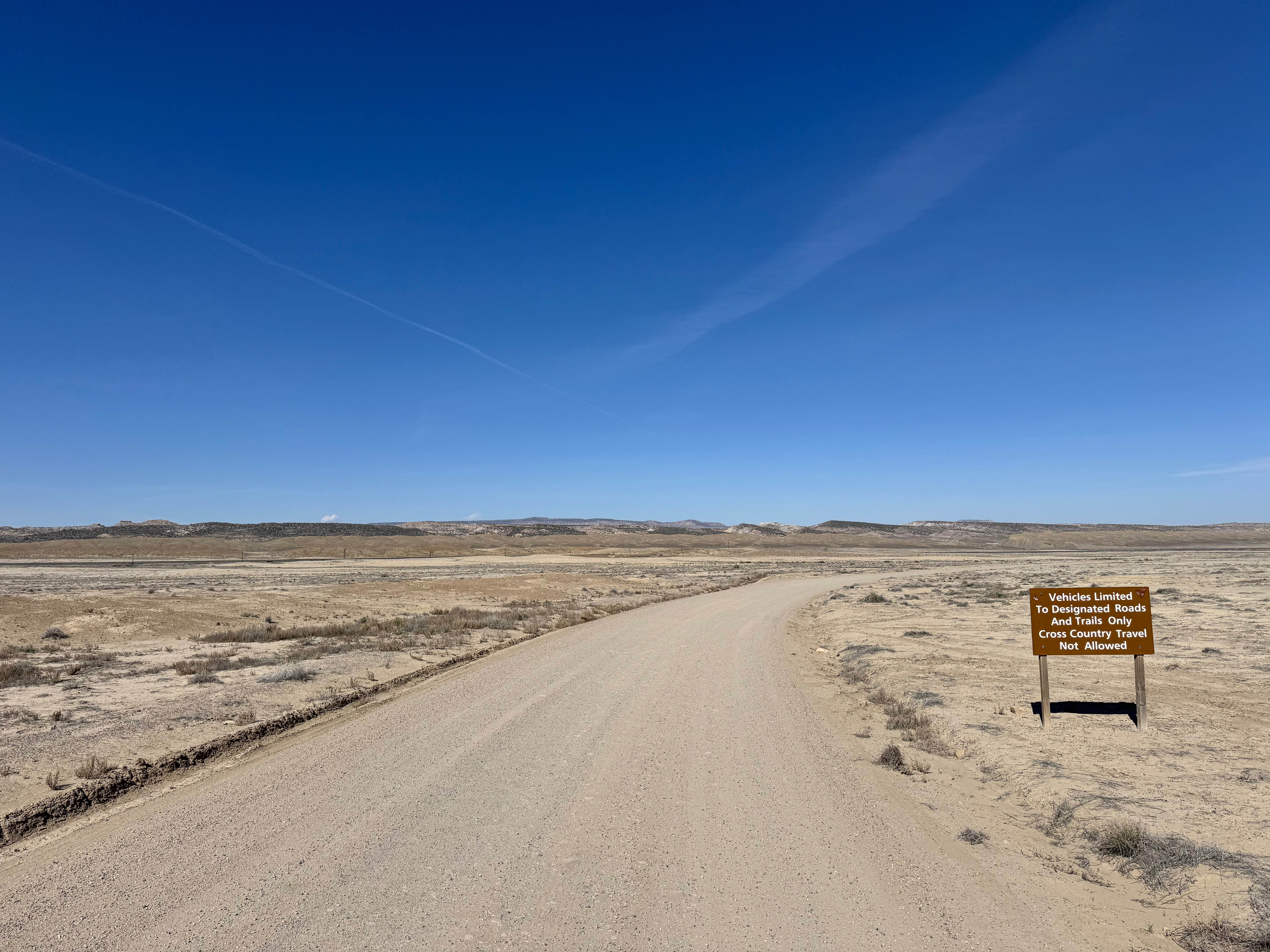
Trail Overview
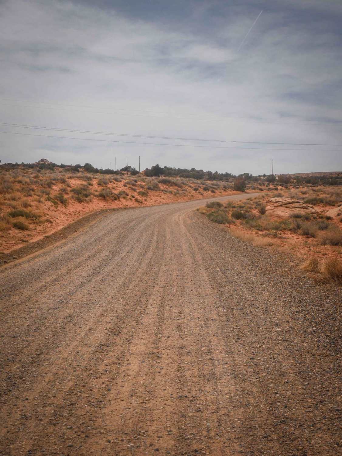
Green River Cutoff Road is one of the main gateway routes through the San Rafael Swell and an excellent choice for travelers wanting big scenery with easy access. This well-maintained road can typically be driven by any stock vehicle in dry conditions. The Castle Dale side is oiled and rolled, giving it an asphalt-like appearance, but it remains a gravel surface, so obey posted speeds and use caution in corners. The Green River side is more winding and often sees traffic from campers and overlanders heading to dispersed campsites. Scenic views stretch across mesas, canyons, and open desert on both ends of the route. Numerous side roads branch off to trails, overlooks, and camps, making this an ideal base road for a weekend of exploration, family travel, photography, and backcountry adventure.
Photos of Green River Cutoff

Difficulty
Green River Cutoff Road is a smooth, well-maintained gravel route suitable for most stock SUVs, crossovers, trucks, and even passenger cars in dry weather. There are no major obstacles, ledges, or technical sections on the main road. The primary challenges come from loose gravel, curves, occasional traffic, dust, and changing road conditions after rain. The Castle Dale side can feel like pavement but still requires caution, as the gravel surface may cause sliding if driven too fast. The Green River side has more curves and campers entering or exiting side roads.
History
Green River Cutoff serves as a modern access route through one of Utah's most historic and rugged landscapes. The San Rafael Swell has long been a corridor for travelers, ranchers, miners, and explorers crossing central Utah. Today, the road connects visitors to that same remote country while opening access to countless historic routes, old mining areas, and backcountry destinations.
Status Reports
Green River Cutoff can be accessed by the following ride types:
- High-Clearance 4x4
- SUV
- SxS (60")
- ATV (50")
- Dirt Bike
Green River Cutoff Map
Popular Trails
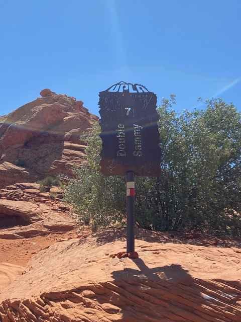
Double Sammy
Dinosour Tracks Extension Loop
Mill Canyon (2040)
South Jacobs Tanks Road
The onX Offroad Difference
onX Offroad combines trail photos, descriptions, difficulty ratings, width restrictions, seasonality, and more in a user-friendly interface. Available on all devices, with offline access and full compatibility with CarPlay and Android Auto. Discover what you’re missing today!